Well after nearly 18 months of this blog being broke I’ve moved from b2evolution to wordpress due to the fact that the main developer of b2evolution no longer wanted to update the web app for new European regulations.
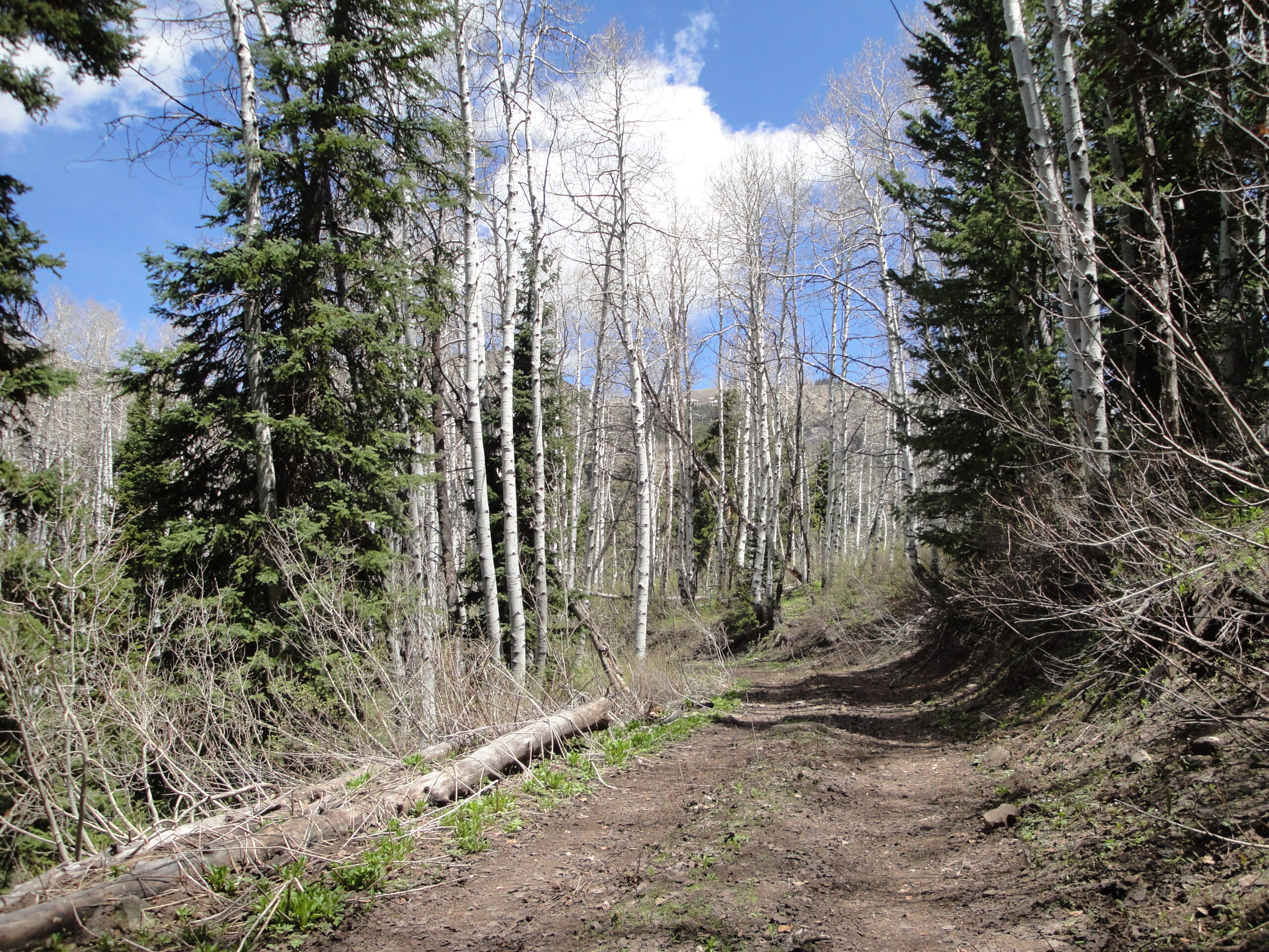
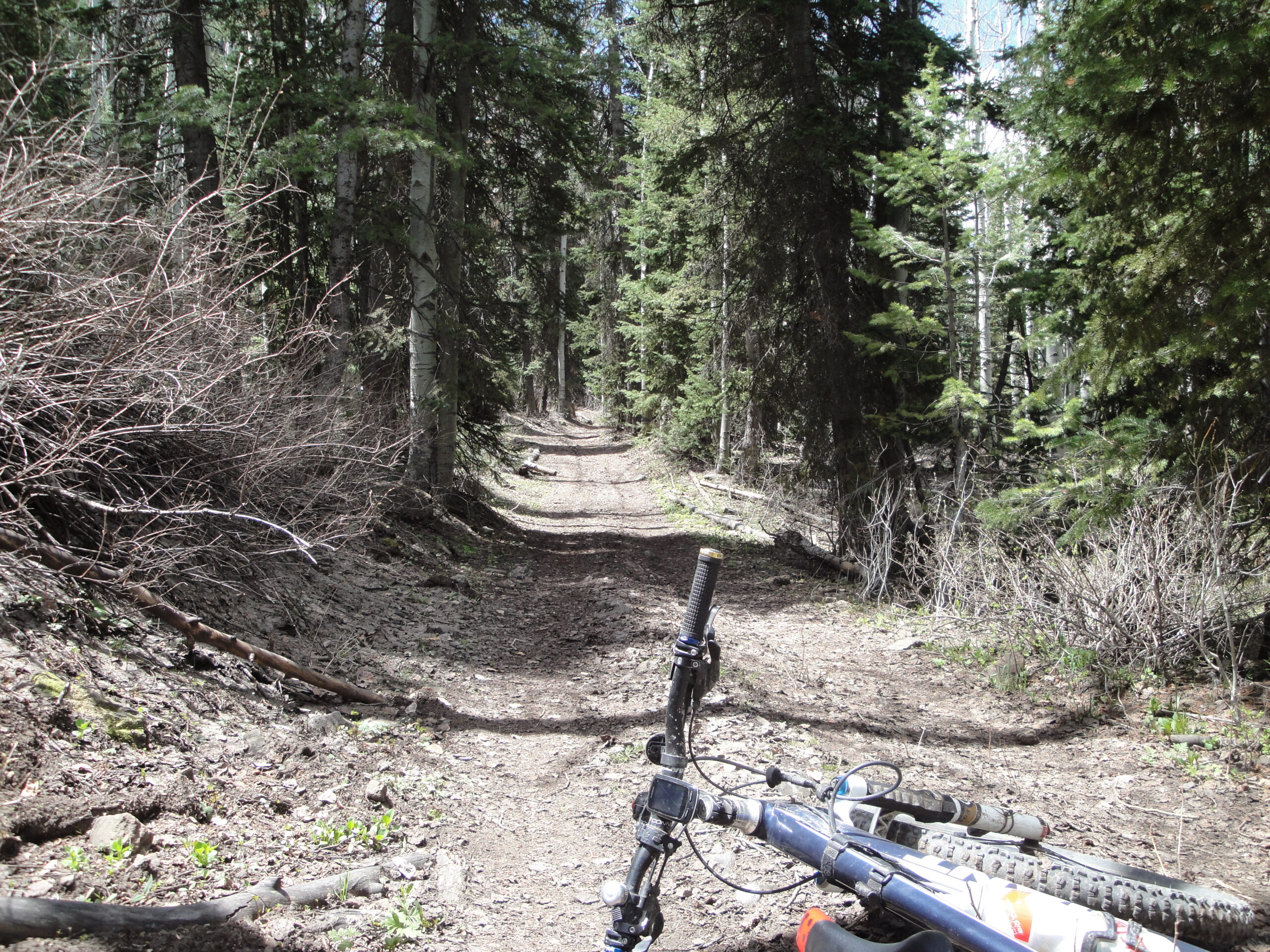
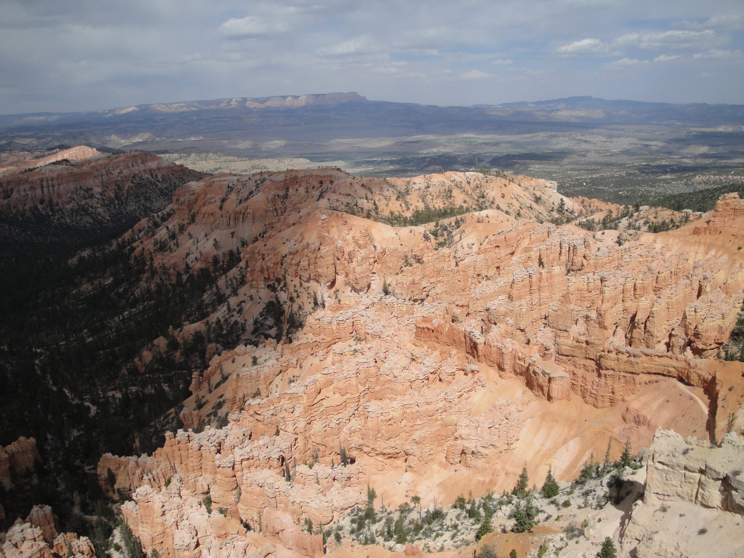
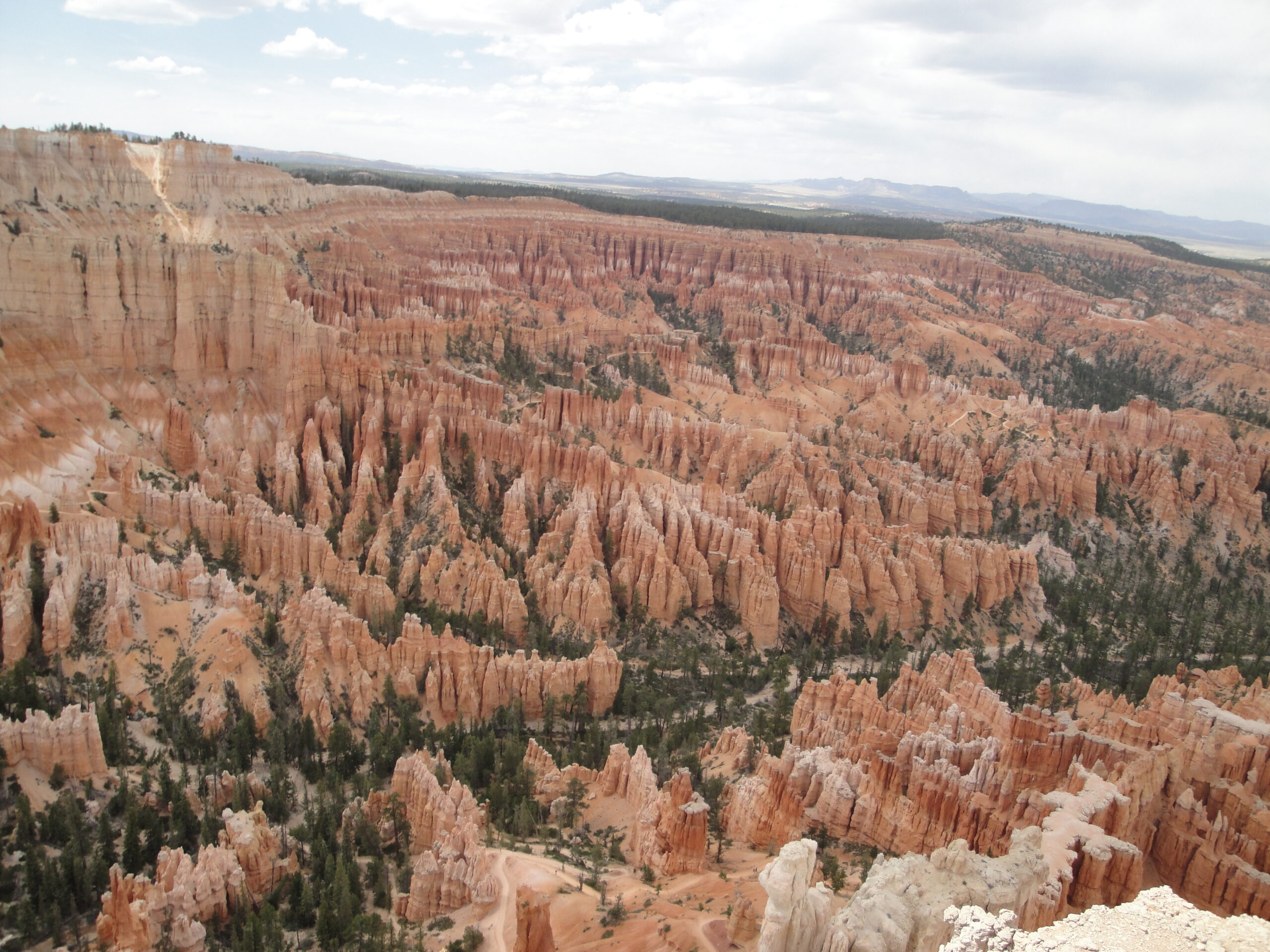
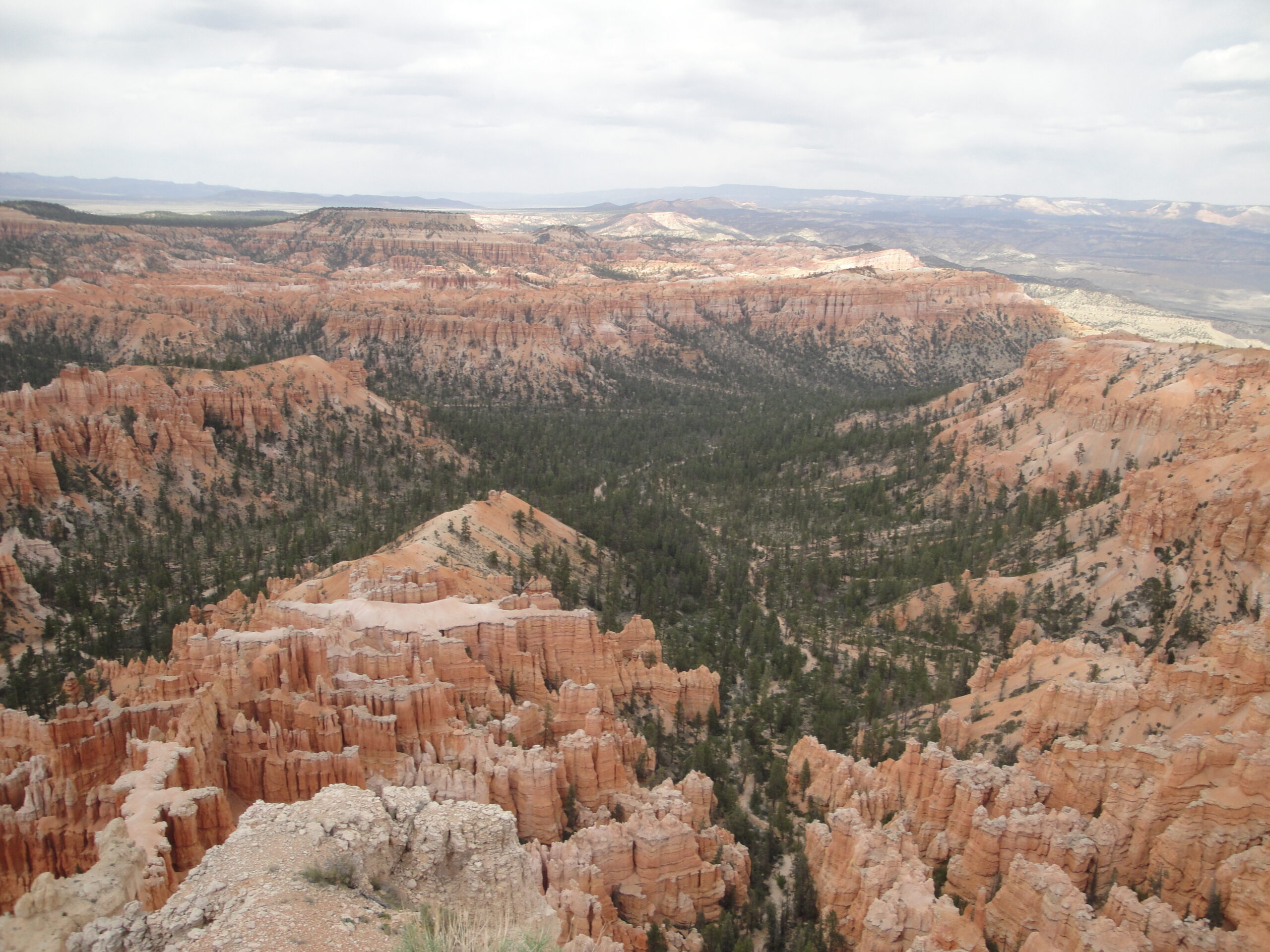
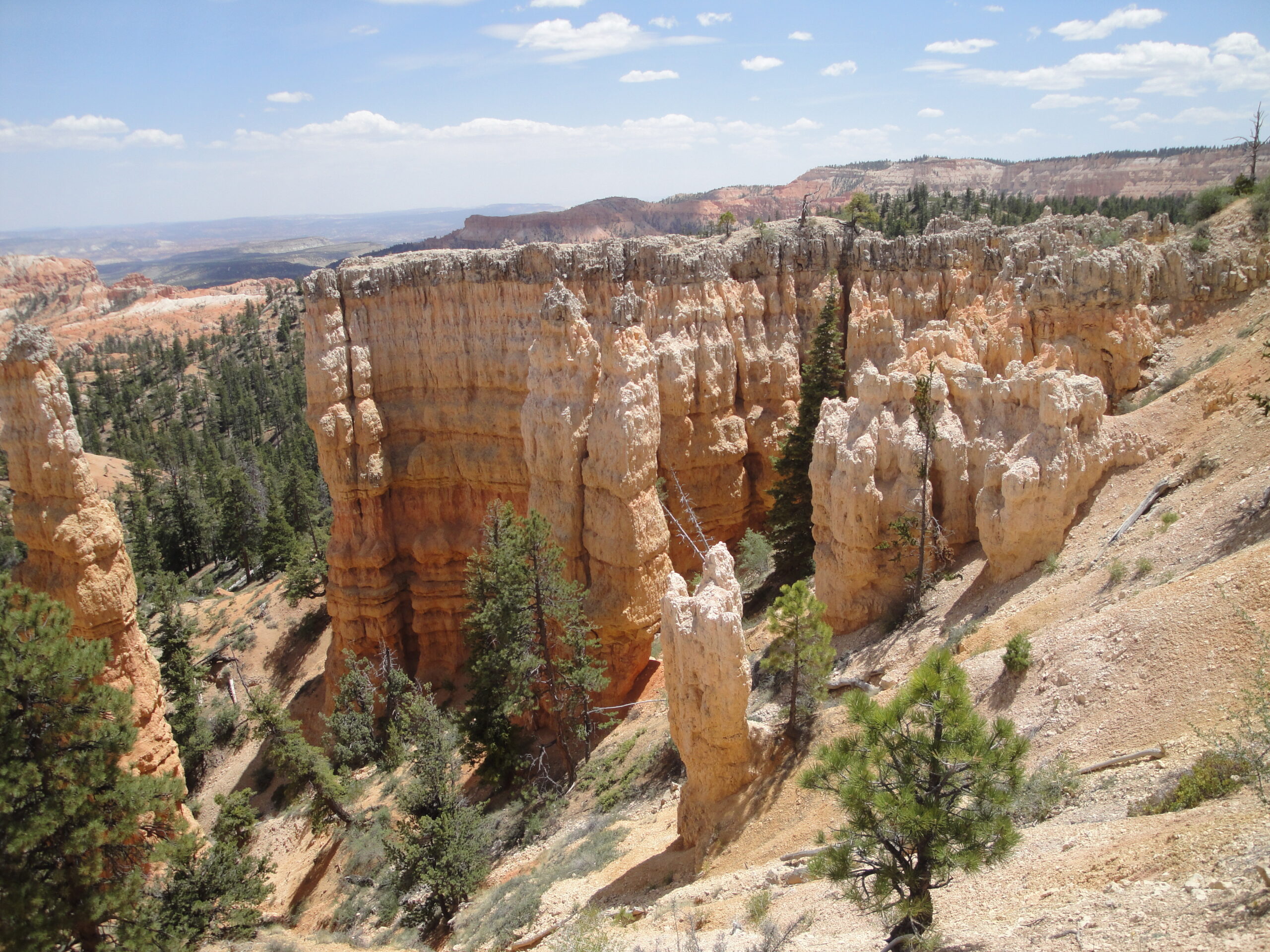
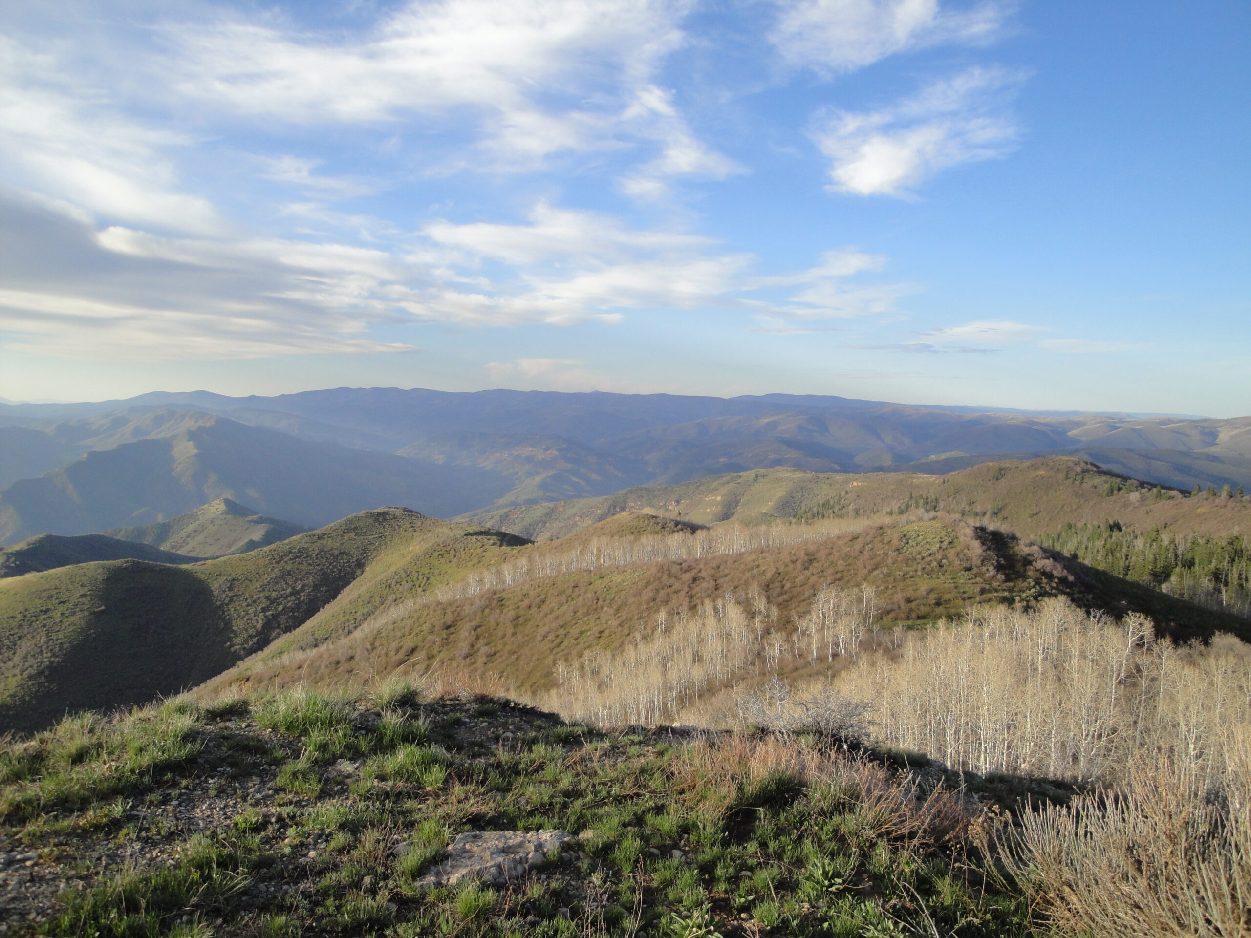
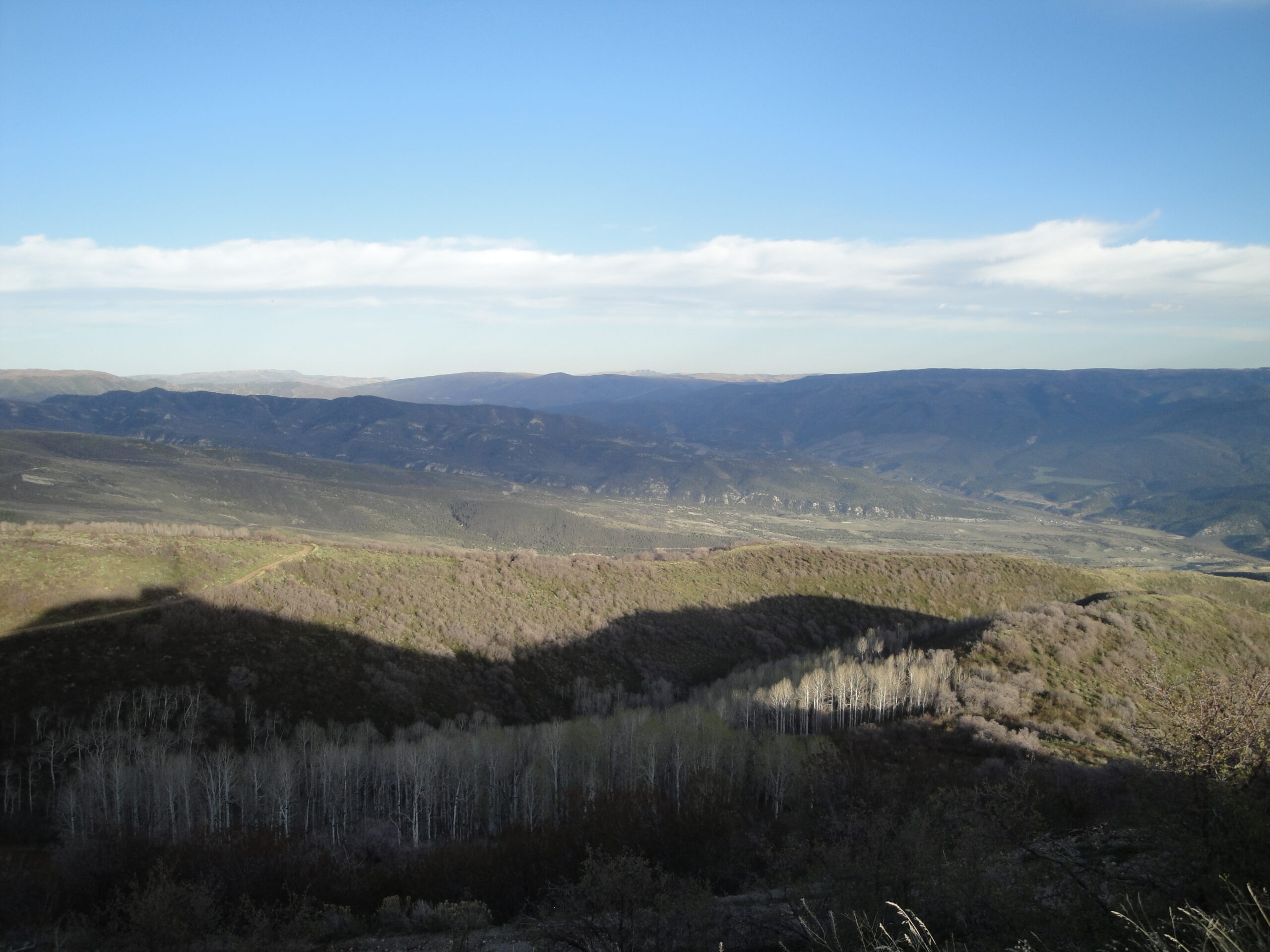
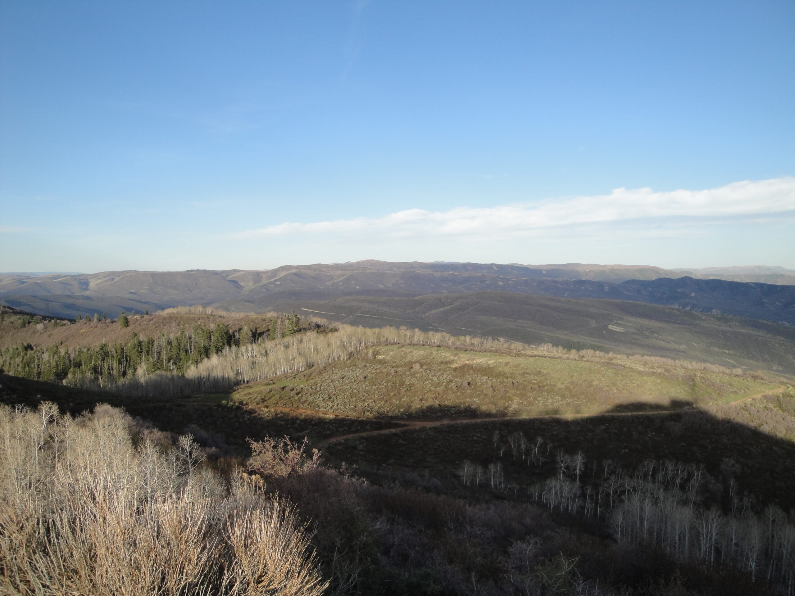
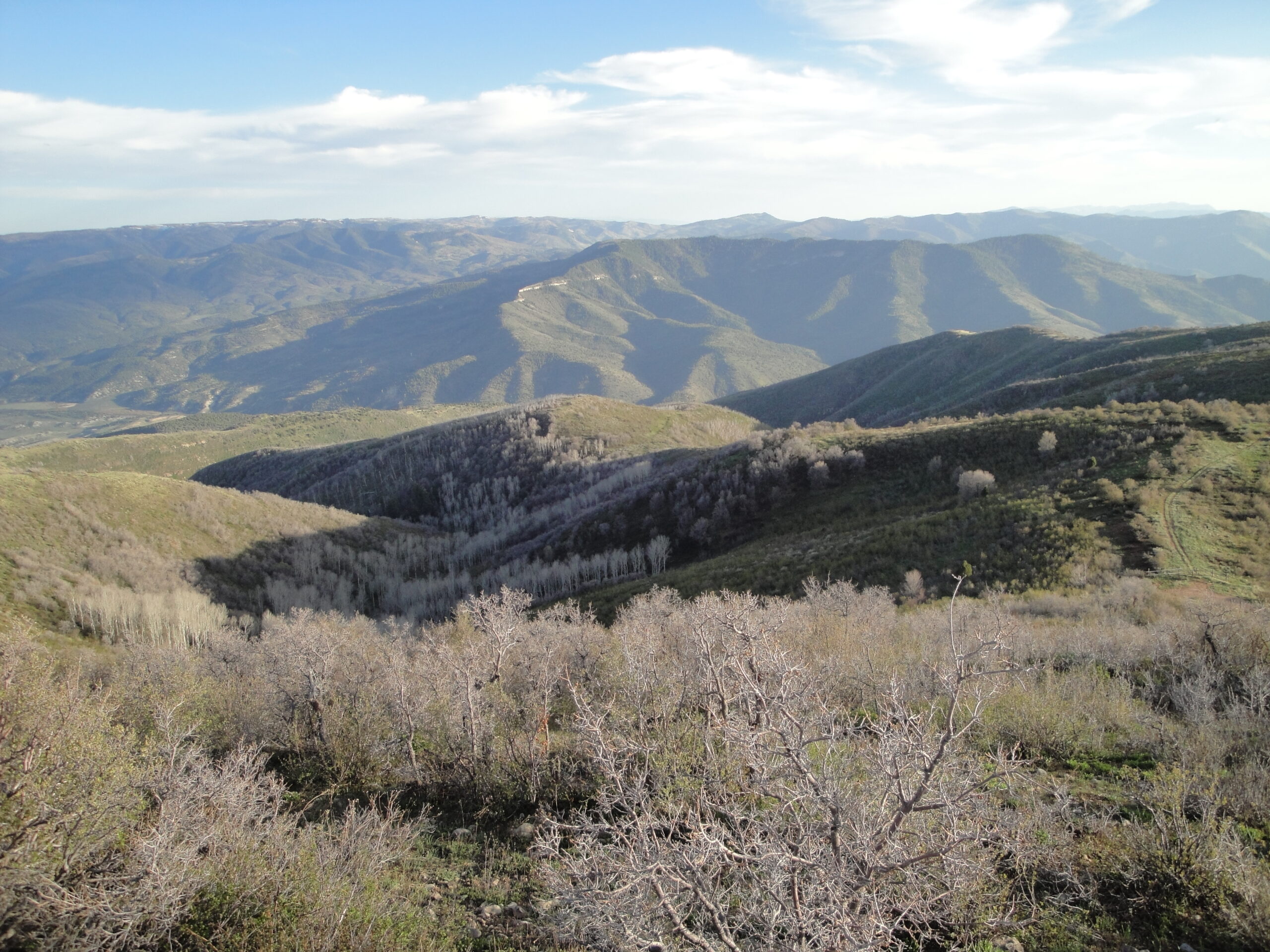
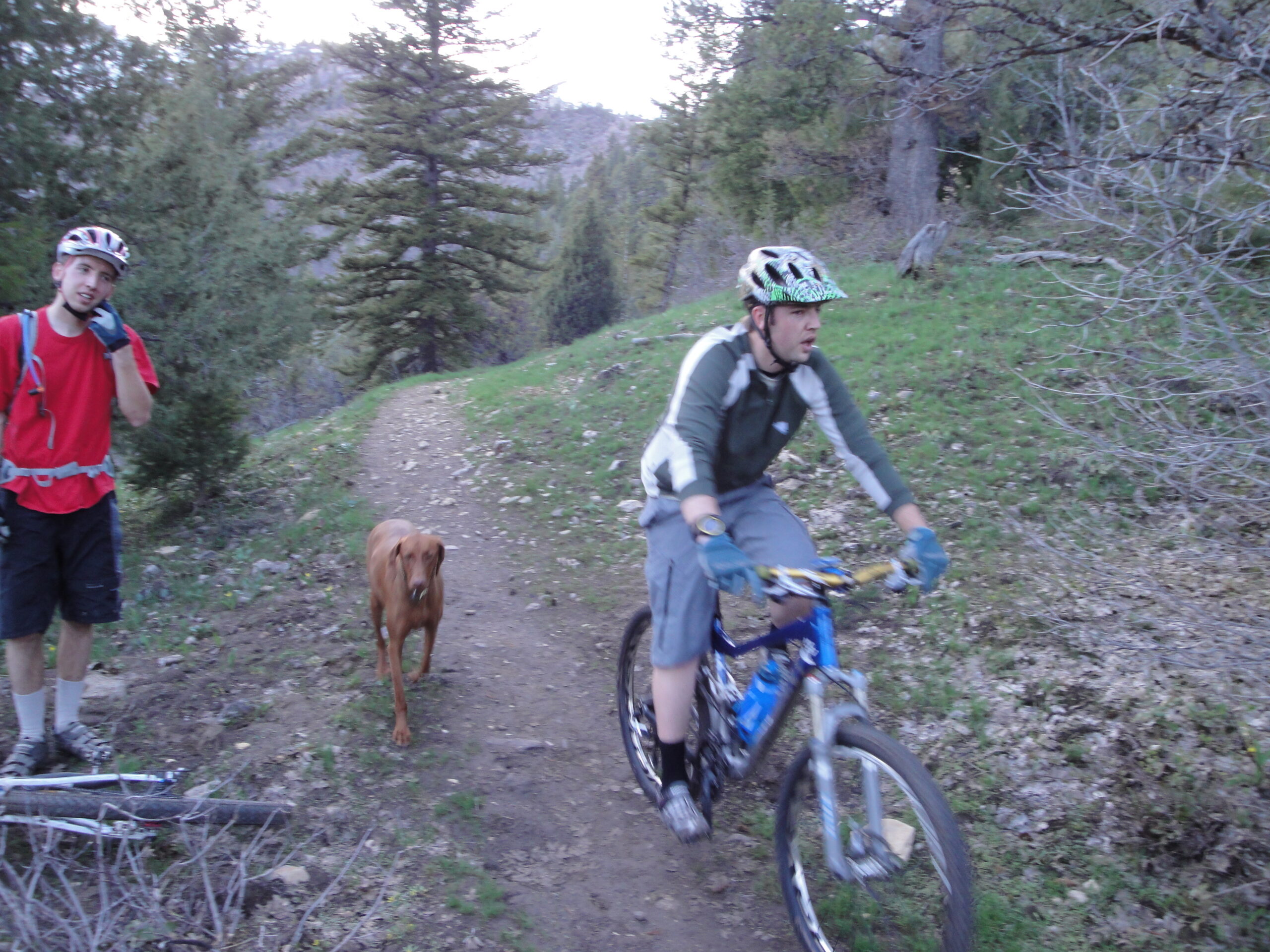
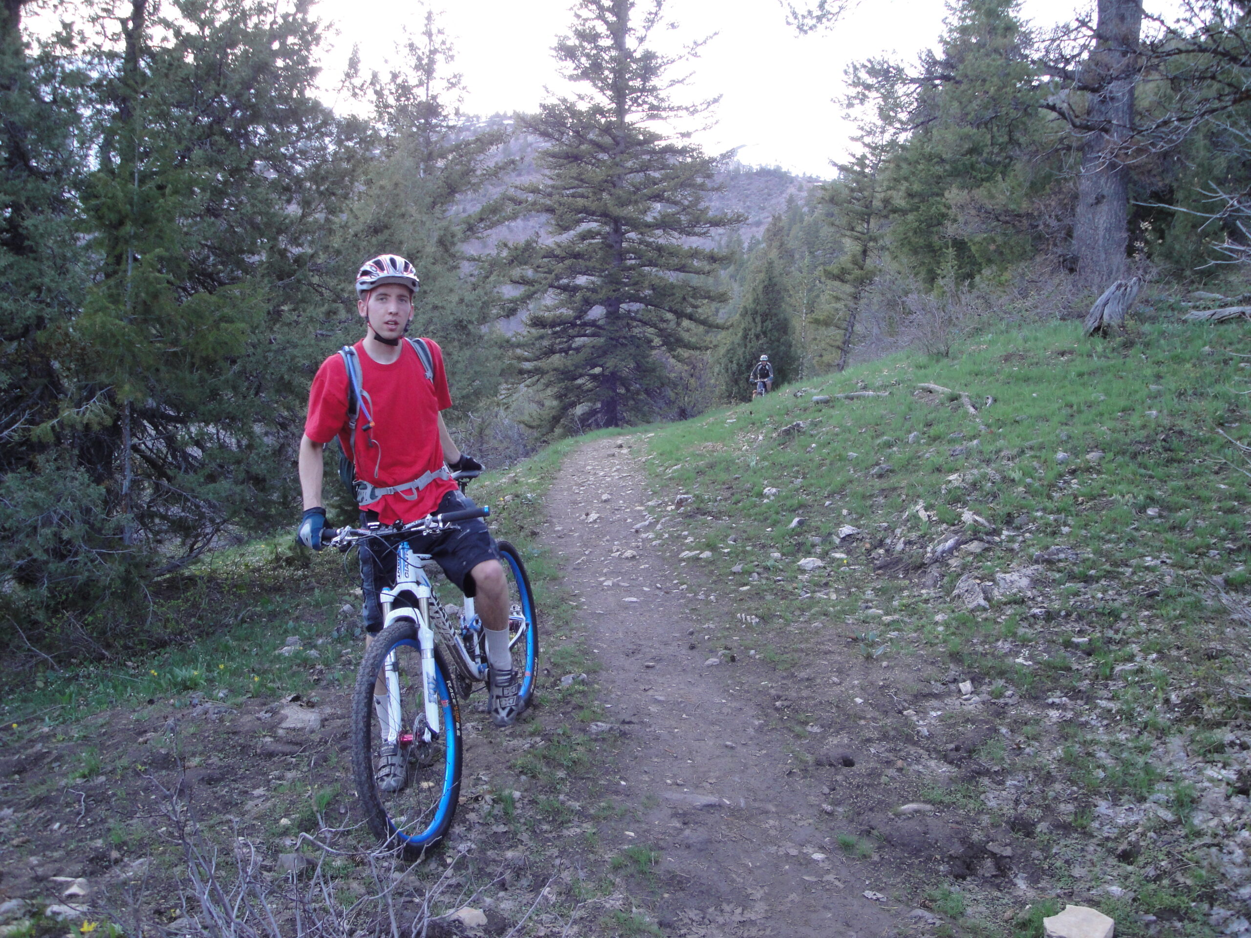
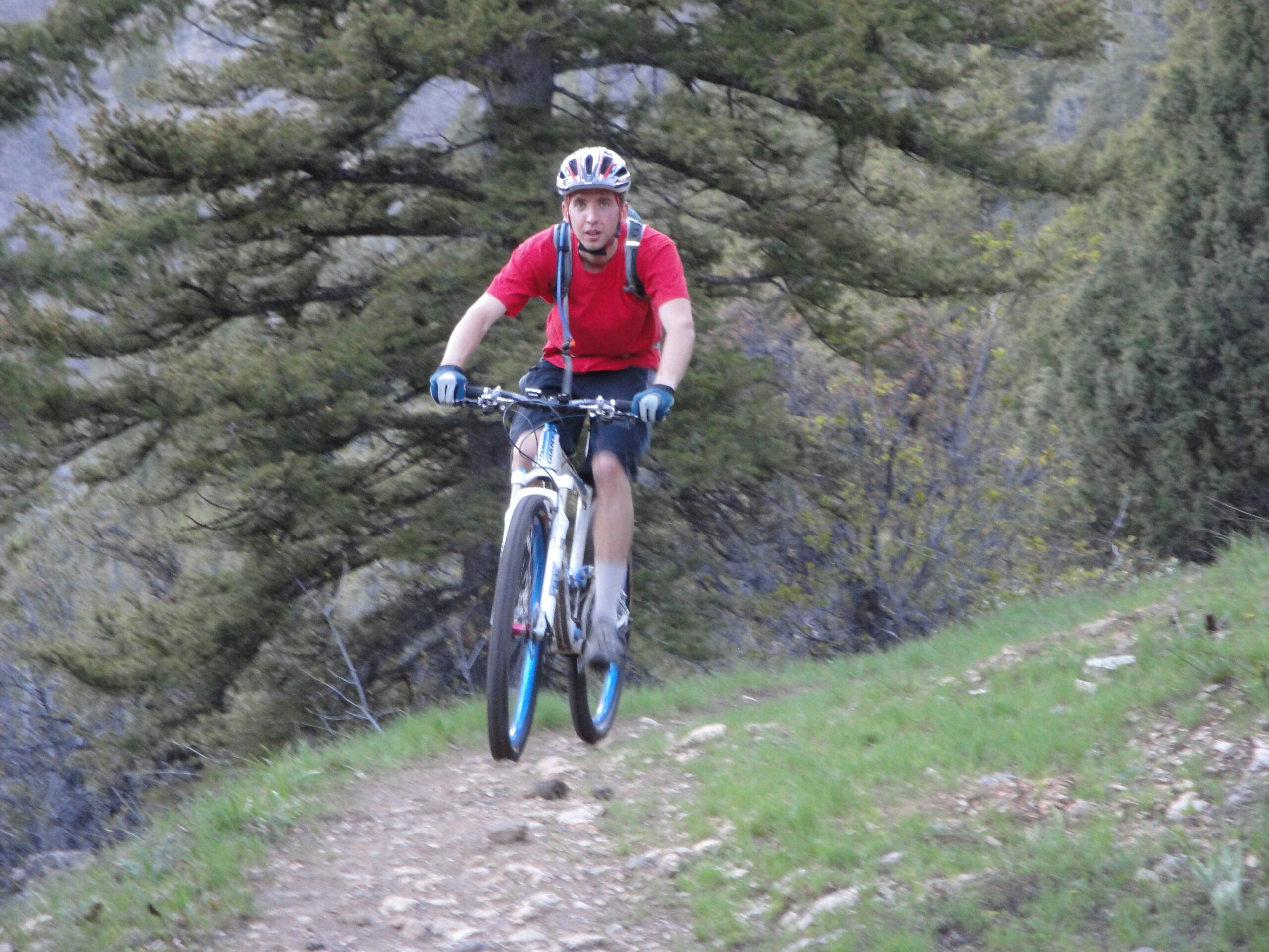
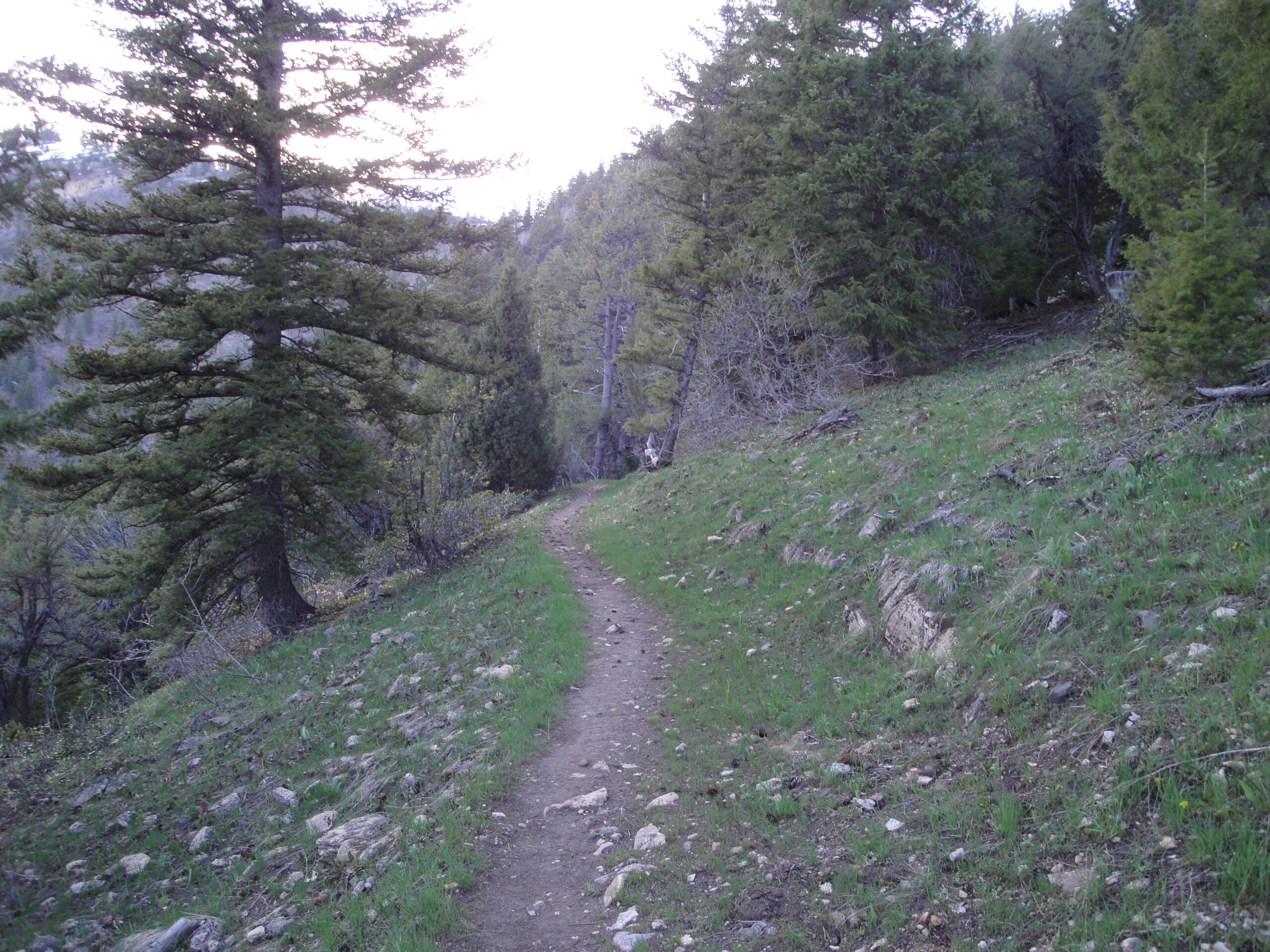
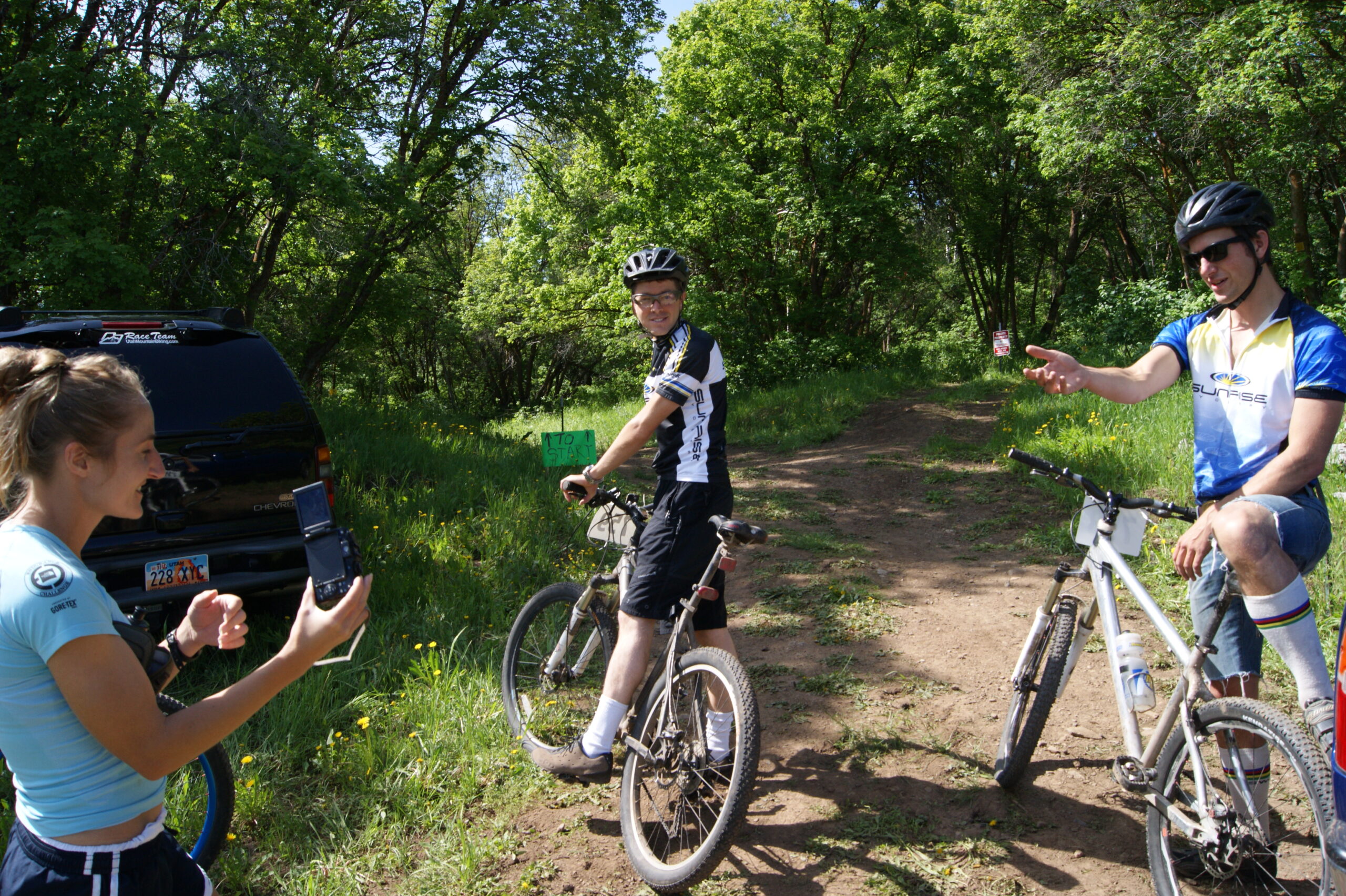
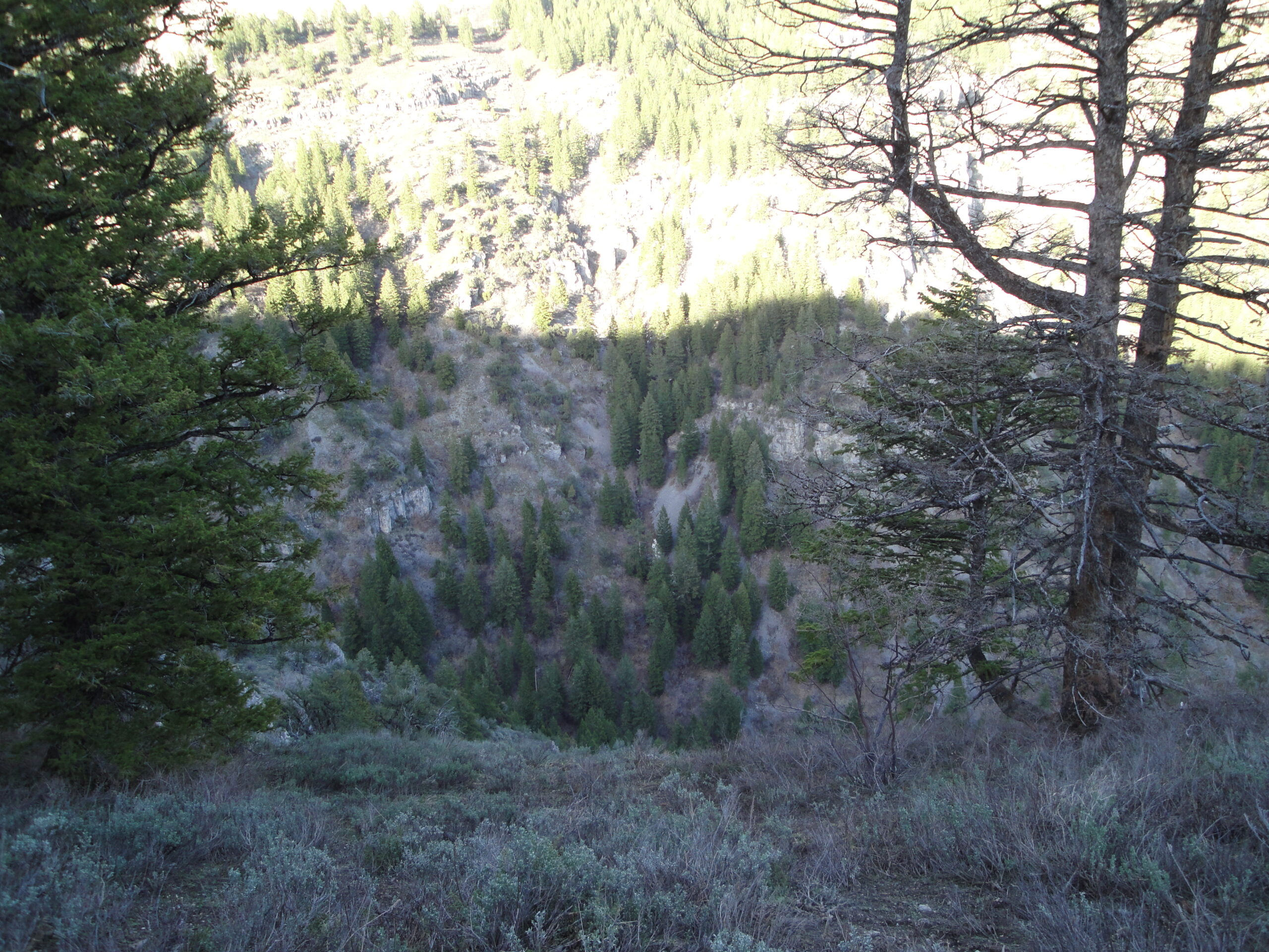
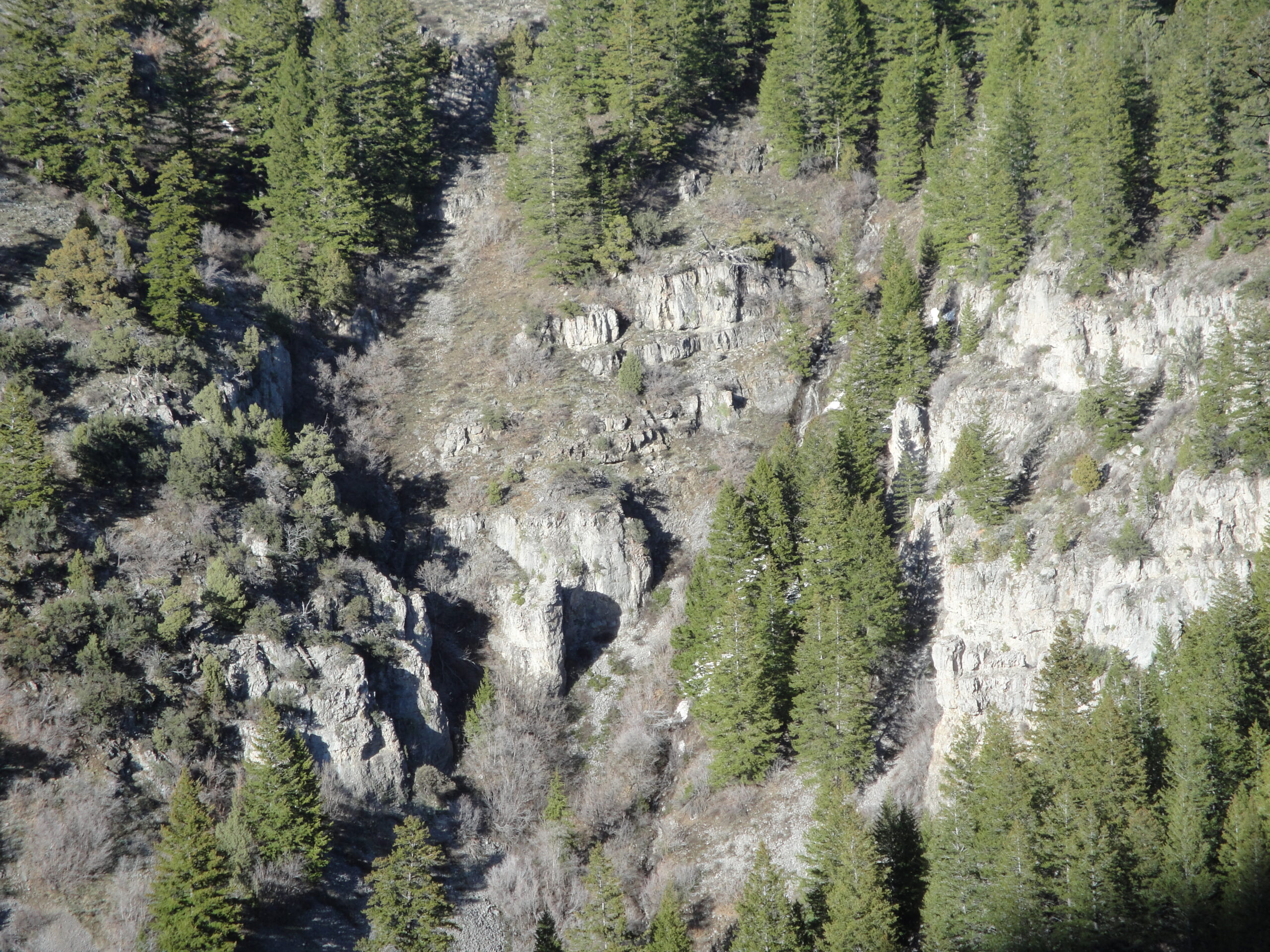
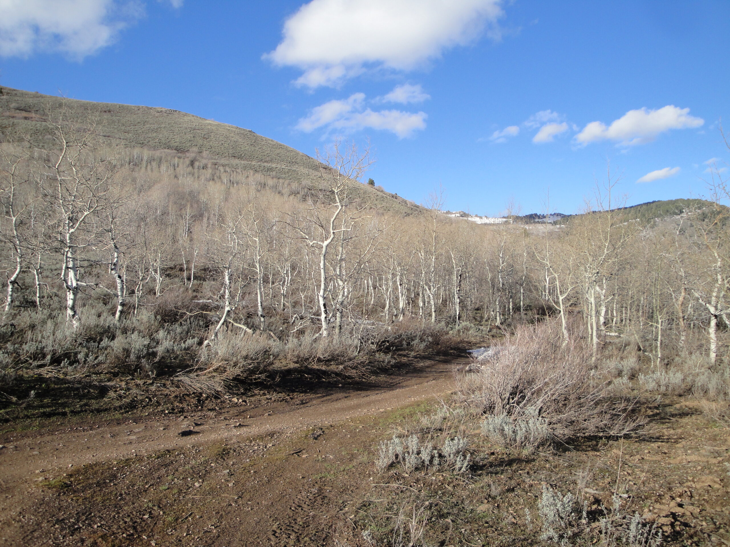
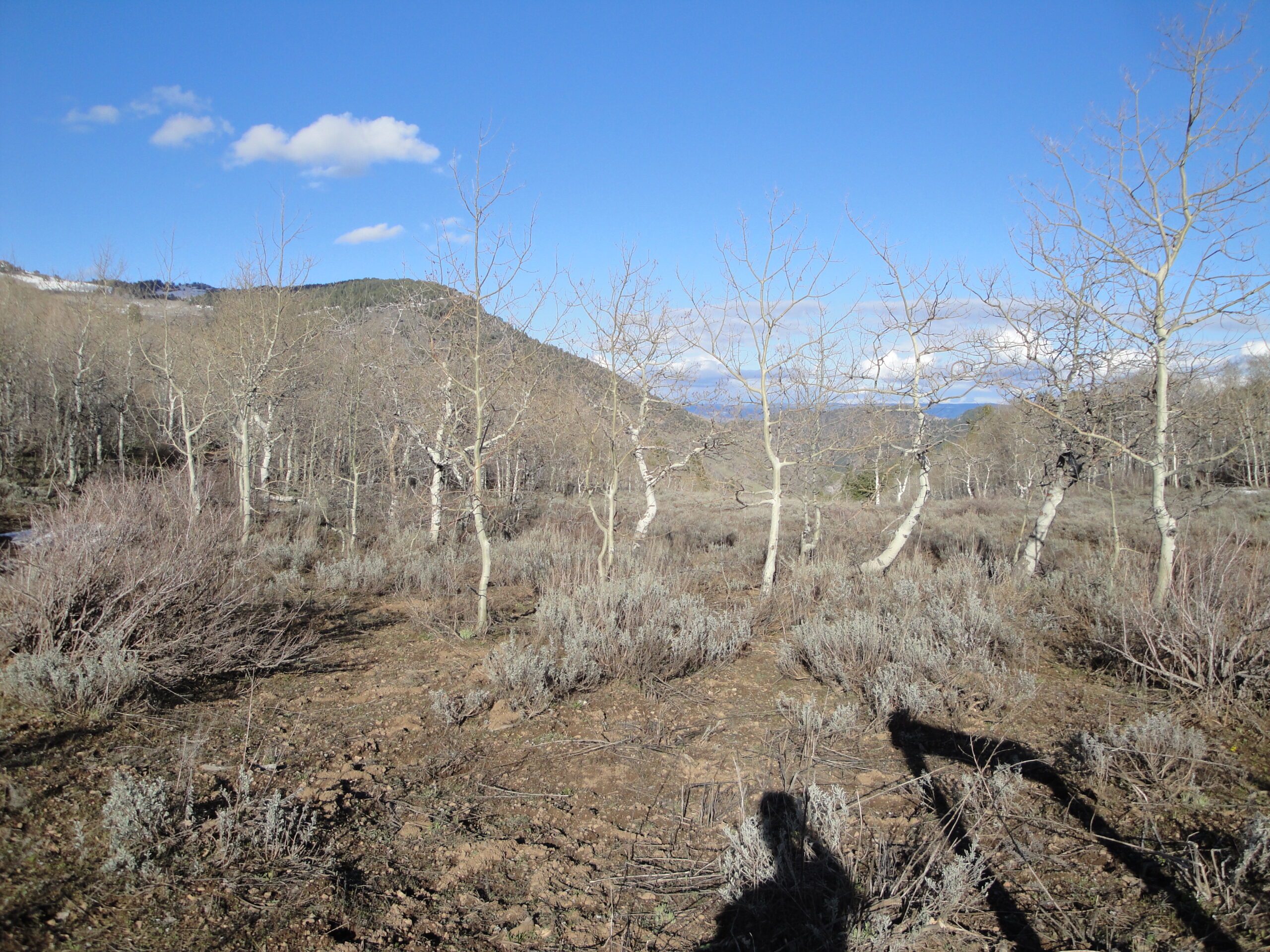
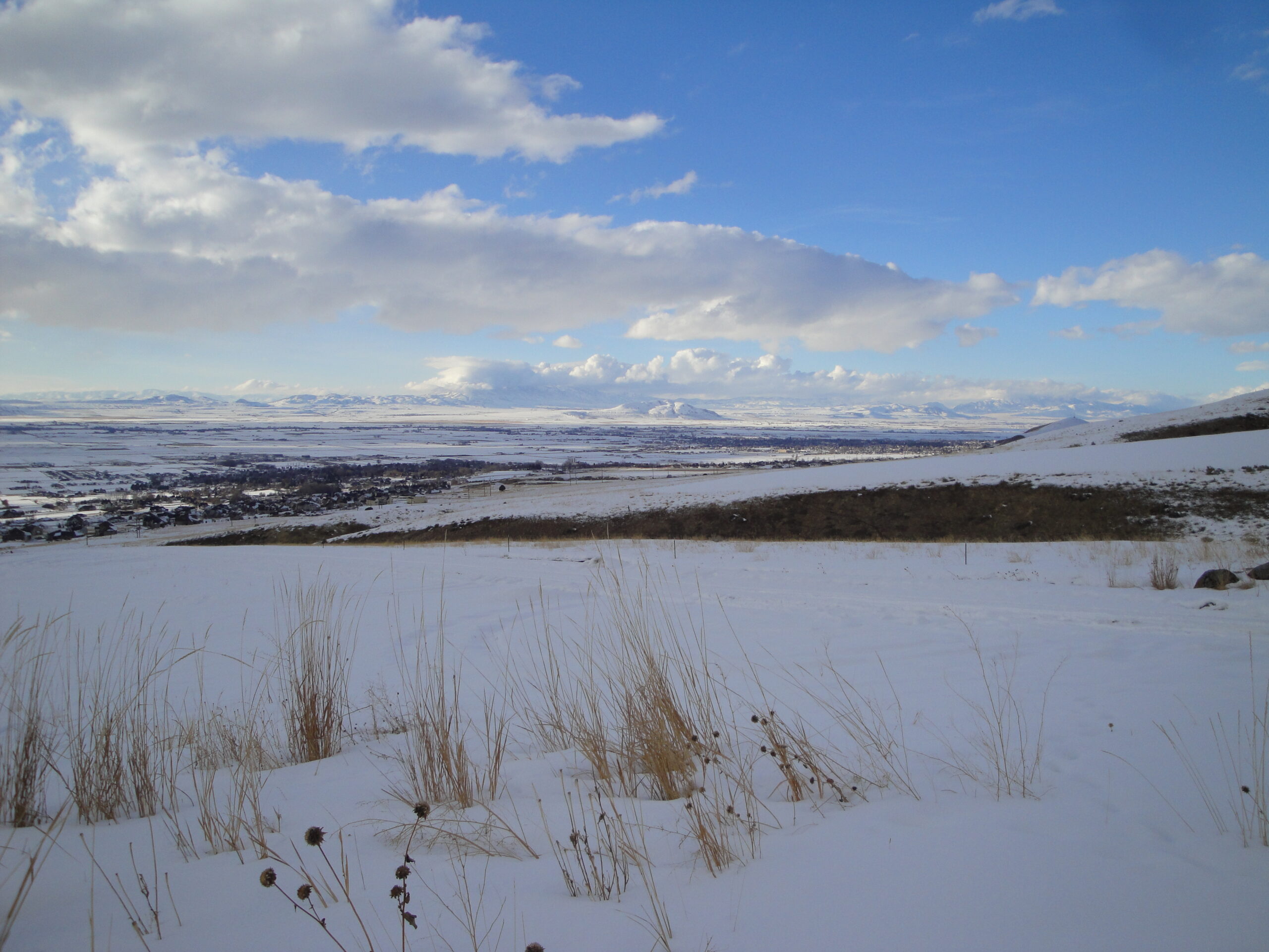
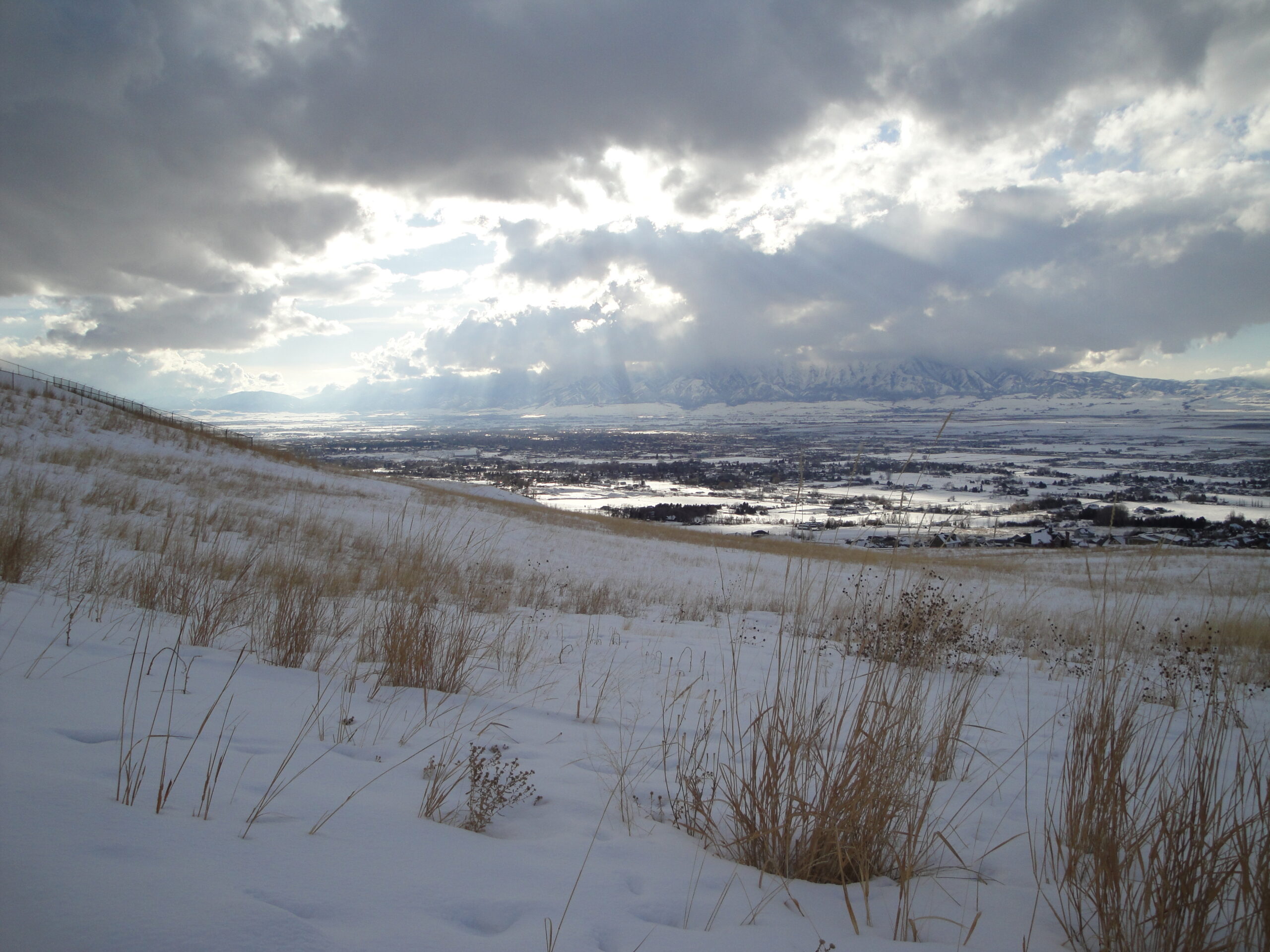
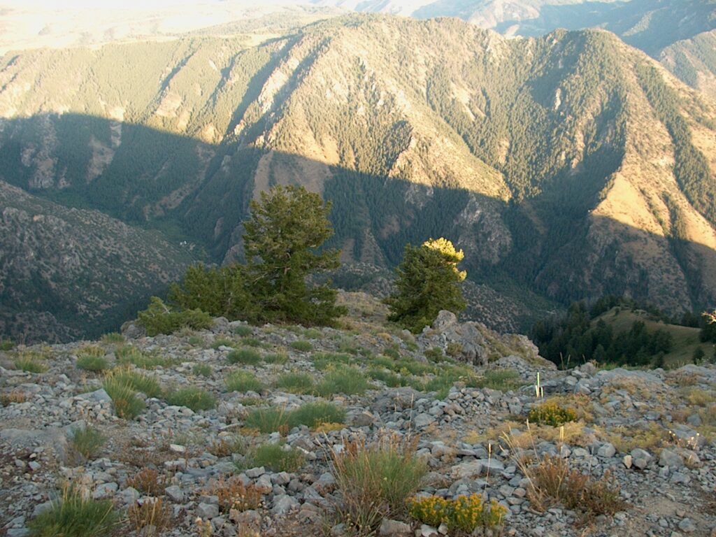
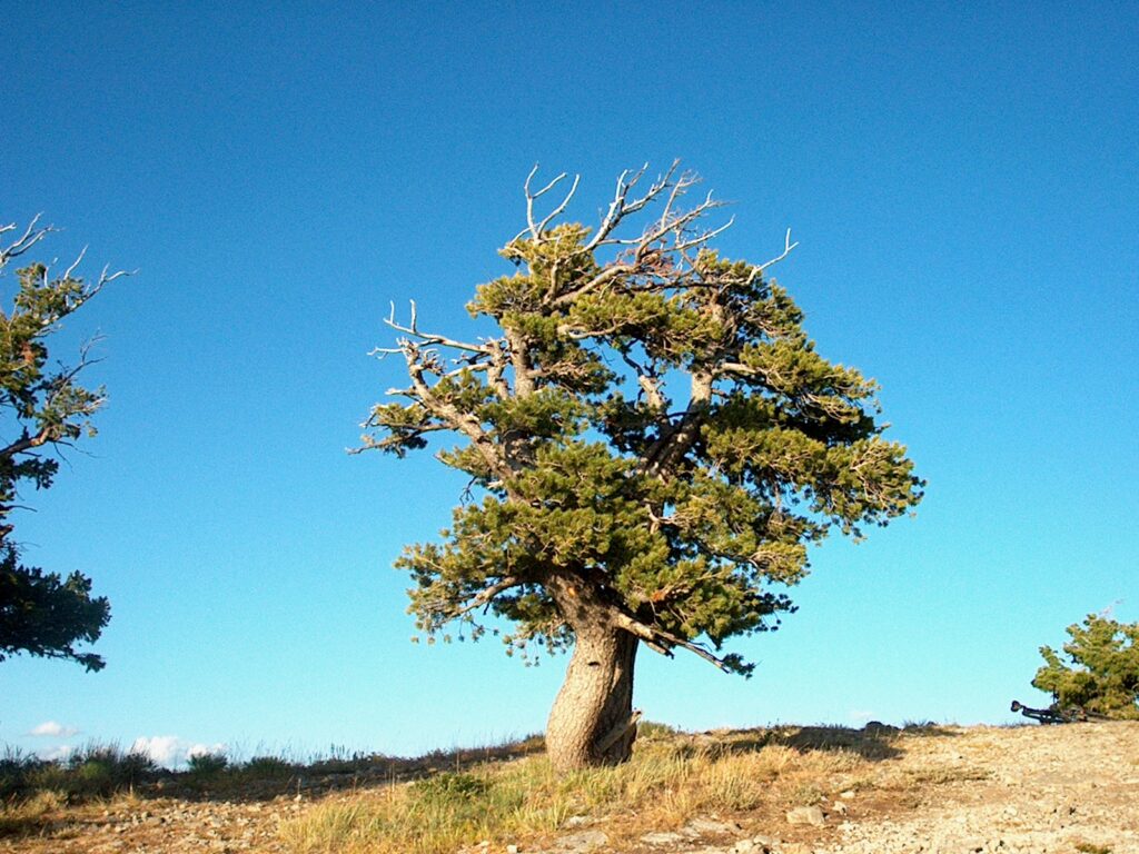
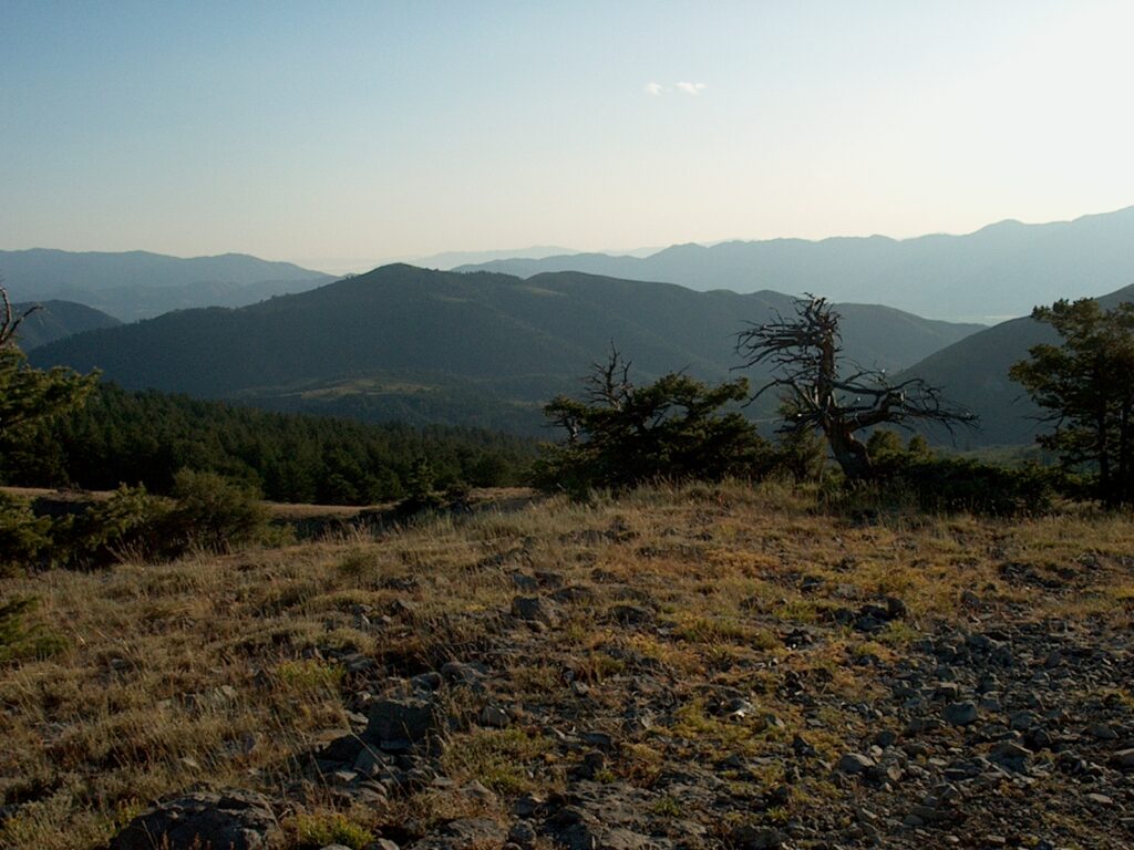
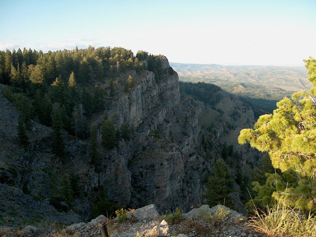
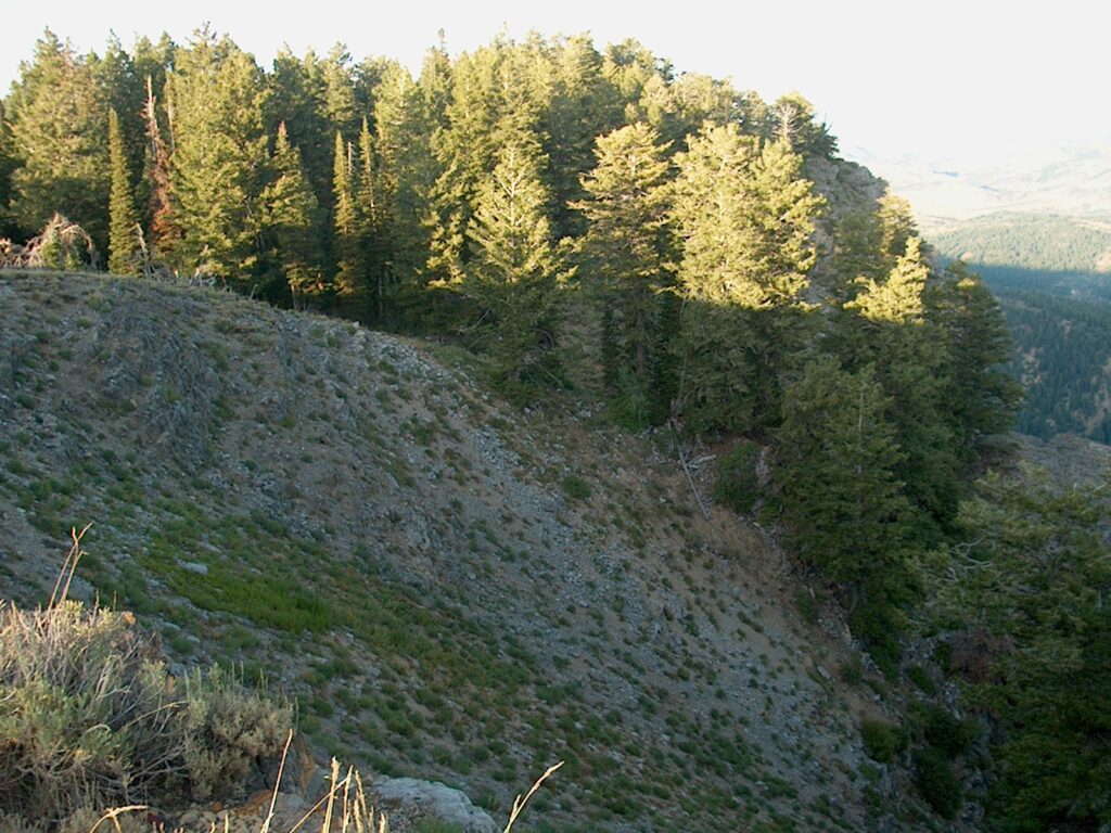
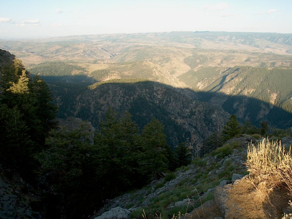
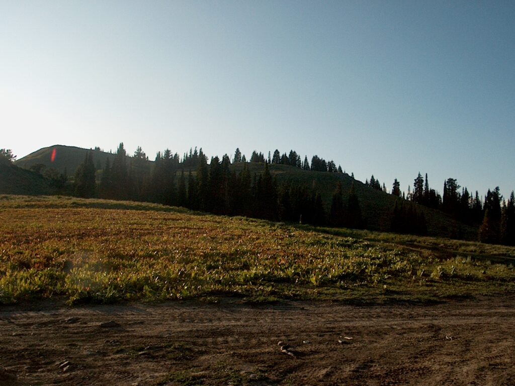
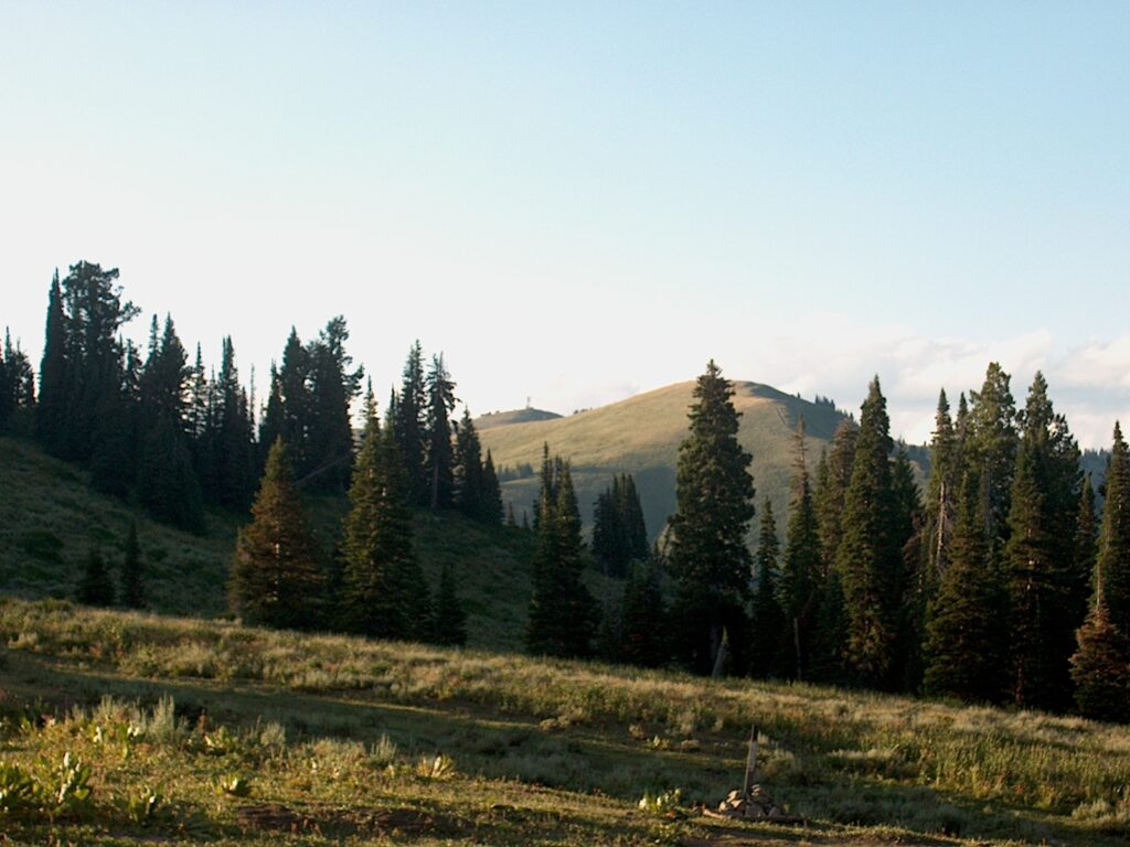
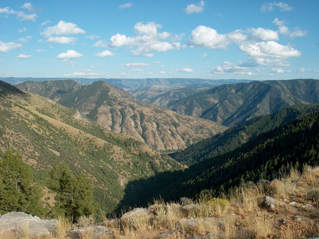
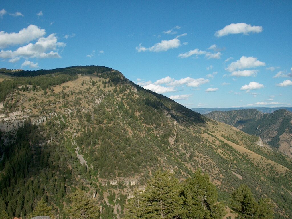
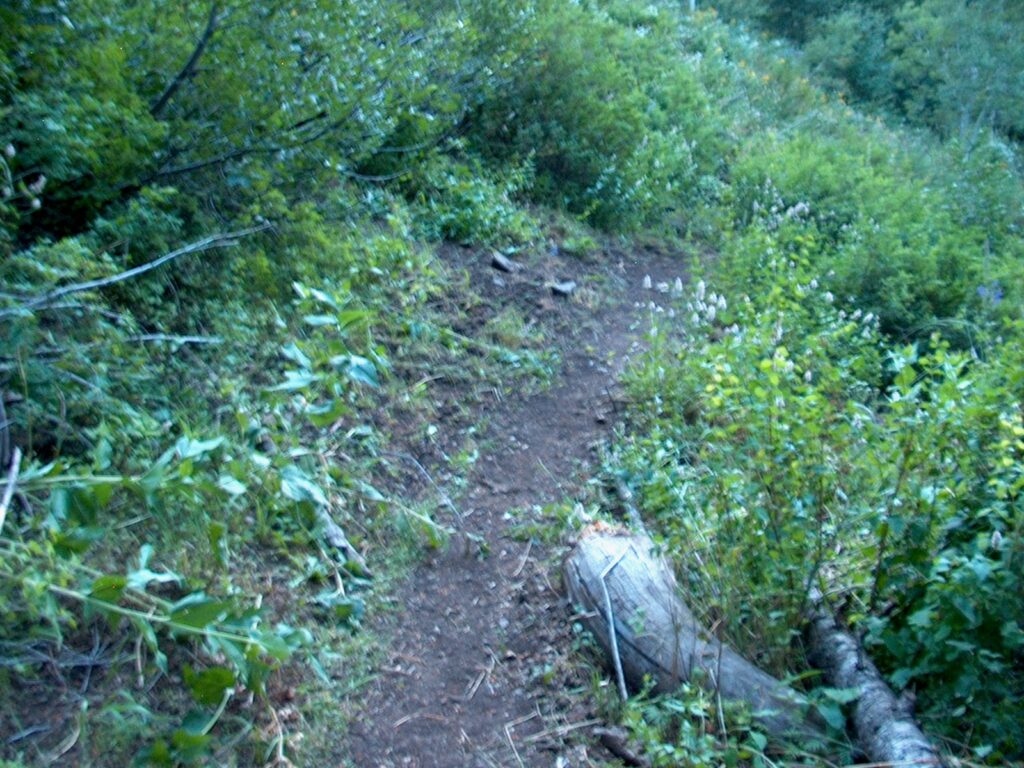
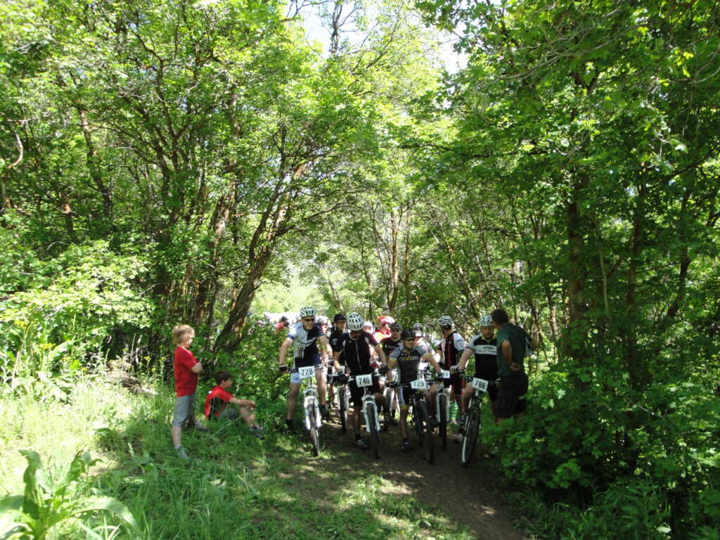
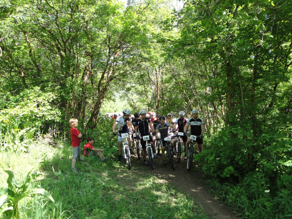
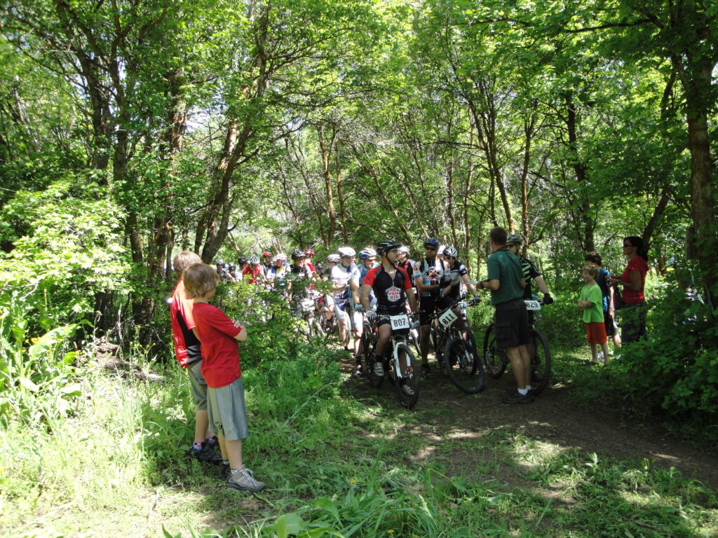
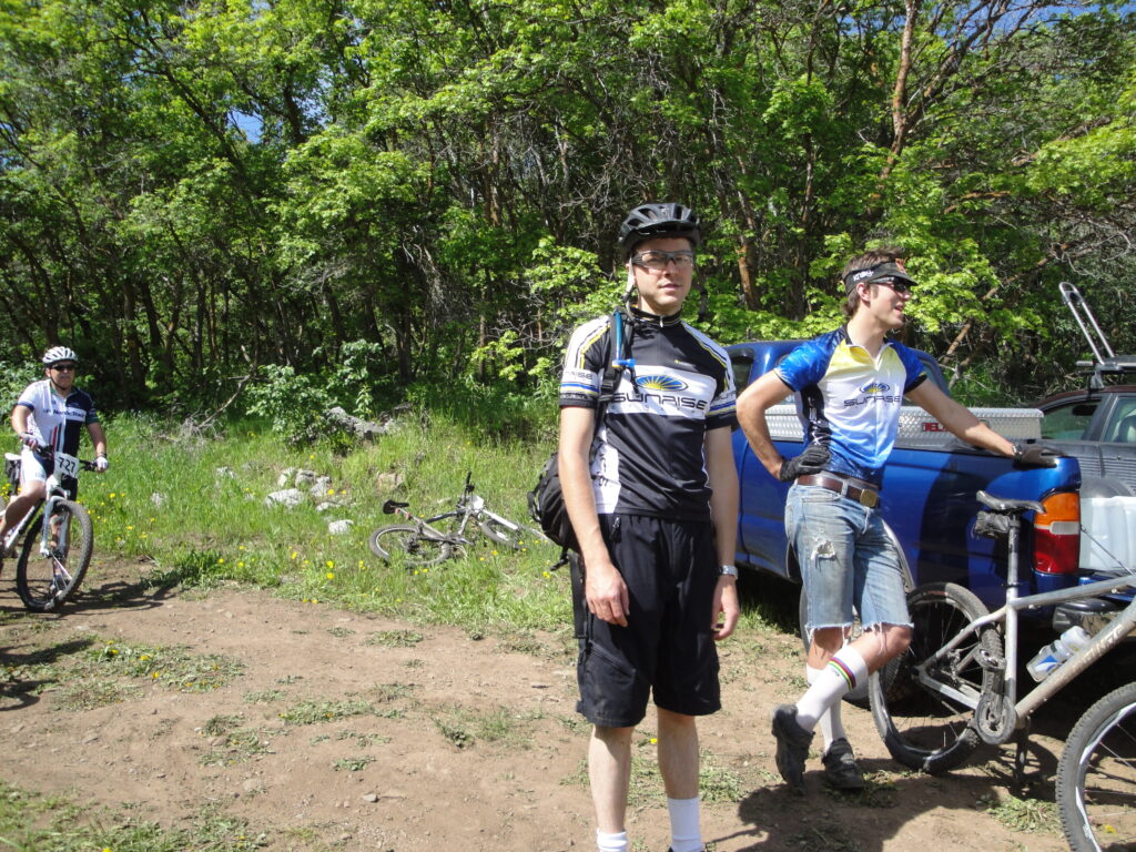
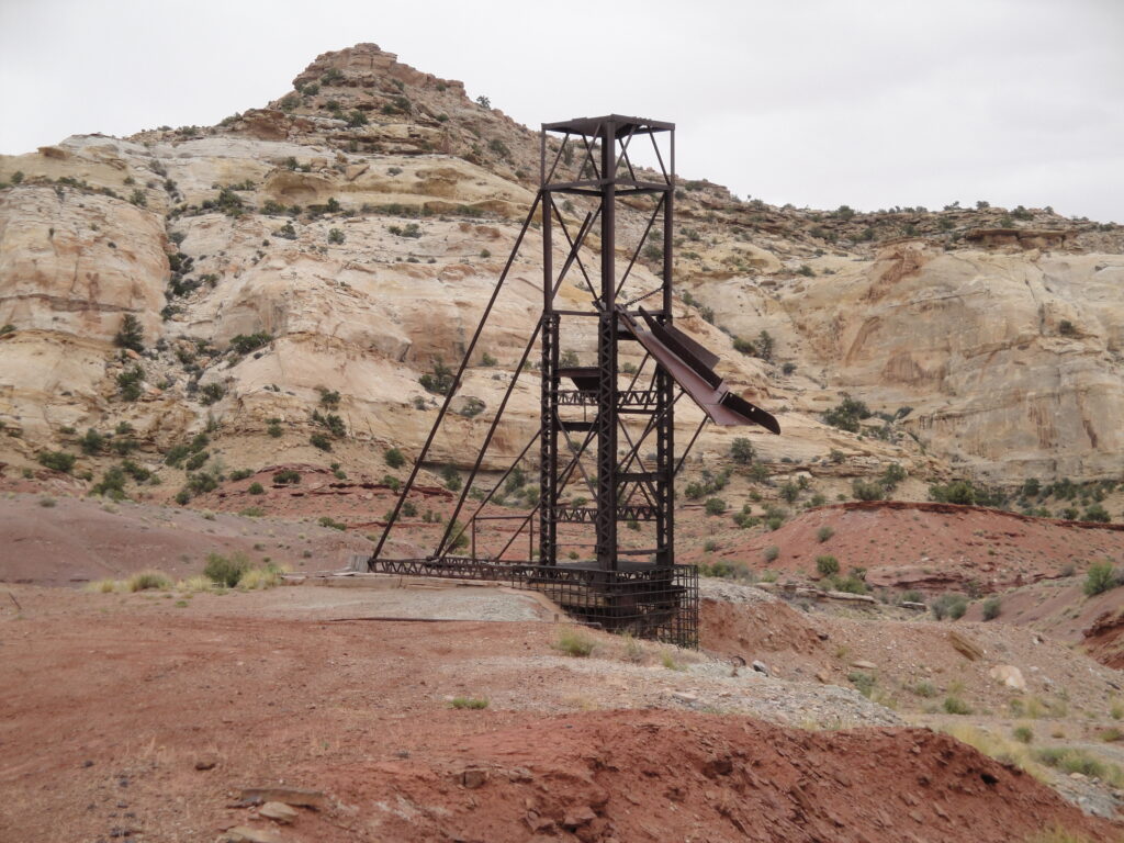
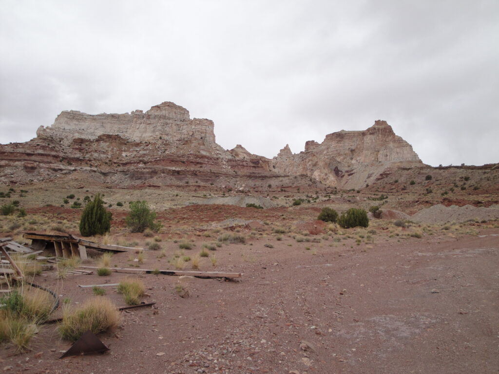
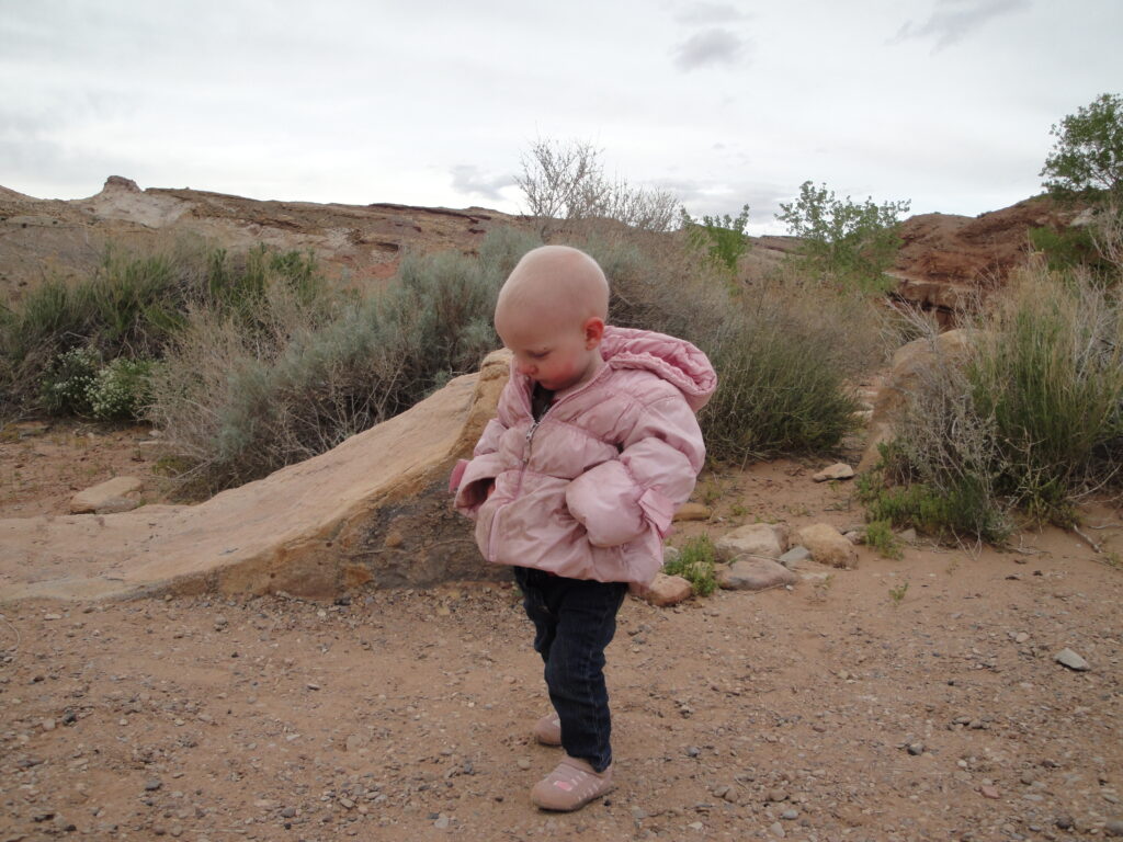
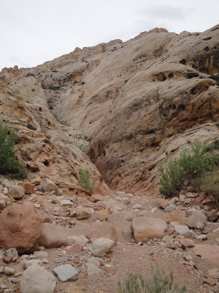
With the change I’ve had to add pictures to the blog on the individual entries. I may have missed a few and so here is a large gallery of everything.
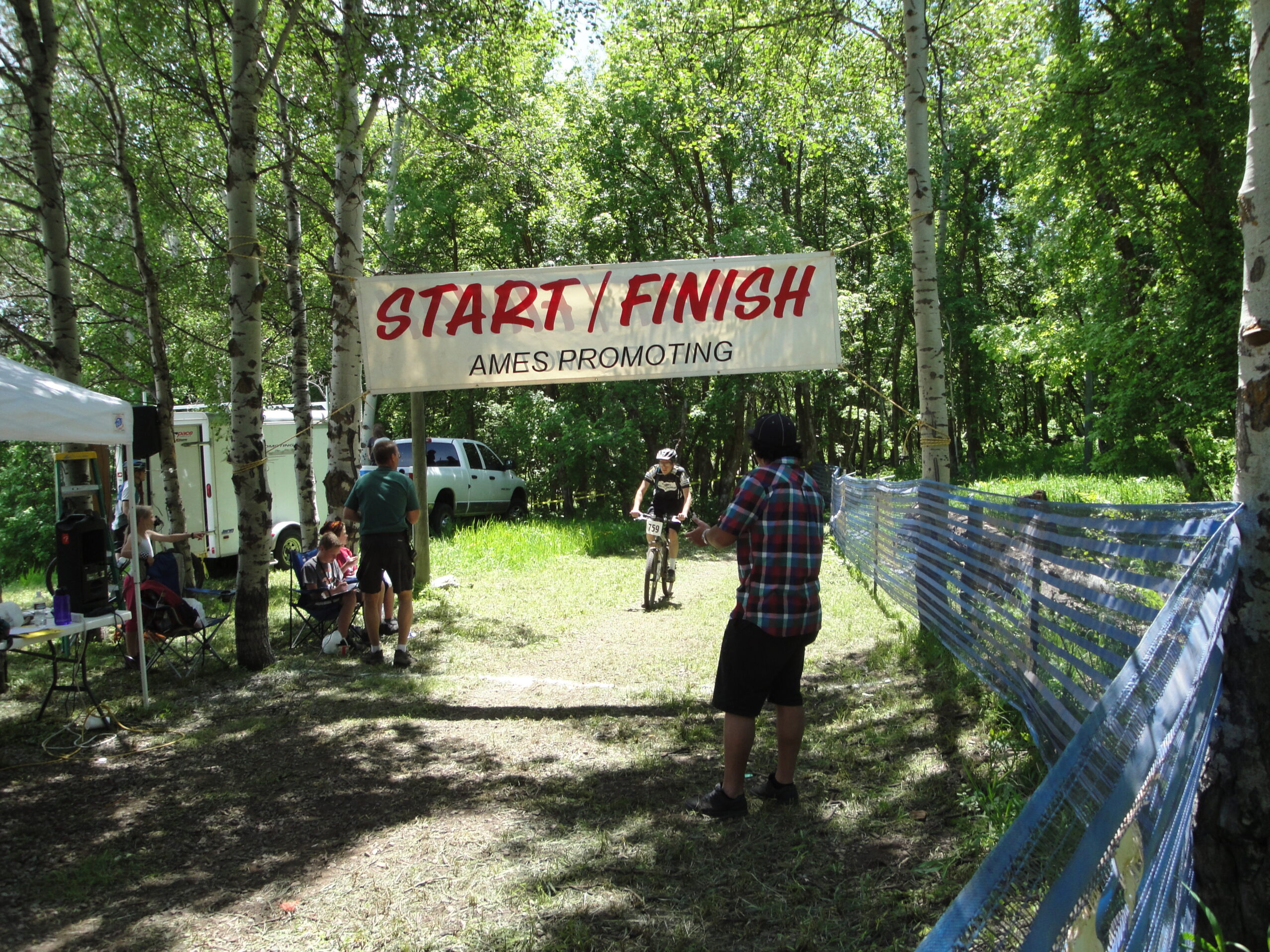
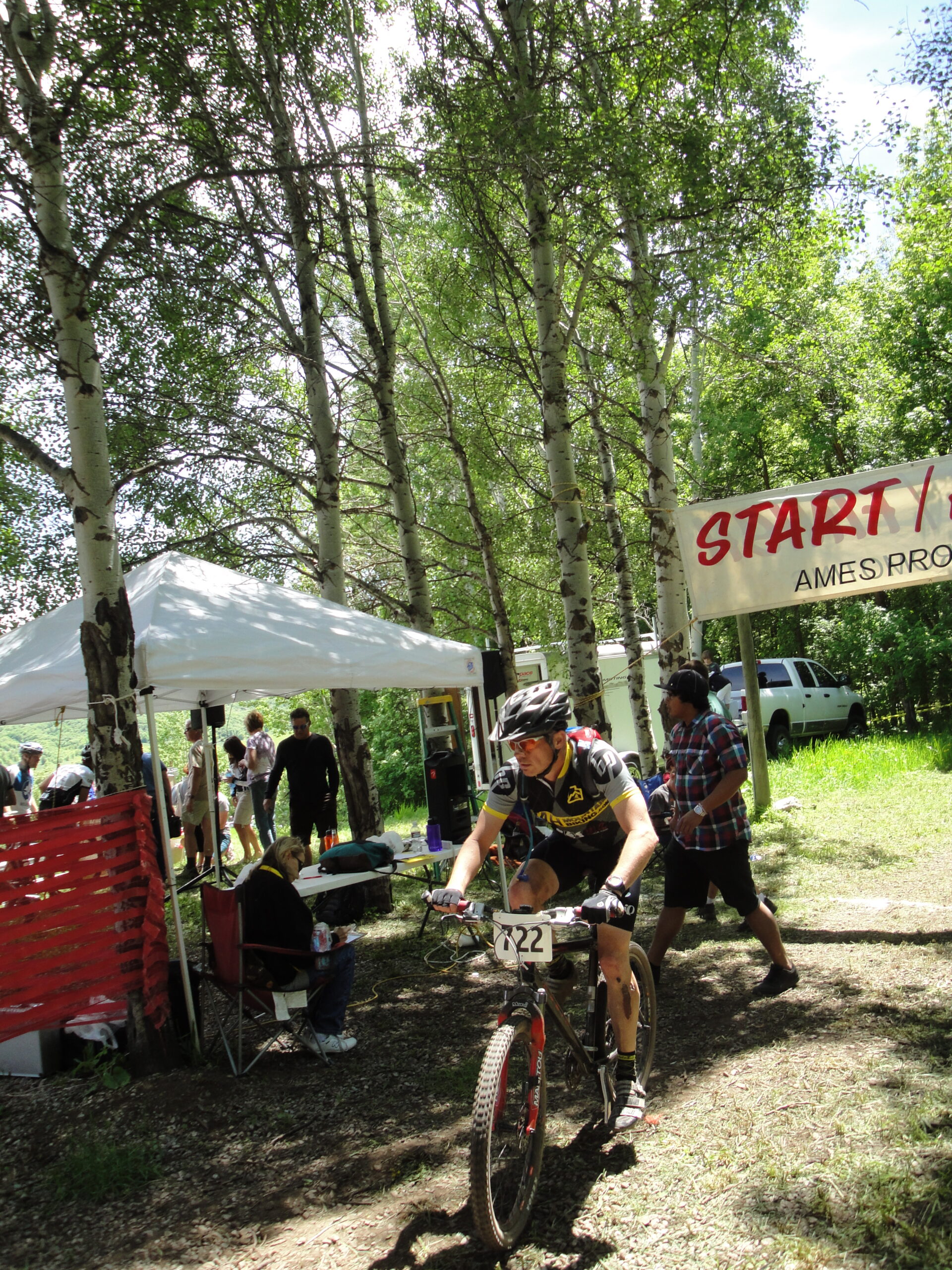
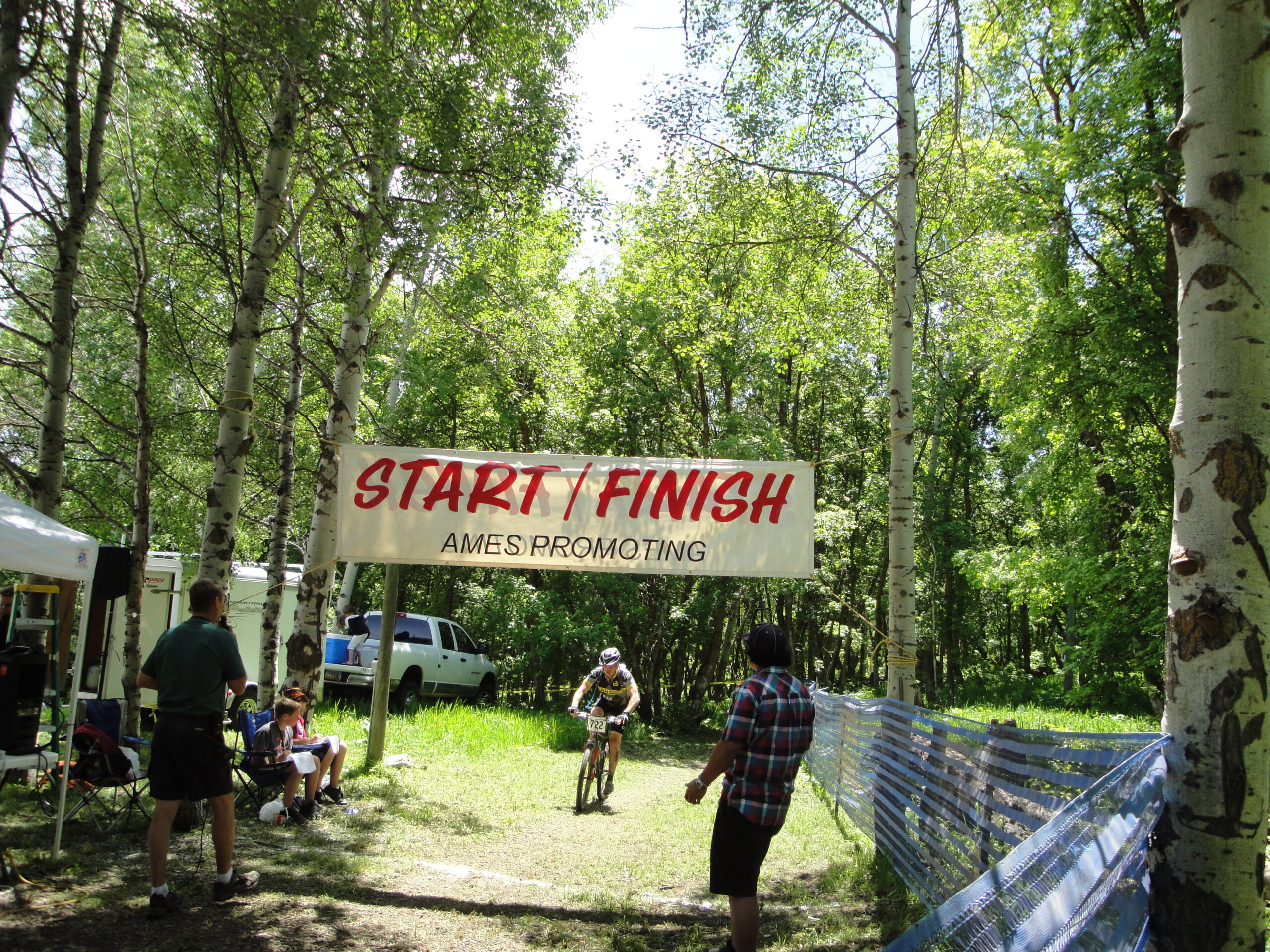
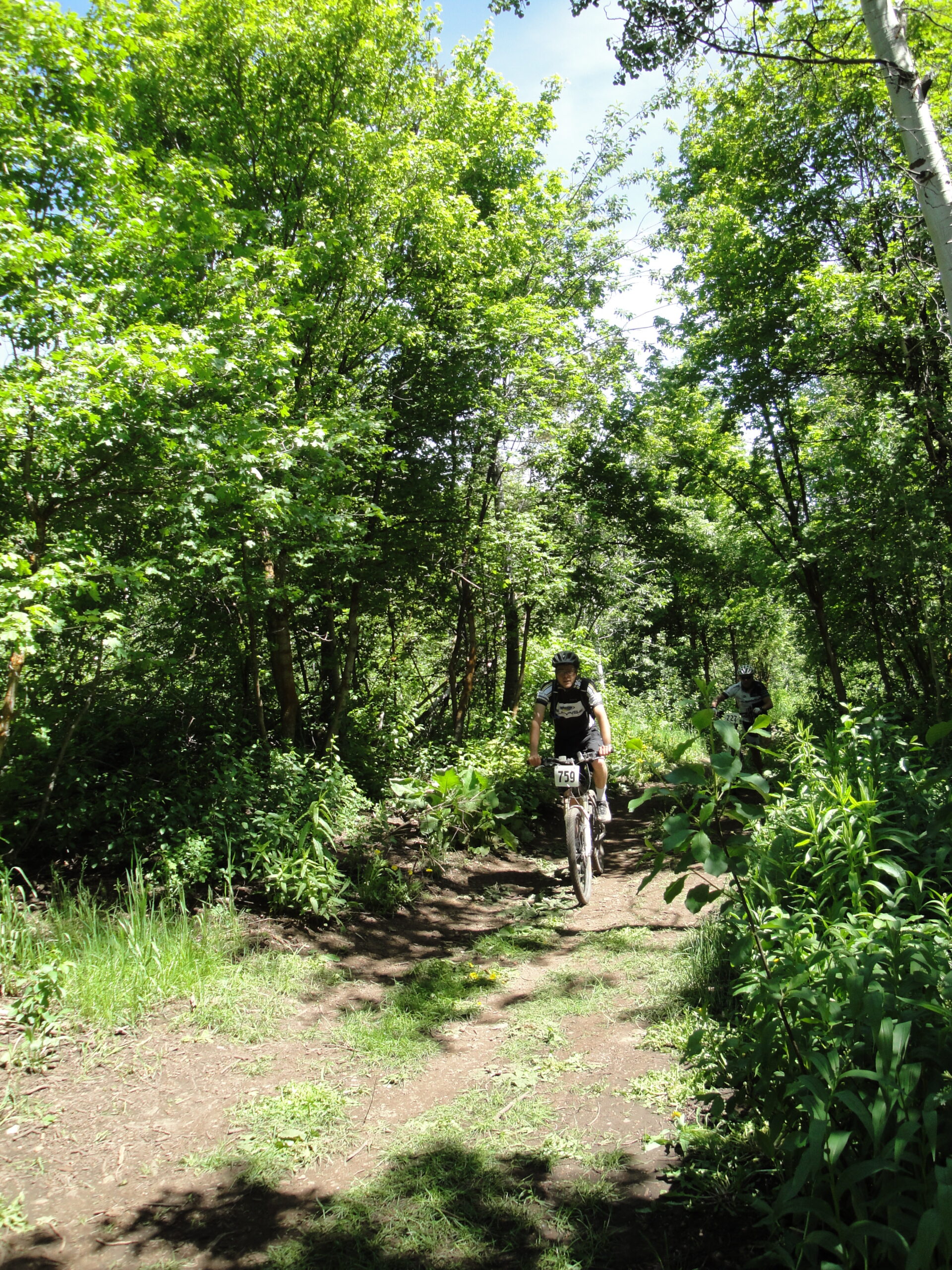
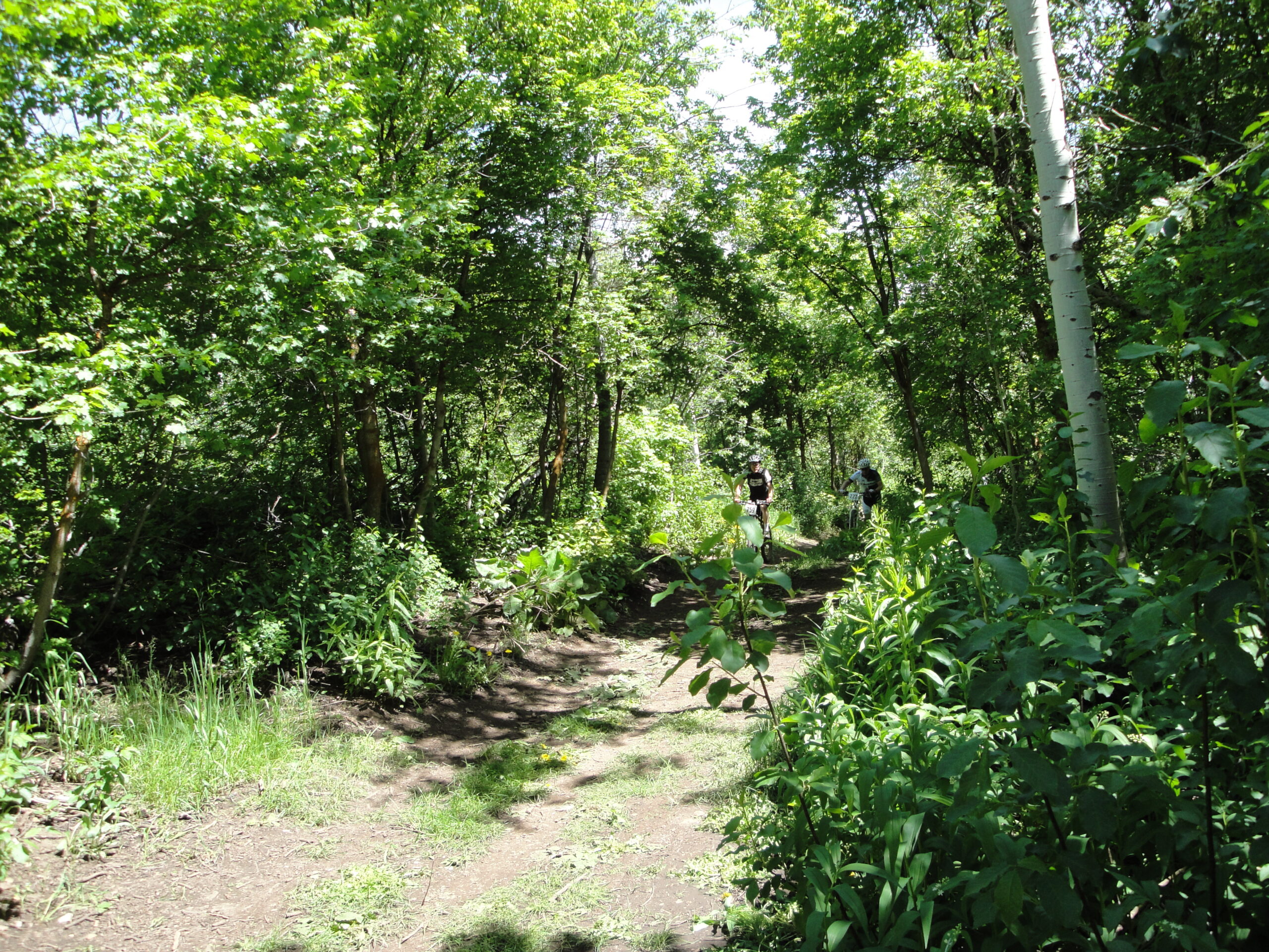
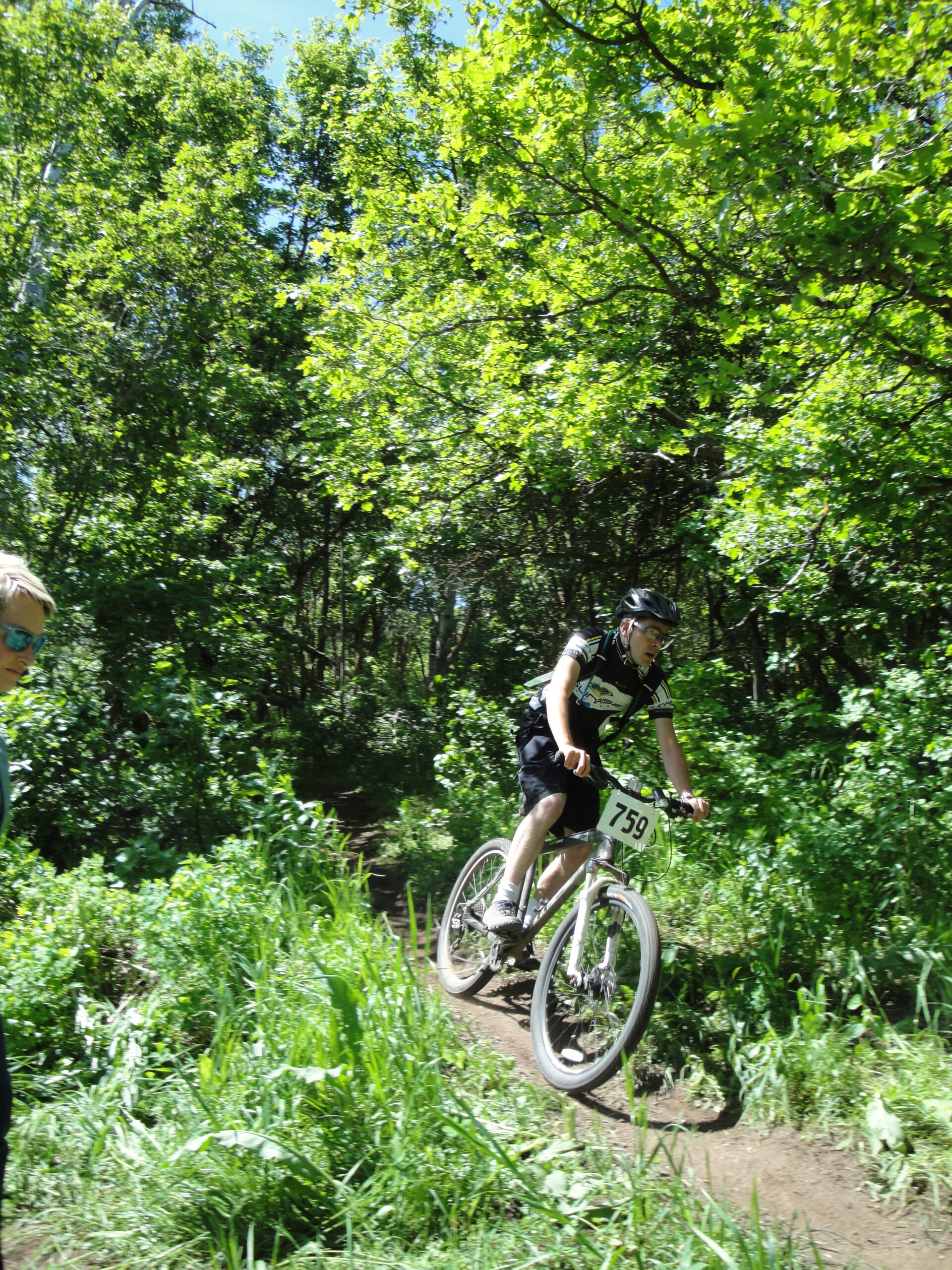
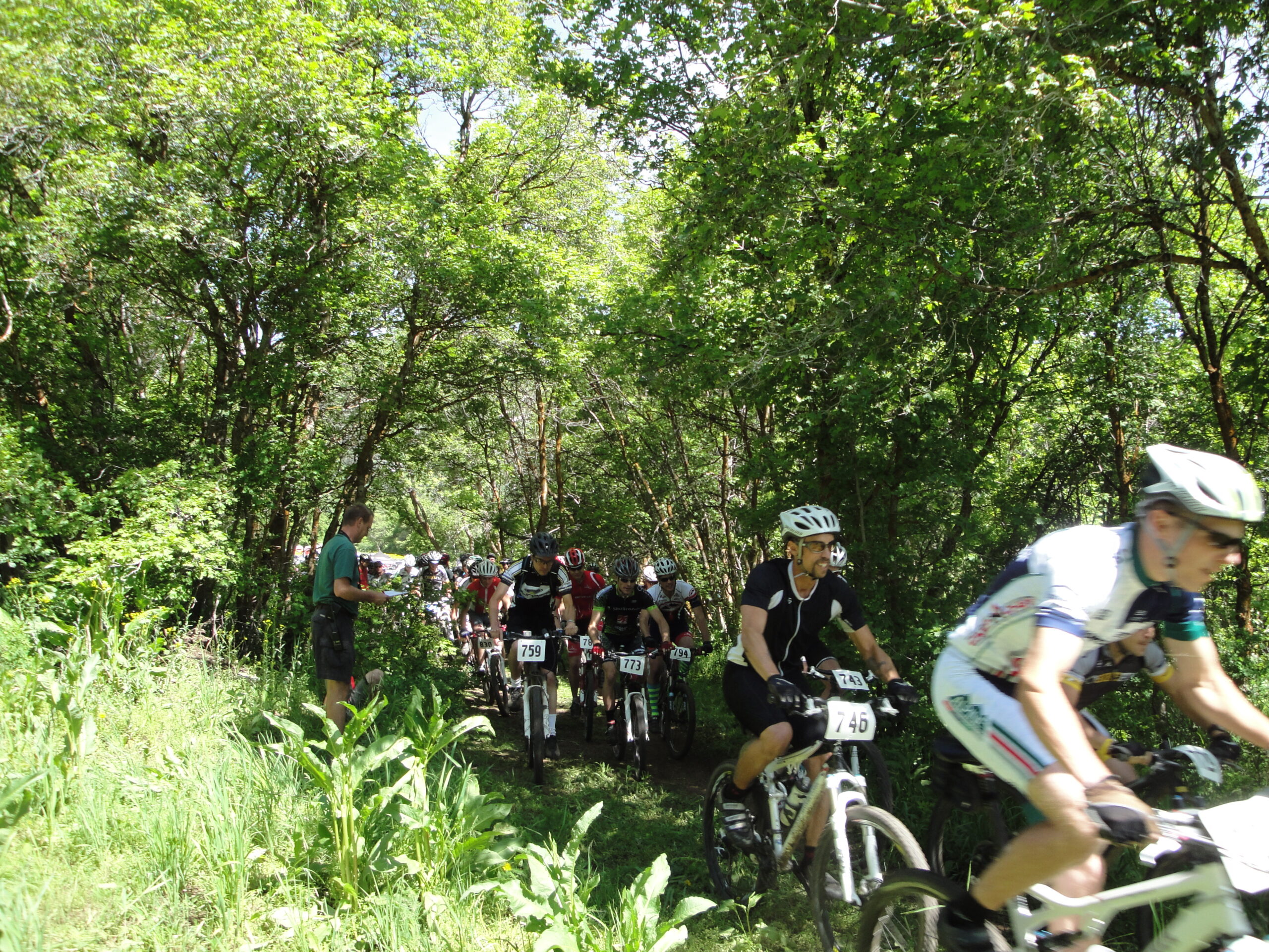
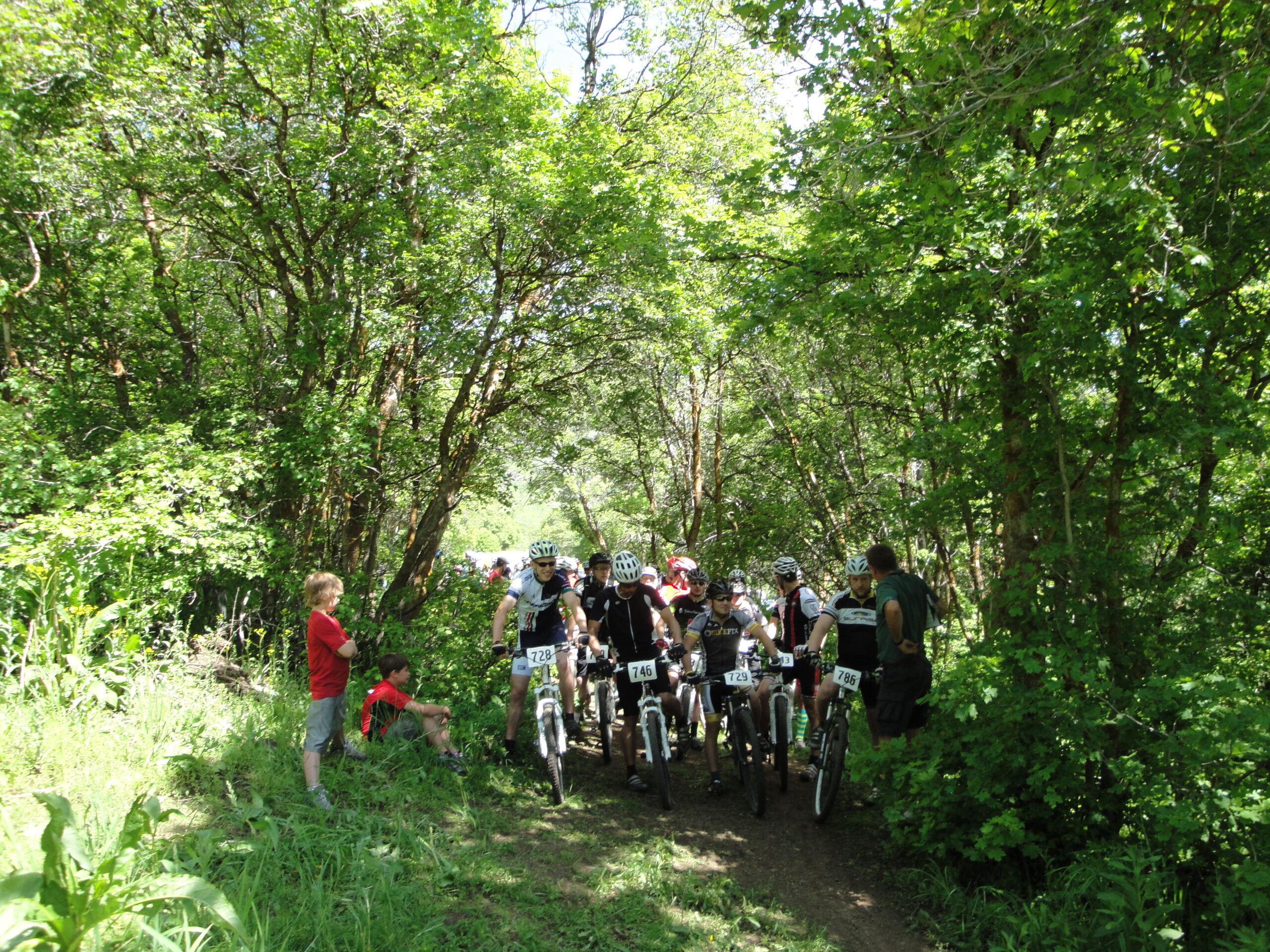
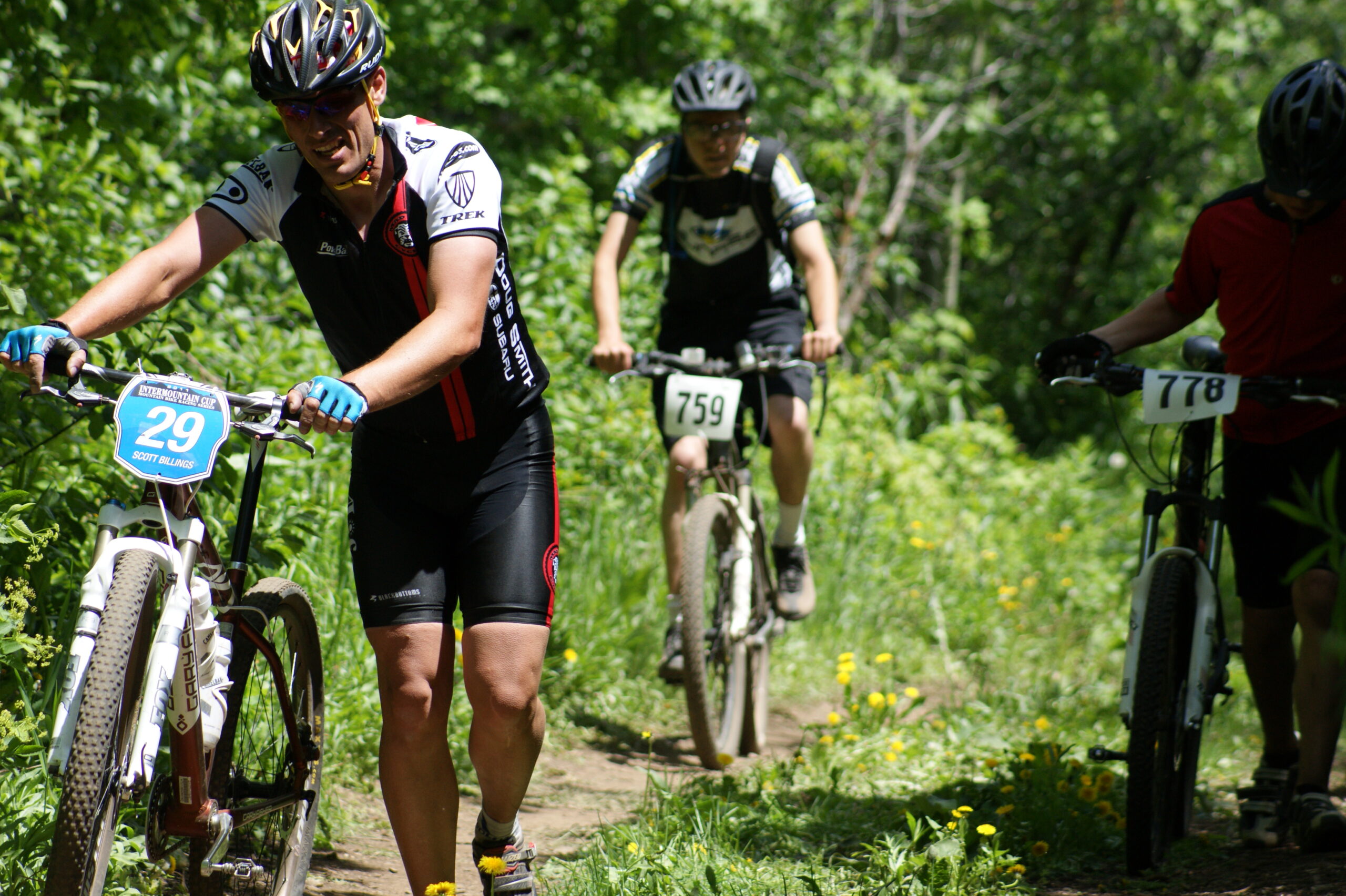
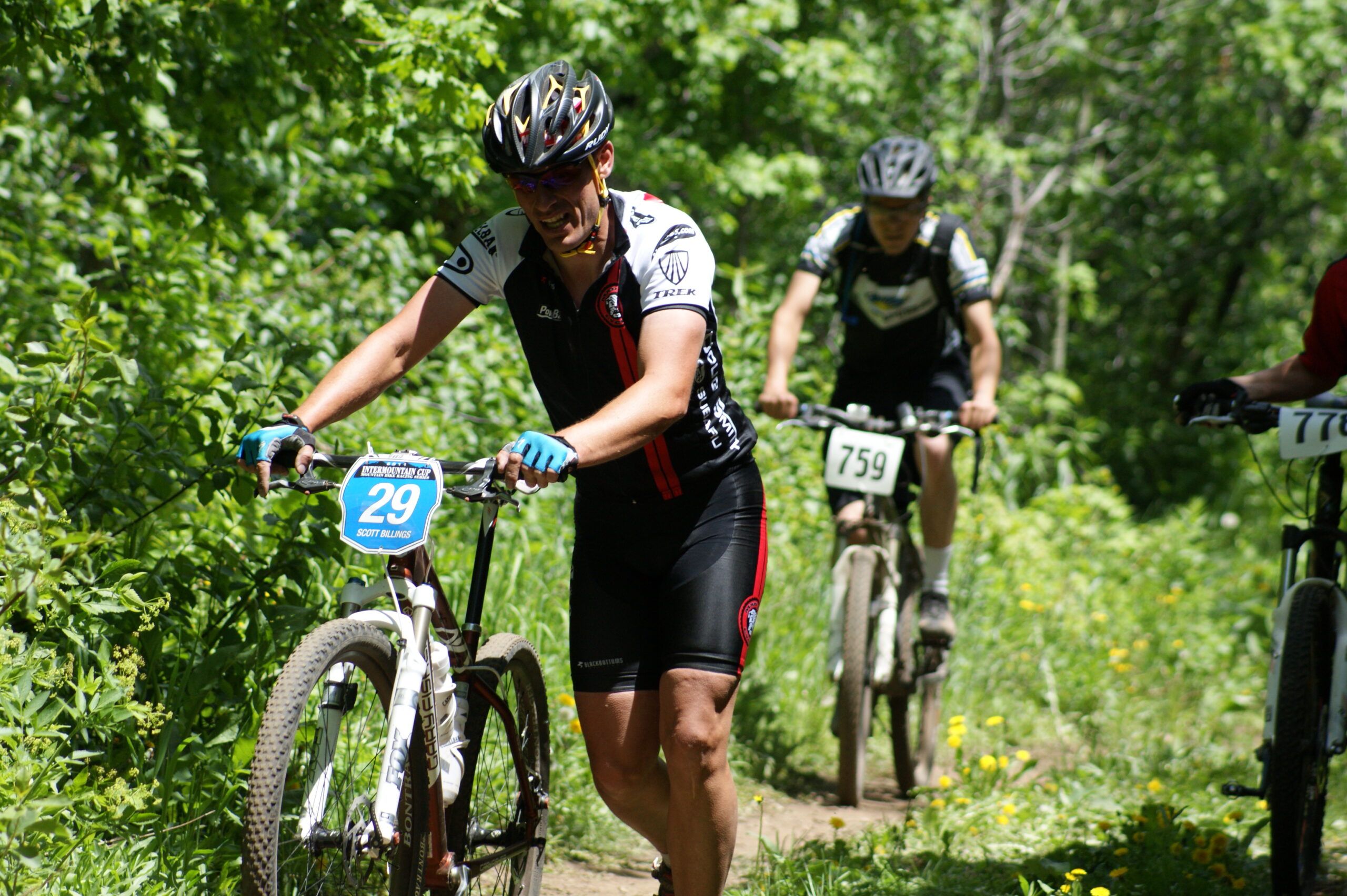
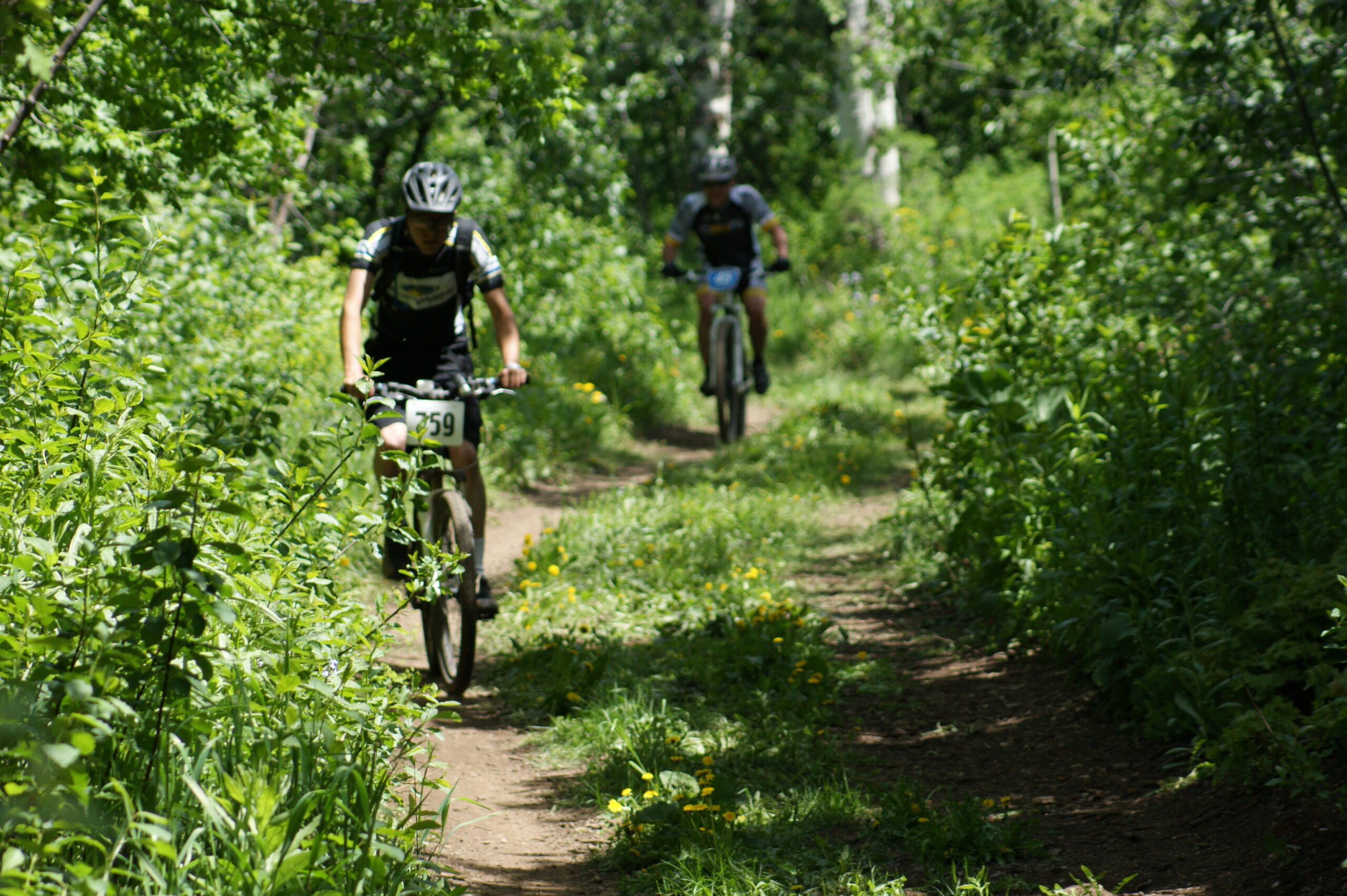
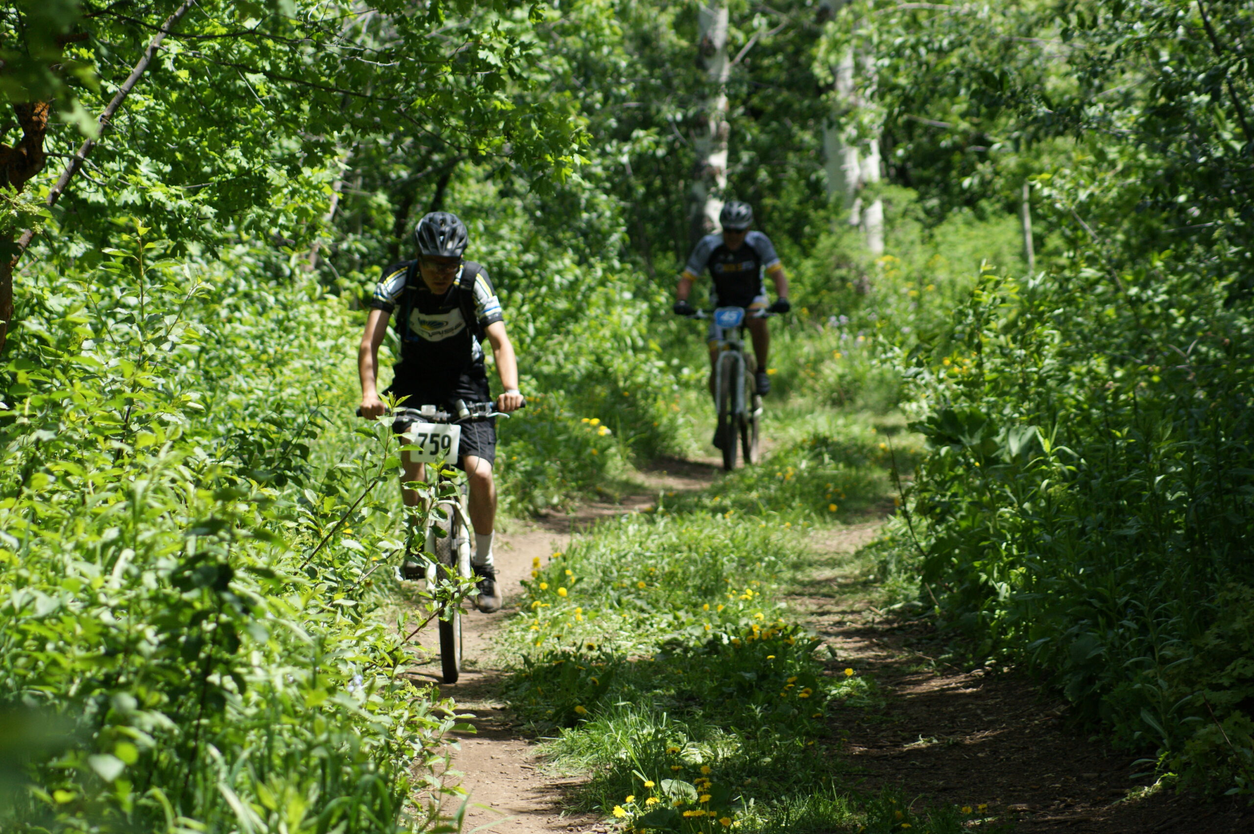
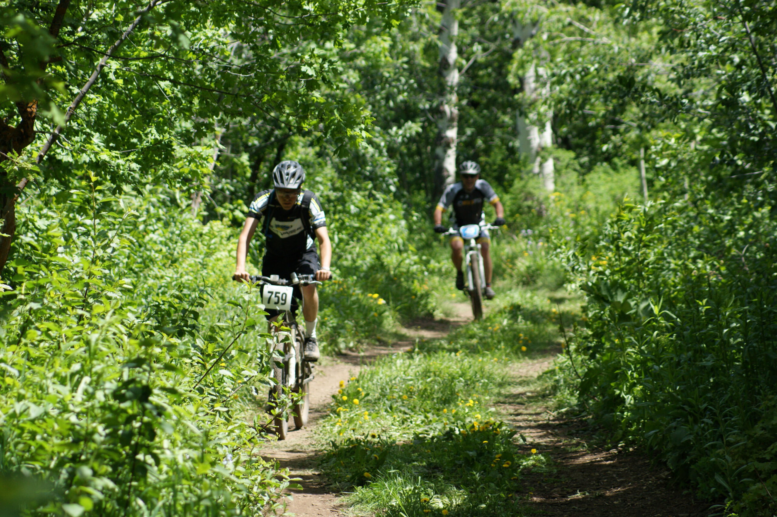
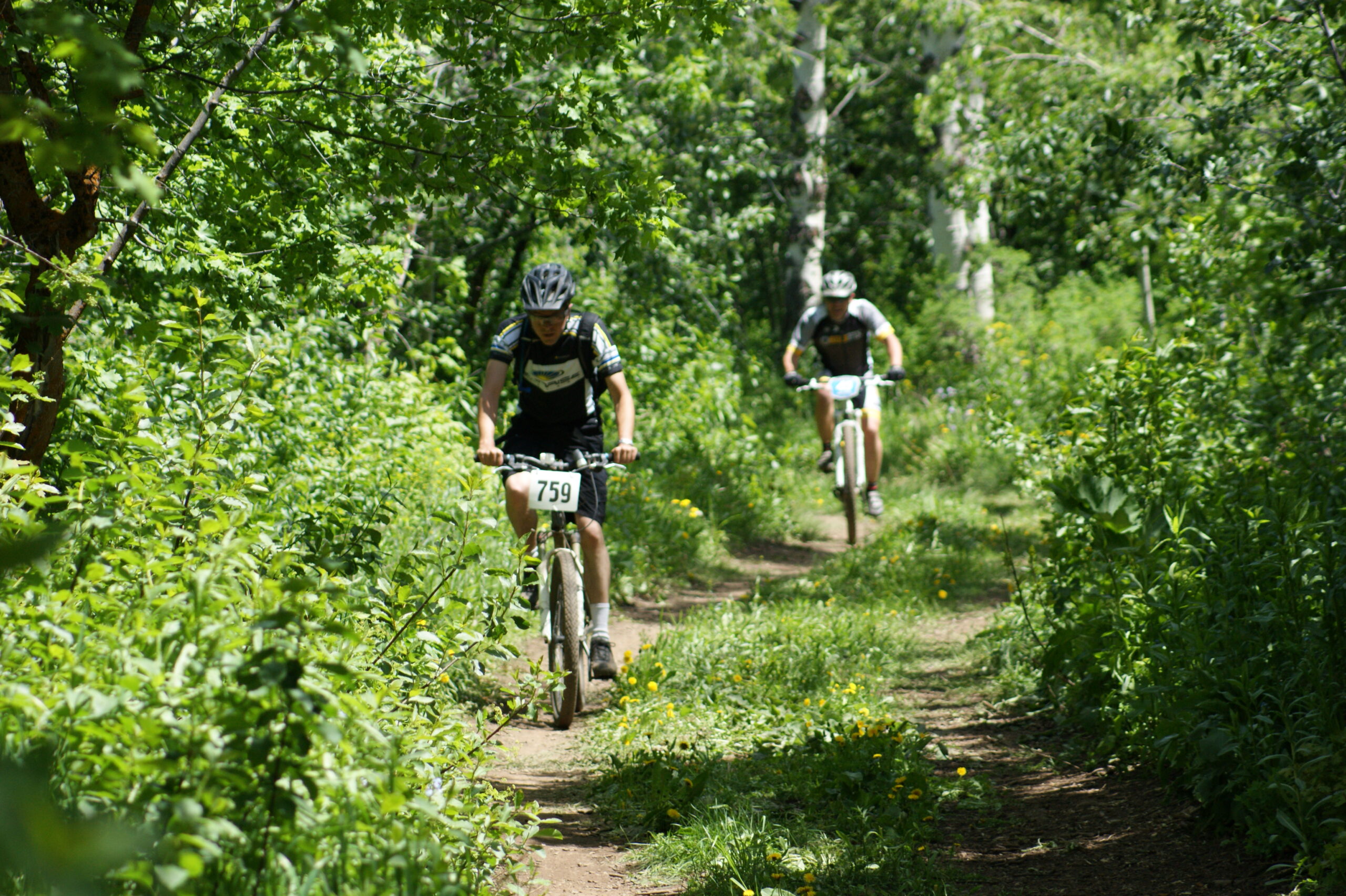
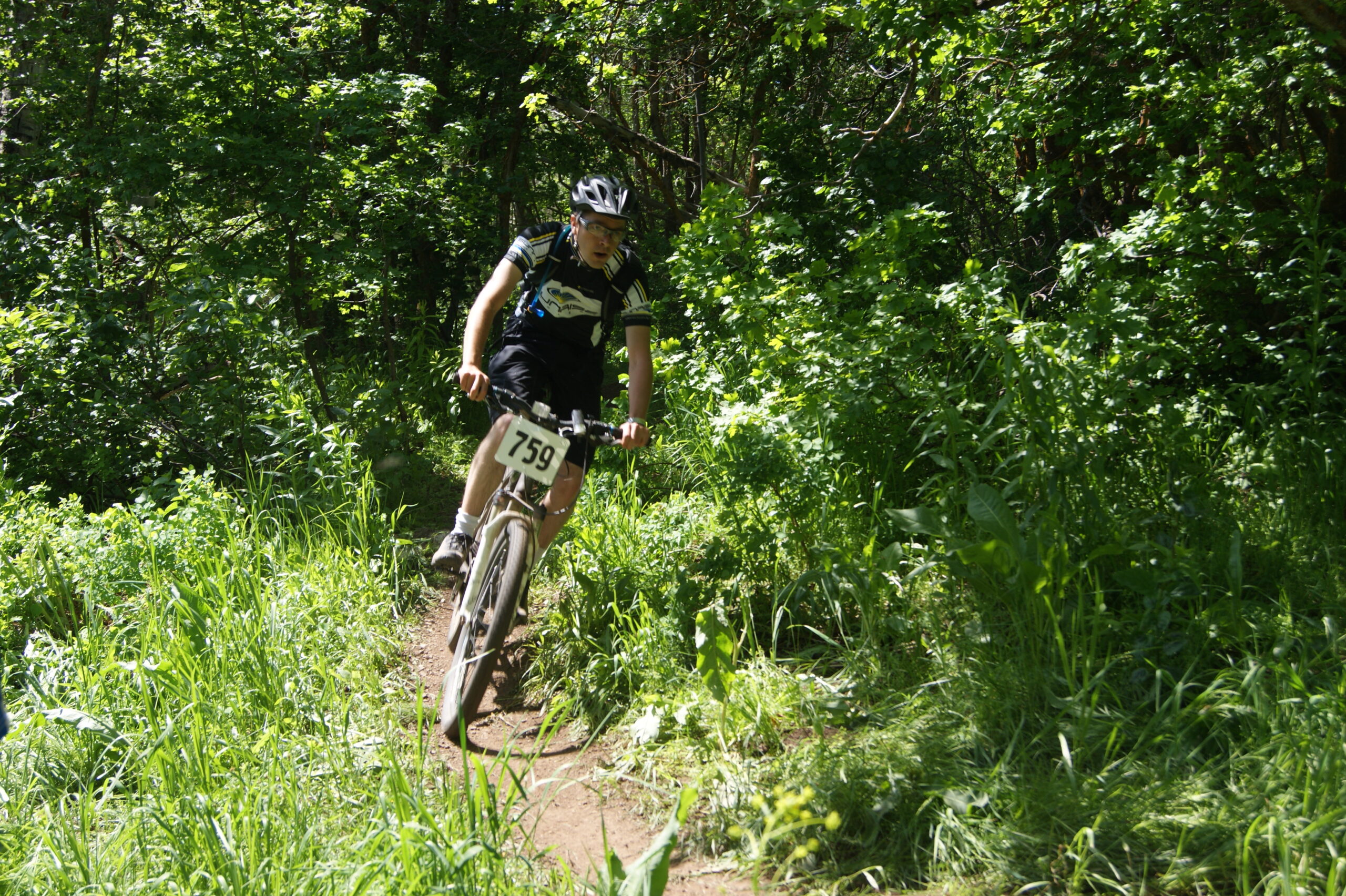
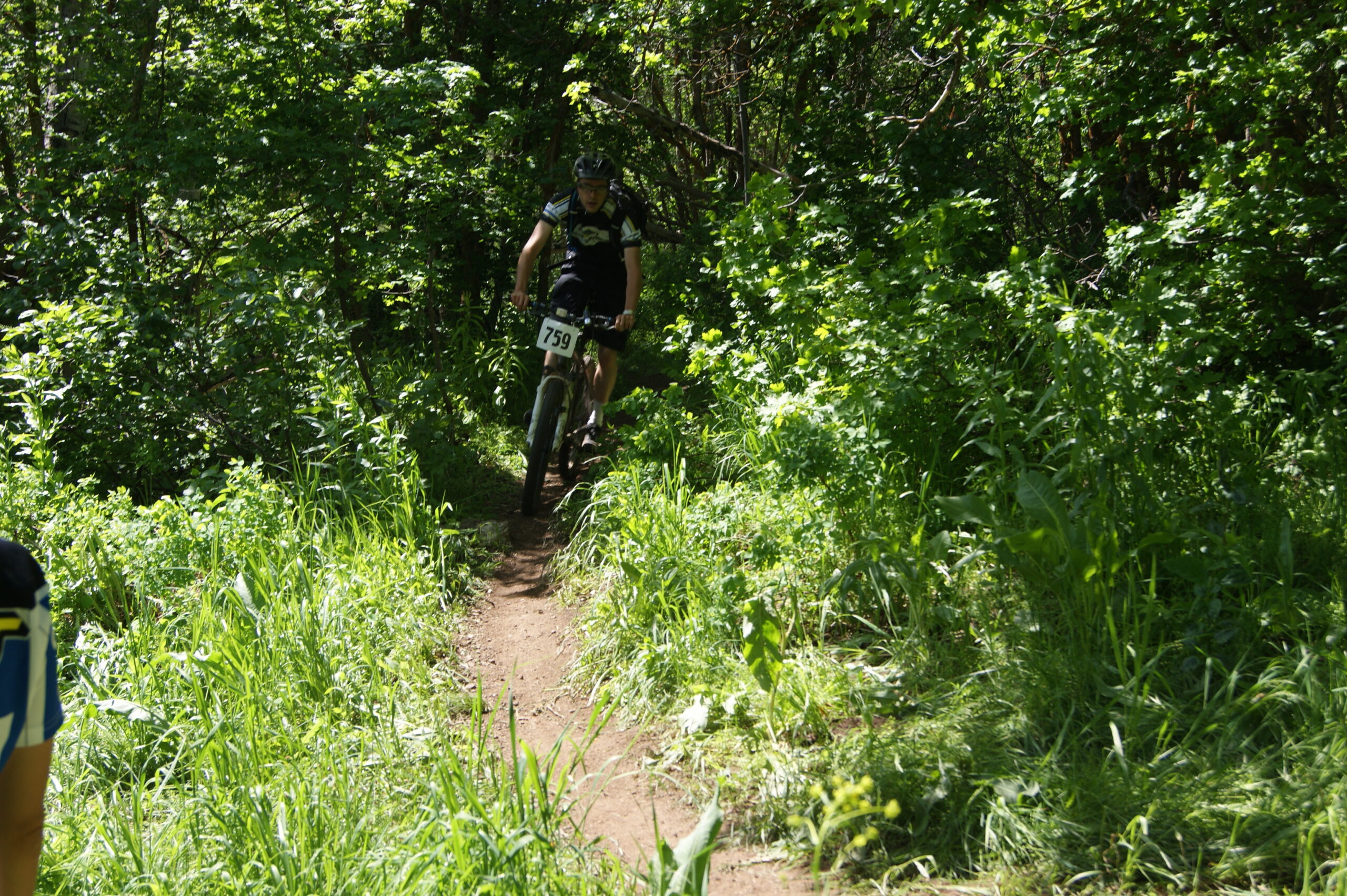
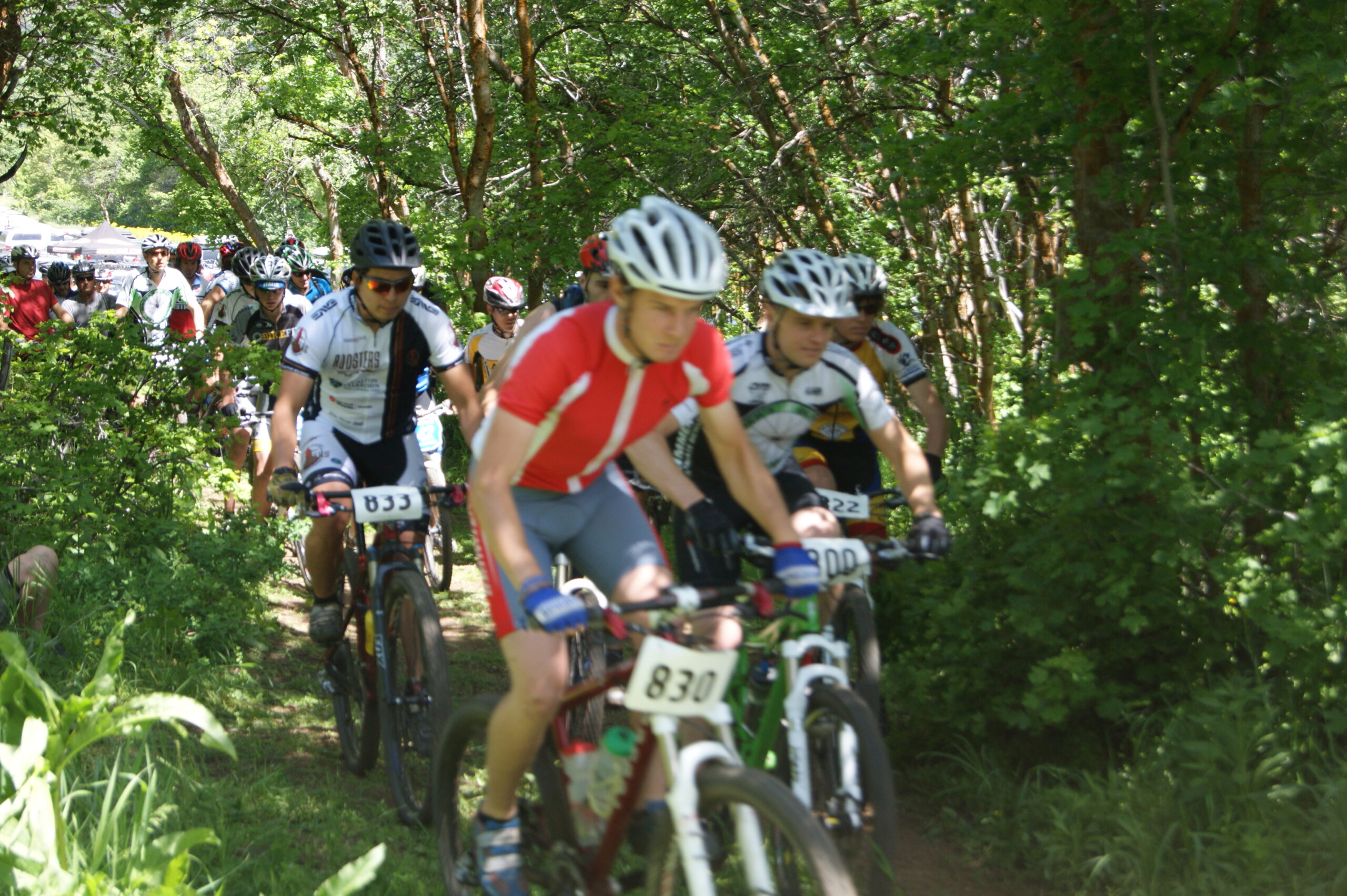
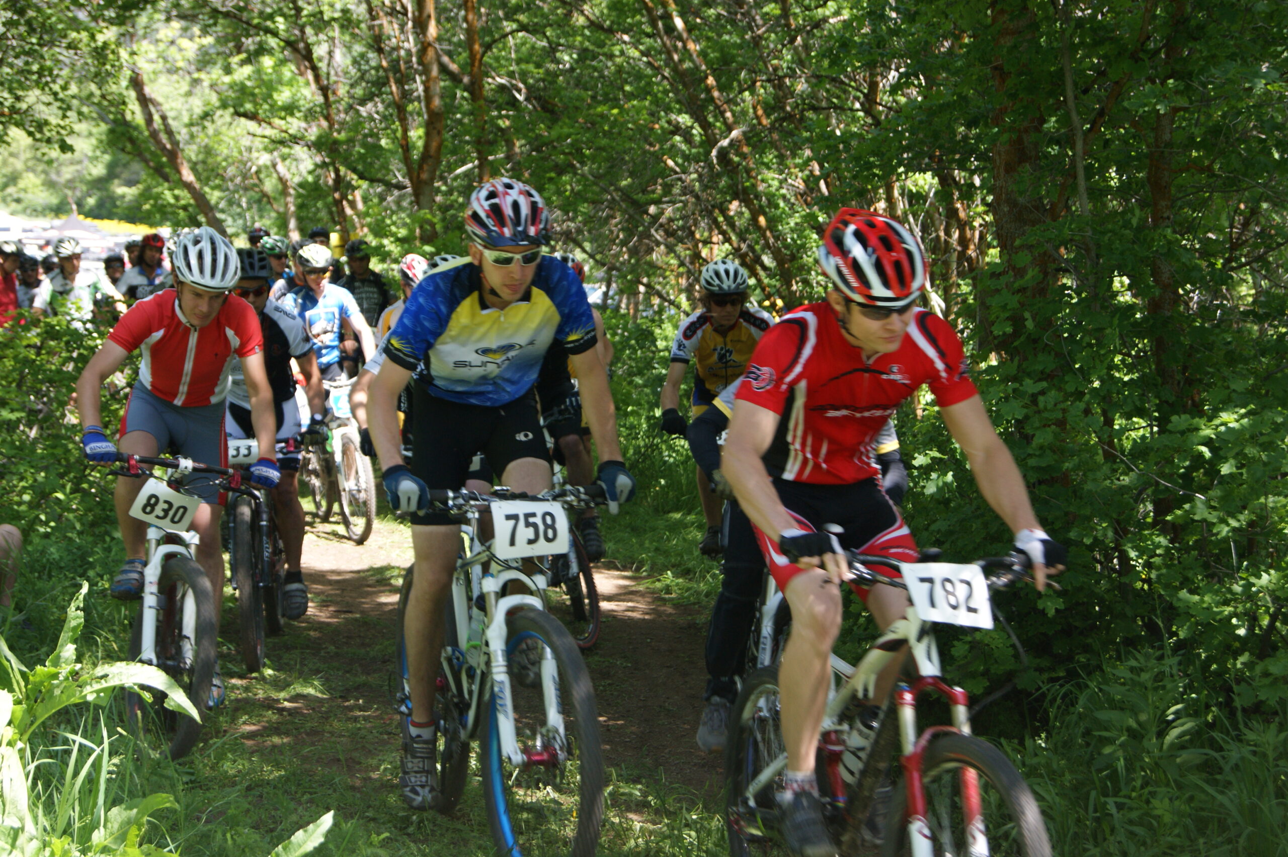
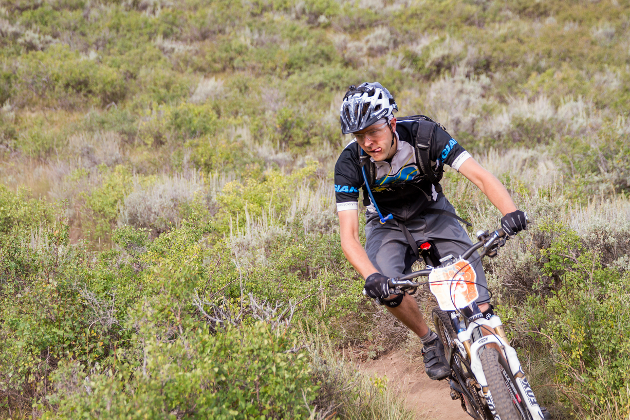
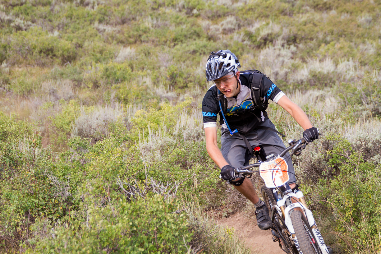
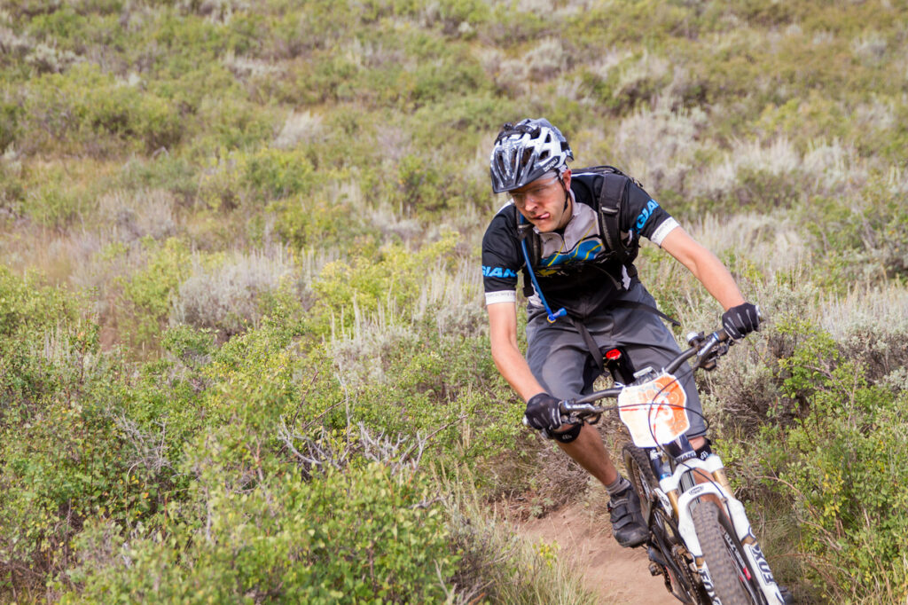
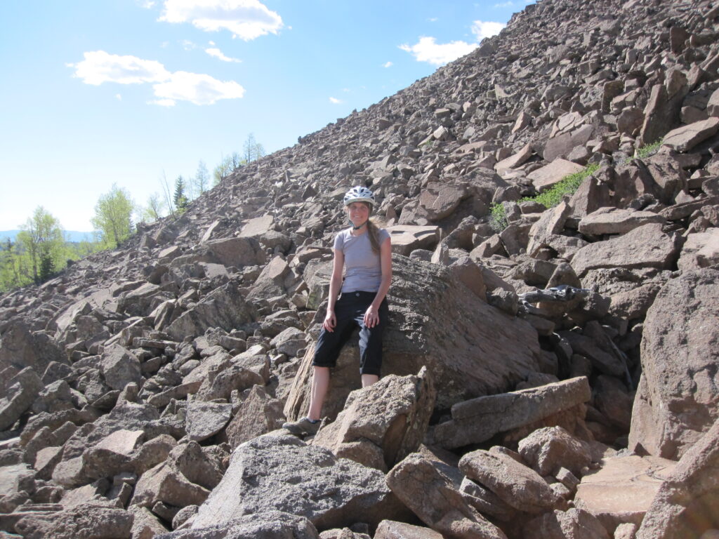
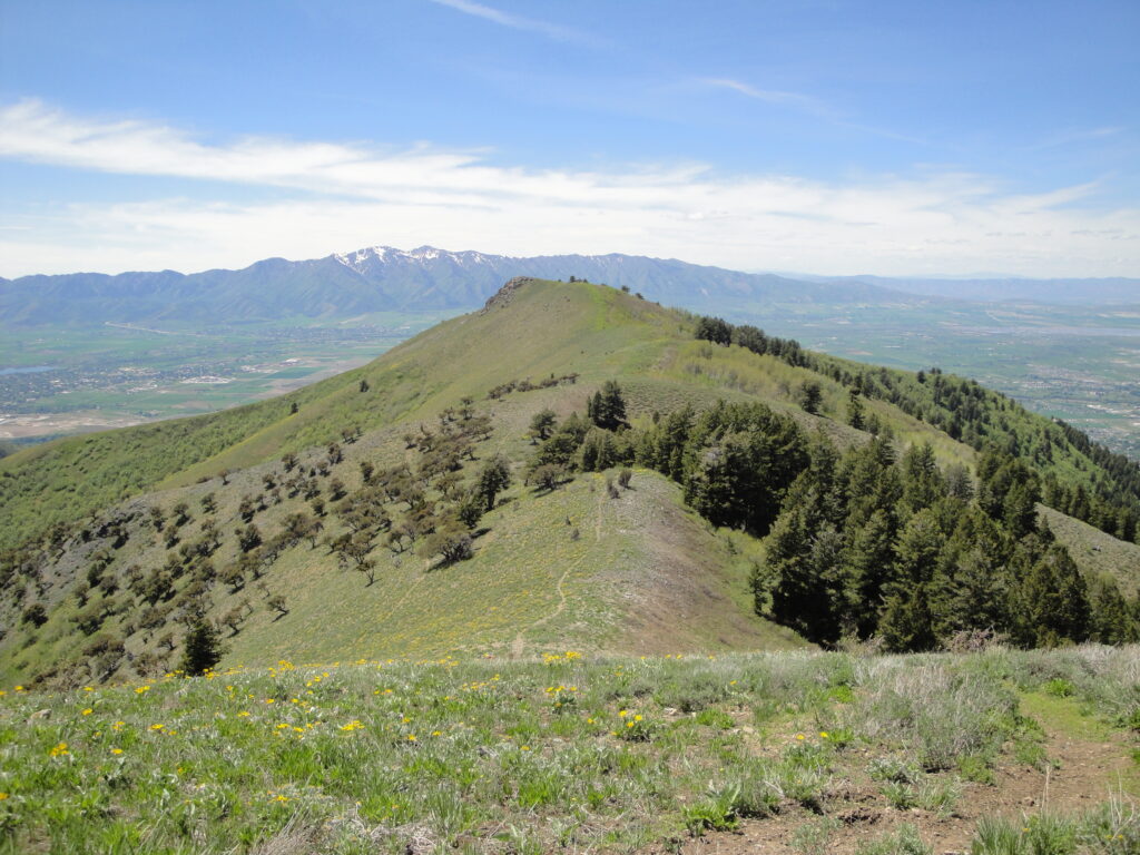
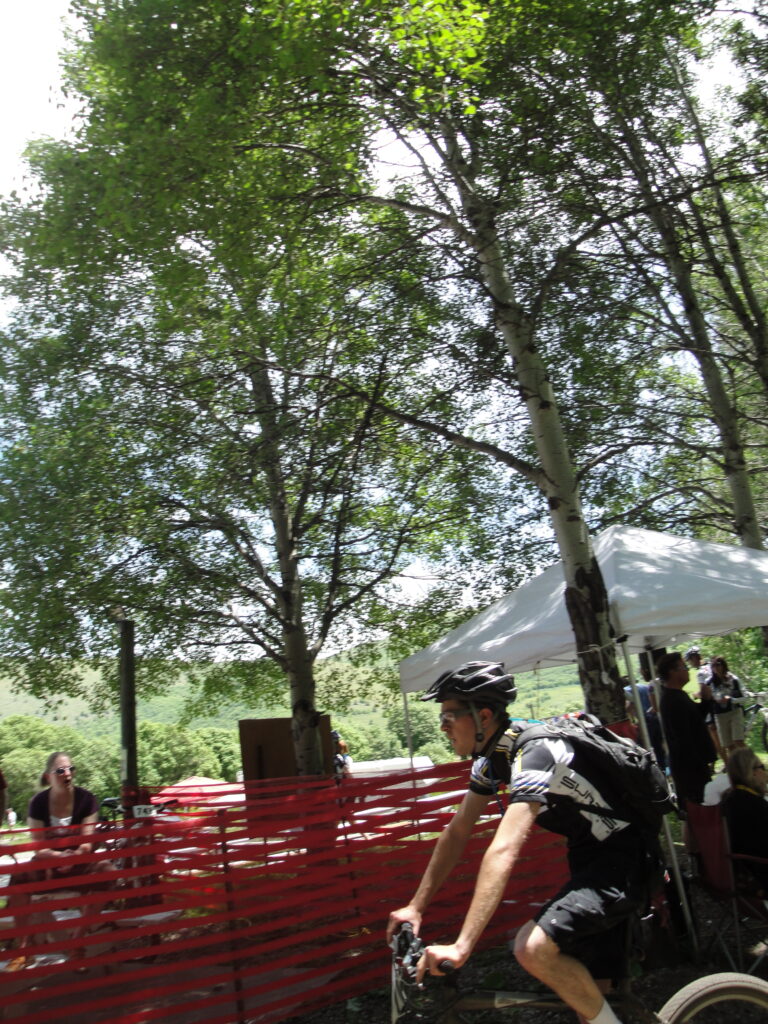
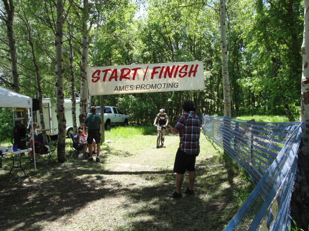
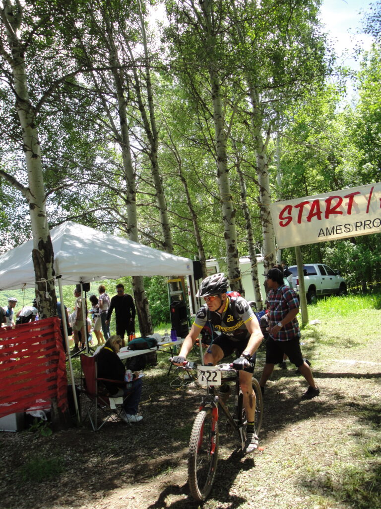
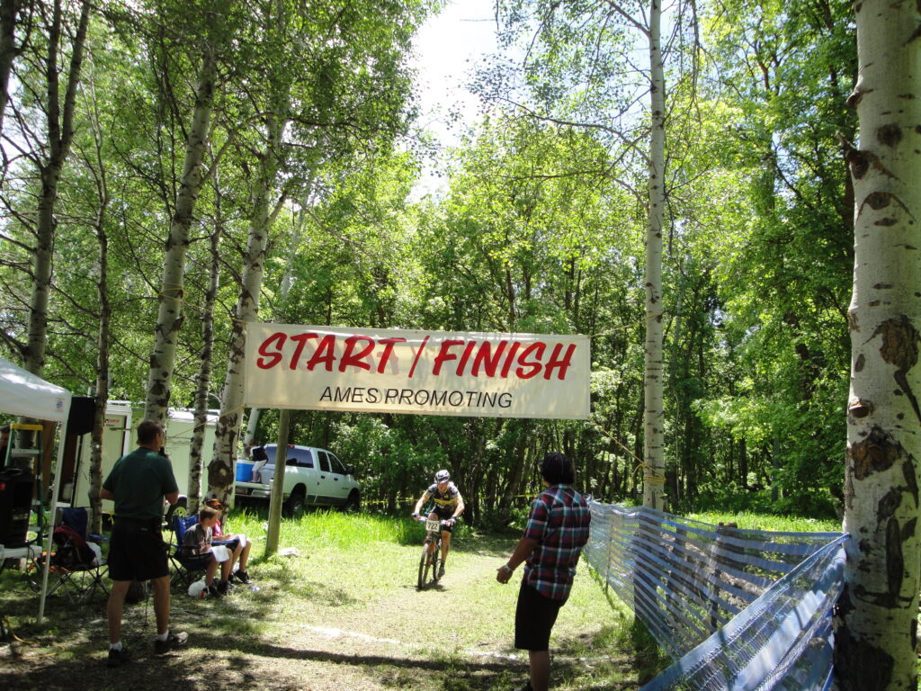
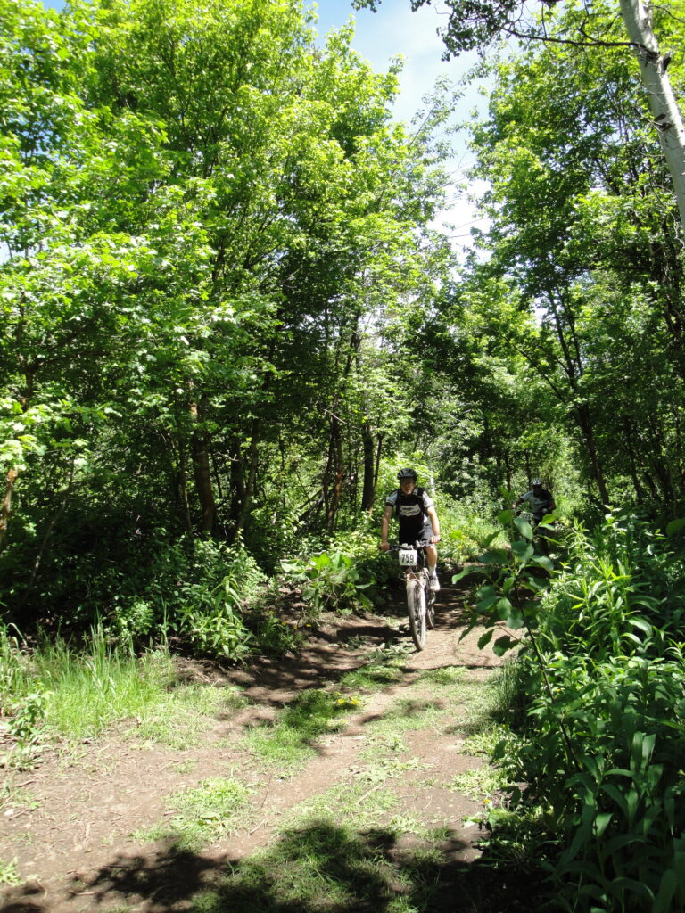
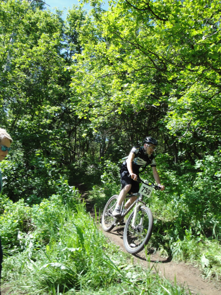
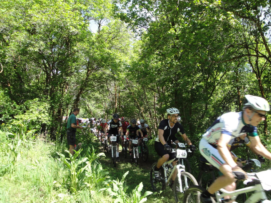
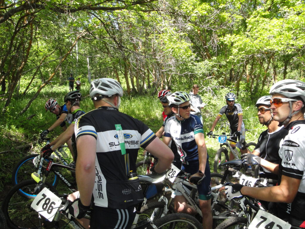
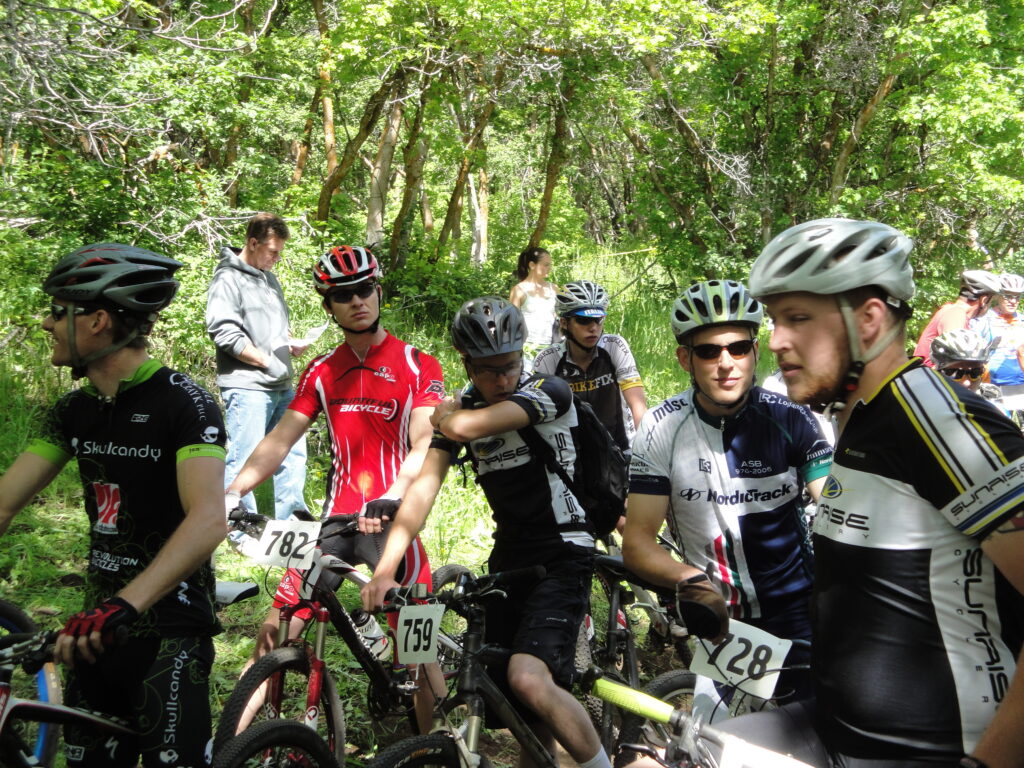
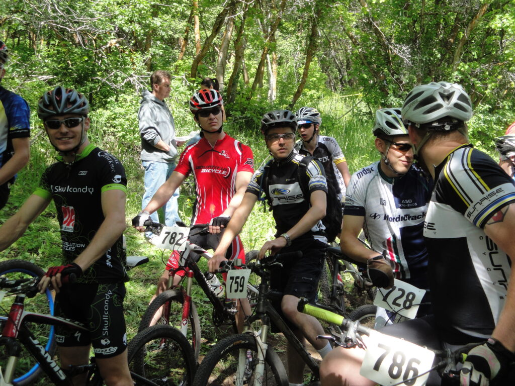
In 2014 I trained, and raced the Park City Point to Point race. The race was tough. Essentially the number of hours I put into training was rather staggering. There was nothing more than to complete the race. In a sense I have payed for the choice to train, and finish the race. Ever since the race and in the months leading up to the race I have dealt with left knee problems. Although I have done a lot of work to resolve the knee problem I have yet to be successful at total resolution.
Race day began with me eating nothing more than a bagel and 32 oz of milk. Not a great breakfast to start such a long day on the bike. I did try to get a better breakfast, but with me and my wife having a 10 day old baby did not help with the issue of finding food. We stopped at the gas station and got breakfast. Next time I do a big race like the Park City Point to Point I won’t do that again. I know what breakfast does really good in keeping me going on long rides. I like to start out with a few strips of bacon, pancakes or waffles, orange juice, and milk, and some hash browns. I am able to go longer on my good breakfast without hunger or burning out. Finding the race start was also a little tricky in the dark. I now know where to go next time if I race.
The race started out in Round Valley and went around in a big circle essentially adding several thousand feet in an otherwise not a big climbing area. The exit from Round Valley came out where the race started. After round valley the race worked over to Deer Valley where the first long climbing would be done.
The first big climb through Deer Valley took me a couple of hours to complete. That is where the first support area was located. I stopped and got a quick snack before jumping back on the bike. I was really wishing I had a better breakfast at this point. The race kept climbing, and the clouds continued to move in and instead of warming up the weather got colder. Once I got done with the long big climb and right before the start of the enduro segment there was bacon! Bacon saved me! I ate a couple of slices of good greasy bacon. I started the enduro segment even though I really wasn’t paying attention to the start. I was really wishing that I could pass more people on the downhill in the enduro segment. Some had difficulty navigating the trail technical obstacles. Eventually I dropped most of the elevation I had gained and I had to ride back up the mountain to Hidden Lake.
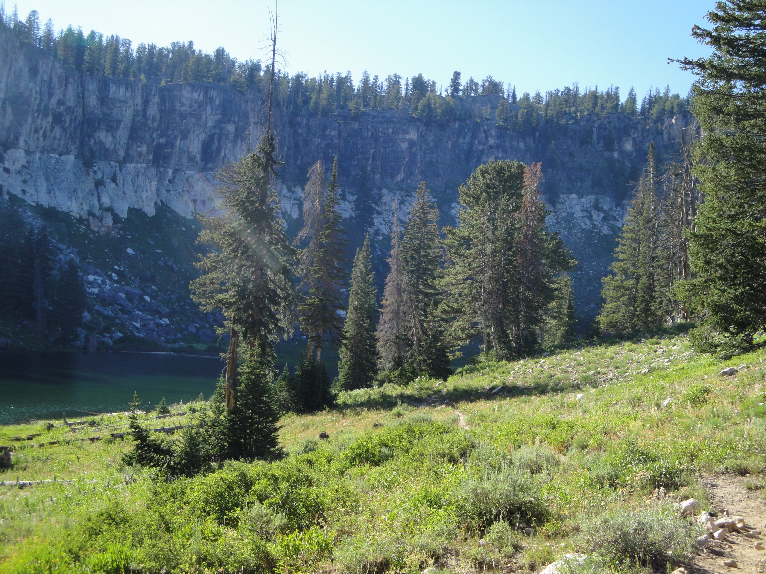
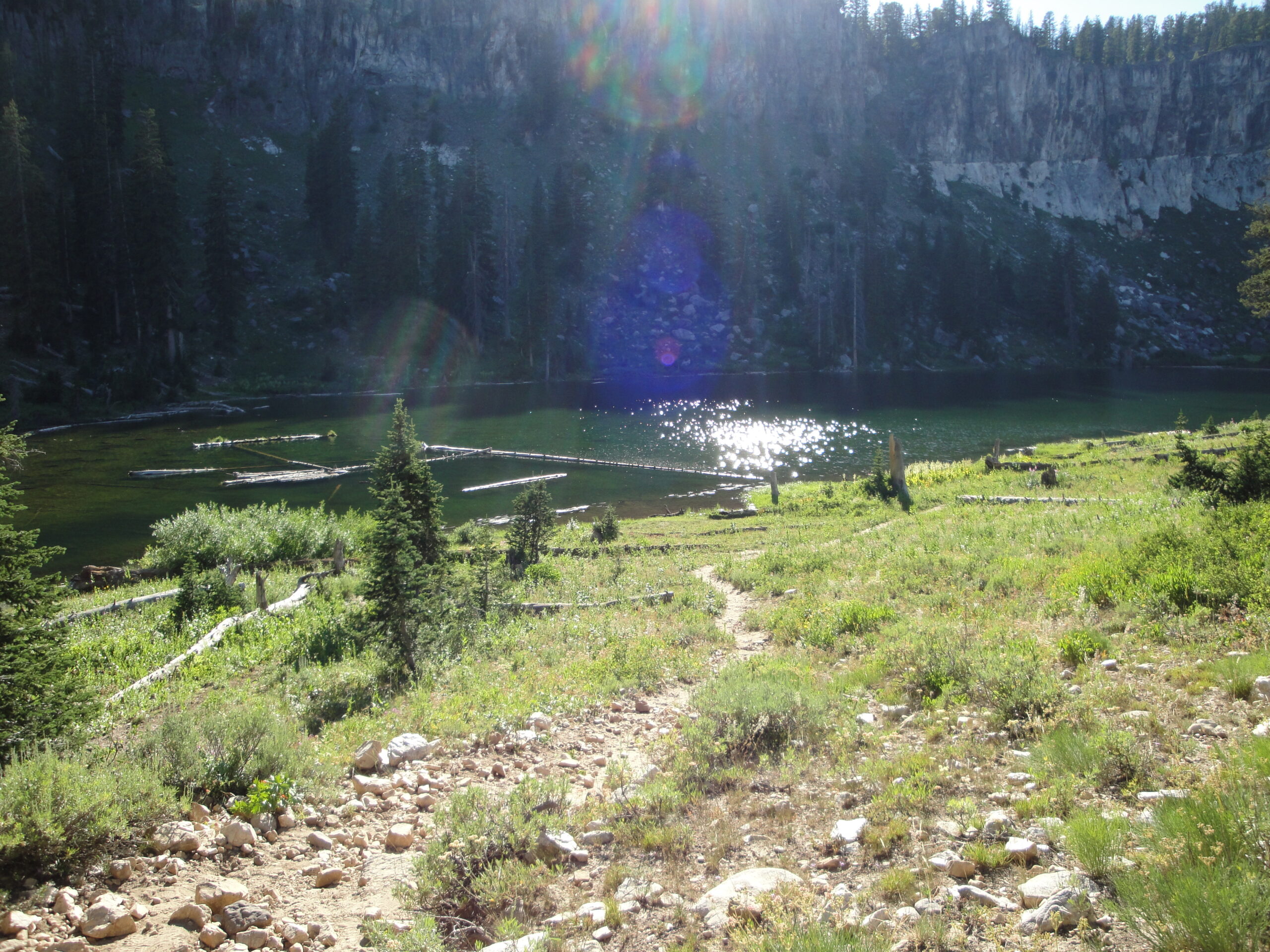
During the climb up to Hidden Lake the rain came in. The rain brought dark times because I did not have my jacket. The lake probably would have been much better looking if I hadn’t been almost hypothermic at the time. I told myself that I just needed to survive till I got to the second feed zone. Then at the second feed zone I could make my decision if I would keep going. At the second feed zone I had food. Glorious food to reinvigorate me. I stayed at the third feed zone for a half an hour, and had good luck with the sun coming out and warming me up and making the day rather pleasant. I made the choice to continue. My knees at this point were bothering me.
The third segment for me began with a nice long climb which I figured that I would be the last person and not catch anyone. I was surprised when I passed two fellow racers. With me being stopped for a half an hour I was dropped about 7 positions. So I passed 2 racers and I was still thinking that I wouldn’t pass anyone else. On the contrary when I passed the last support zone I caught up to two more racers. Now I was getting more excited! I caught up to another, and another racer. I was starving for downhill at this point. I was going as hard as I could to get to the finish line and get downhill! The longer I went without a good long downhill segment the more angry I was getting. Finally I got a good long downhill section and was just ripping the downhill as fast as I could, and then disappointment. I had to ride back uphill for an elevation gain of about 500 feet. I was very grumpy about that. I really just wanted to be done and was trying to complete by a certain time. My hopes were dashed. I got to the top of the last climb and I just let gravity let my bike rip down the last piece of trail for the day. I caught up to one last person at the very end and I was riding his wheel. I really just wanted to get to the finish line, and be done. He went around a turn, and I cut the turn to get in front and bam! I finished the race at last!
I spent time looking for Kristie, and Sage and then we got a bite to eat. In the end the race was closer to 76 miles, and closer to 12,500 feet of elevation gain rather than the advertised numbers. Tough is a great way to explain the race. Can I do it? Sure can! The race took me about 12 hours to finish. I could do the race again, but training for a race of this magnitude requires days of very long rides which becomes a part time job. In the past several months I have sort of had to refind my love for cycling.
The Bear Lake 2013 ride was hot and injurous and exciting! To start the Bear Lake ride story requires a quick summary. I almost broke my arm, and Kristie seriously injured her shoulder and had to walk the last two miles of the ride because her shoulder wouldn’t bear weight. The ride starts at the Right Fork parking area in Logan Canyon. Afterwards we start by riding up Cotton Wood spring and then over to Mud Flats. We then just follow the road from Mud Flats over to Meadowville passing through Temple Flats along the way. Once at Meadowville we just turn left to the north and follow the gravel road out to Bear Lake and then turn around and ride back. Instead of returning by riding down through Cotton Wood spring we took the route of going down Willow Creek which is where the accident that Kristie had.
So we were riding down in the dark when one of Kristie’s peddle struck a rock and caused her to go sailing over the handle bars. This caused her to injure her shoulder and made is so we had to walk out of Willow Creek to the parking lot. My accident occured while I was riding up Cotton Wood spring. I was ahead of Kristie and wanted to ride the entire length of the trail without stopping or walking the bike at all. I was almost at the top and I had a series of roots I needed to ride over. Instead of riding over the roots the bike spring loaded and bucked me off causing me to hyper extend my elbow. For a minute I thought I might have broke my arm or some tendon since the arm wasn’t working initially but after using my working right arm to move the left arm I got the left arm to start working again. I picked up my water bottle and dusted myself off and finished the climb to watering area for the cattle.
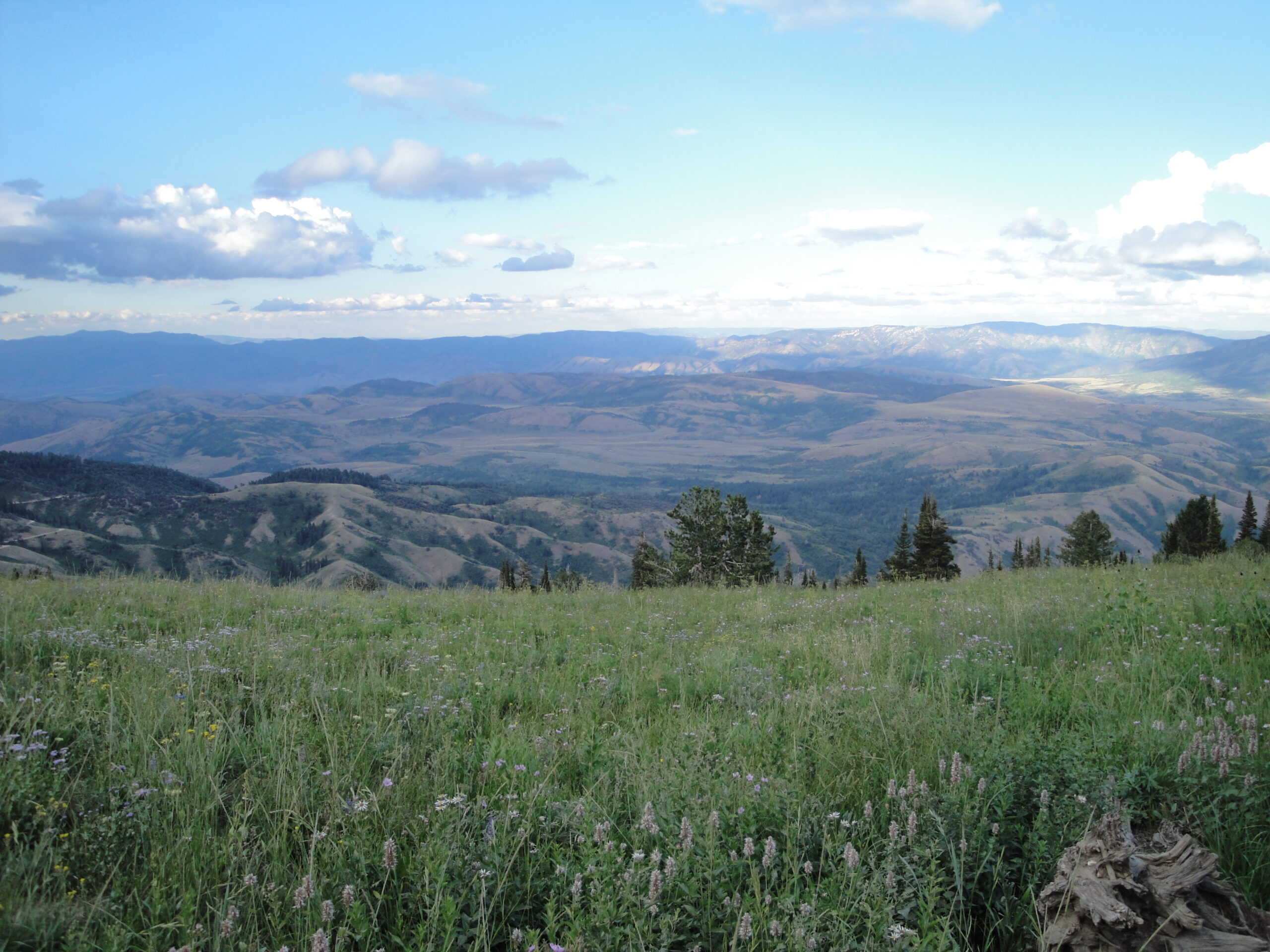
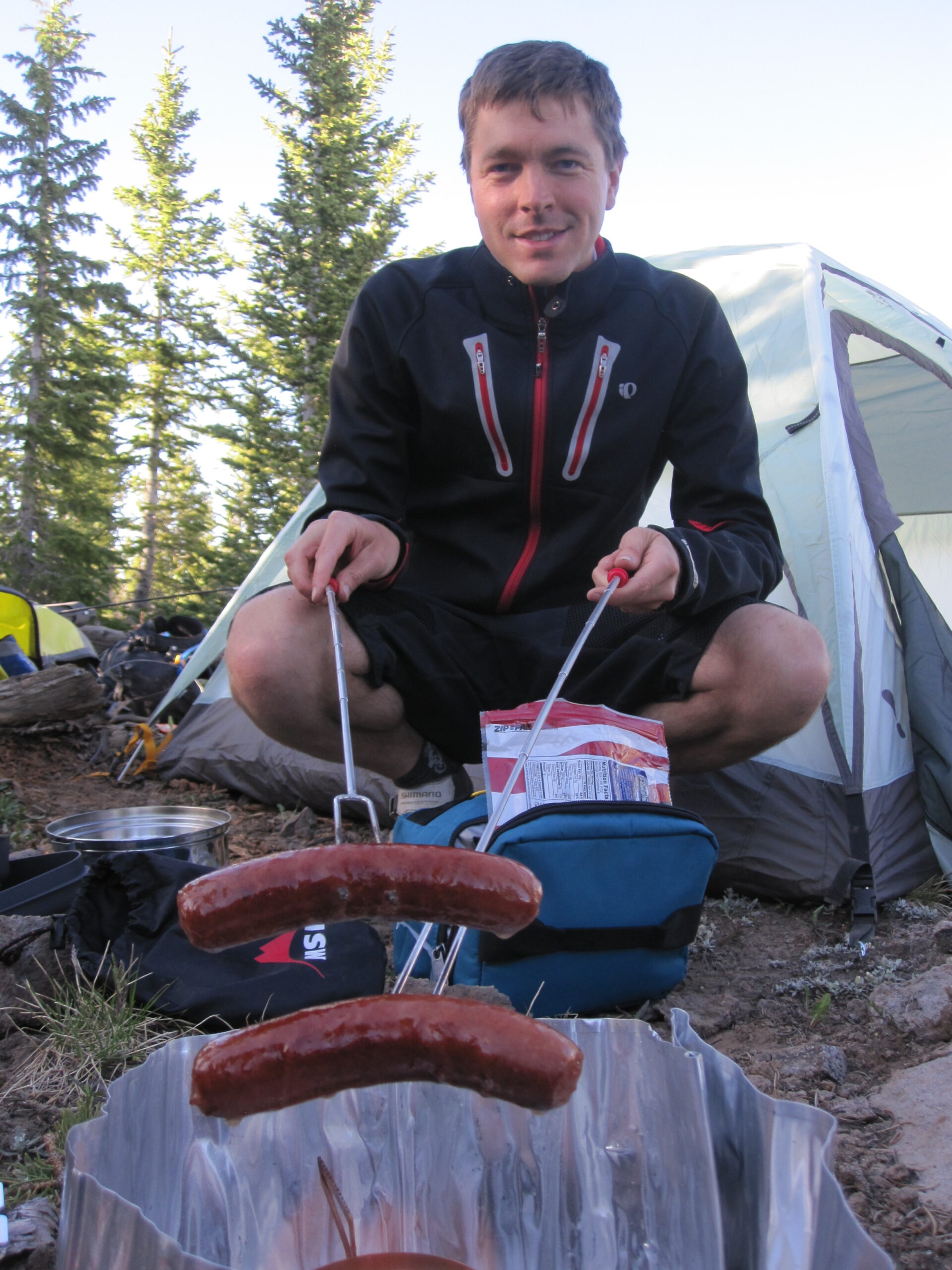
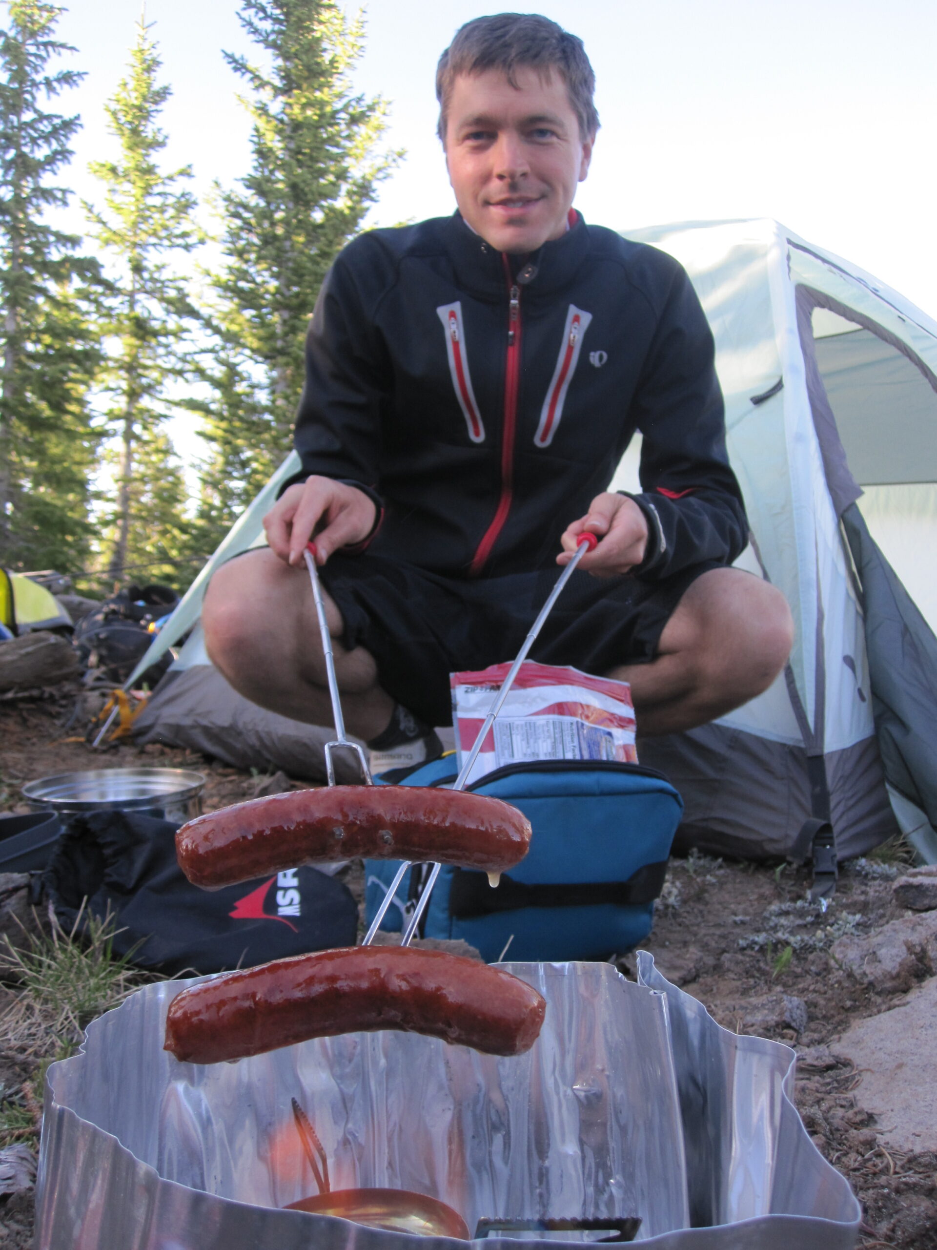
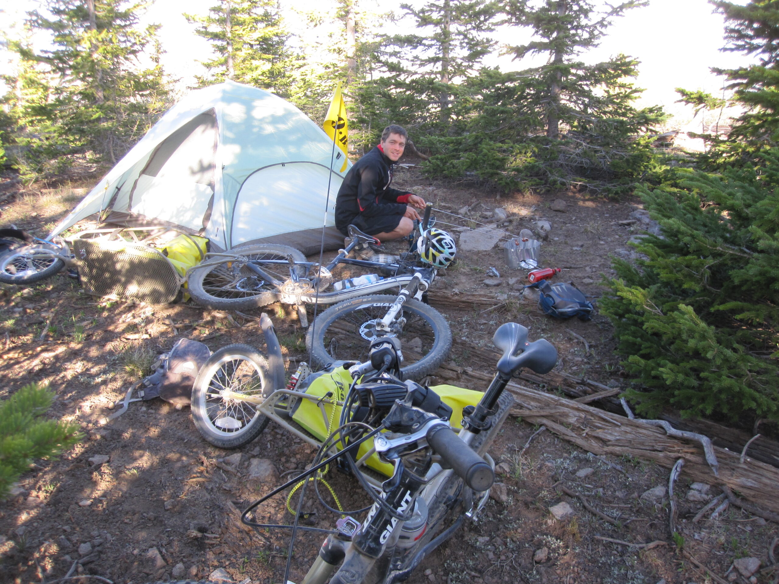
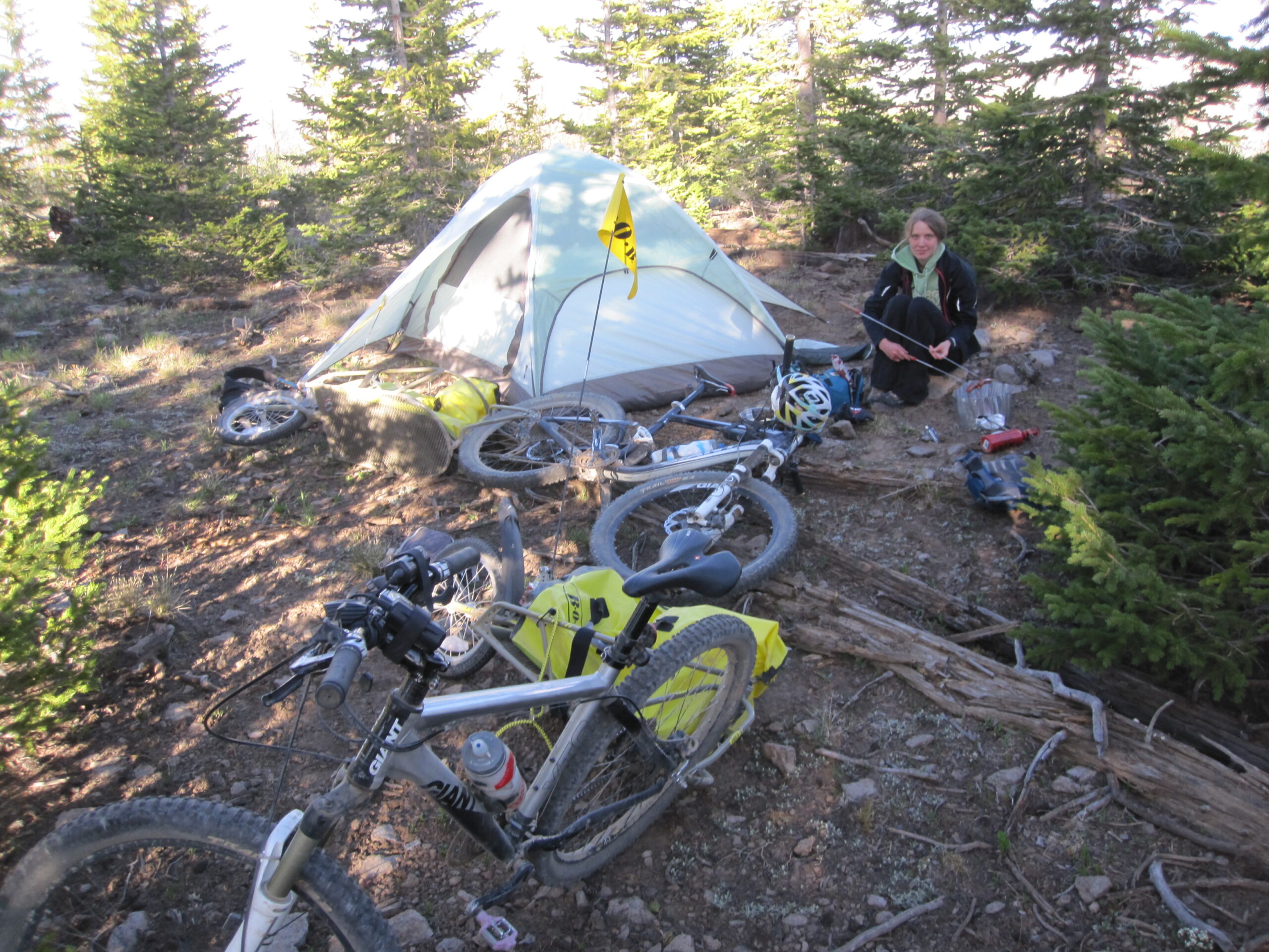
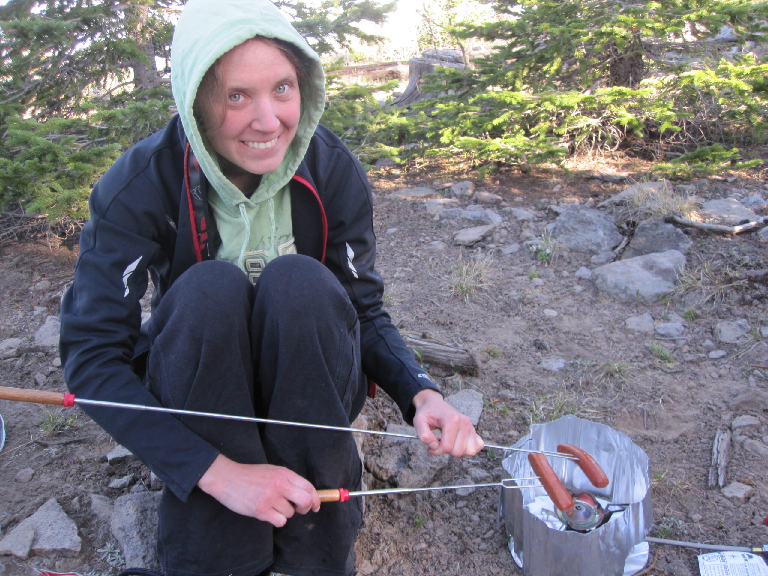
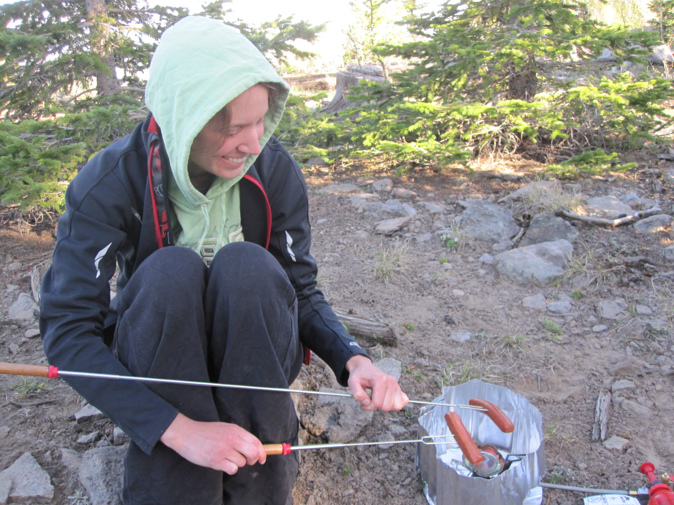
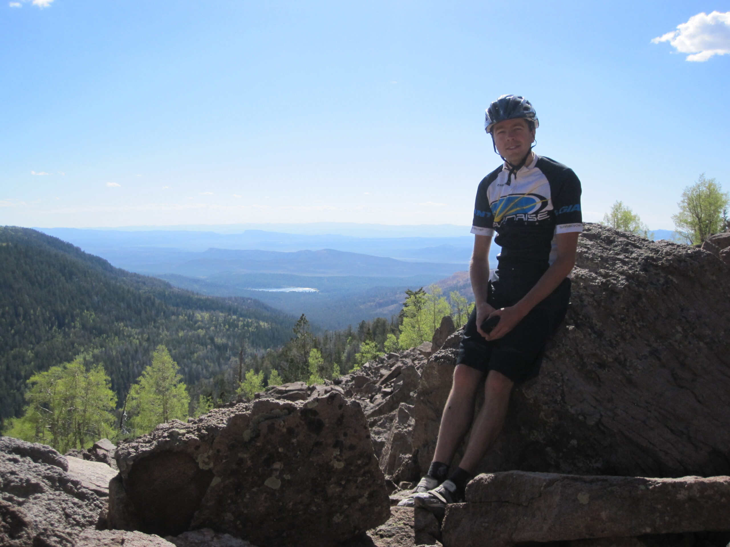
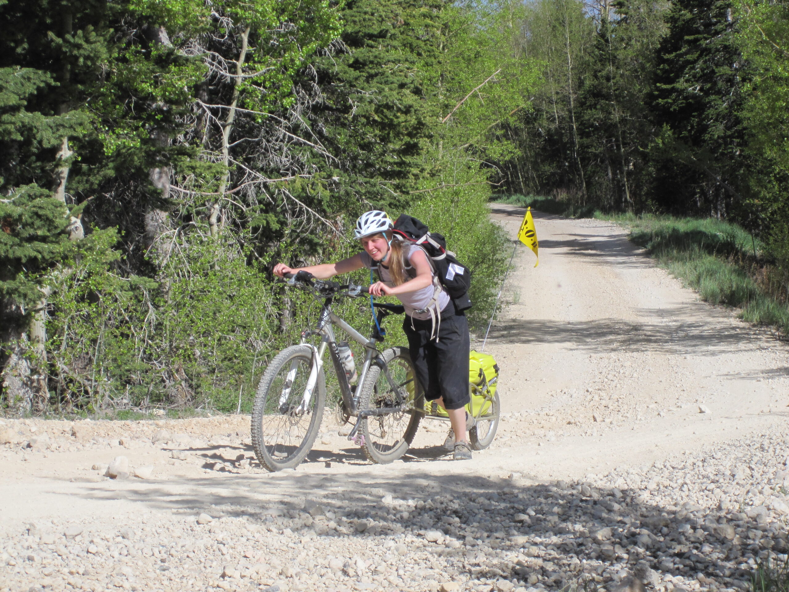
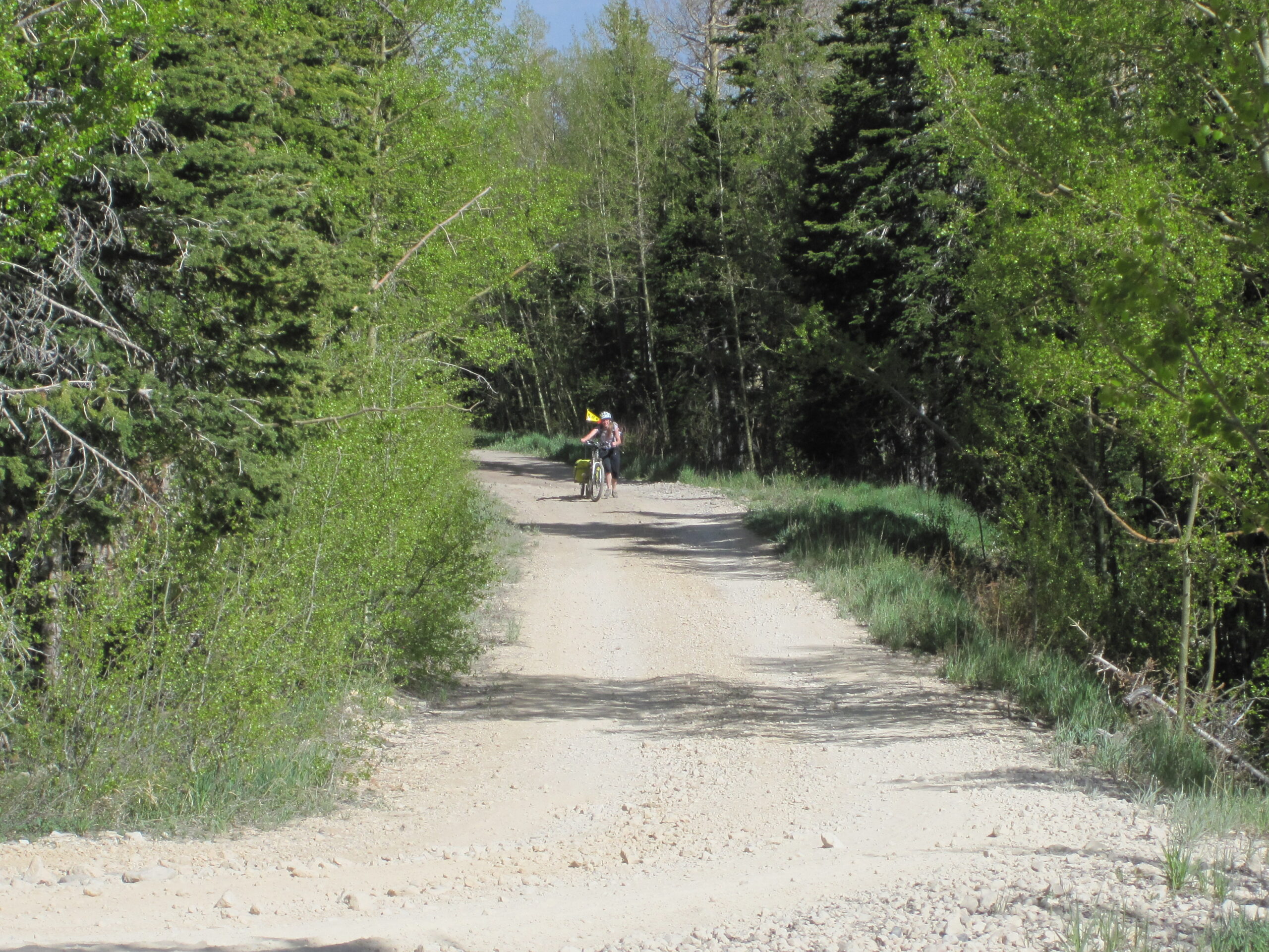
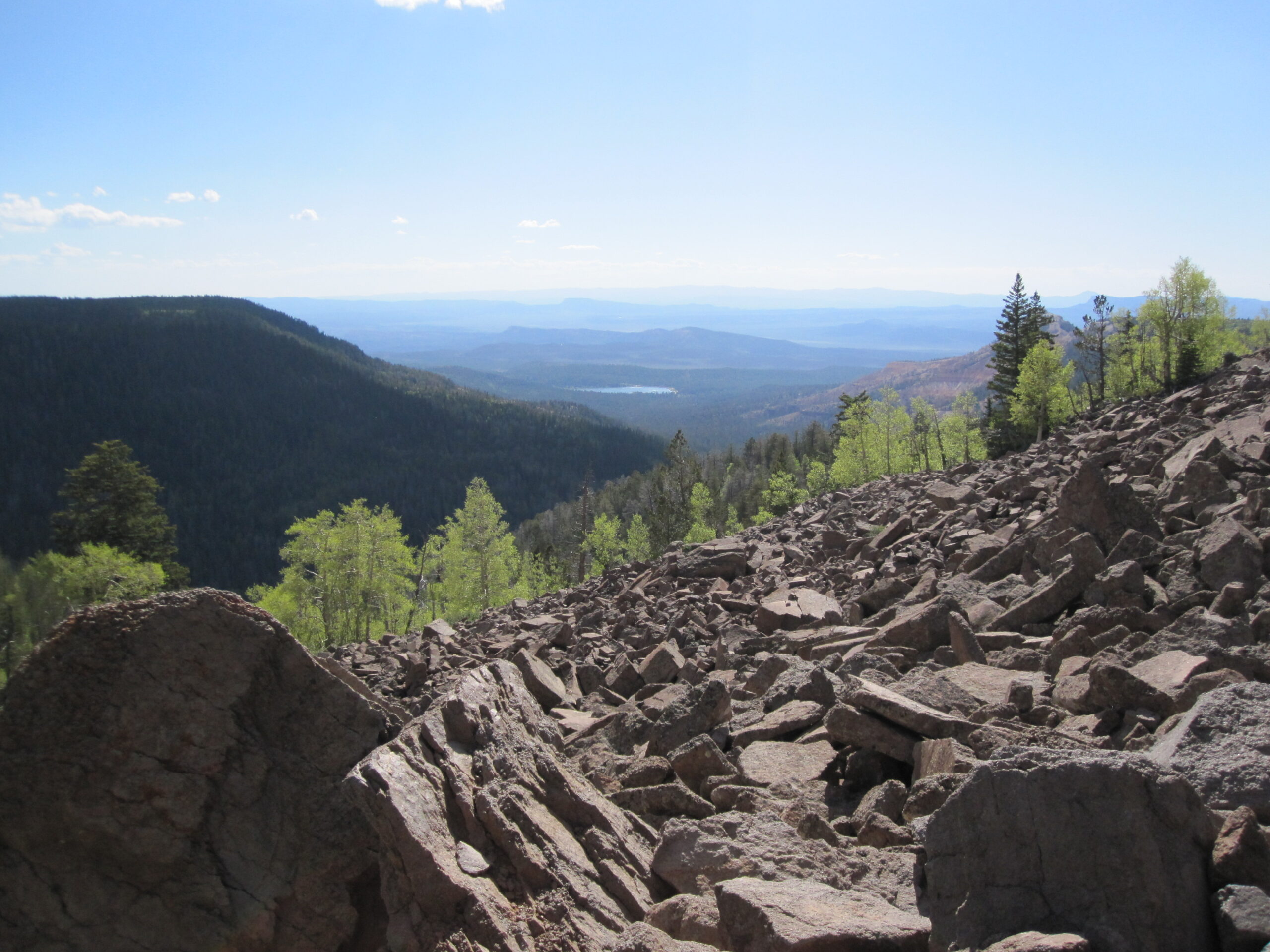
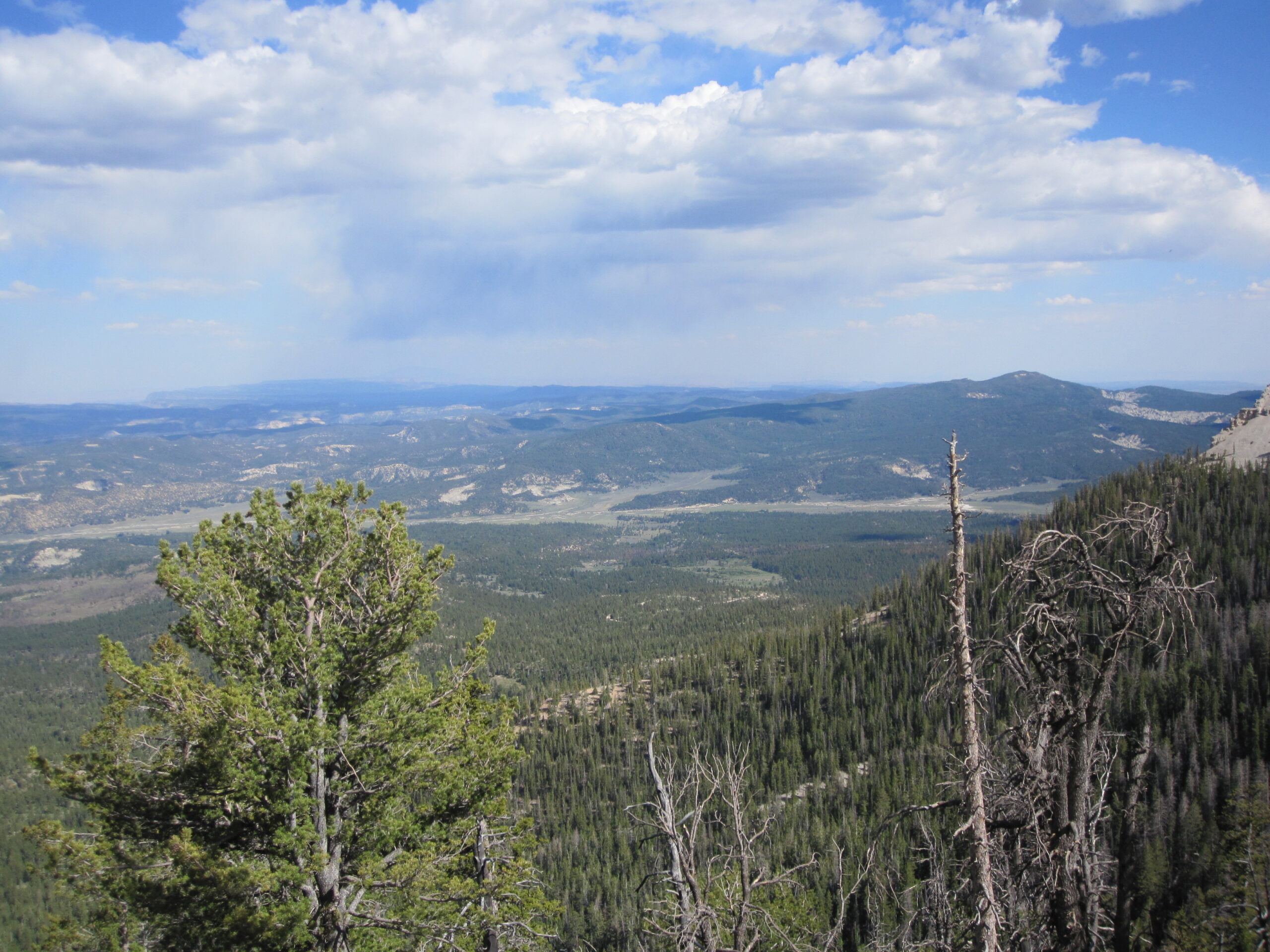
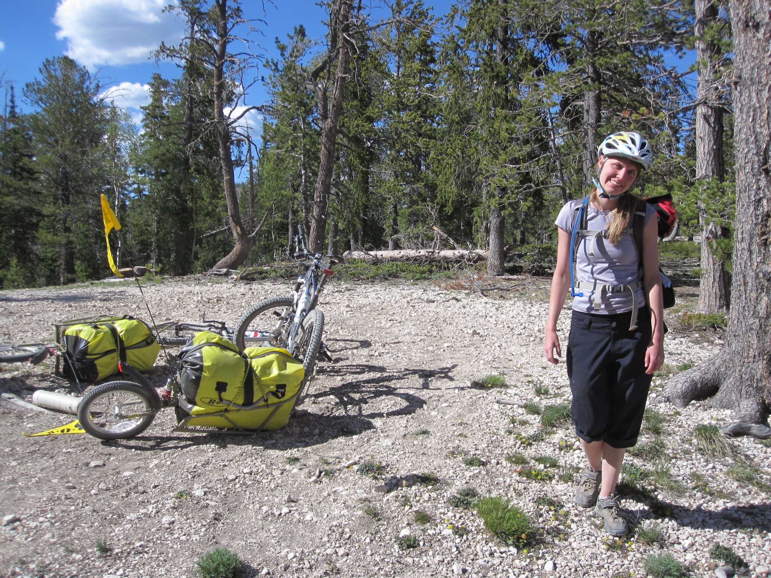
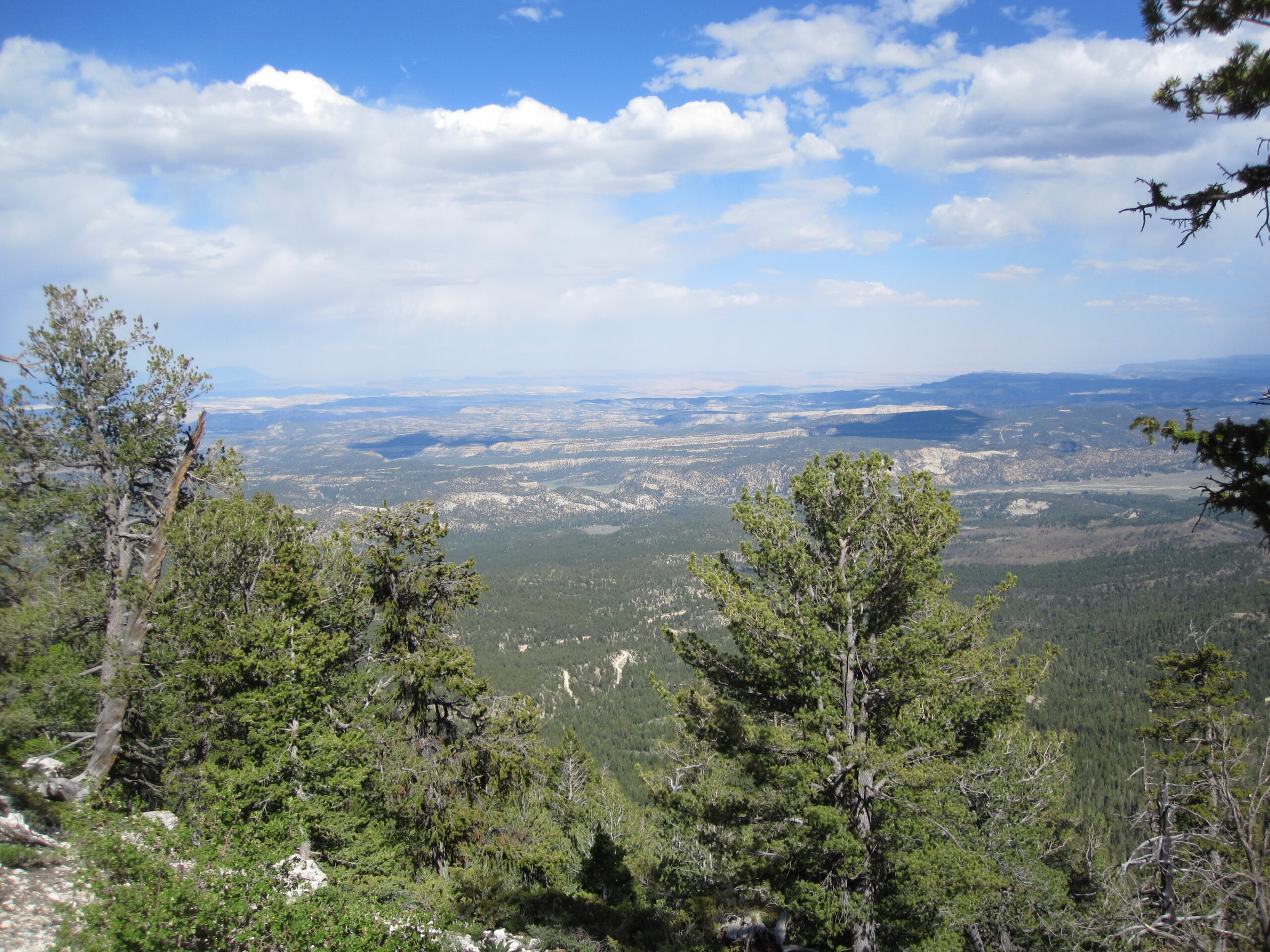
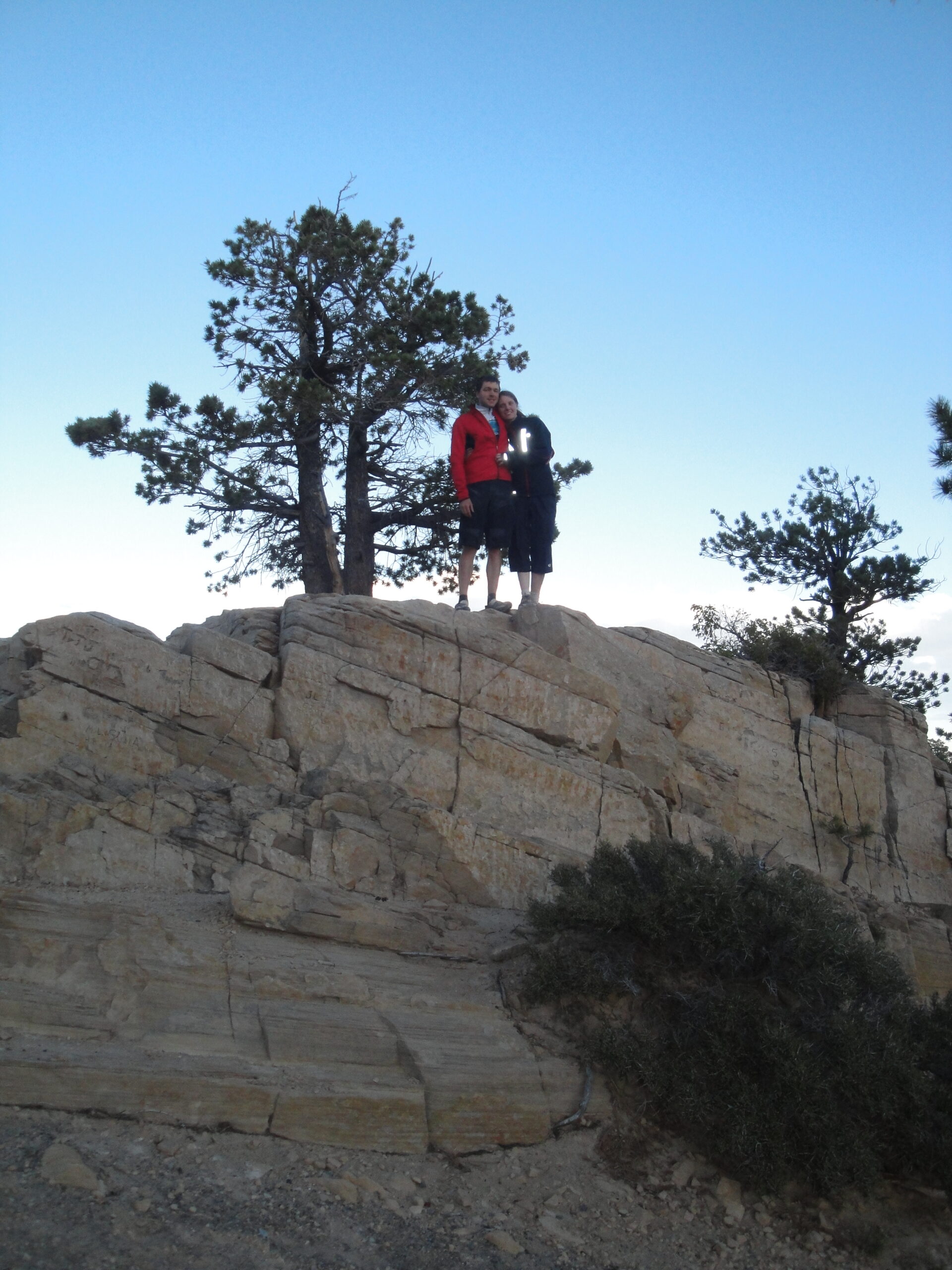
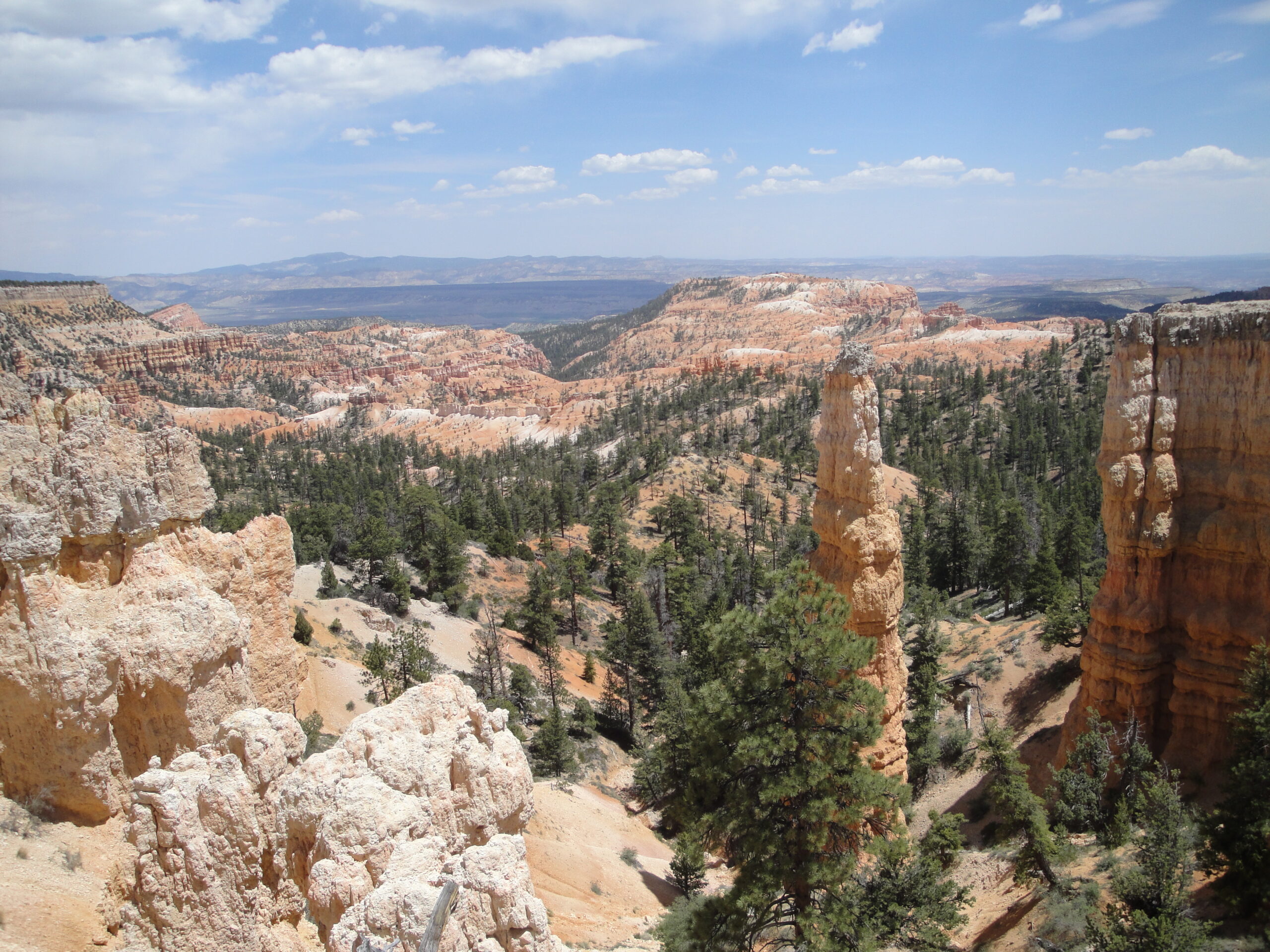
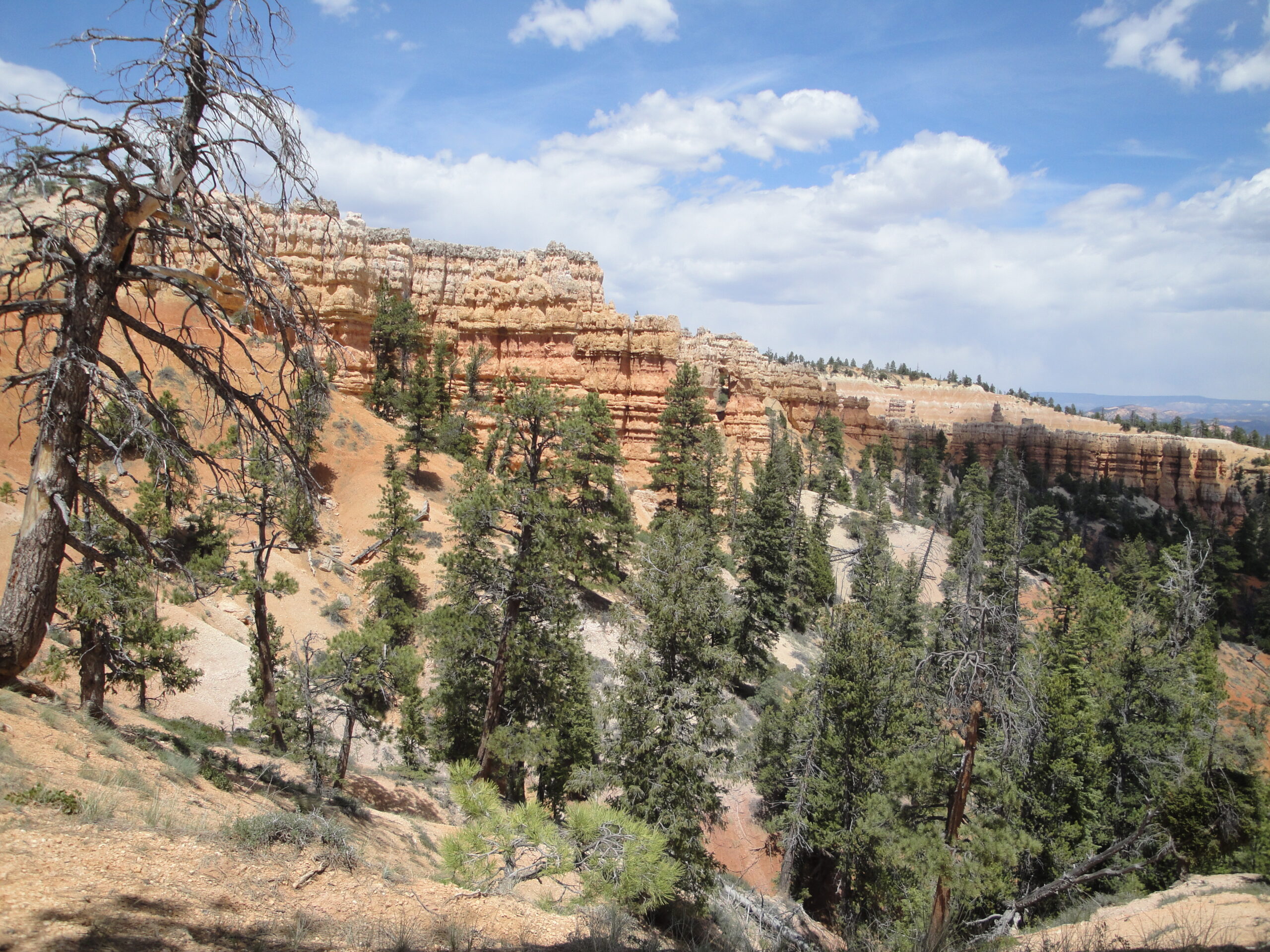
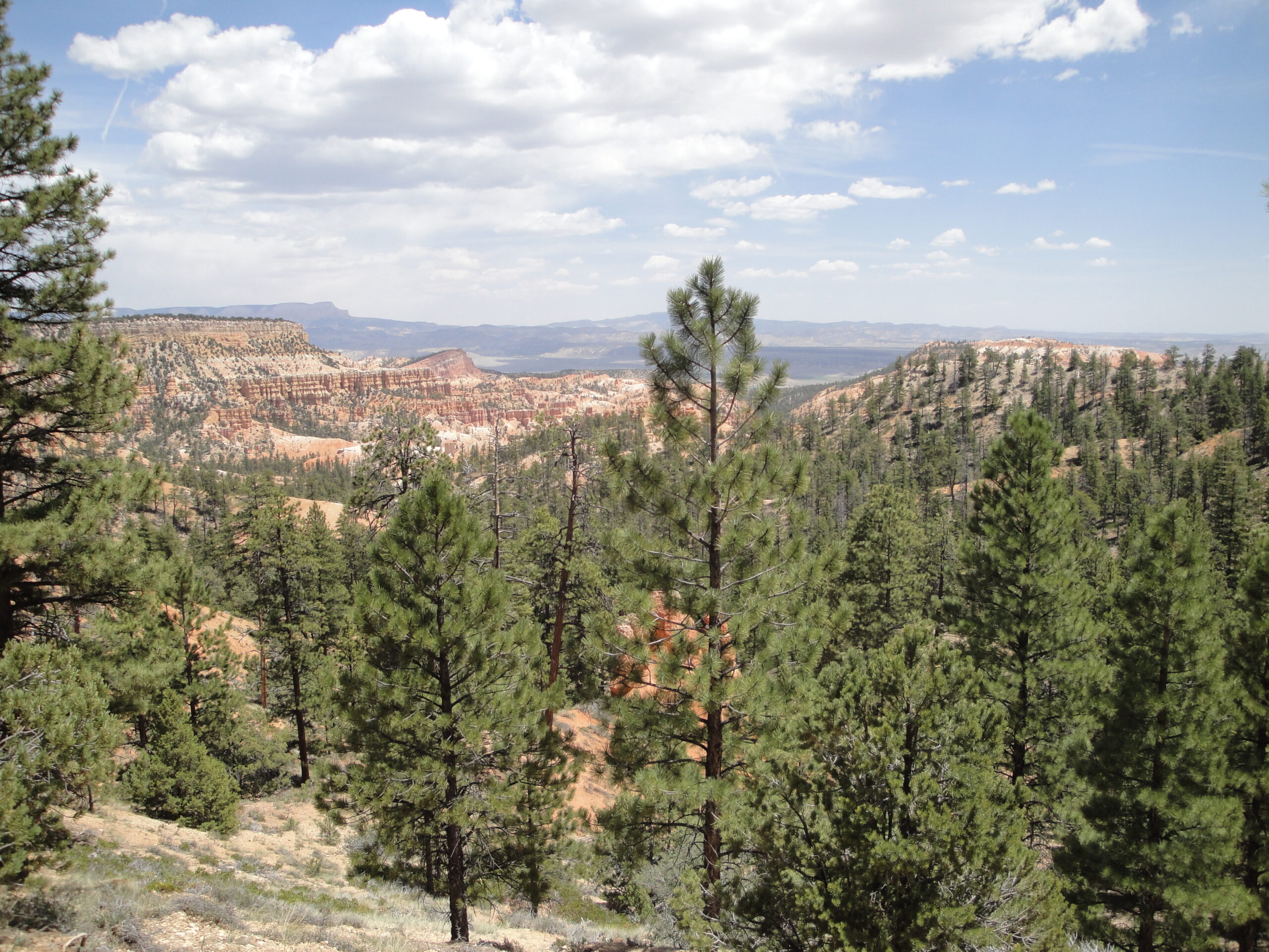
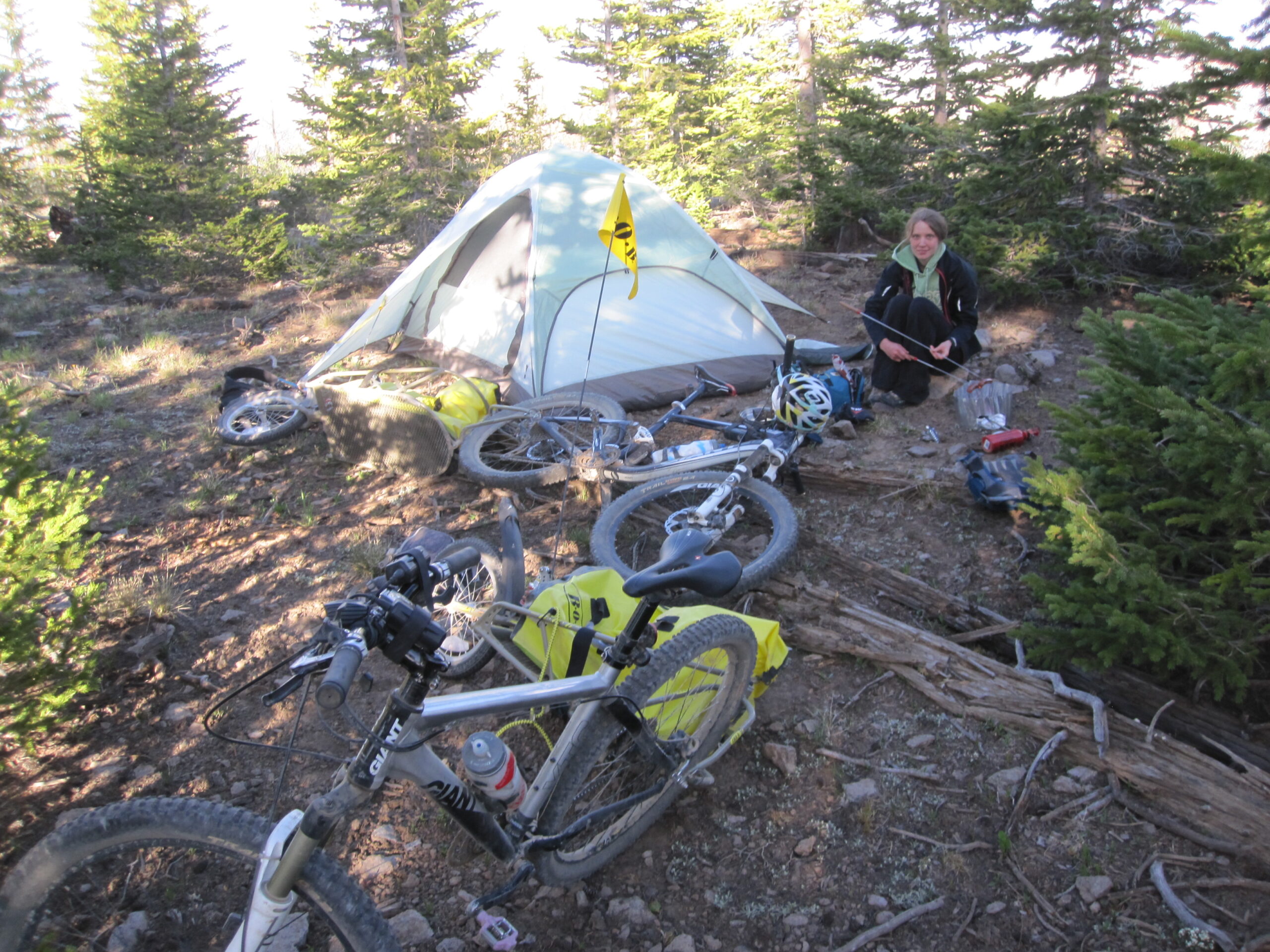
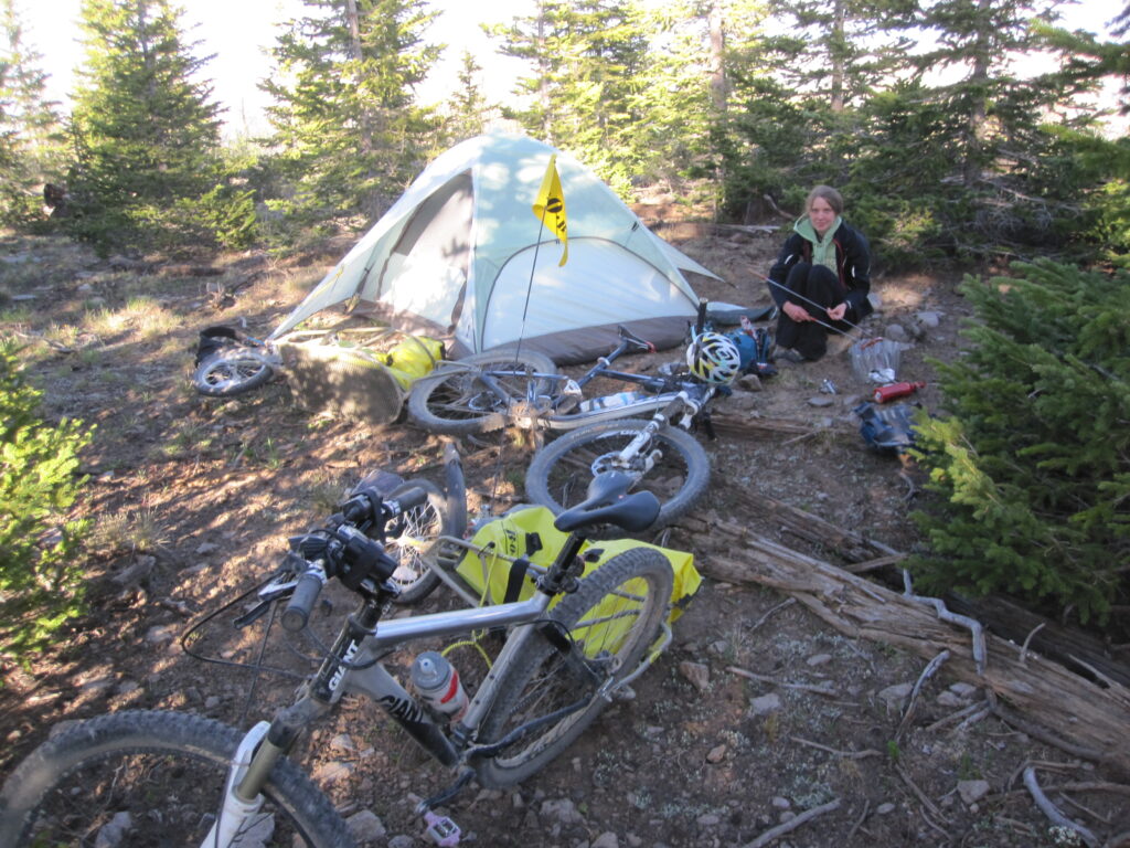
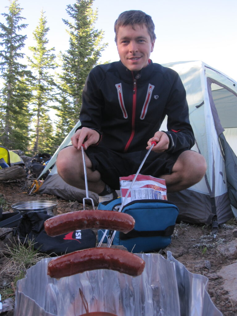
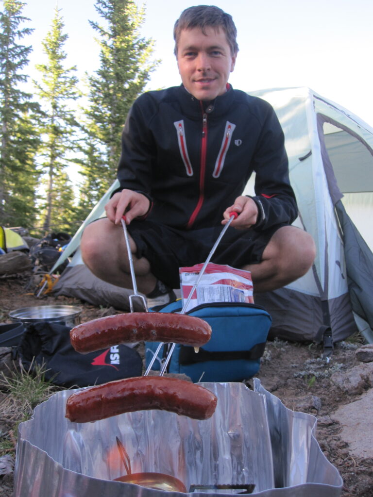
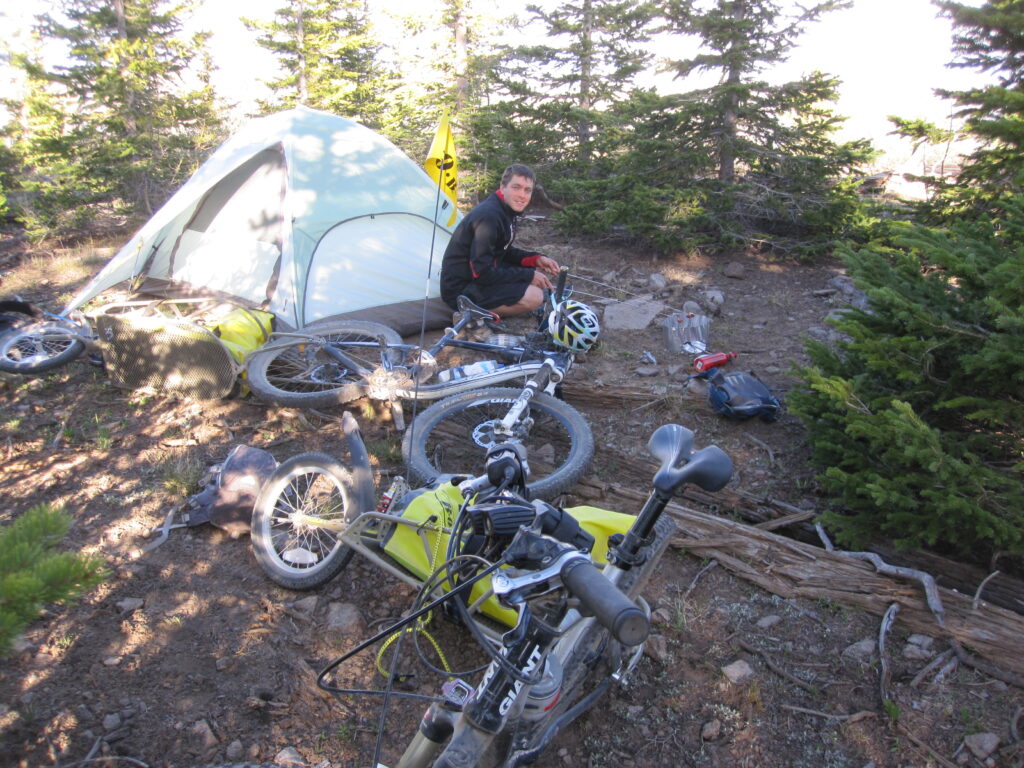
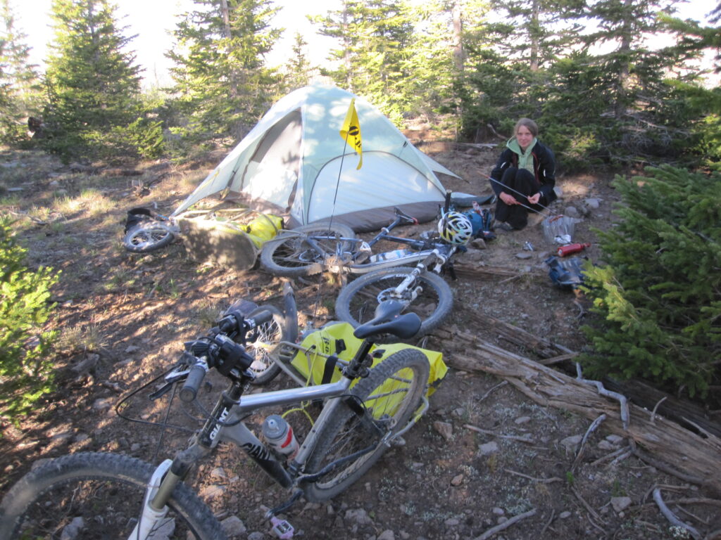
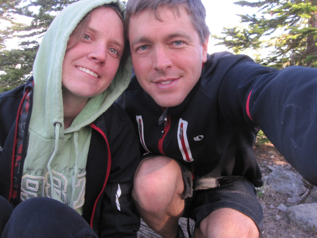
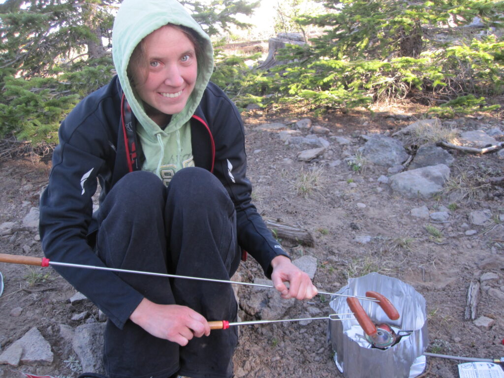
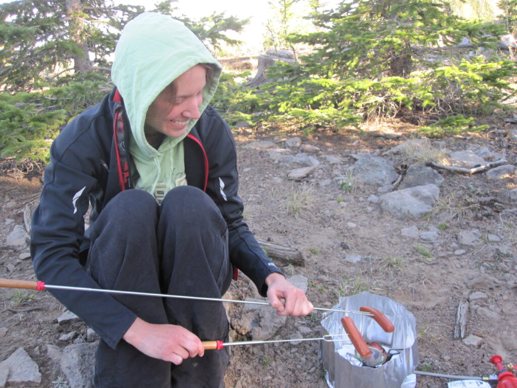
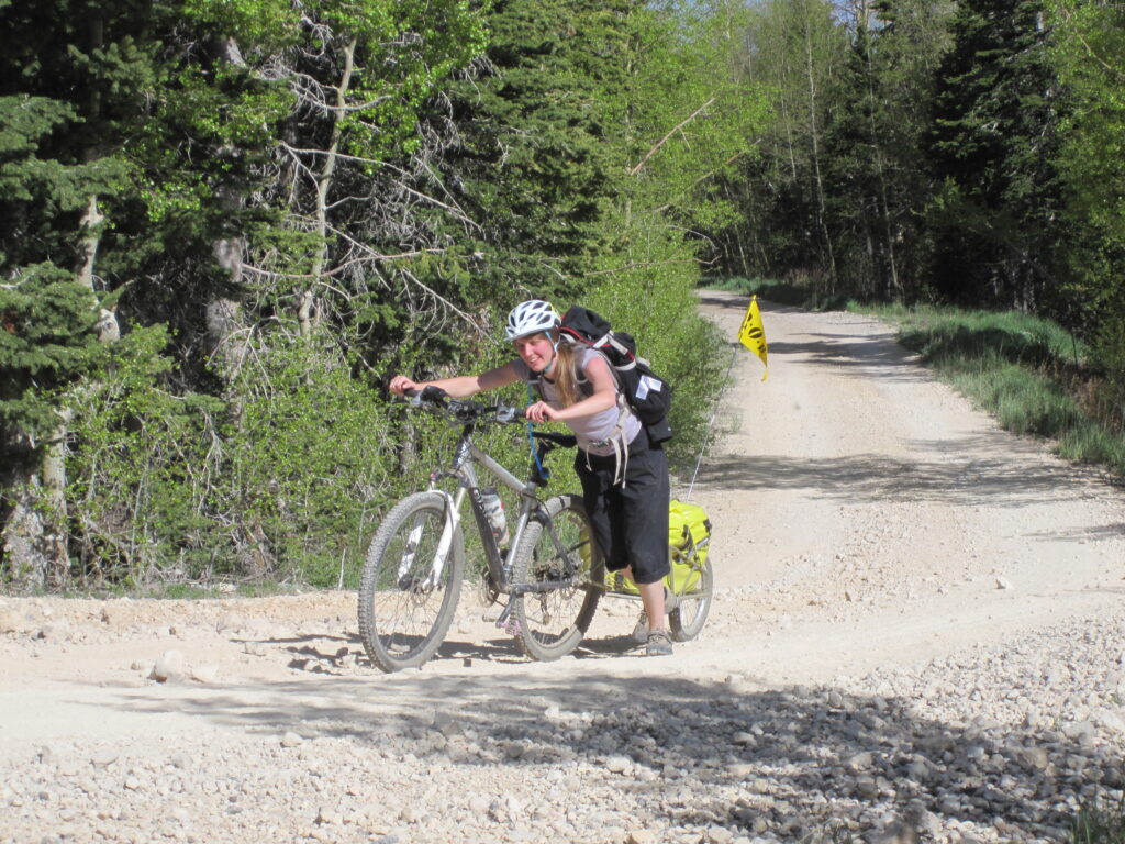
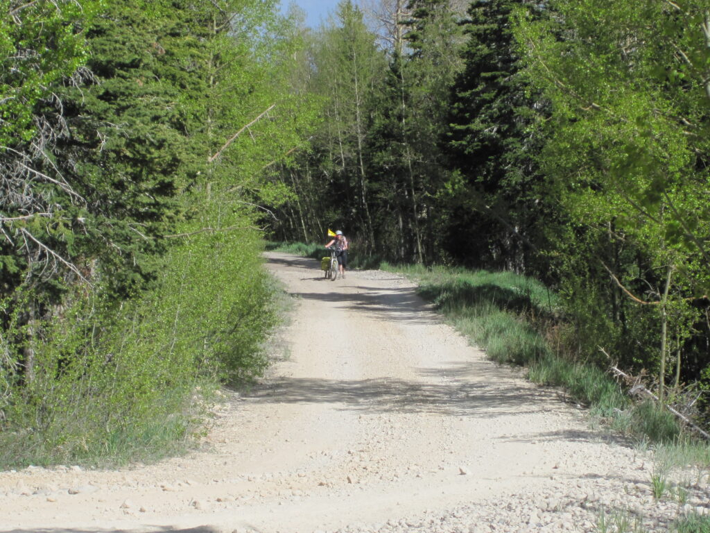
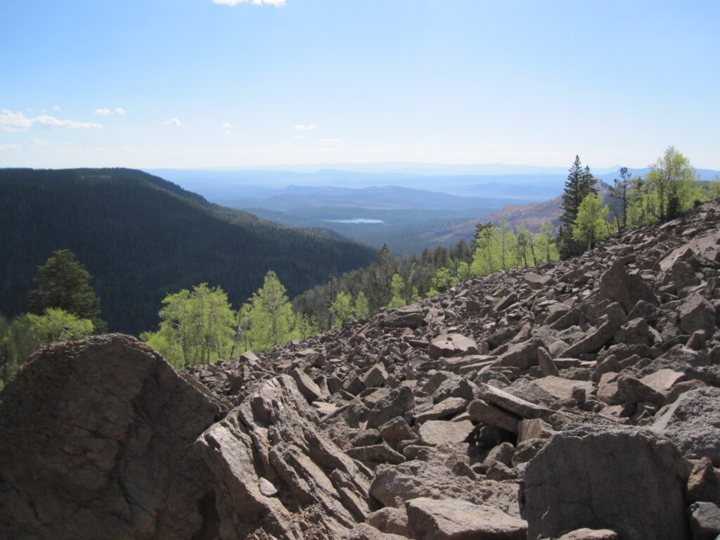
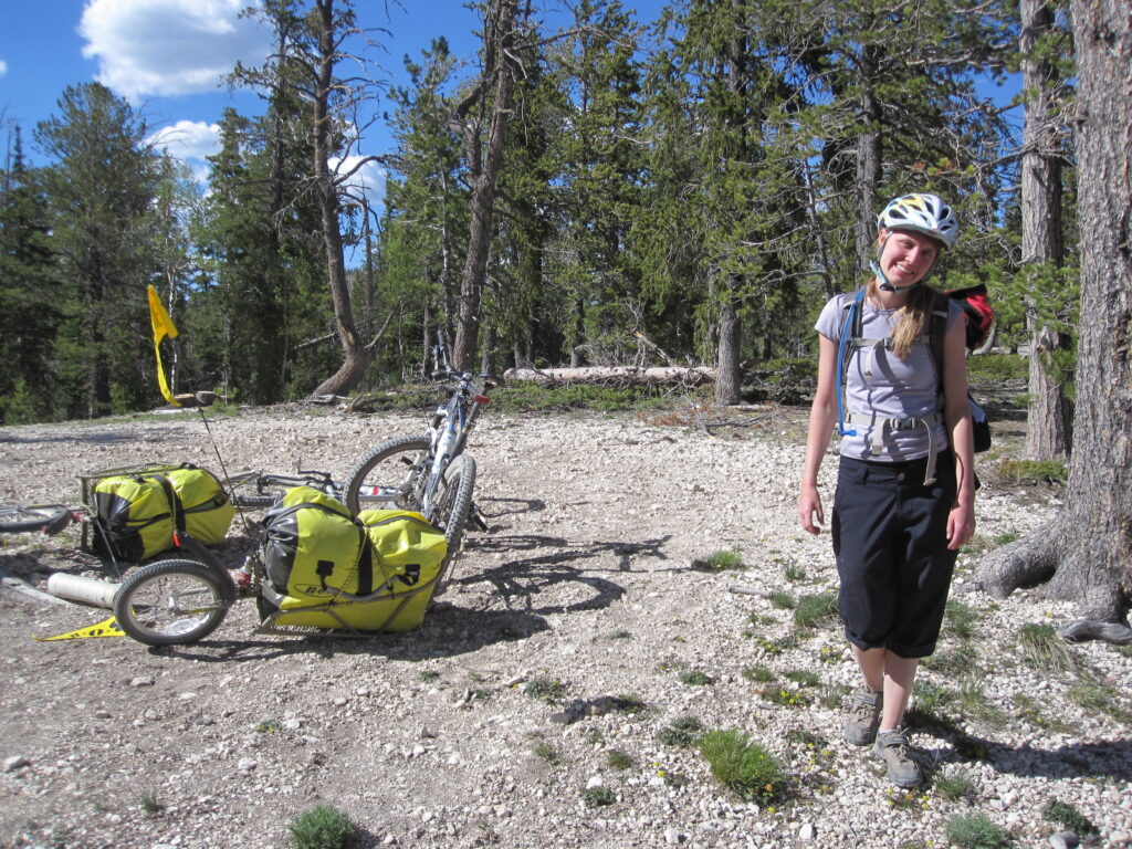
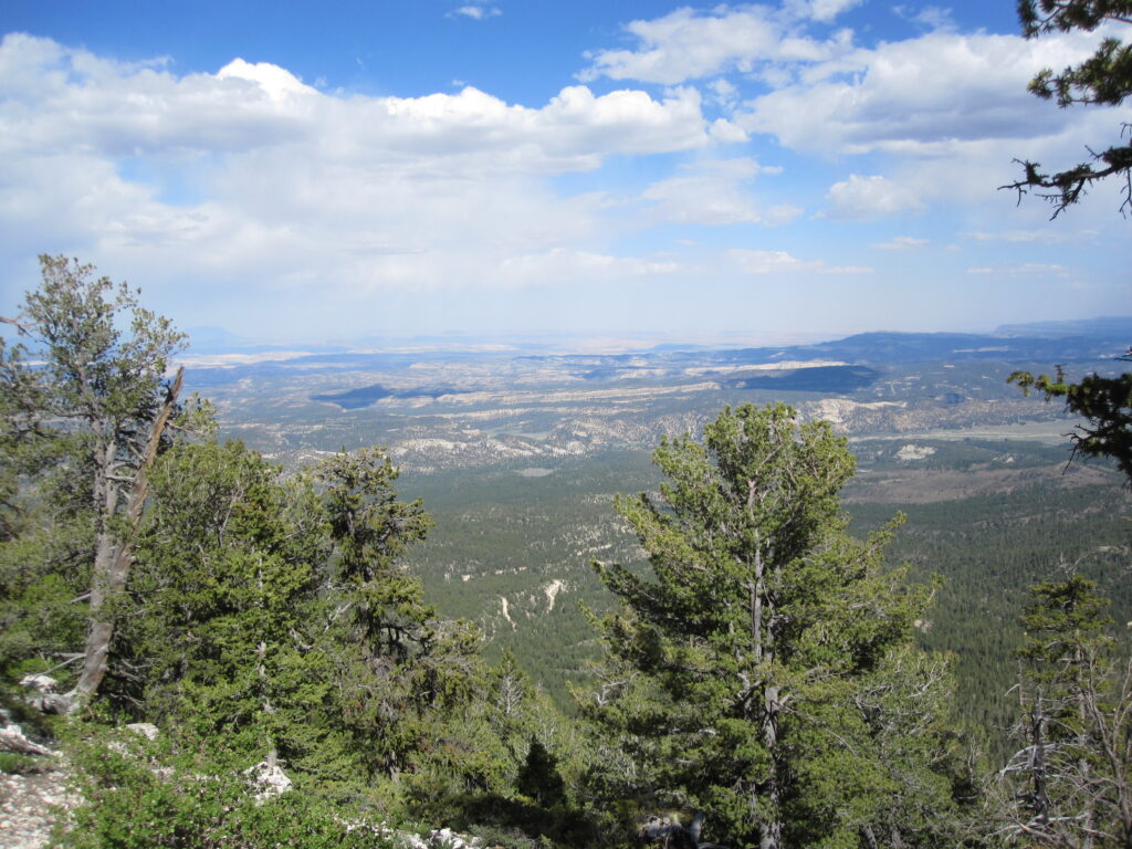
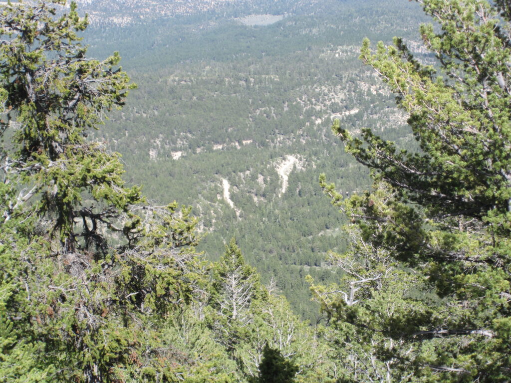
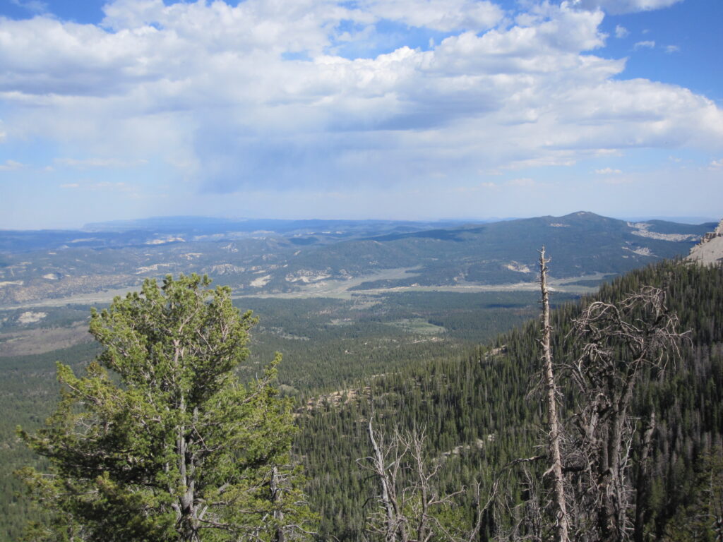
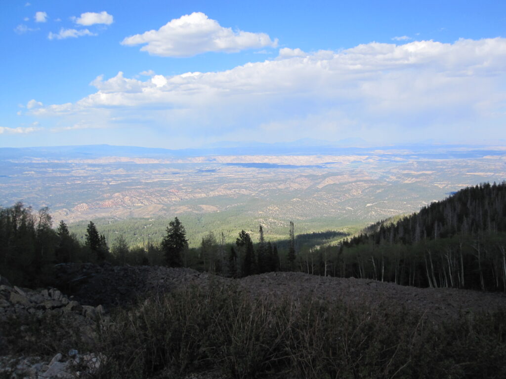
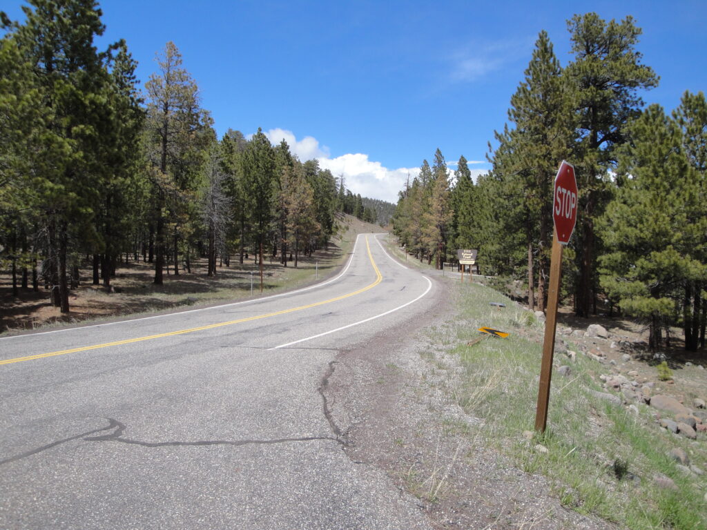
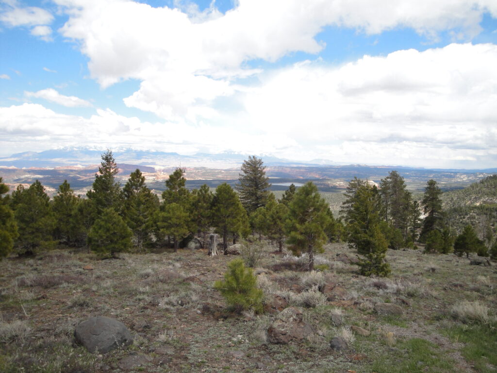
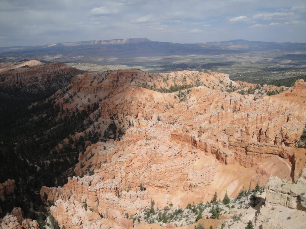
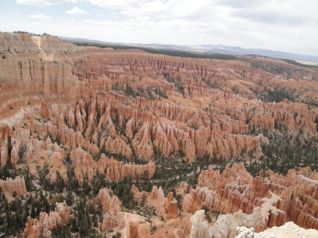
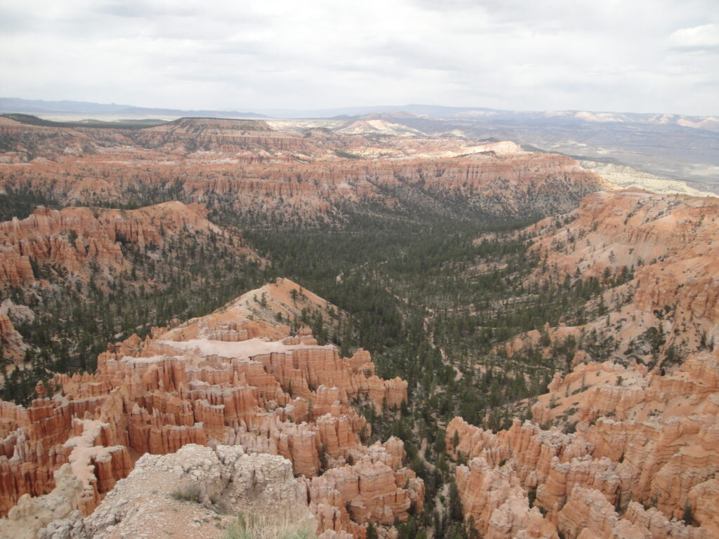
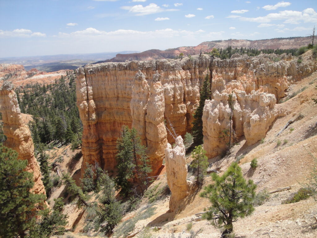
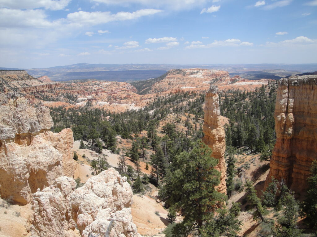
This year for the annual family vacation we returned to Pine Lake. Pine Lake is located about 15 miles north of Bryce Canyon. During that trip me and Kristie went on an bike camping trip. We loaded up our BOB trailers and rode to the top of the mountain. There we setup camp and roasted brats over the little single burner backpacking stove that we had bought. For Kristie the highlight of the vacation was going treking with the BOB trailers. We only camped overnight, but we had fun at the top of the Barney Top at around 10,500 feet. The trailers work great for pulling gear around the mountain. Just remember that the additional weight might slow down the climb.
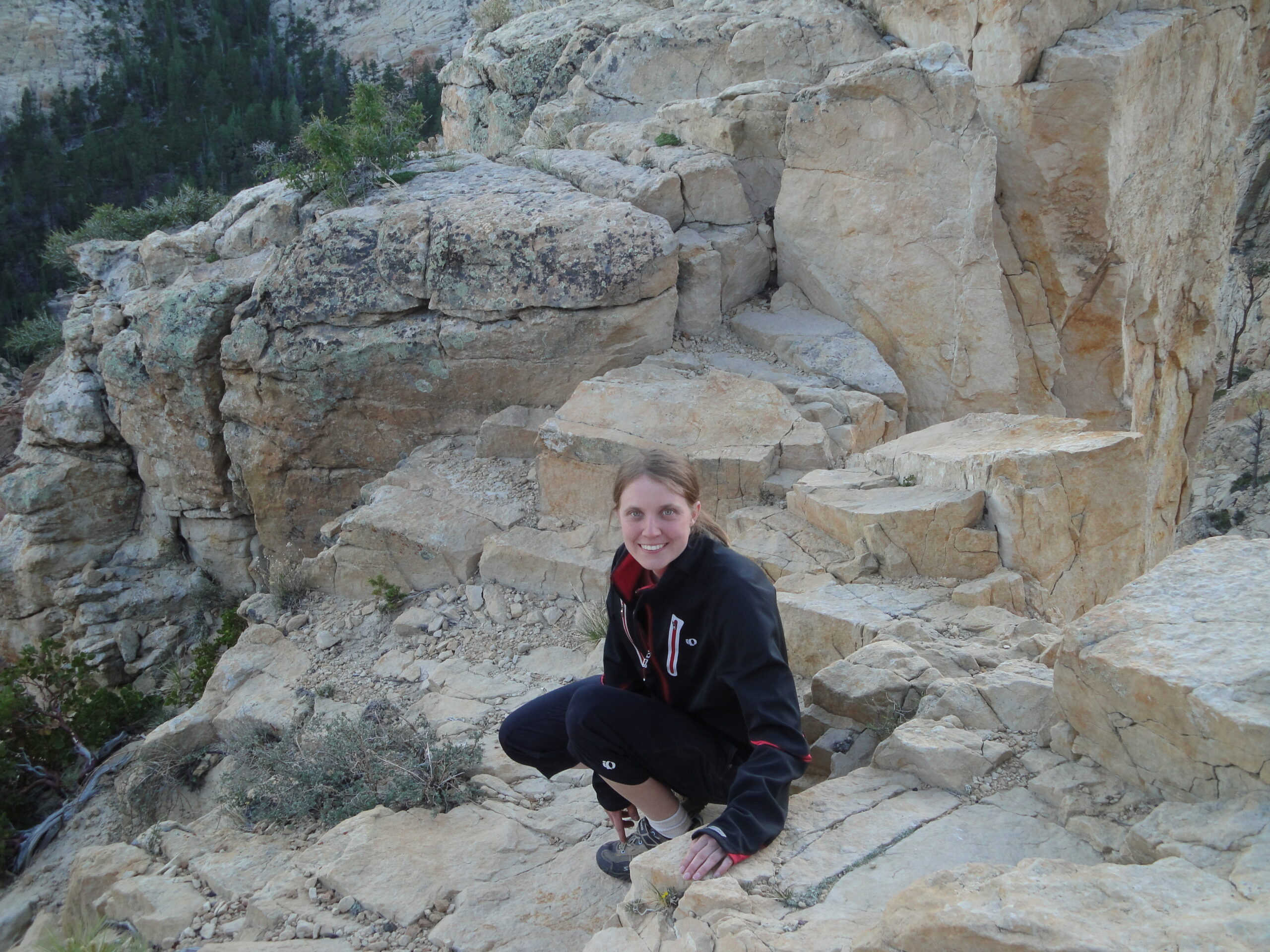
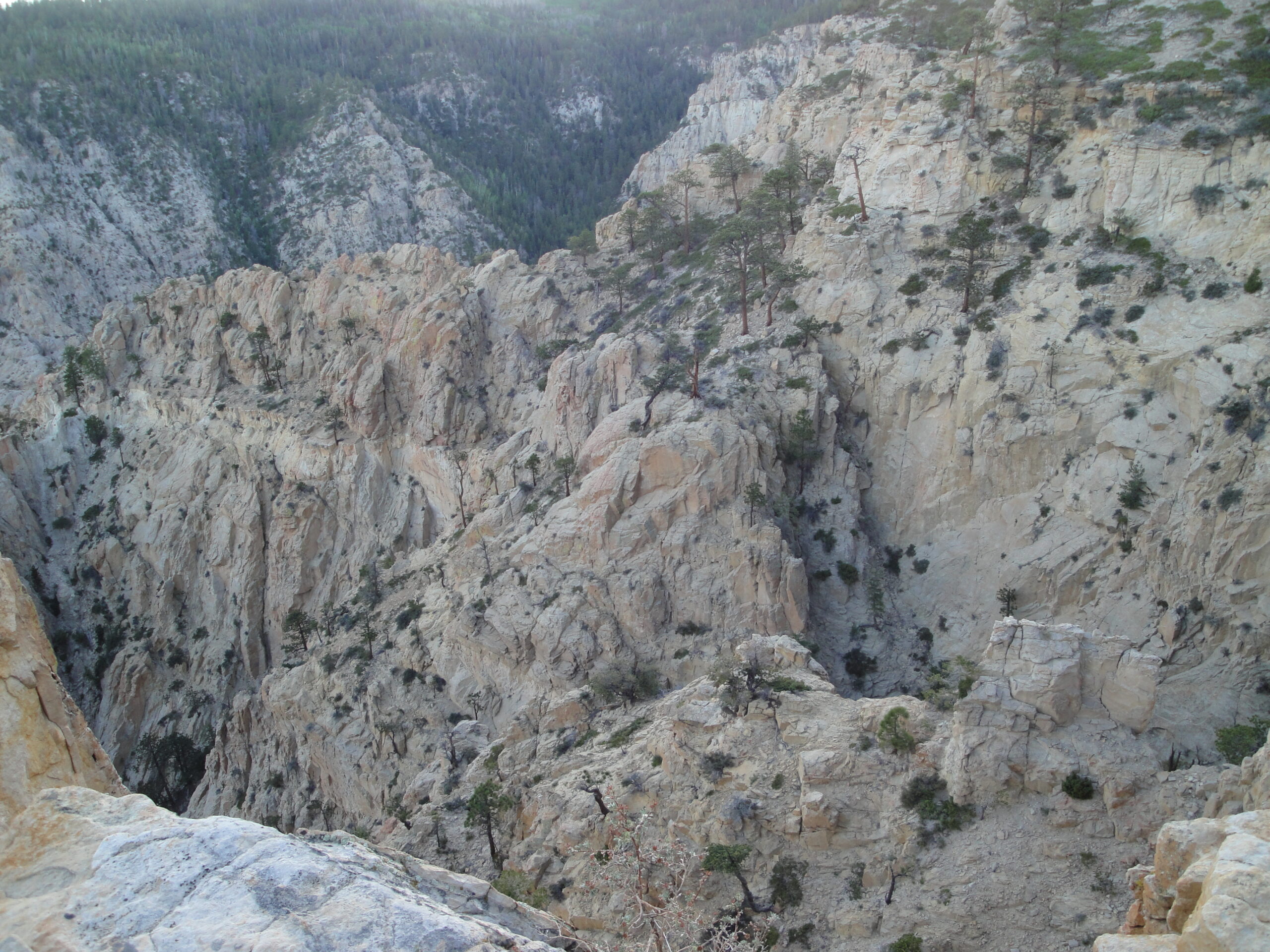
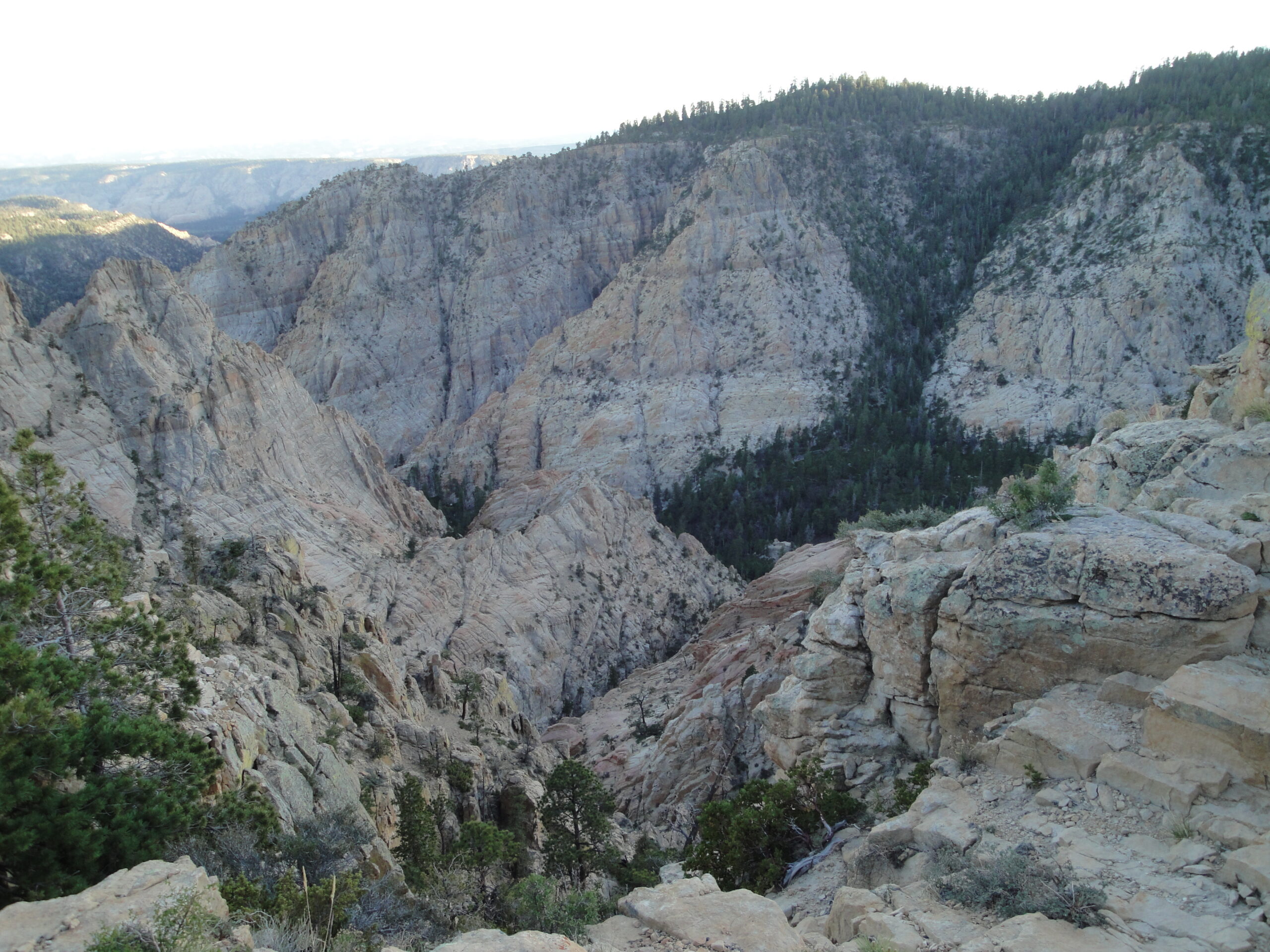
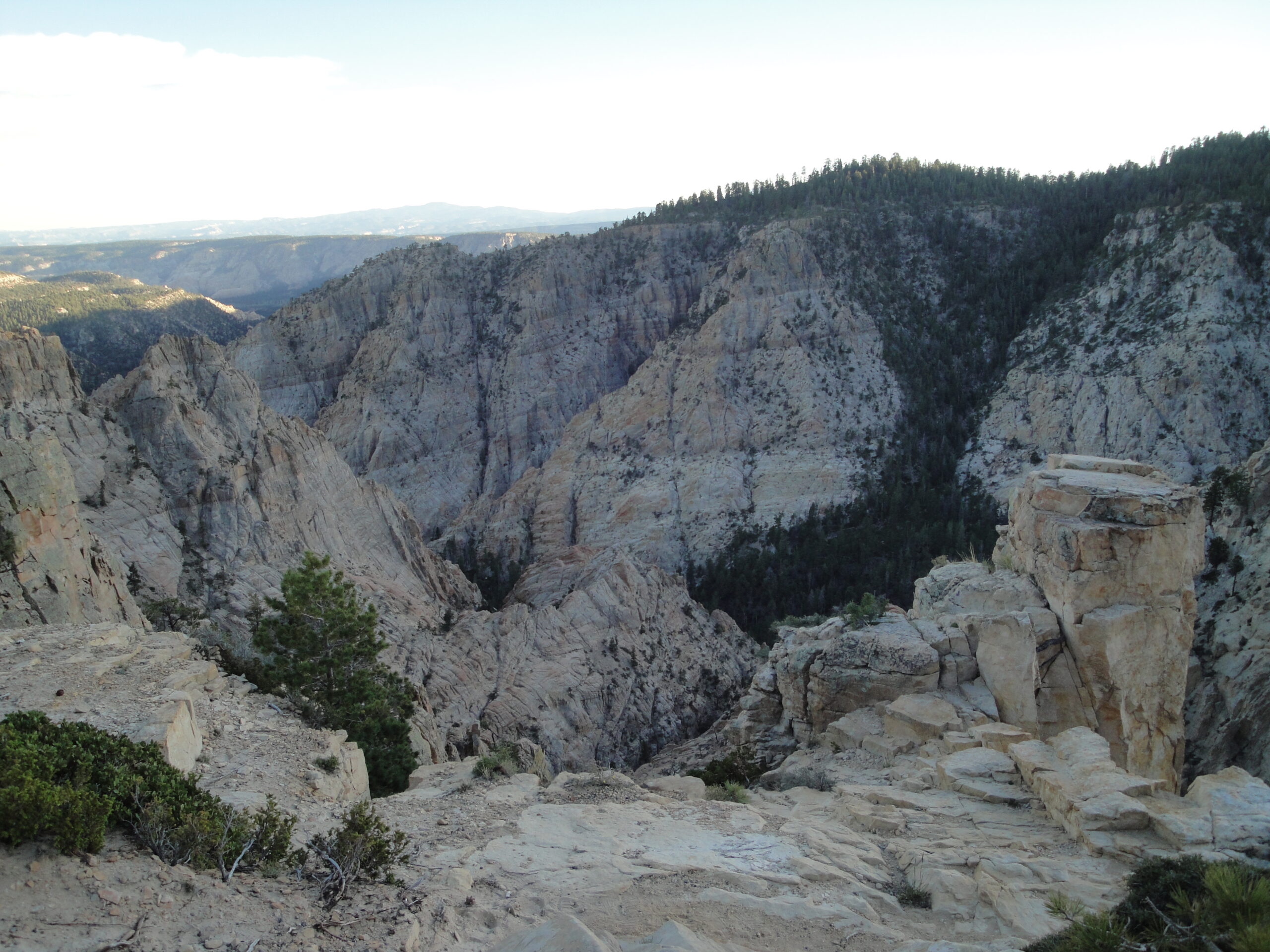
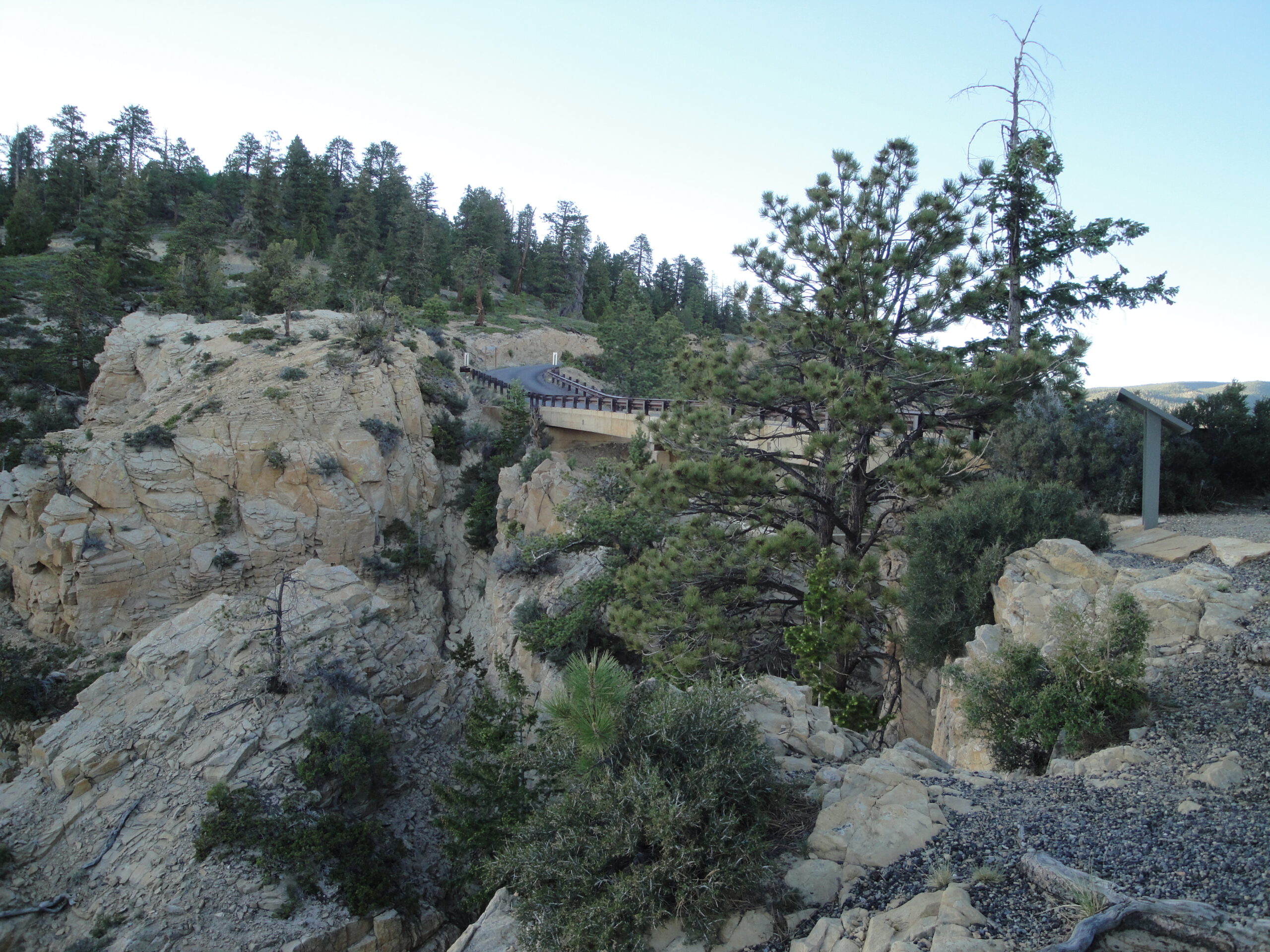
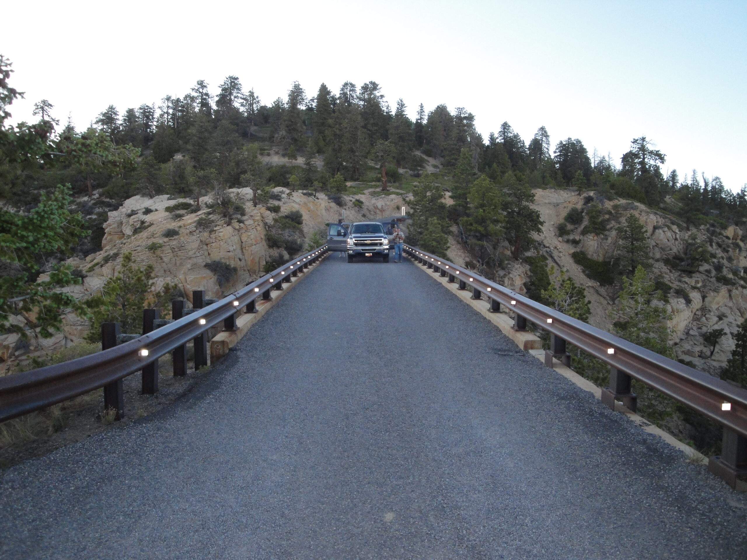
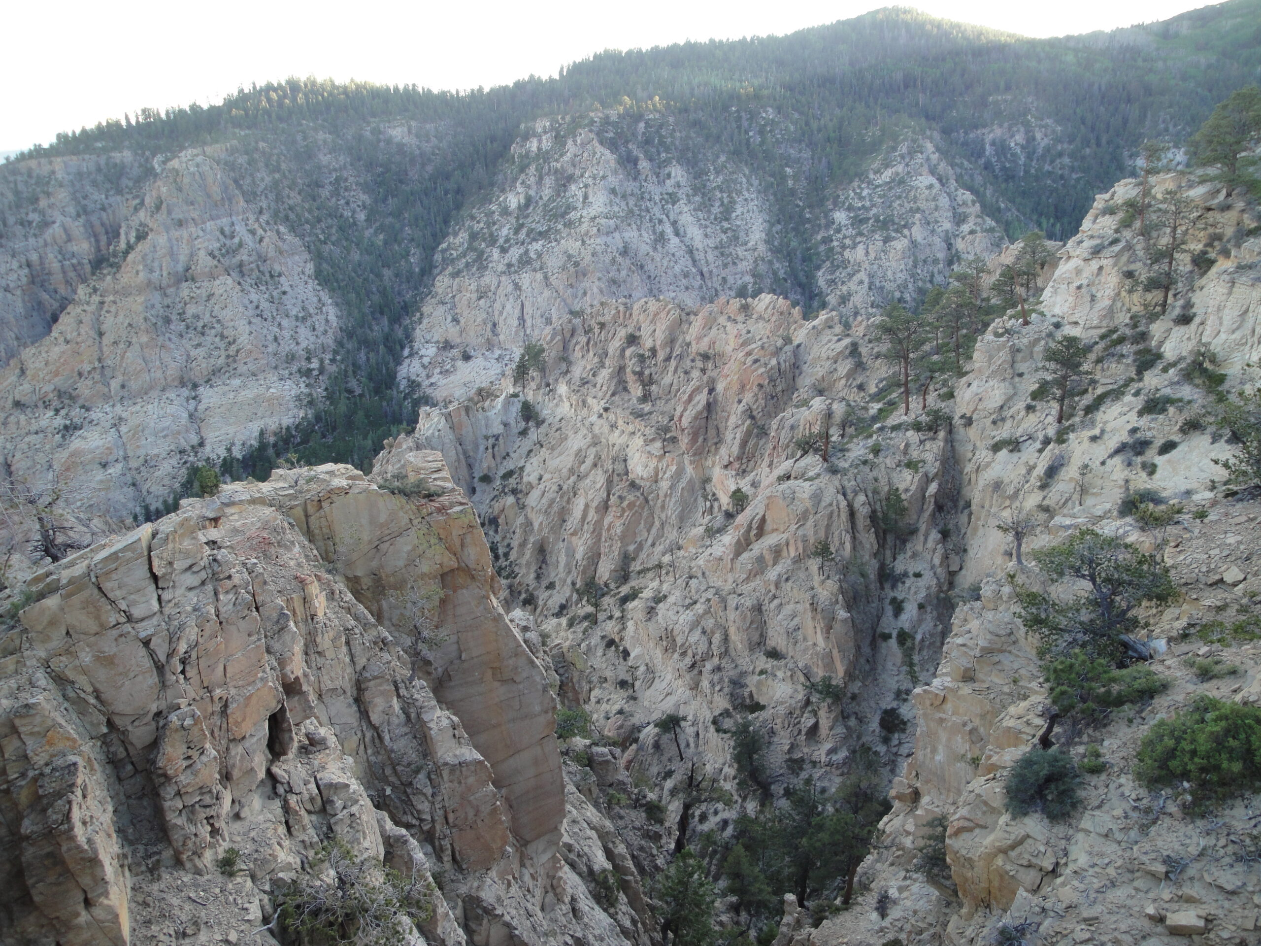
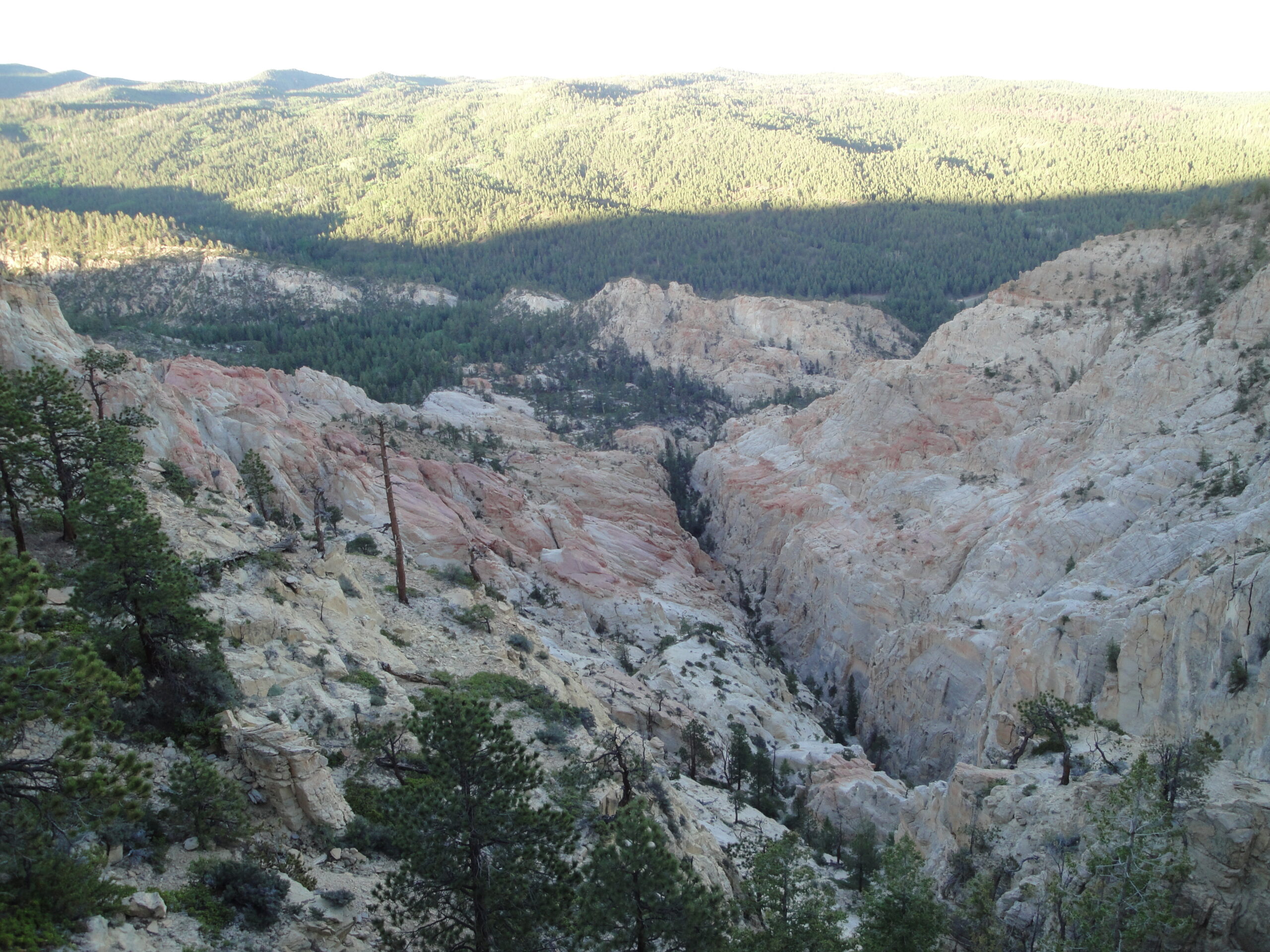
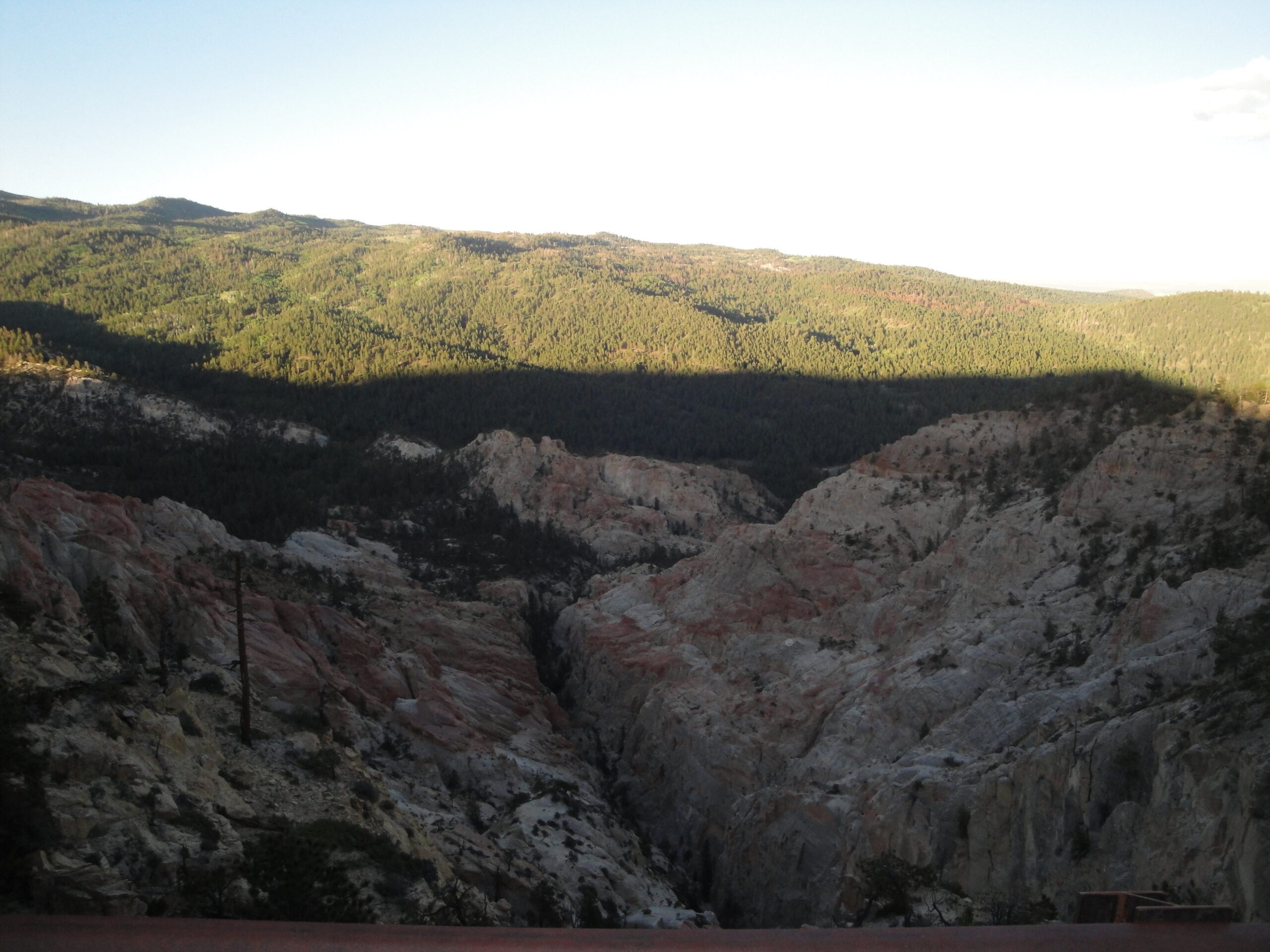
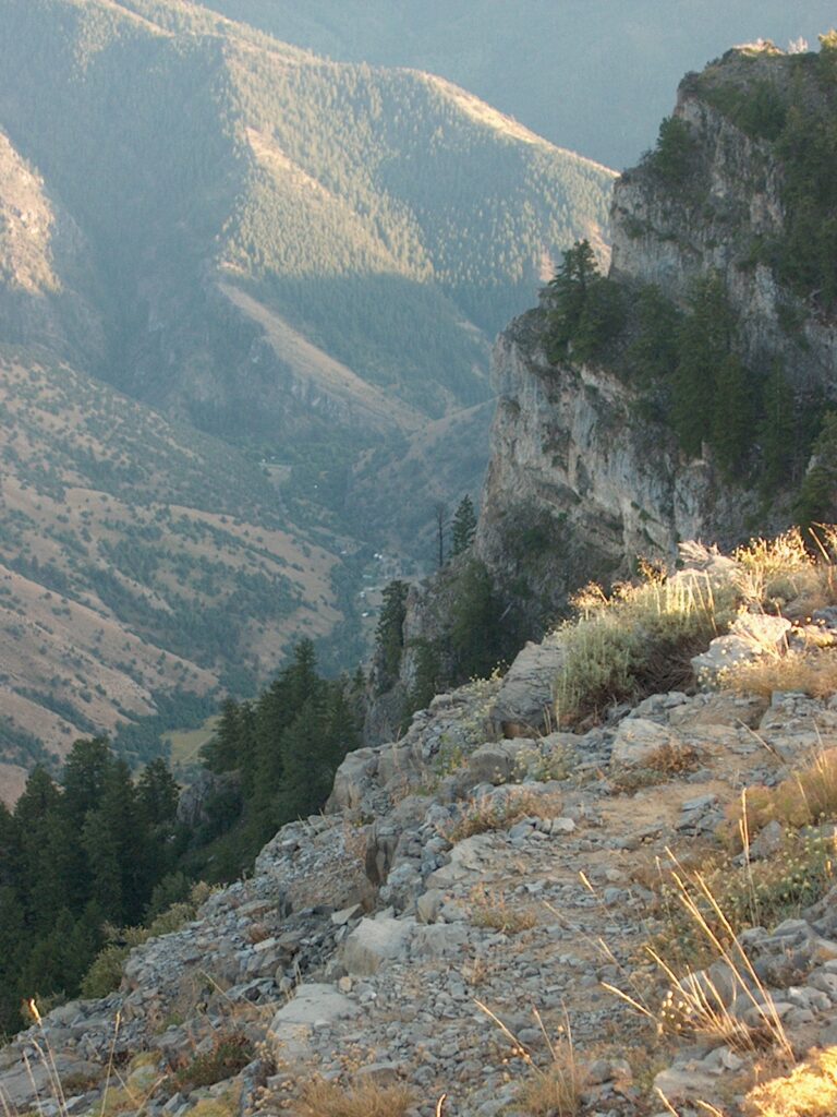
Also as a family we went to Hell’s Backbone which is a narrow bridge at the top of two deep canyons. The cliffs were a couple of thousand feet down on both sides of the bridge which made the view breathtaking. My mother had the idea of driving to Hell’s Backbone but the cliffs turned out to be almost too much for her. The drive just made my mother stressed because she was worried that we would fall deep into the canyon.
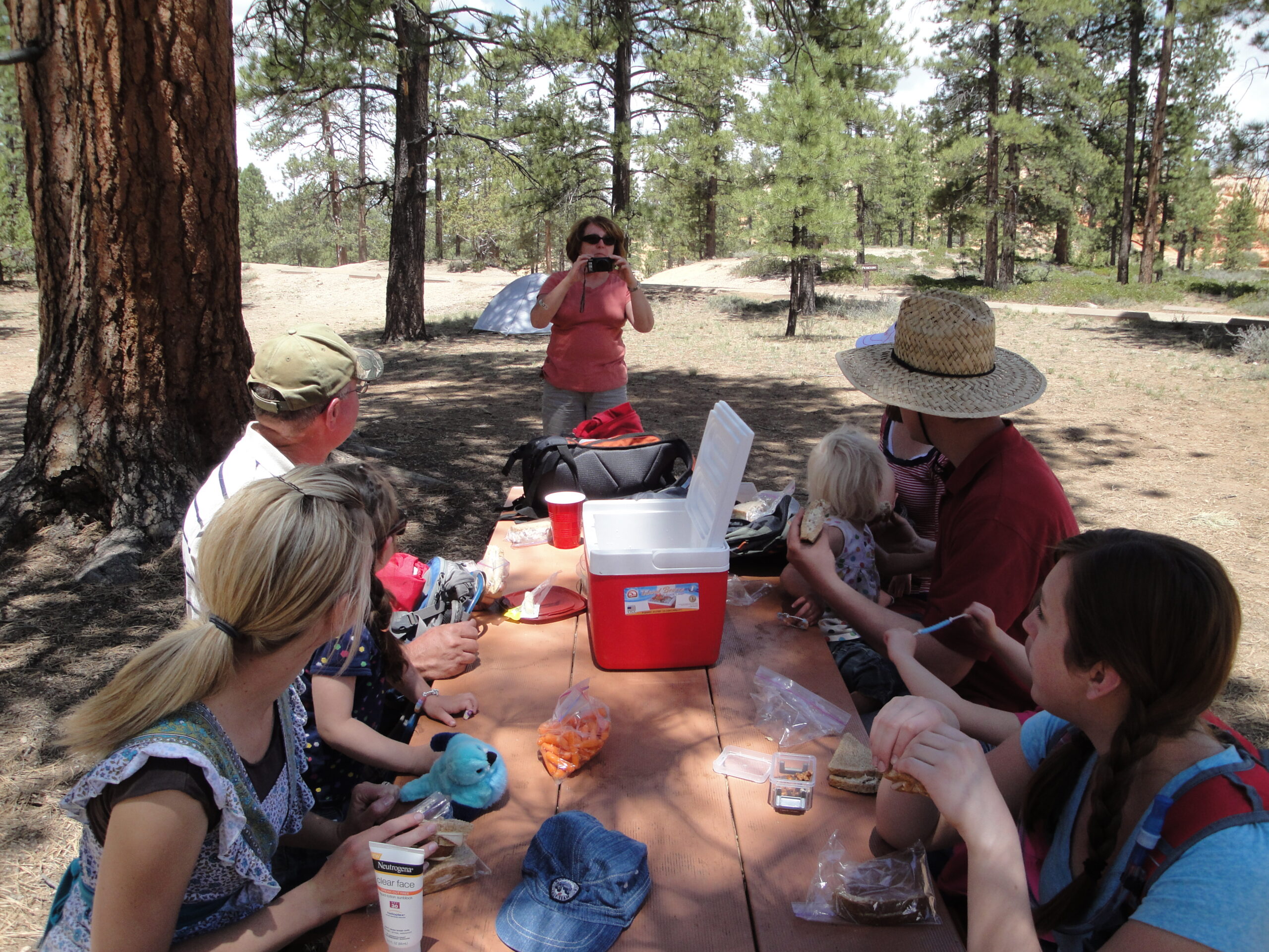
The people that went were: Amber, Joe and their children, Me and Kristie, and Brent and Connie.
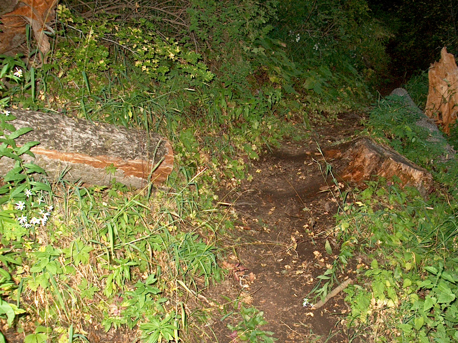
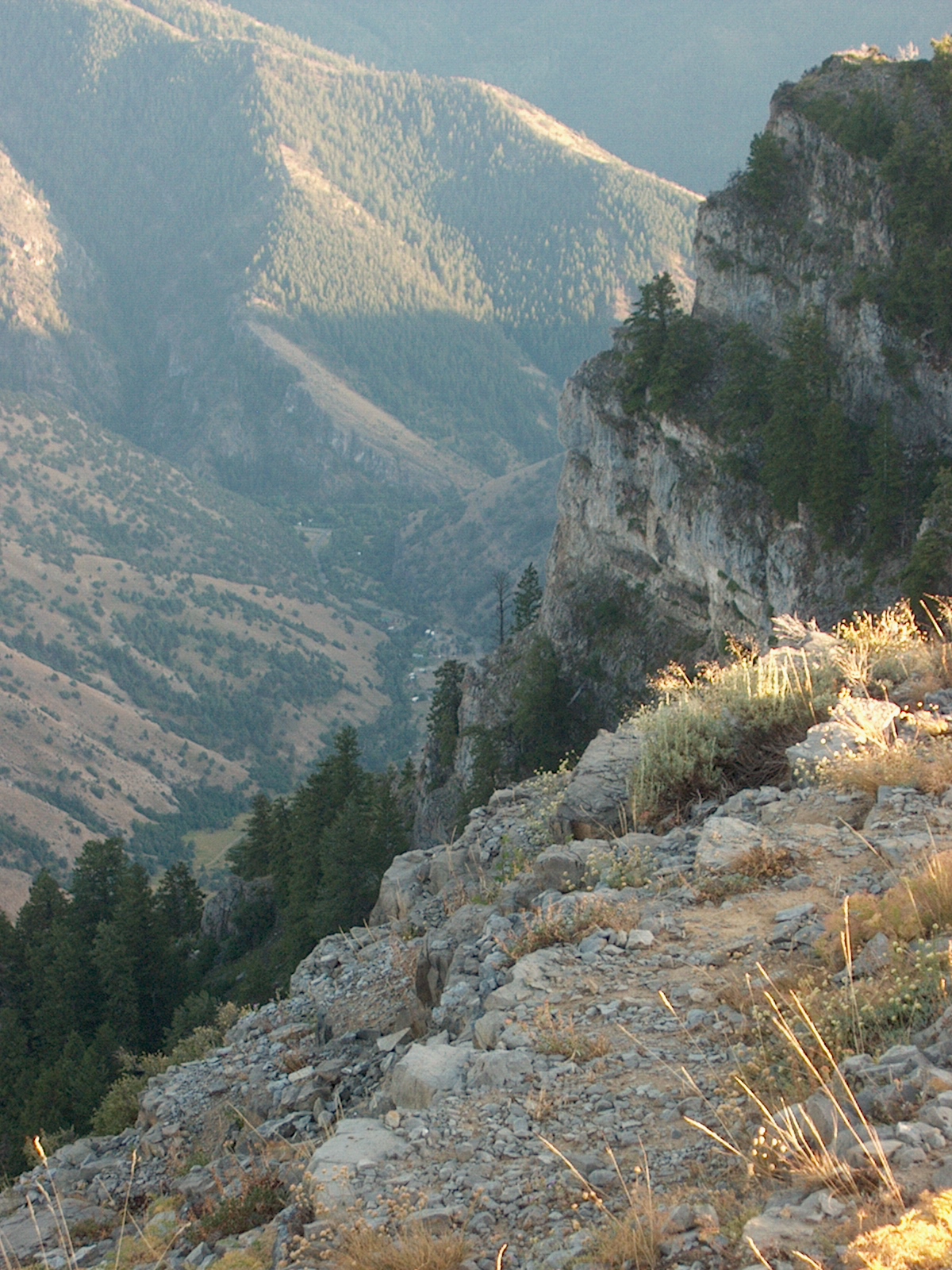
For my Memorial Day activity I chose to do a big long ride. The plan was to go on the trail from Providence Canyon to Millville Canyon by way of the trail that follows the contour of the mountain. I last rode the contour trail three years ago in October. I had since forgotten how technical the trail was to do, and to make sure I don’t forget how technical the trail was I feel that I must describe the situation of the trail.
The contour trail is full of extremely short fast climbs and very fast descents. The situation is the same on both the Providence side and the Millville side of the trail. Not only that, but I almost broke a spoke when a stick went into the wheel. I just so happened to luck out today because the hike out of there would have taken a very long time. On the Millville side I was surfing with my rear wheel due to the extreme slope. When I finally dropped onto the rode in Millville Canyon I was much lower on the rode than I though I would be and I had to ride up a significant amount of 30% percent grade. I survived the trail and proceeded to drop through Leatham Hollow.
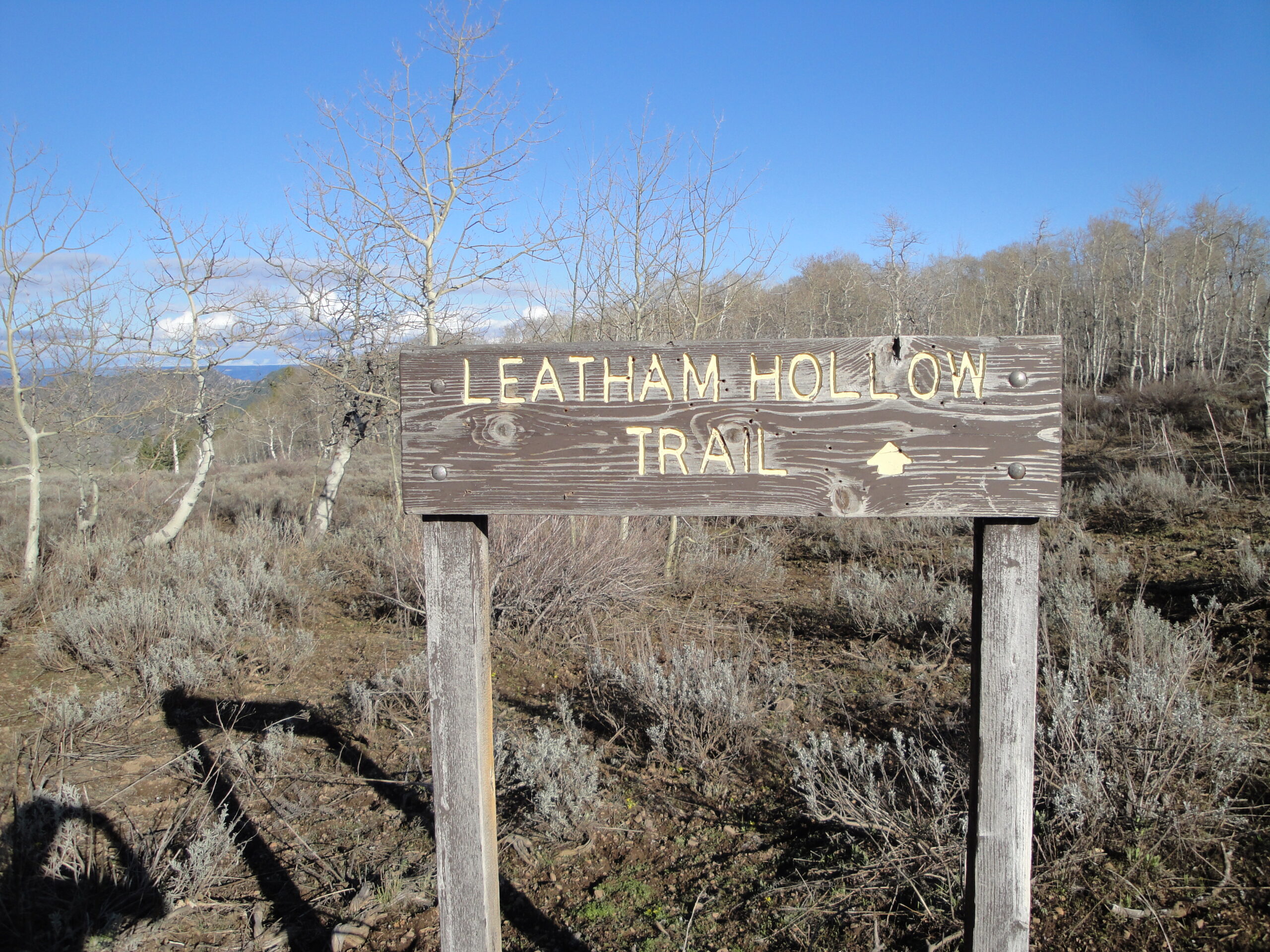
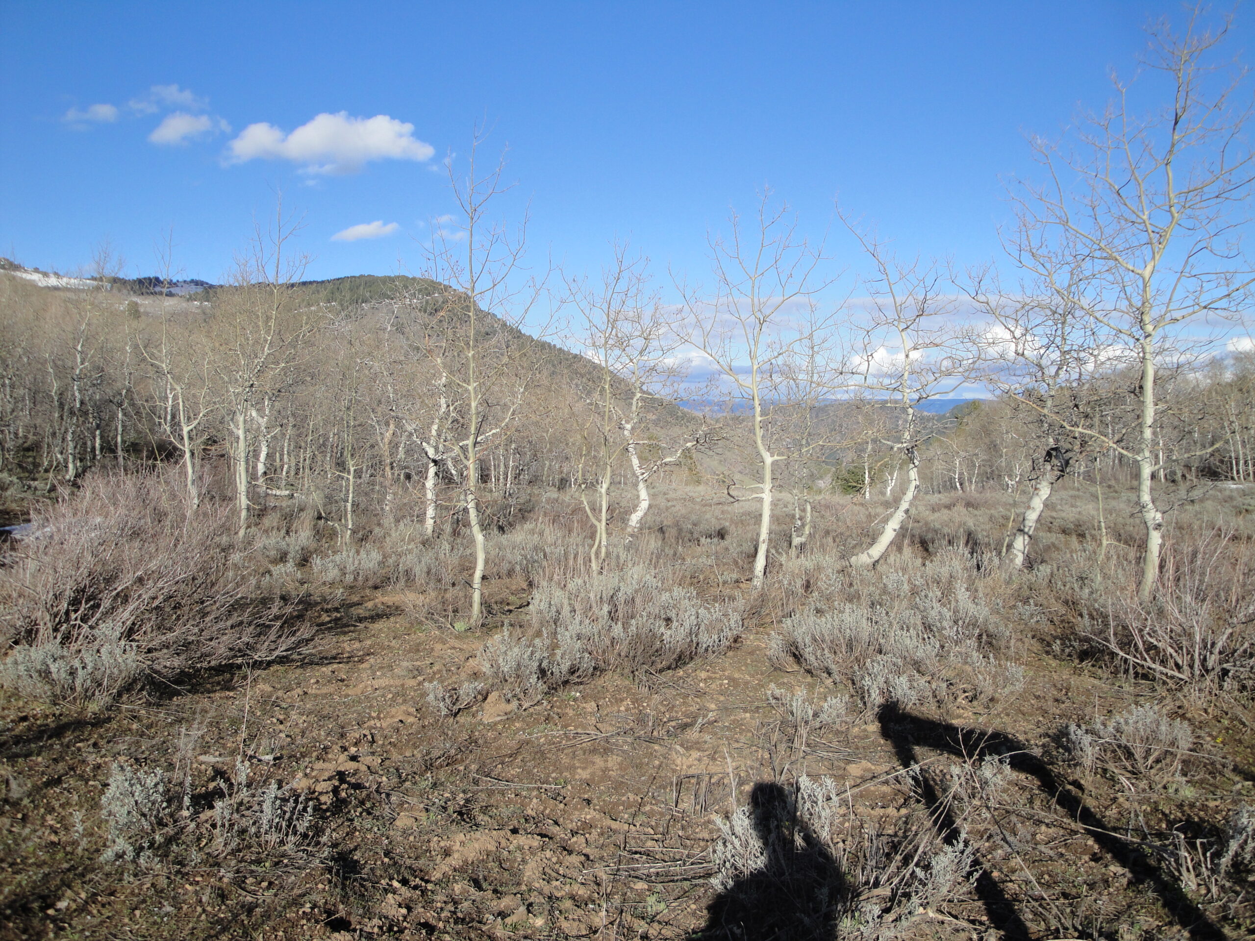
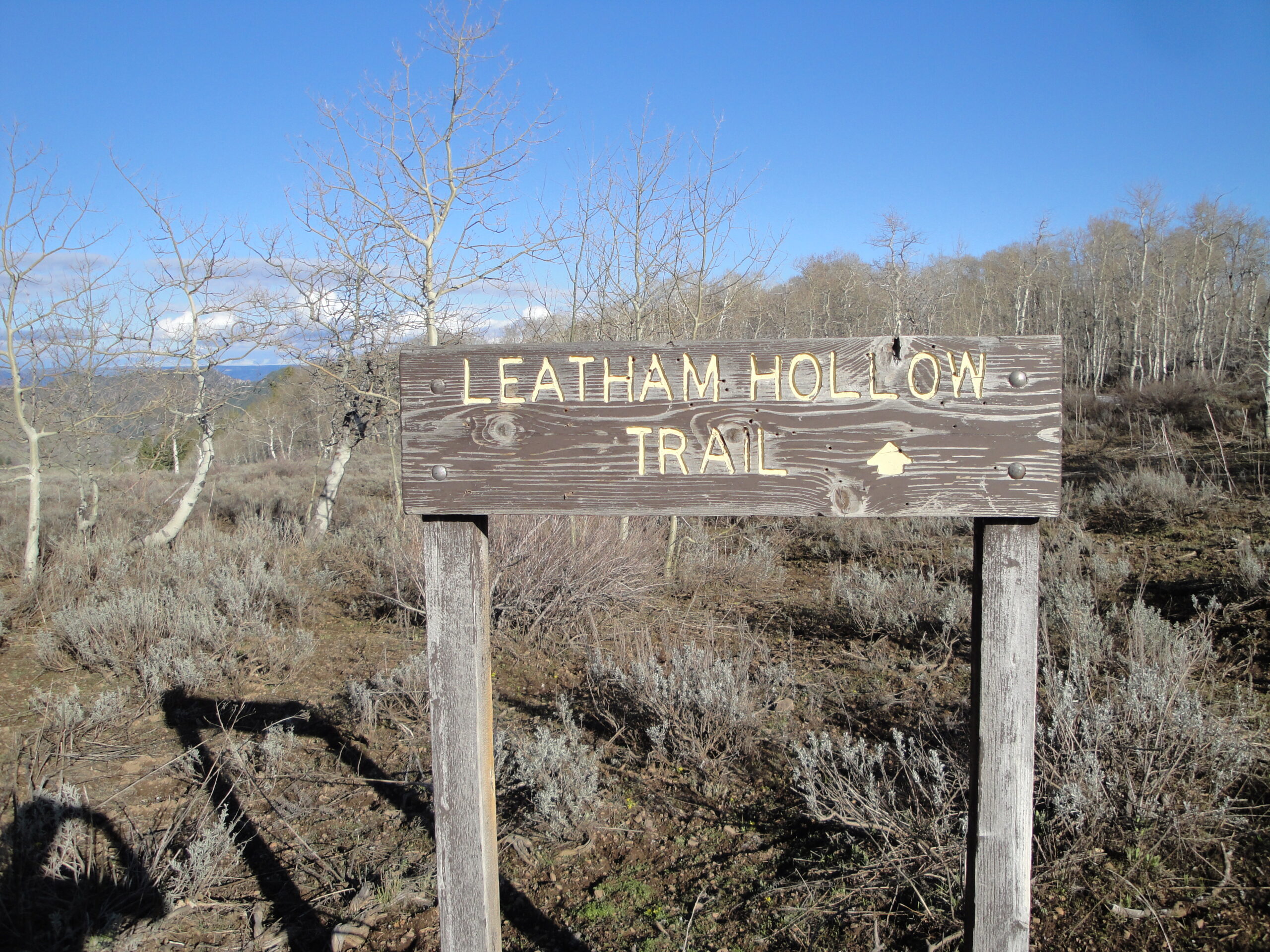
Leatham Hollow is just as bad as it has always been. There are really nasty rocks on the lower mile of the trail and that hasn’t changed in 4 years. At the bottom of Leatham Hollow there was a rendevous being held. I didn’t pay much attention to the rendevous and headed towards Richards Hollow as quickly as I could as I was running a little behind on time.
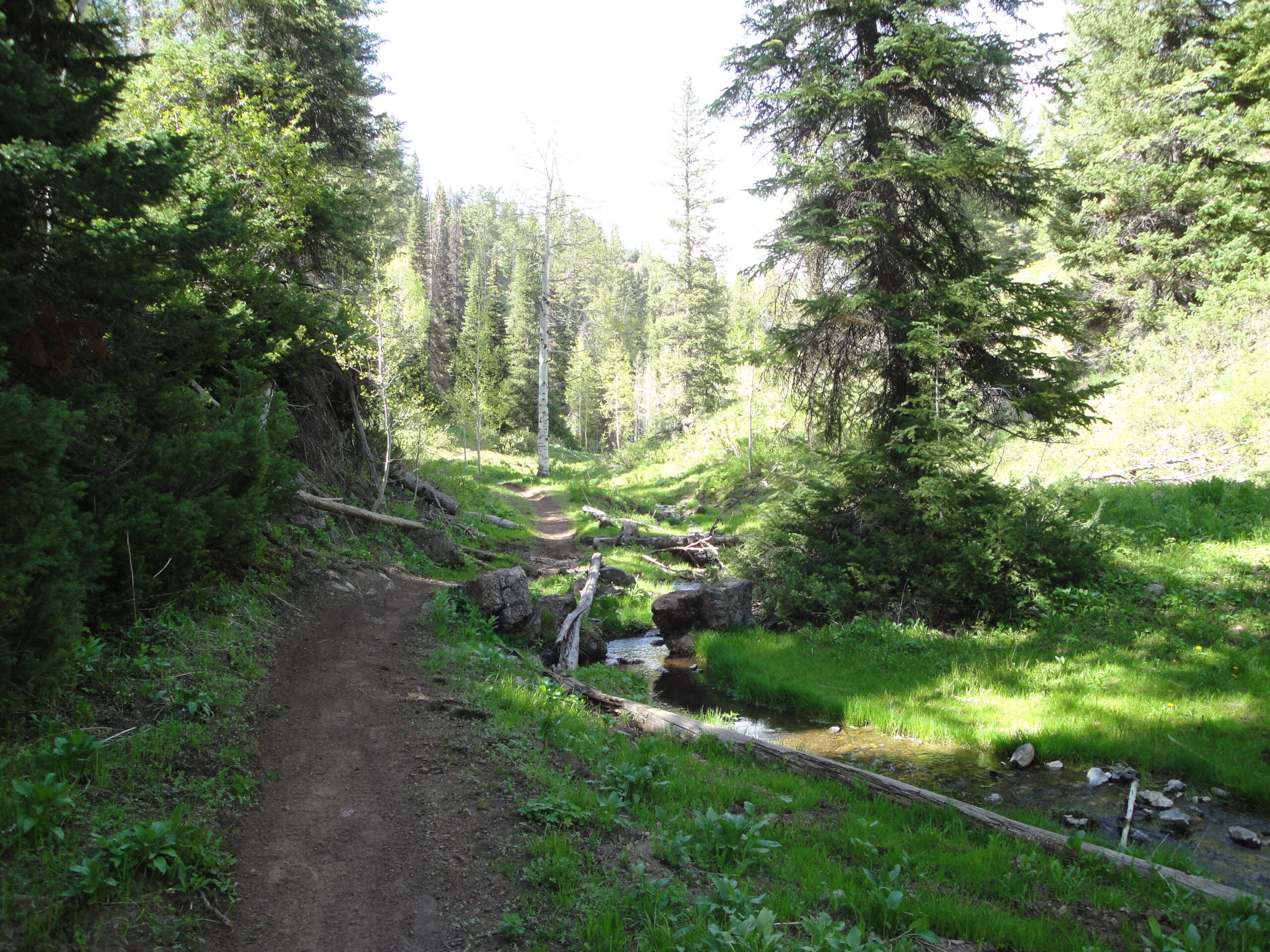
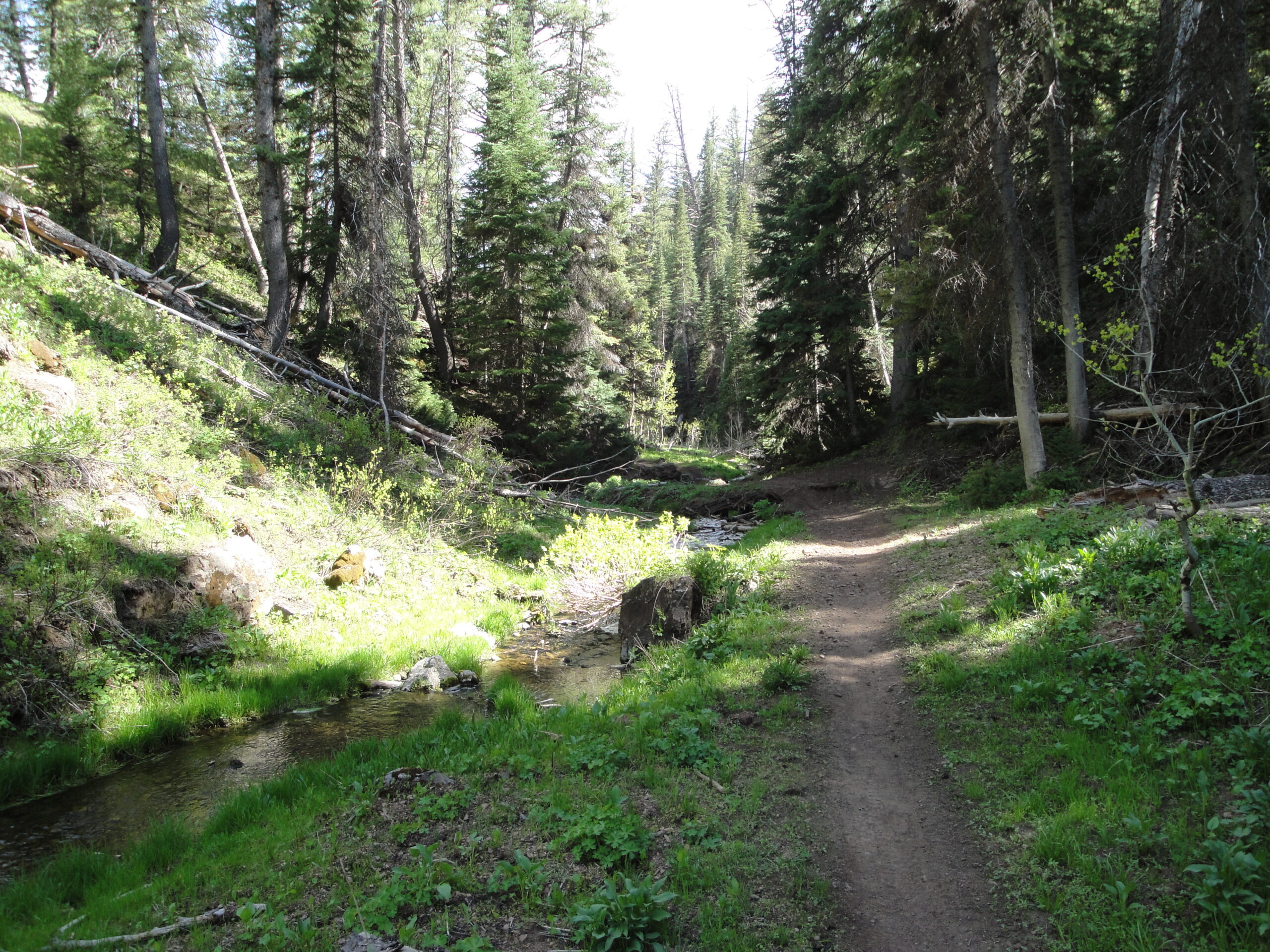
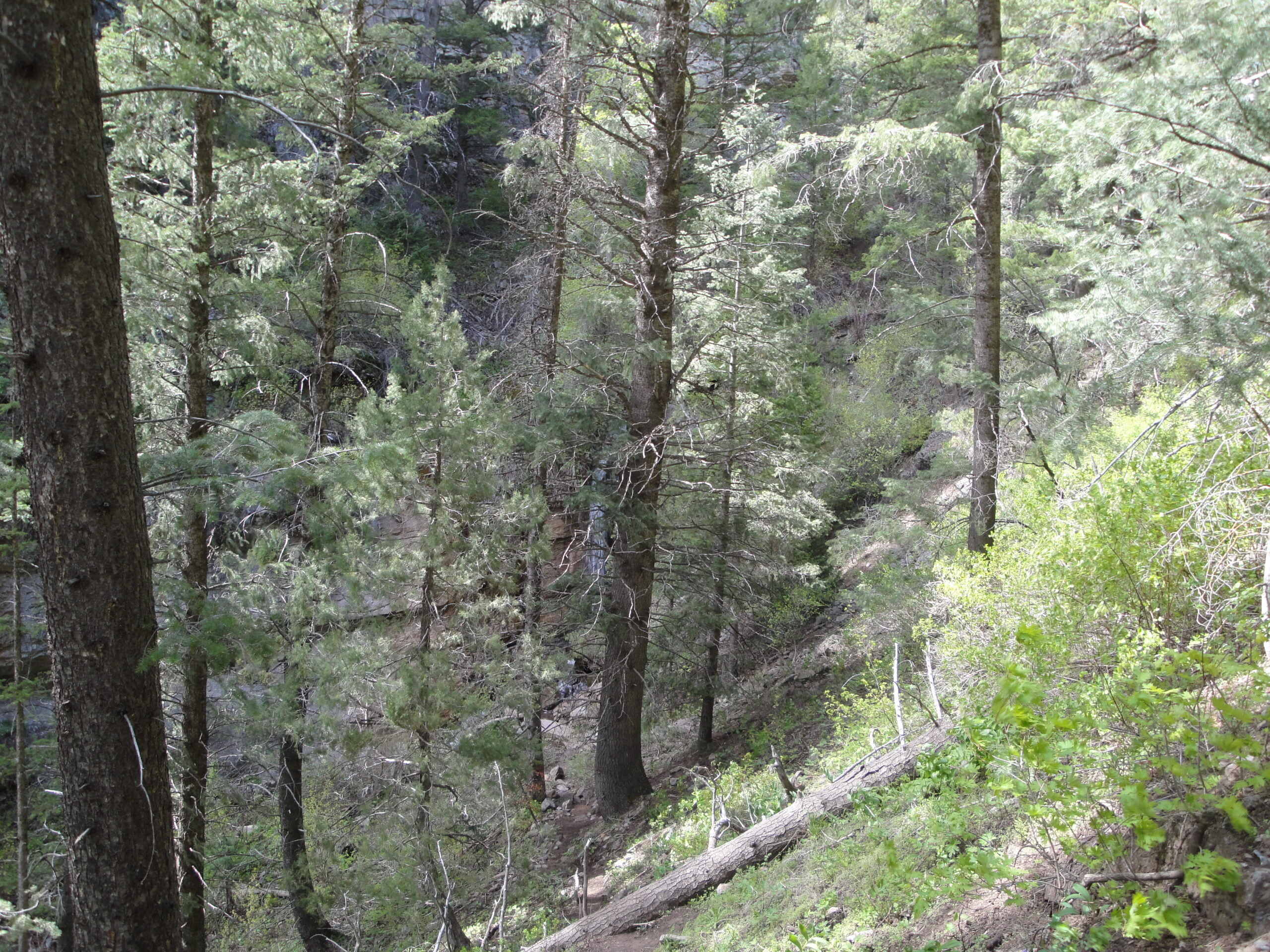
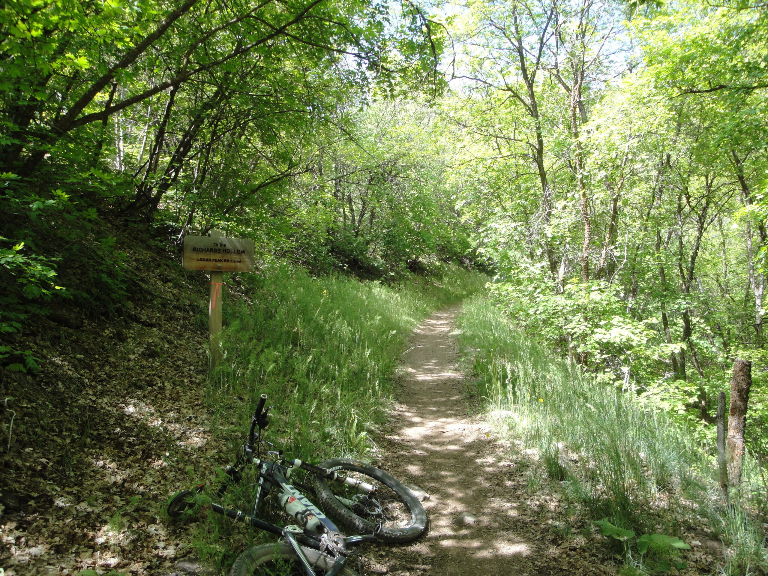
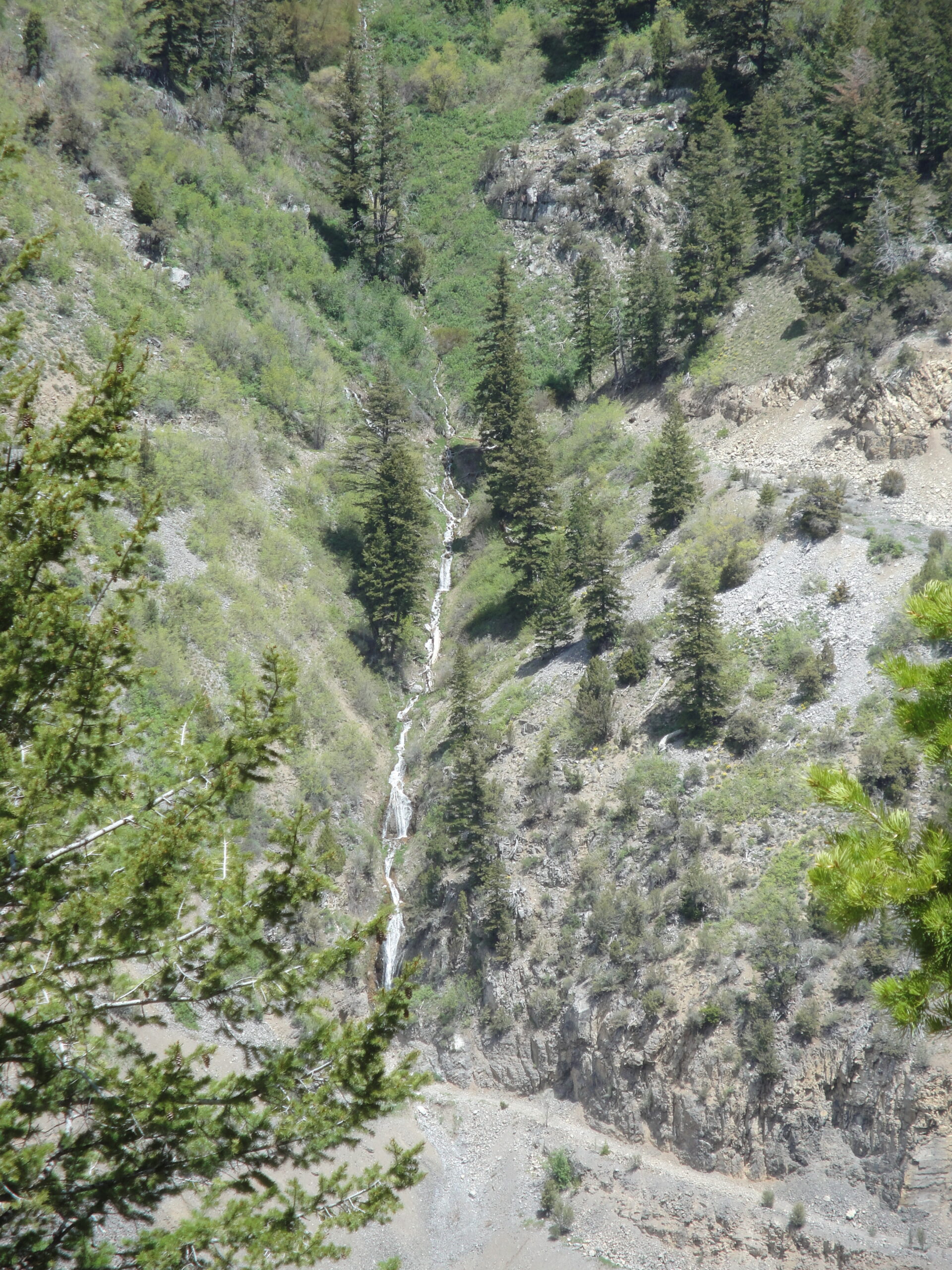
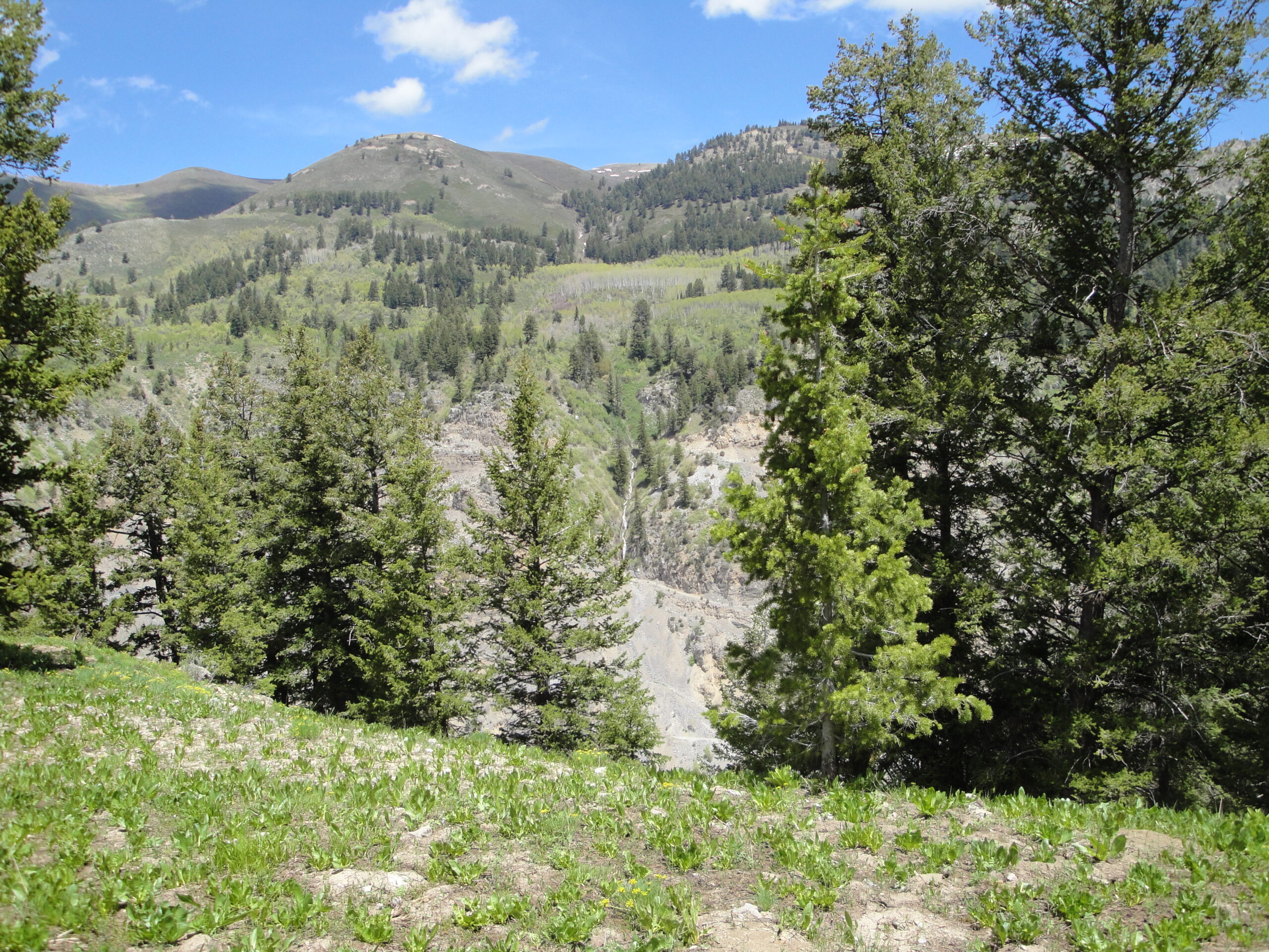
The bottom 1.5 miles of Richard’s Hollow is steep and a good climb on the bike. Once I was past the water fall the trail mellowed out and was a nice easy grade for riding up. The next major climb was at the last half mile of trail which was steady but doable on tired legs. I was not wasting time and headed towards Card Canyon West. Card Canyon West was running my brakes hot and even though I have Shimano XT brakes with ice tech the brake fluid still heated up and changed the position of engagement of the brake lever.
I was quite happy when I reached the bottom of Card Canyon and turned left to ride down Logan Canyon. That meant that I only had about a 45 minutes to ride until I arrived home! At Third Dam I turned off of the rode and back onto trail until First Dam. I was very glad to be back home because my butt couldn’t hardly stand another minute on the saddle.
Least of all here is the ride details from the Garmin. The ride included 43 miles of peddling, and about 7,500 feet of elevation gain.
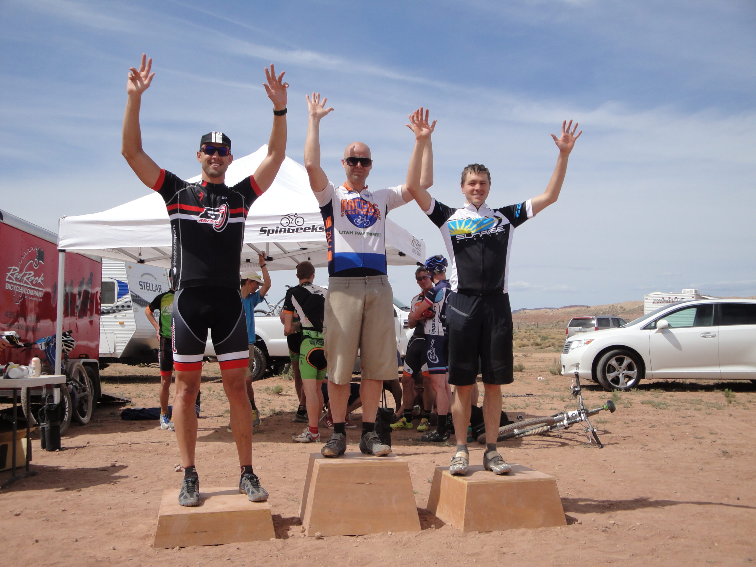
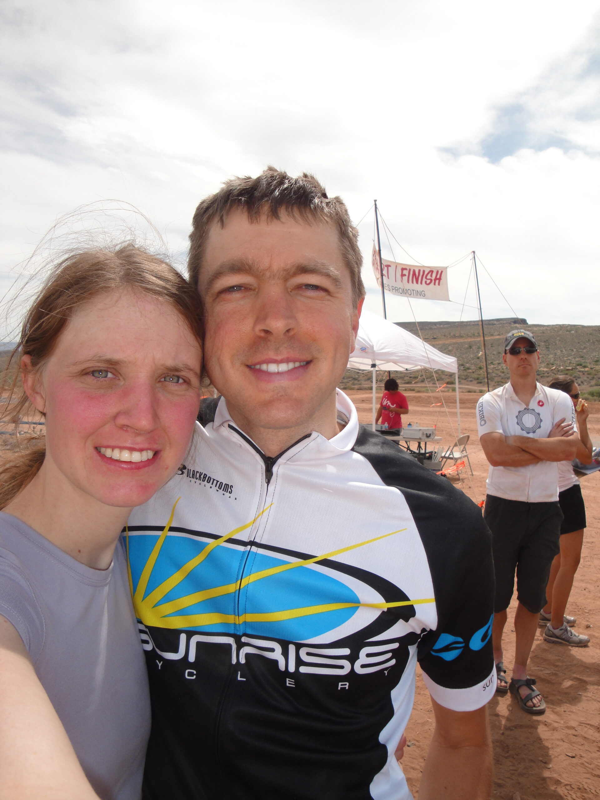
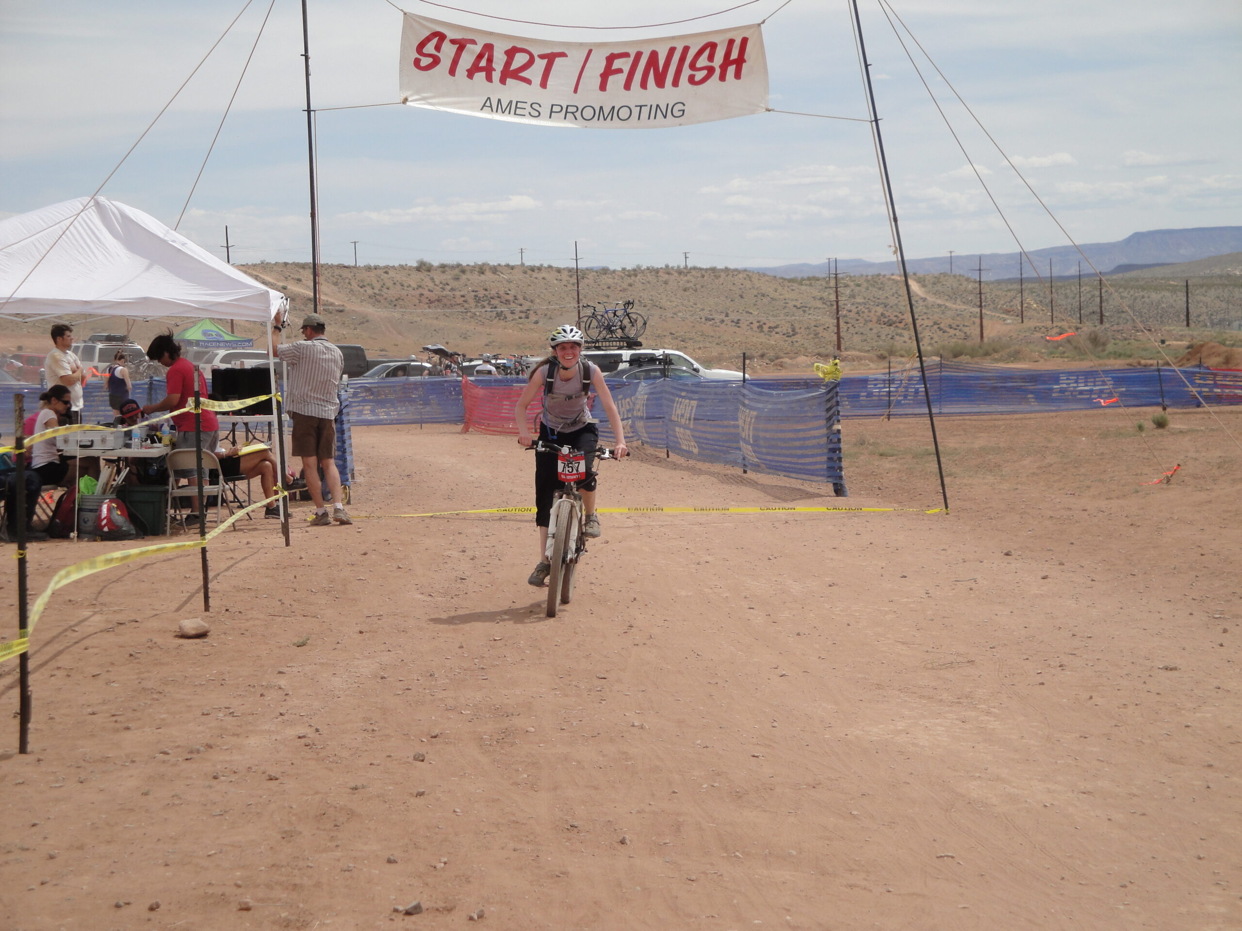
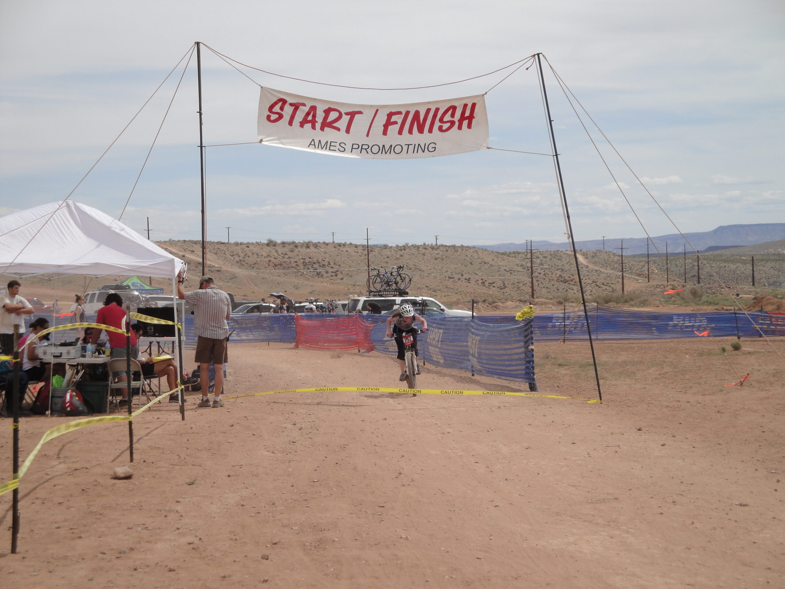
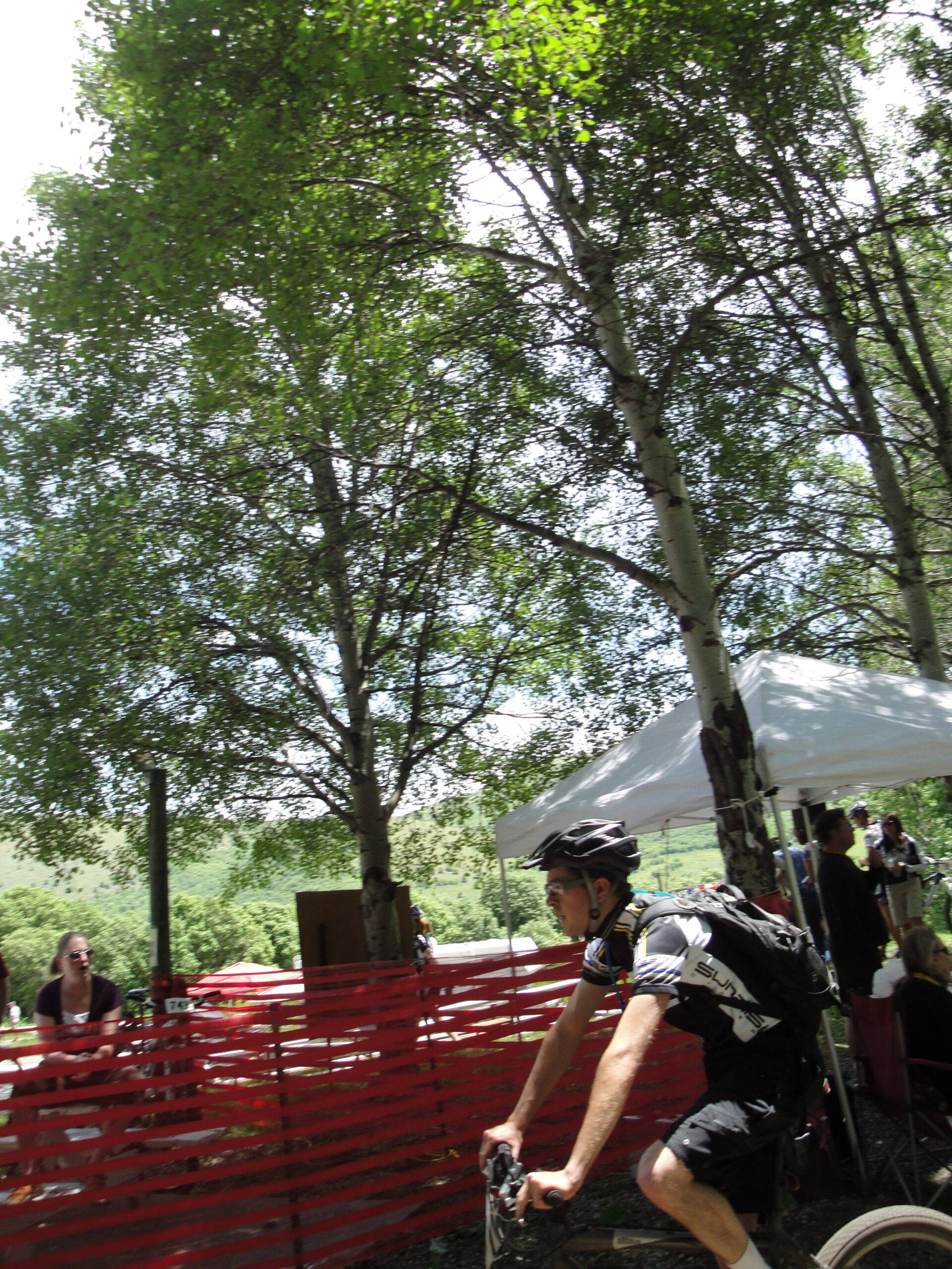
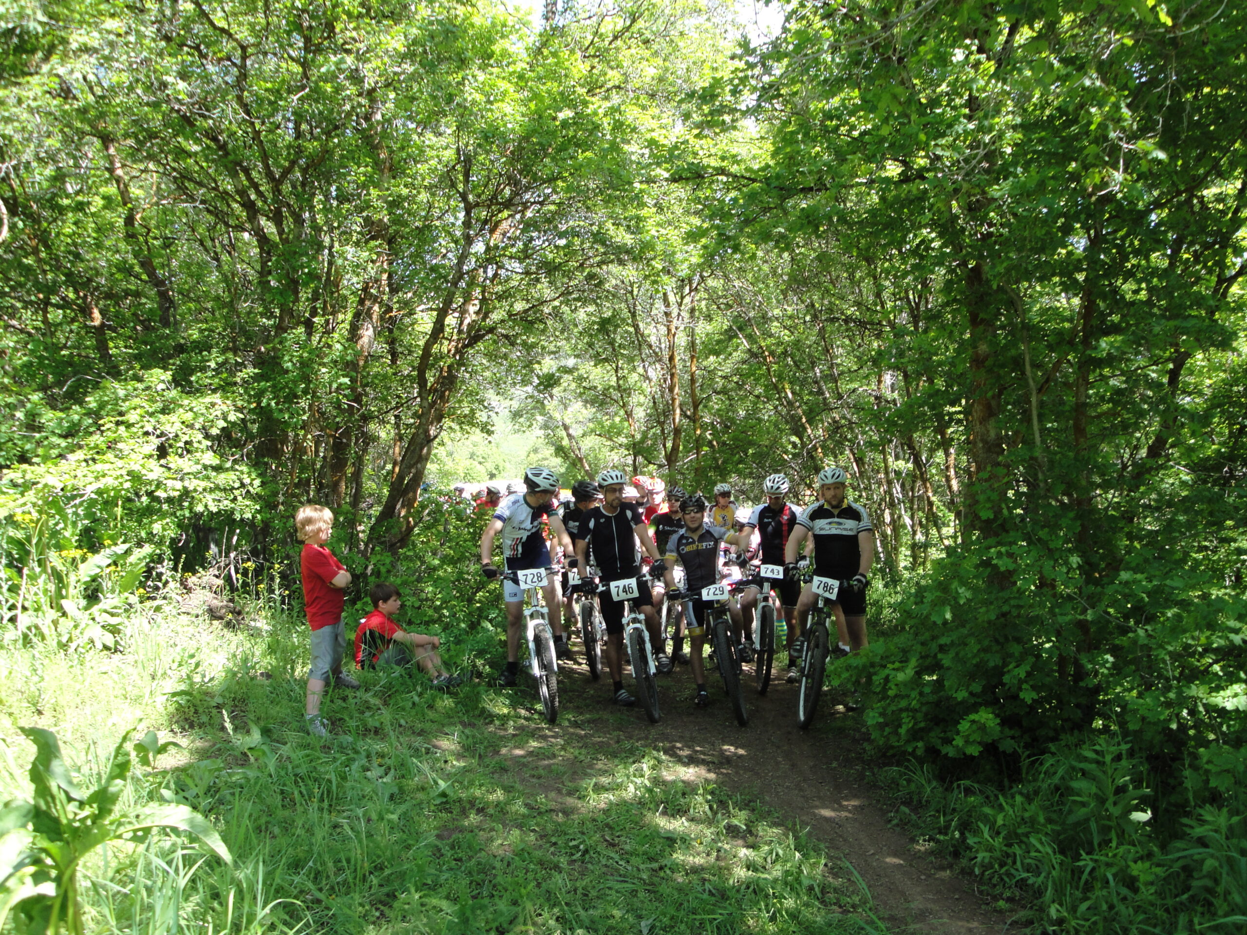
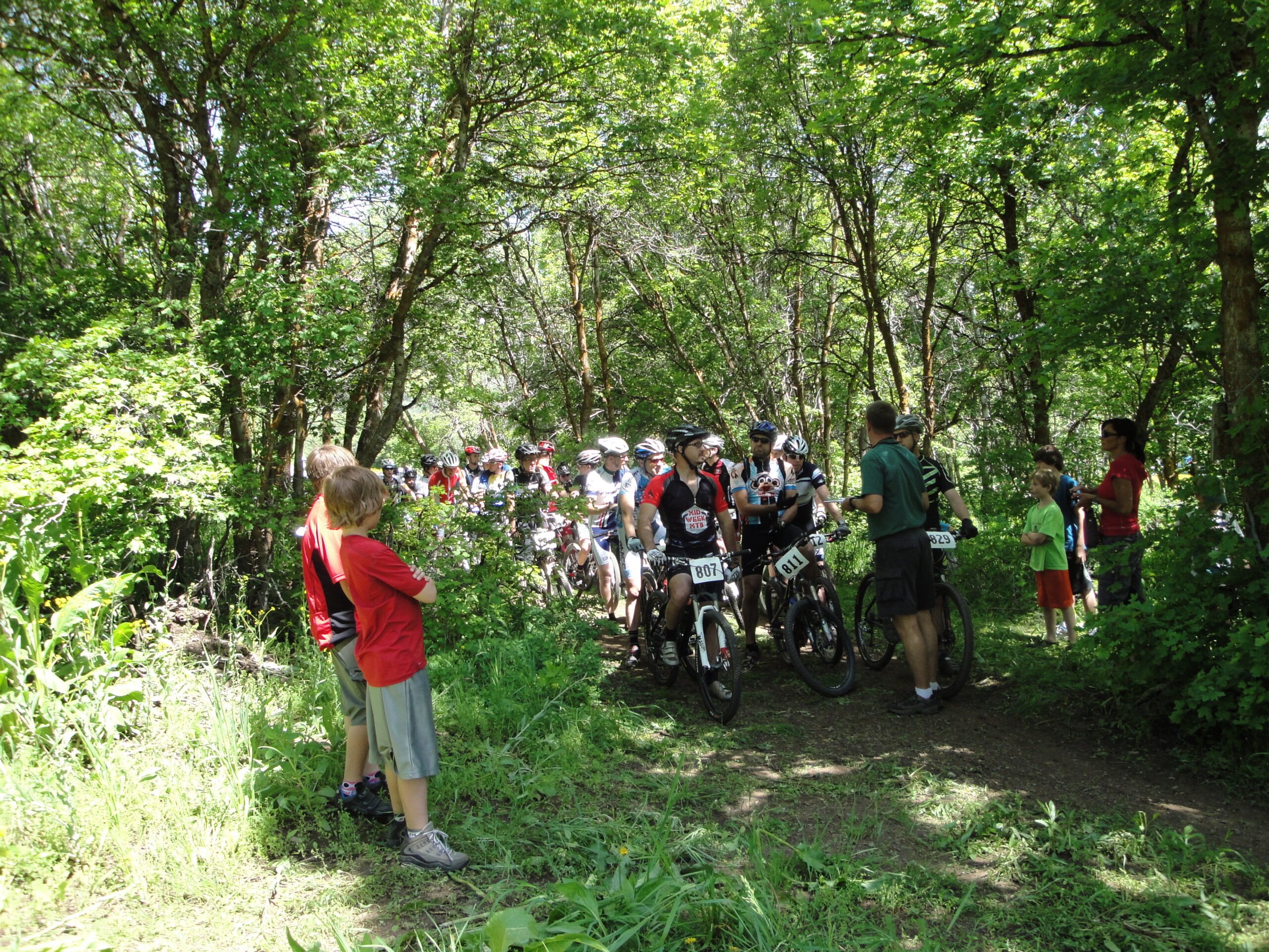
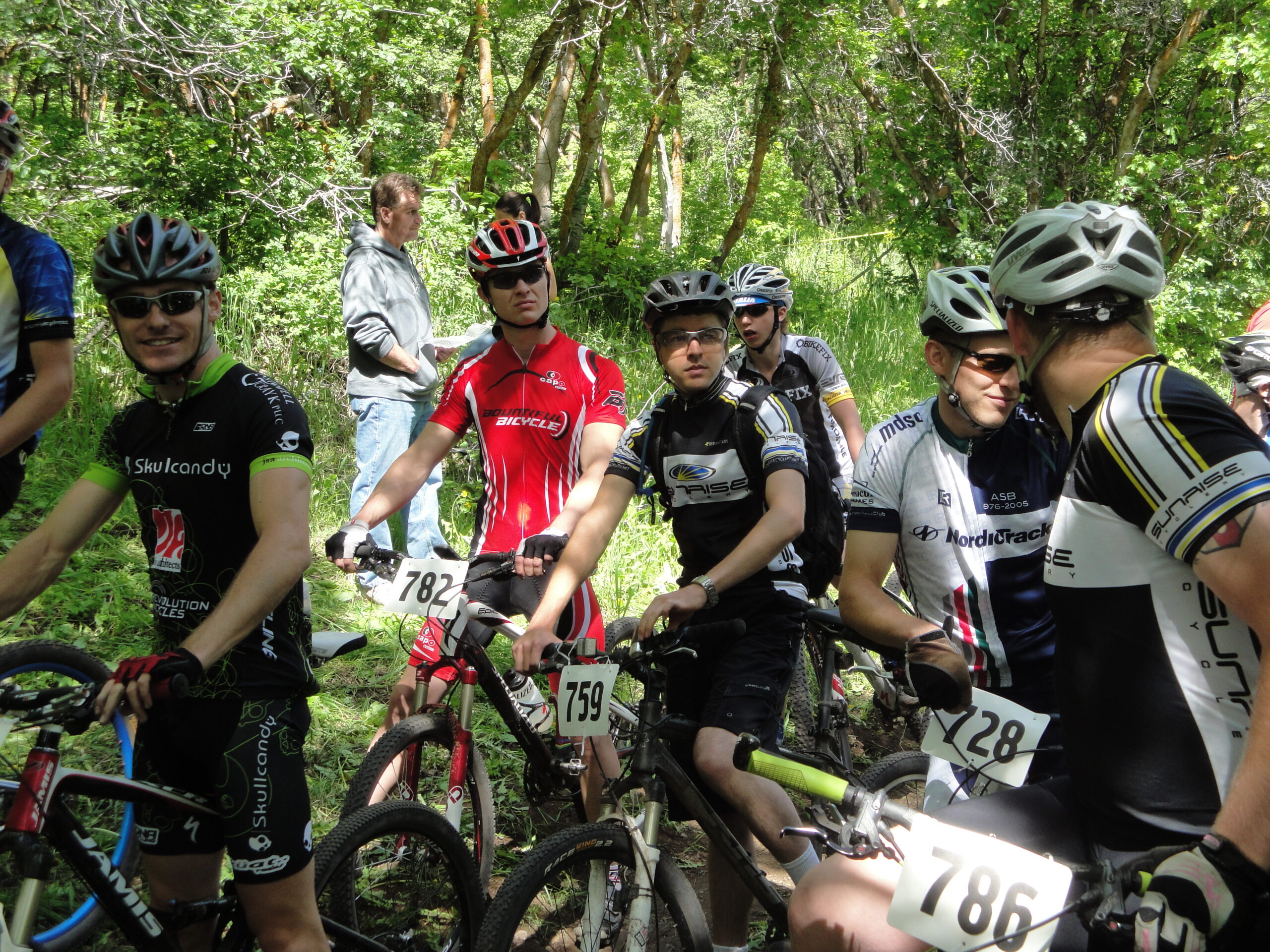
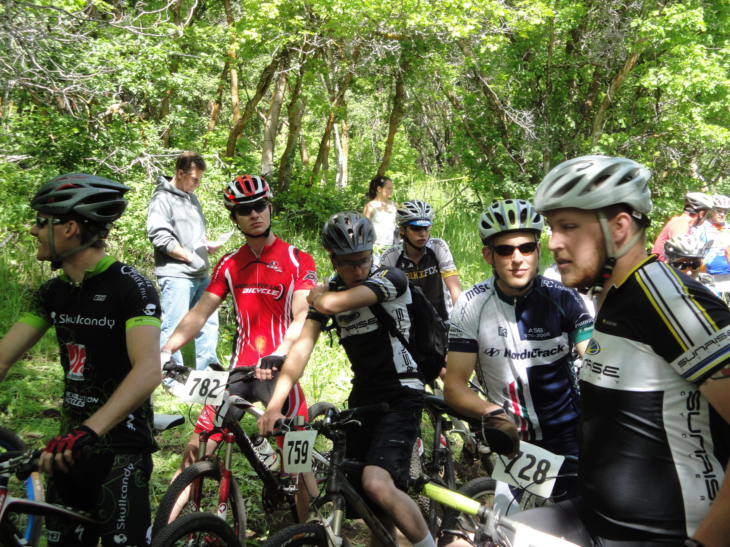
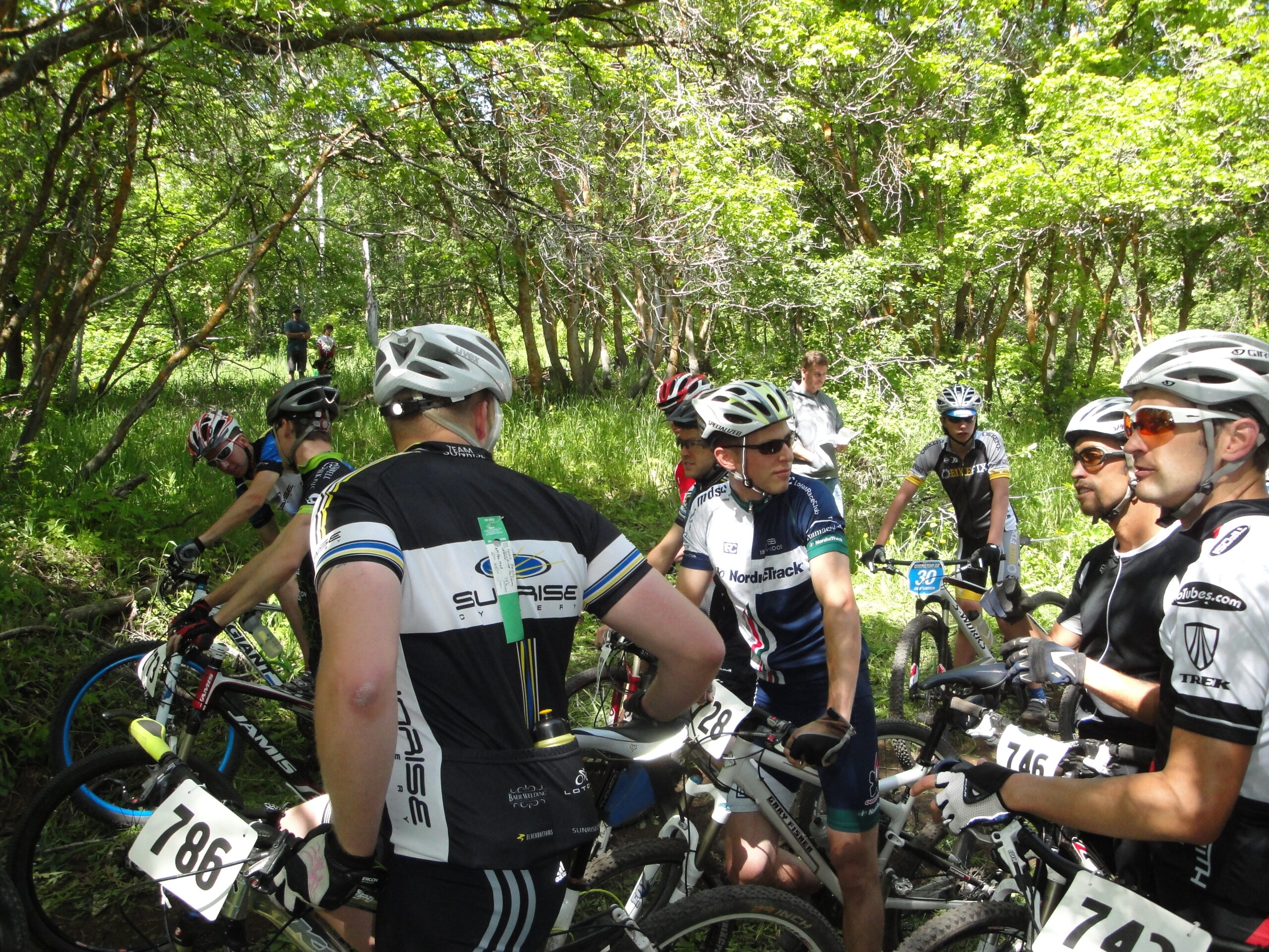
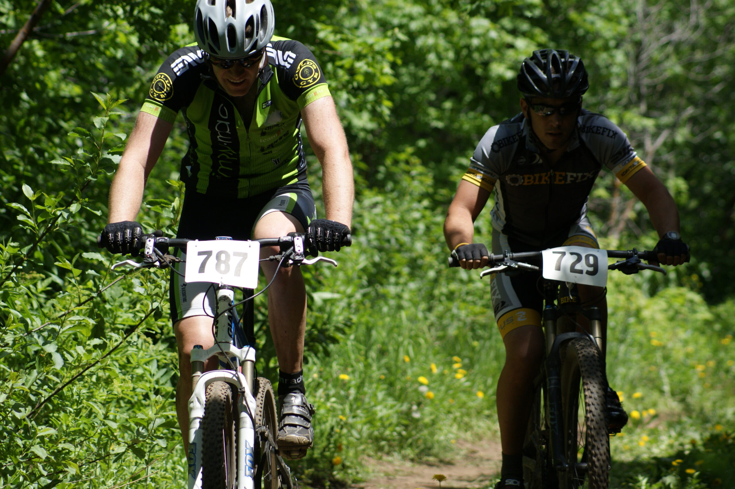
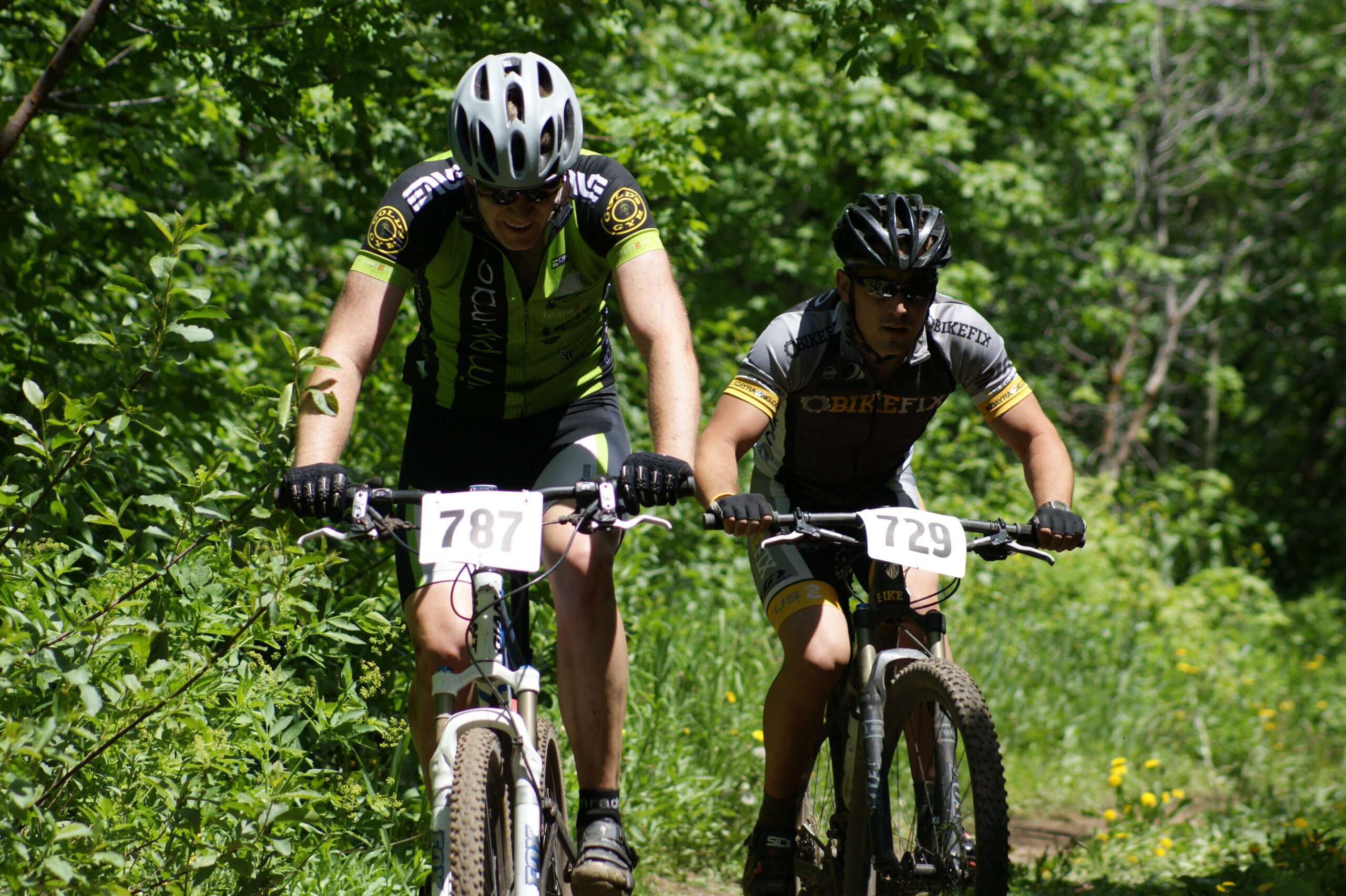
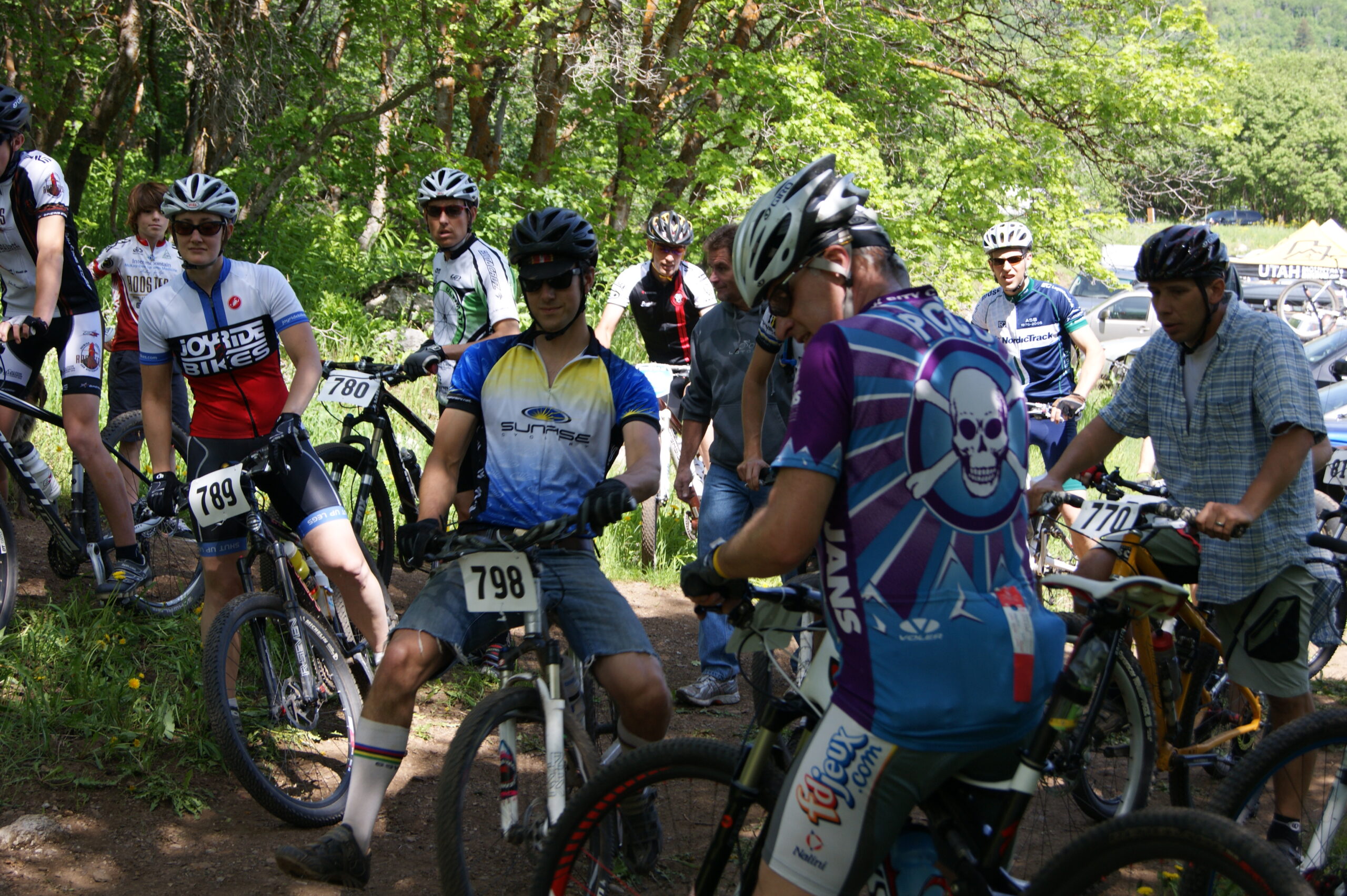
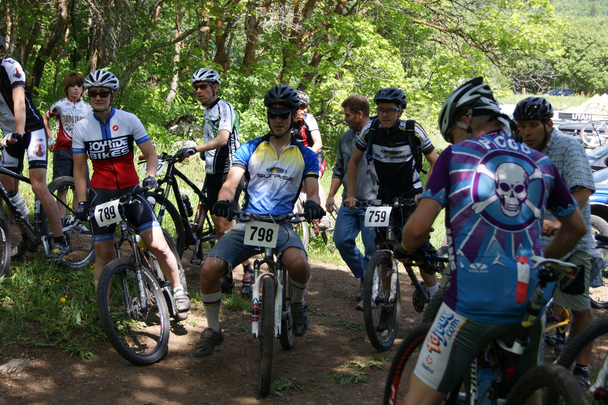
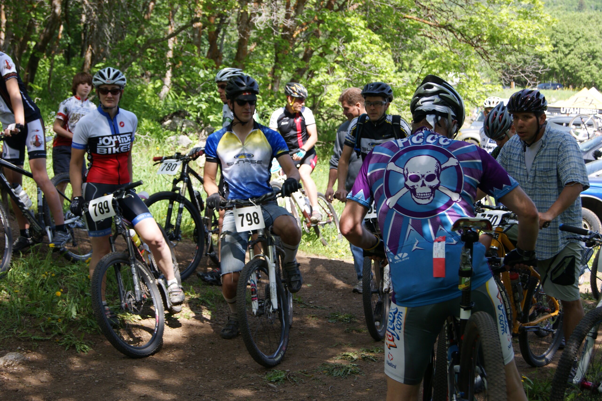
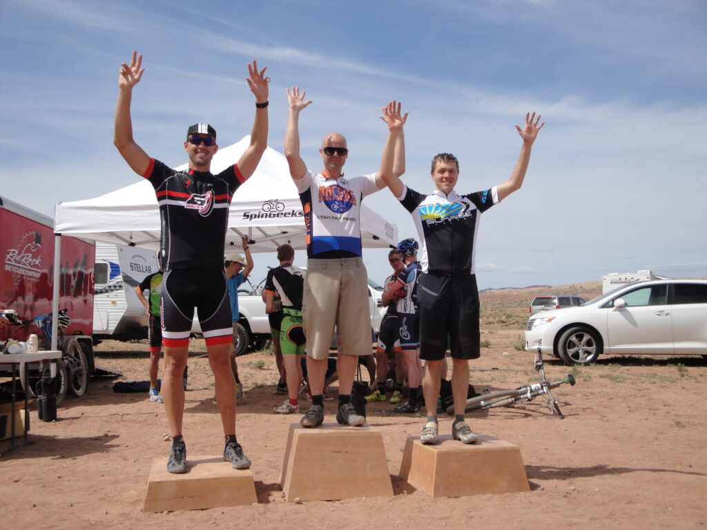
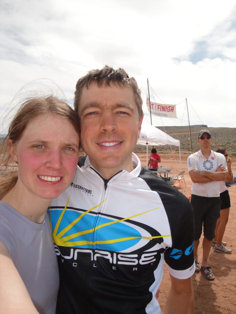
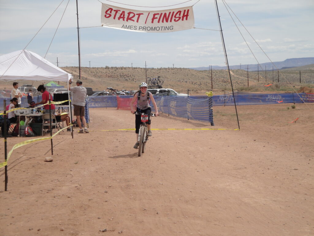
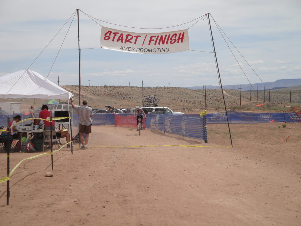
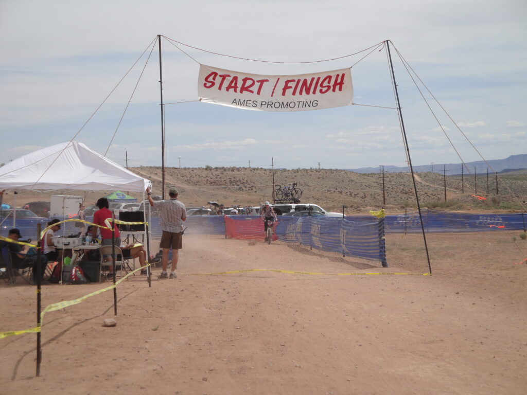
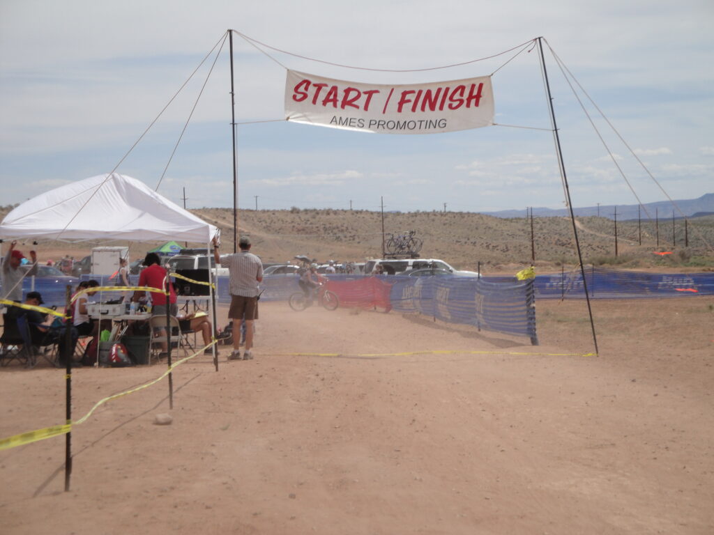
Me and Kristie had a great time at the Cactus Hugger race that was held in St. George, UT. The sports class race was 12 miles long with each lap being six miles. I had a time of about 1:05:25 according to the GPS and an unofficial time of about 1:15. Kristie did good with a time of about 1:55 which was a pretty good time for the womens sports class. During the race many people got pinch flats by running tire pressures too low. Many of the fastest riders got a DNF due to low tire pressures and rough rocks. I however chose to run a bit higher pressure in my tire and kept the shocks in the best pressures and dampener air pressures. I did try out the new Chain-L lube that I ordered a week ago. The Chain-L lube was much better than the Dumonde Tech. During the race I lost my water bottle that was full of my energy drink which I call honey-milk. Kristie calls the drink honey-butter. After the race and the awards ceremony we turned on the heat for the griddle and cooked some marinated chicken breasts. The chicken breasts were used in some nice sandwiches. We also ate a pasta salad with the chicken sandwiches. Now I did discover that the asthma was still not under control because as soon as I started I got an attack.
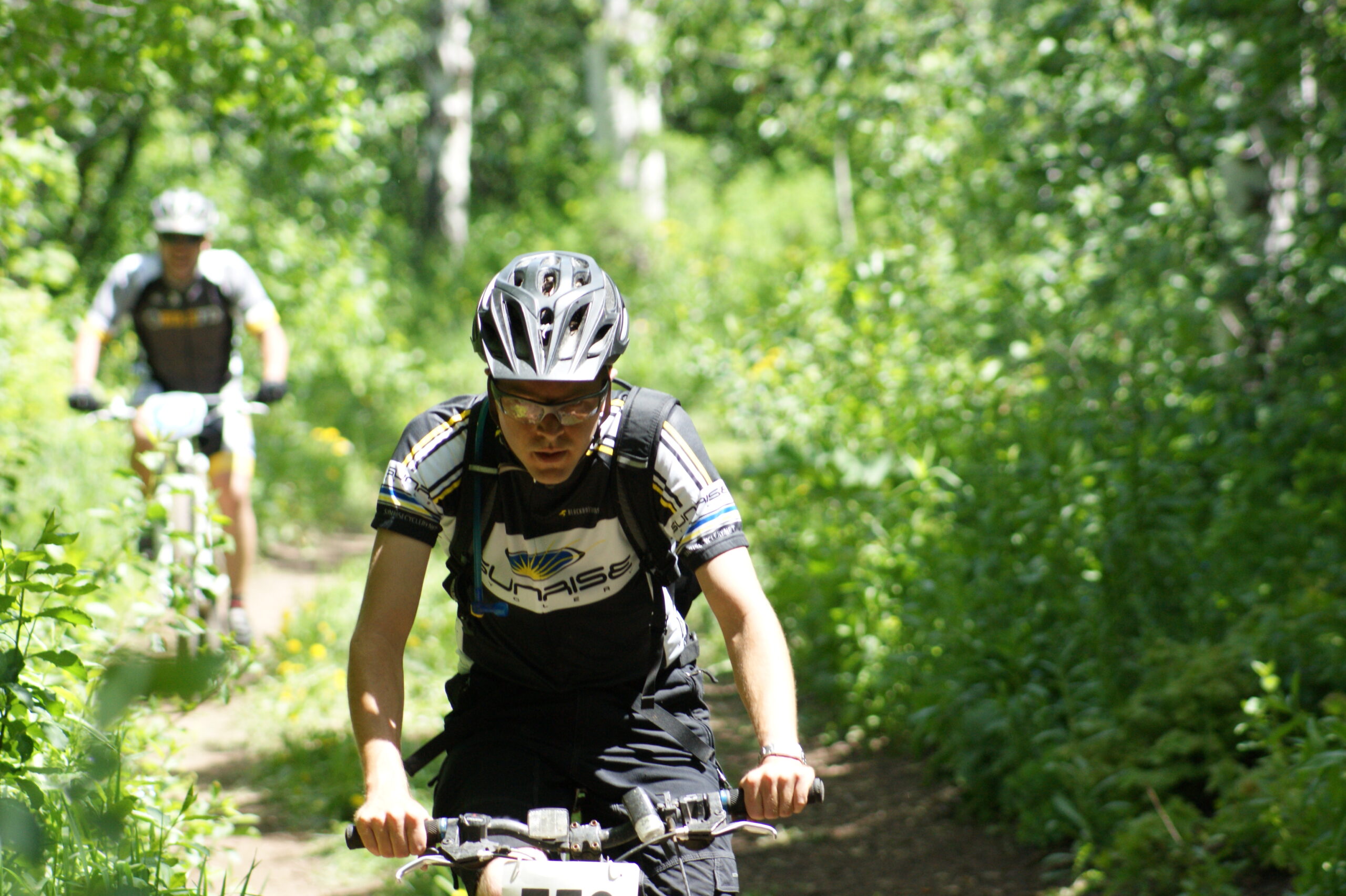
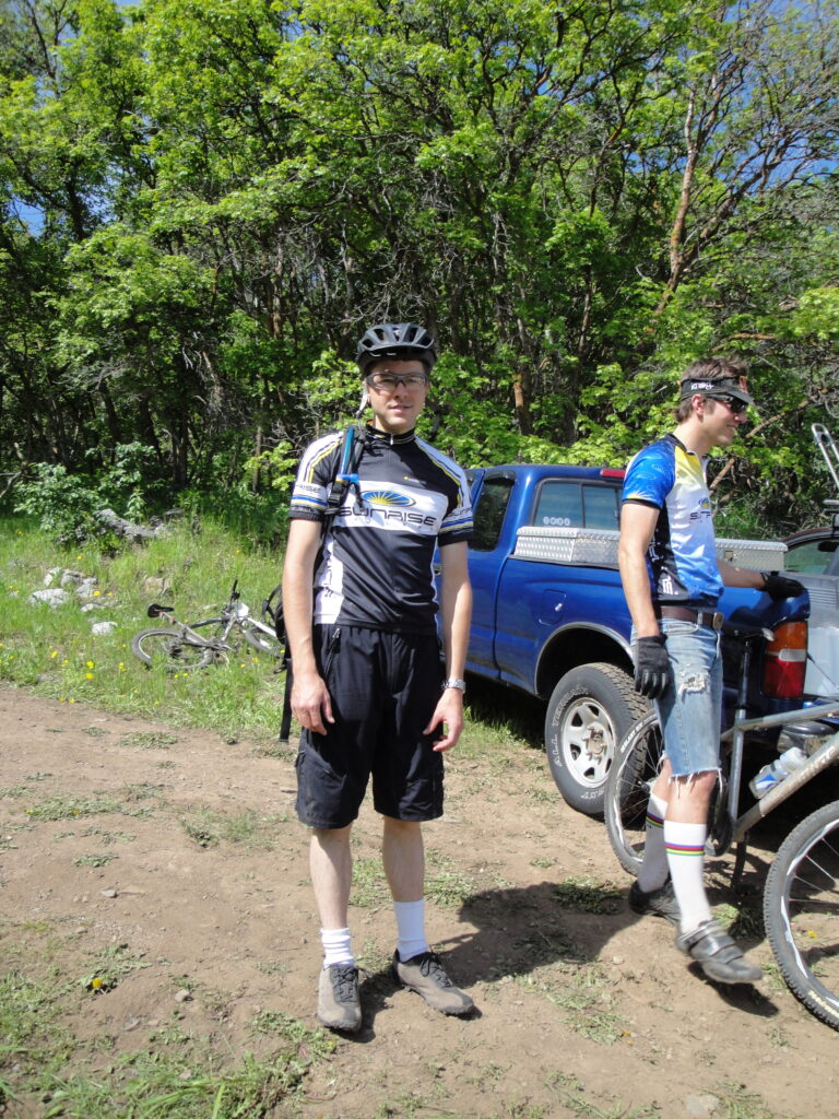
What do I feel when I am about to race? Racing gets me so pumped up! Now that I’m finally getting my asthma/COPD/etc under better management I am getting really excited to do some more racing after the Desert Rampage race at the beginning of March. The next race I’m doing is the Cactus Hugger on April, 6 which is part of the Intermountain Cup series of races. Me and my wife are having a lot of fun doing these races and keep getting pumped up to do the next. I feel that I’m going to be doing really well this race. In a sense I’m an adrenaline junky. I must thank Sunrise Cyclery for the support and help they are. I couldn’t keep the bike running without them.
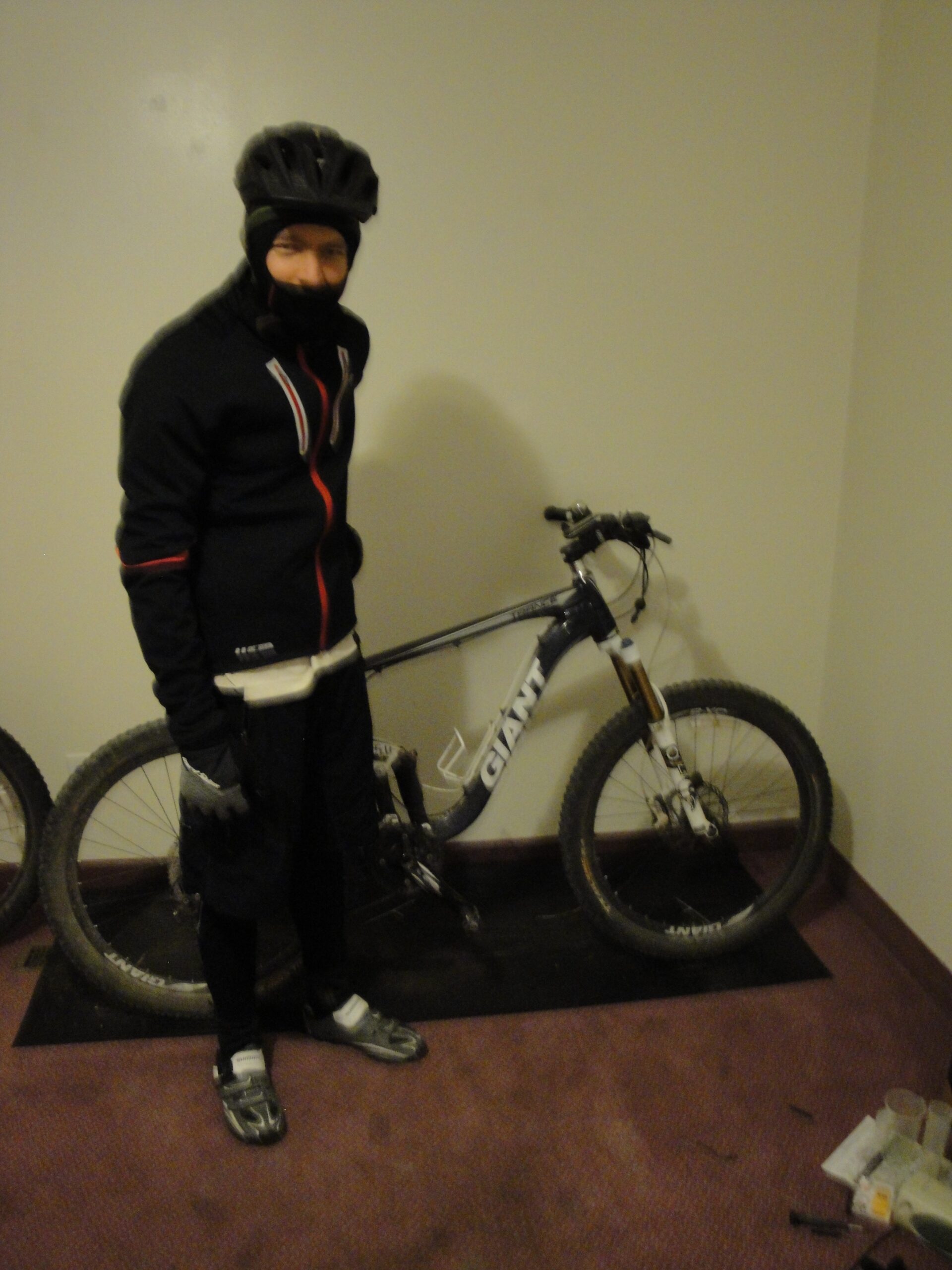
Here is my weapon of choice for the race with monster tires.
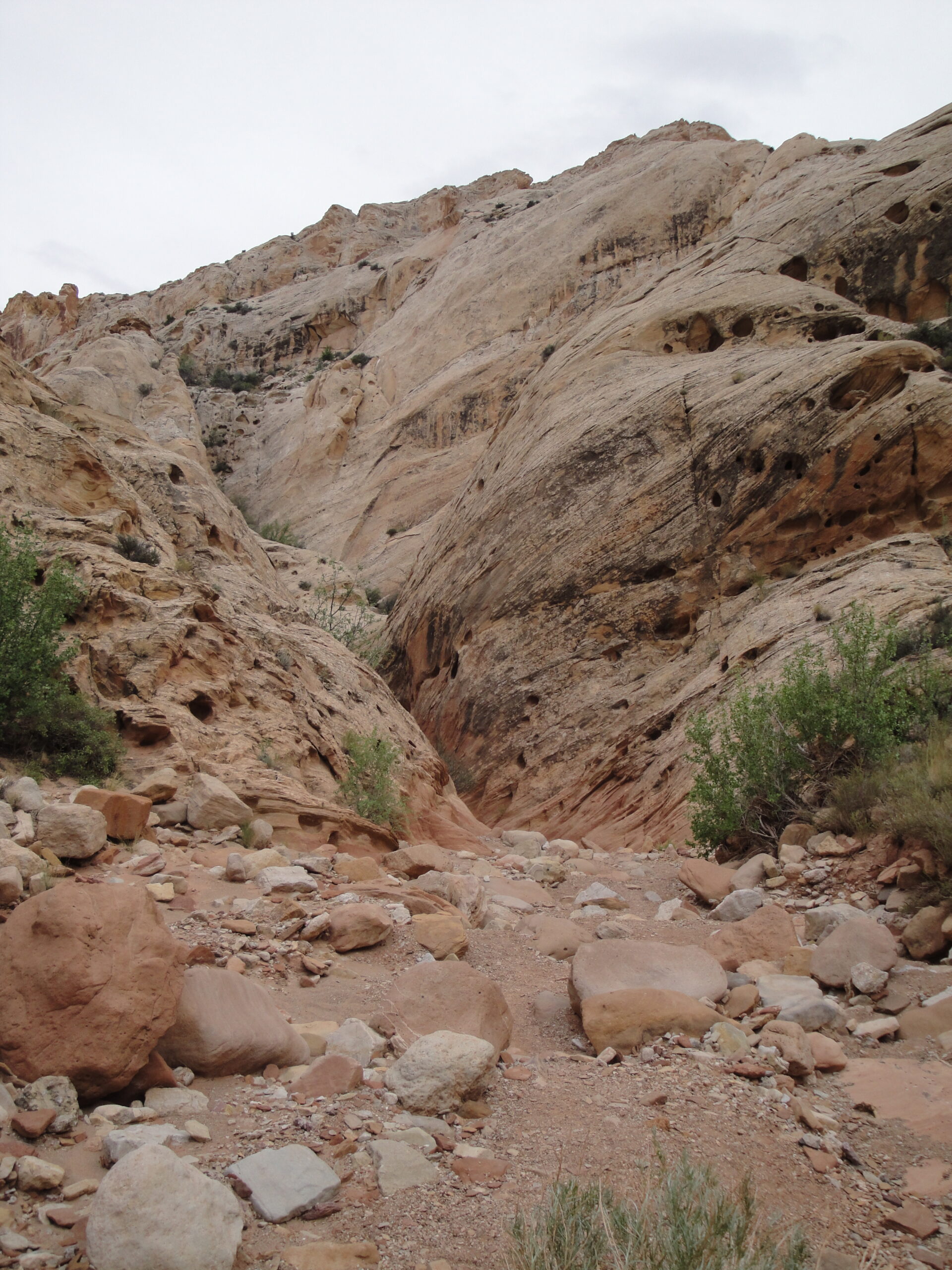
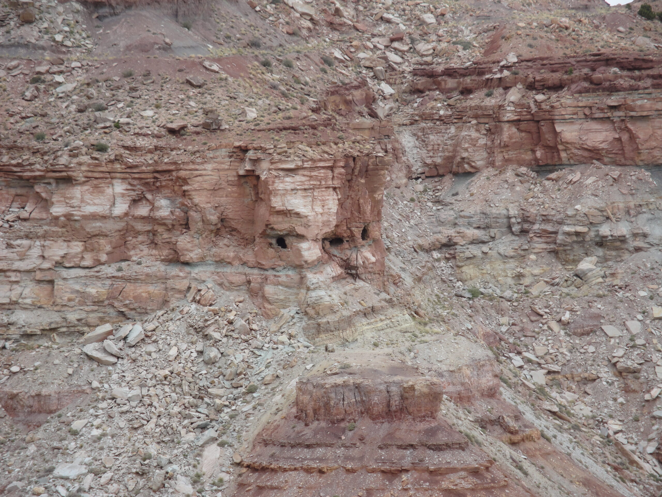
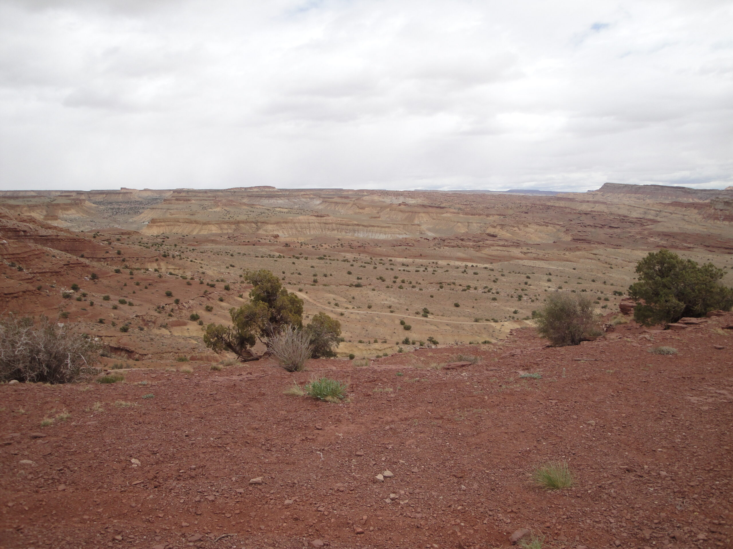
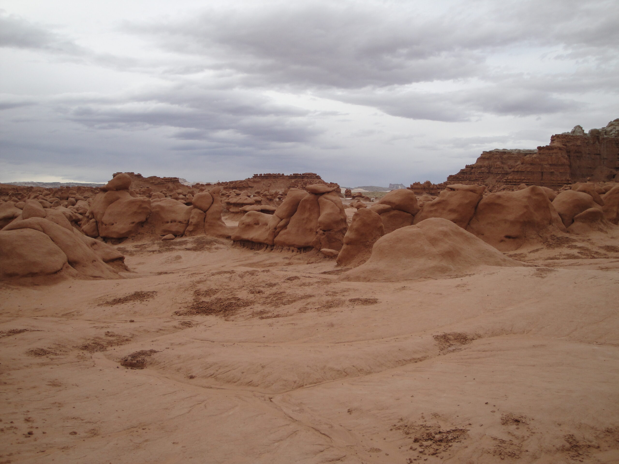
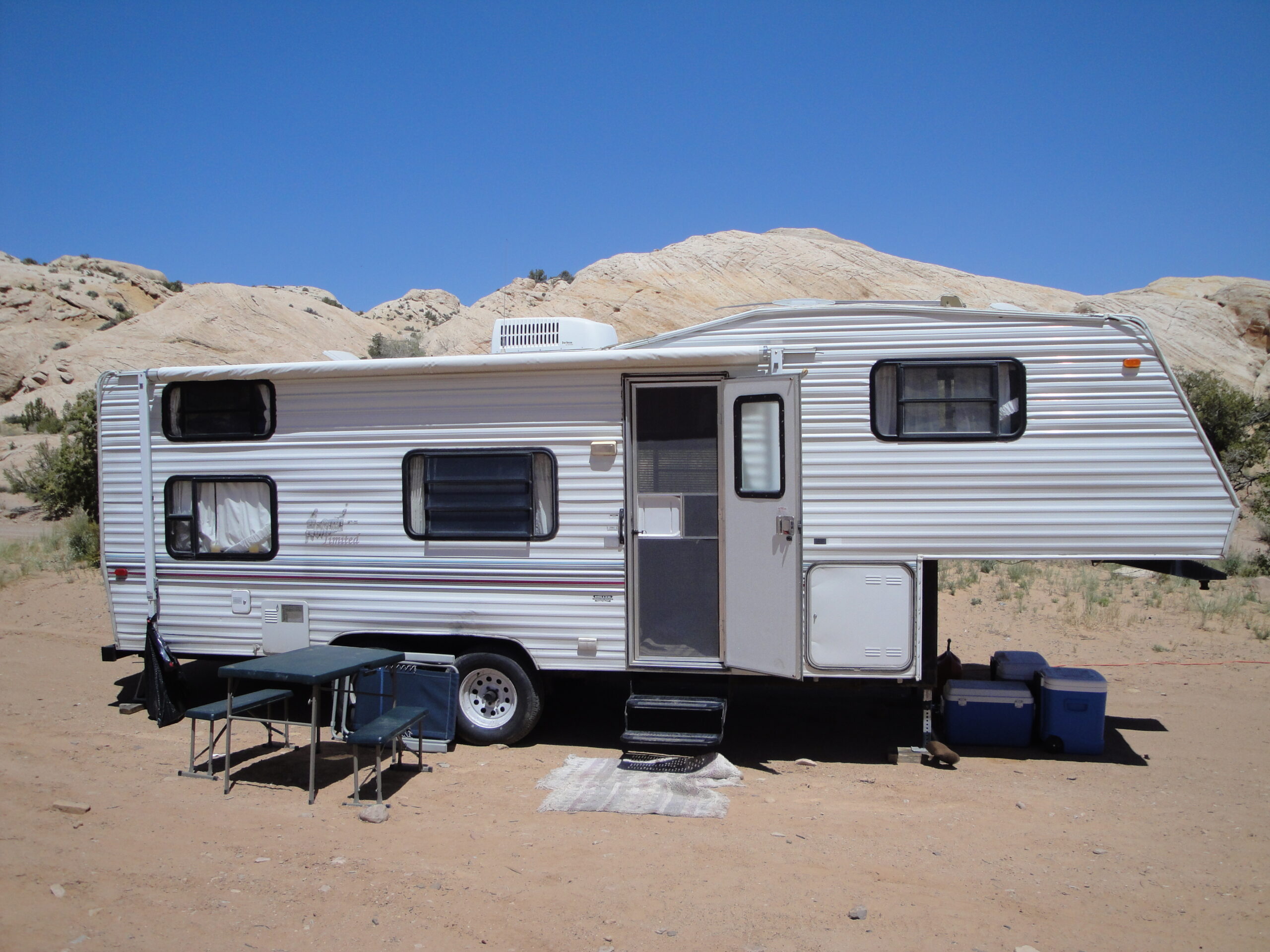
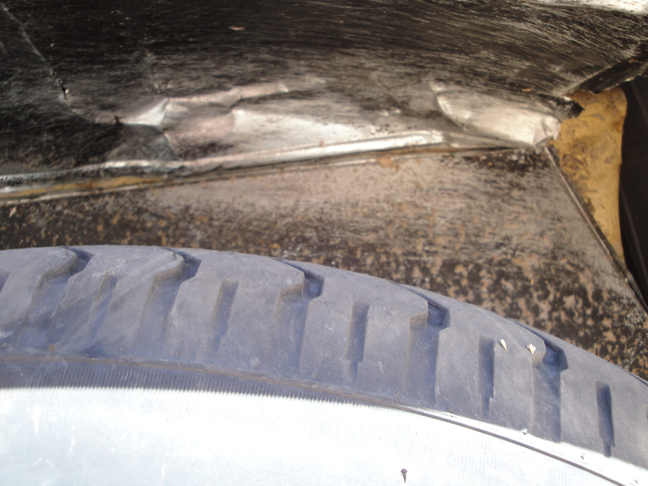
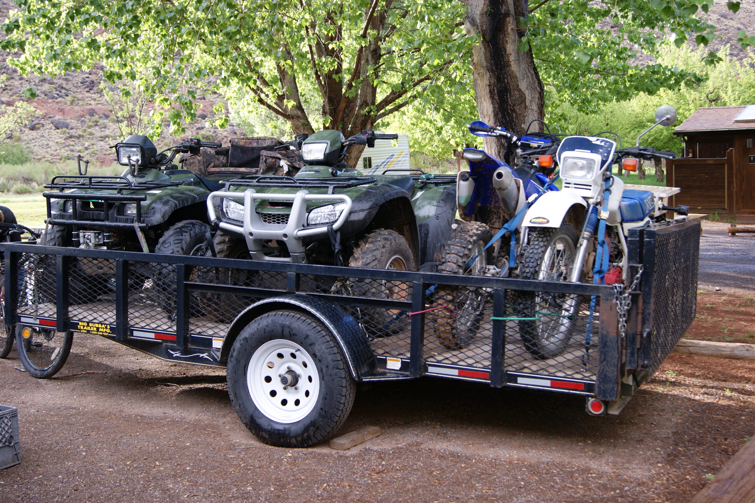
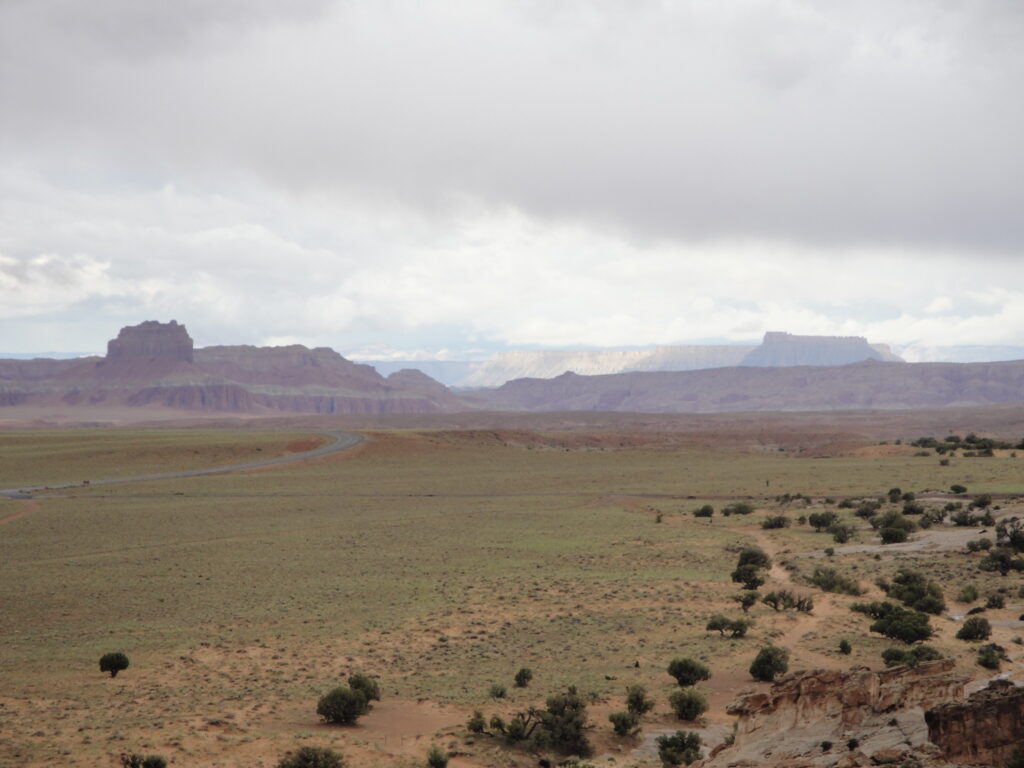
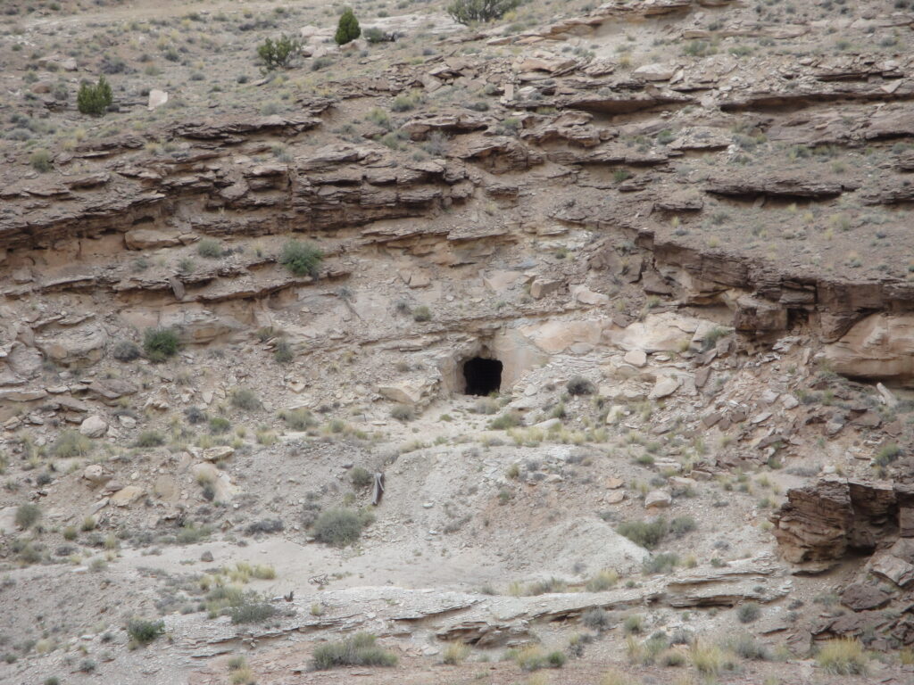
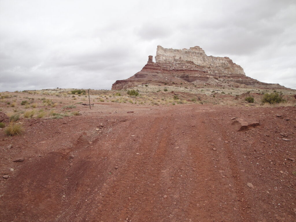
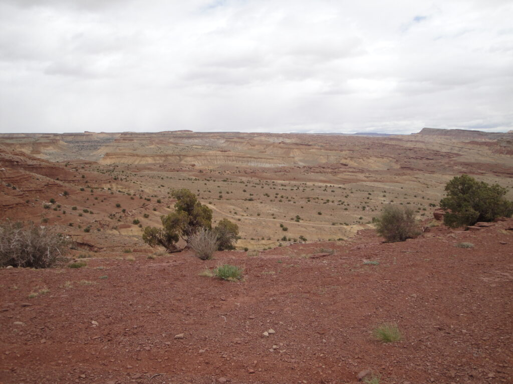
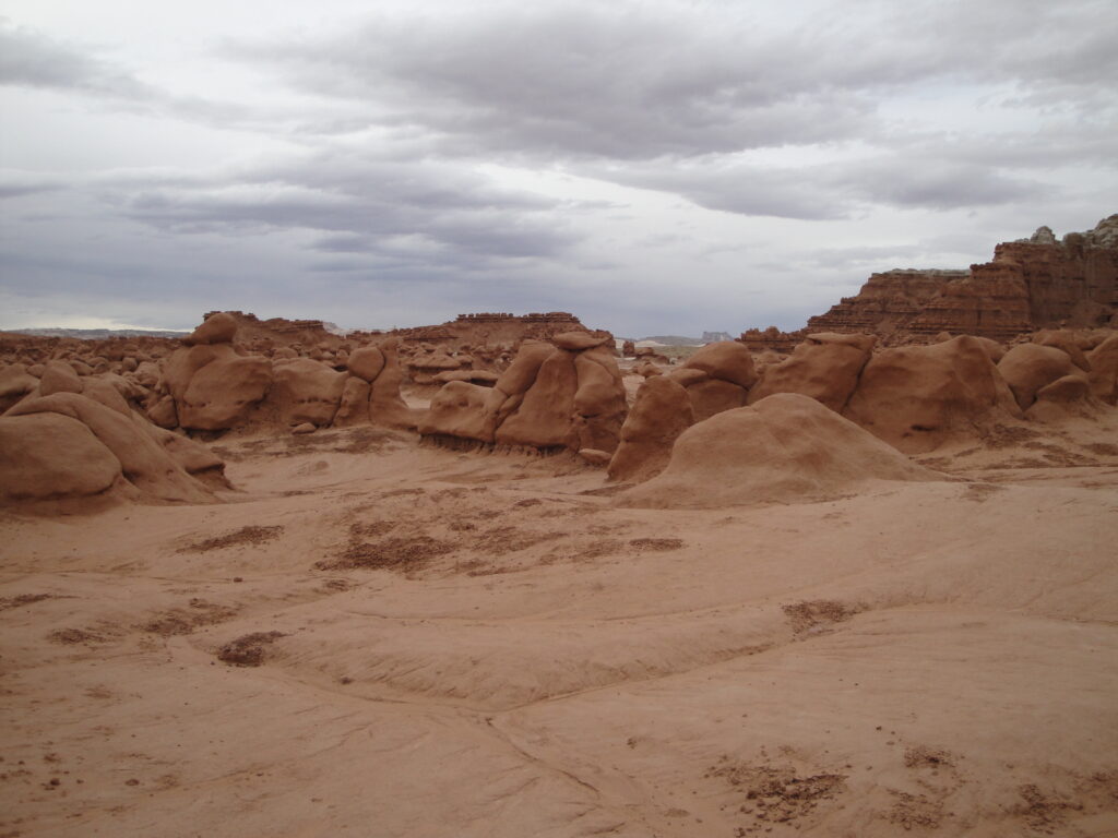
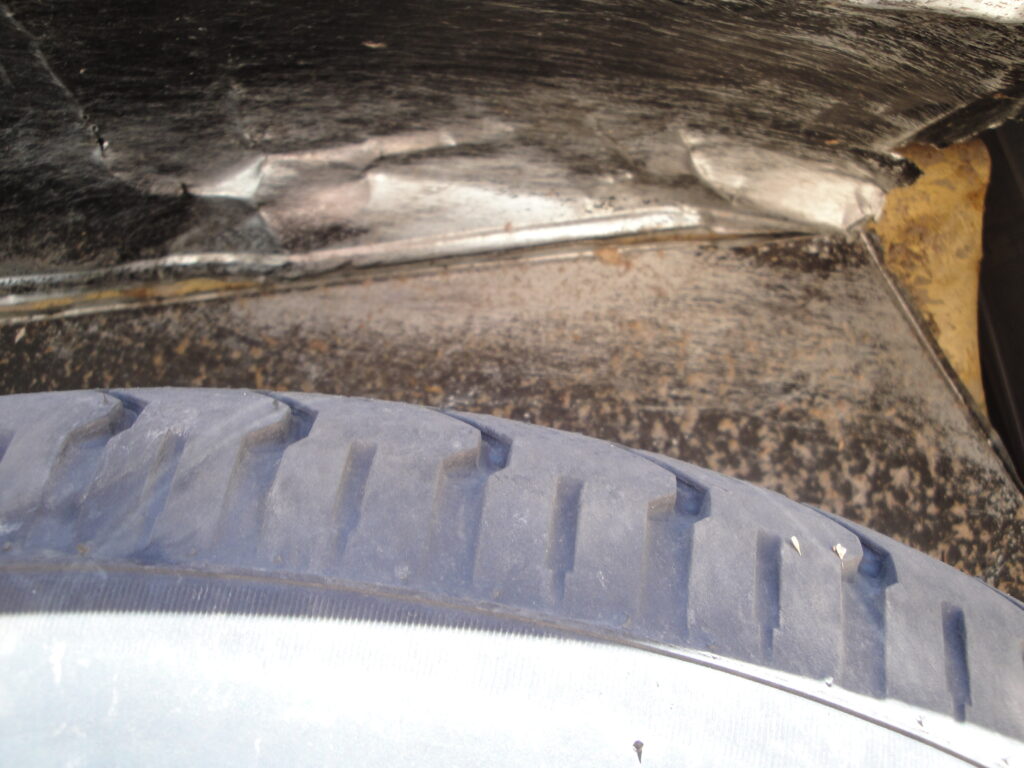
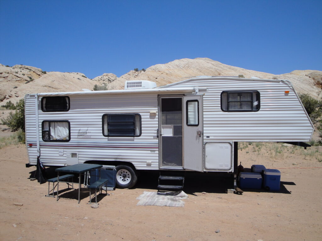
For the vacation in 2011 which we went on in May we went down the San Rafel Swell about eight miles north of Goblin Valley. The area is near the Temple Mountain wash and that is where we spent half of the vacation. Now a family vacation wouldn’t be a vacation without some major event that had to occur. On the way down to where we were camping for the first few days we had a blowout on one of the trailer tires. Tire wells on camper trailers are not built strong enough to withstand the abuse that a blown tire causes. So with the blowout came the damage and we lost a box of soda, and a bag of potatoes that were set inside the storage compartment below one of the tables seats.
Now if the tire blowout wasn’t enough for excitement the truck that was pulling the trailer started to blow oil out of the dipstick. Oil coming out of the dipstick is a bad thing because then you run out of oil rather quickly and before the oil runs out it begins to stay too hot. Oil that is too hot doesn’t lube the best and doesn’t maintain pressure in the system. Not only was the oil blowing out of the dipstick but when we got home it was discovered that the engine was also consuming coolant. To hopefully fix this the intake manifold was taken off and machined to match the head surfaces. Machining the manifold fixed the oil burning that had been going on for the past five years since the rebuild but alas the head is fractured.
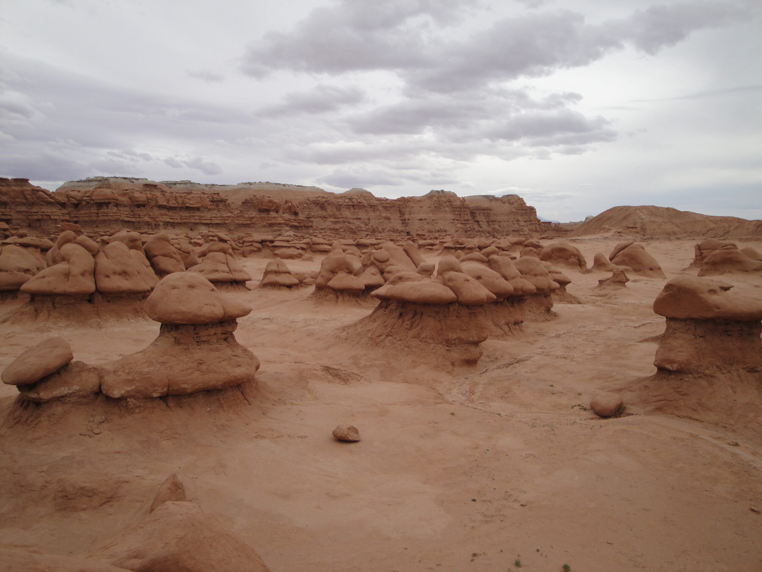
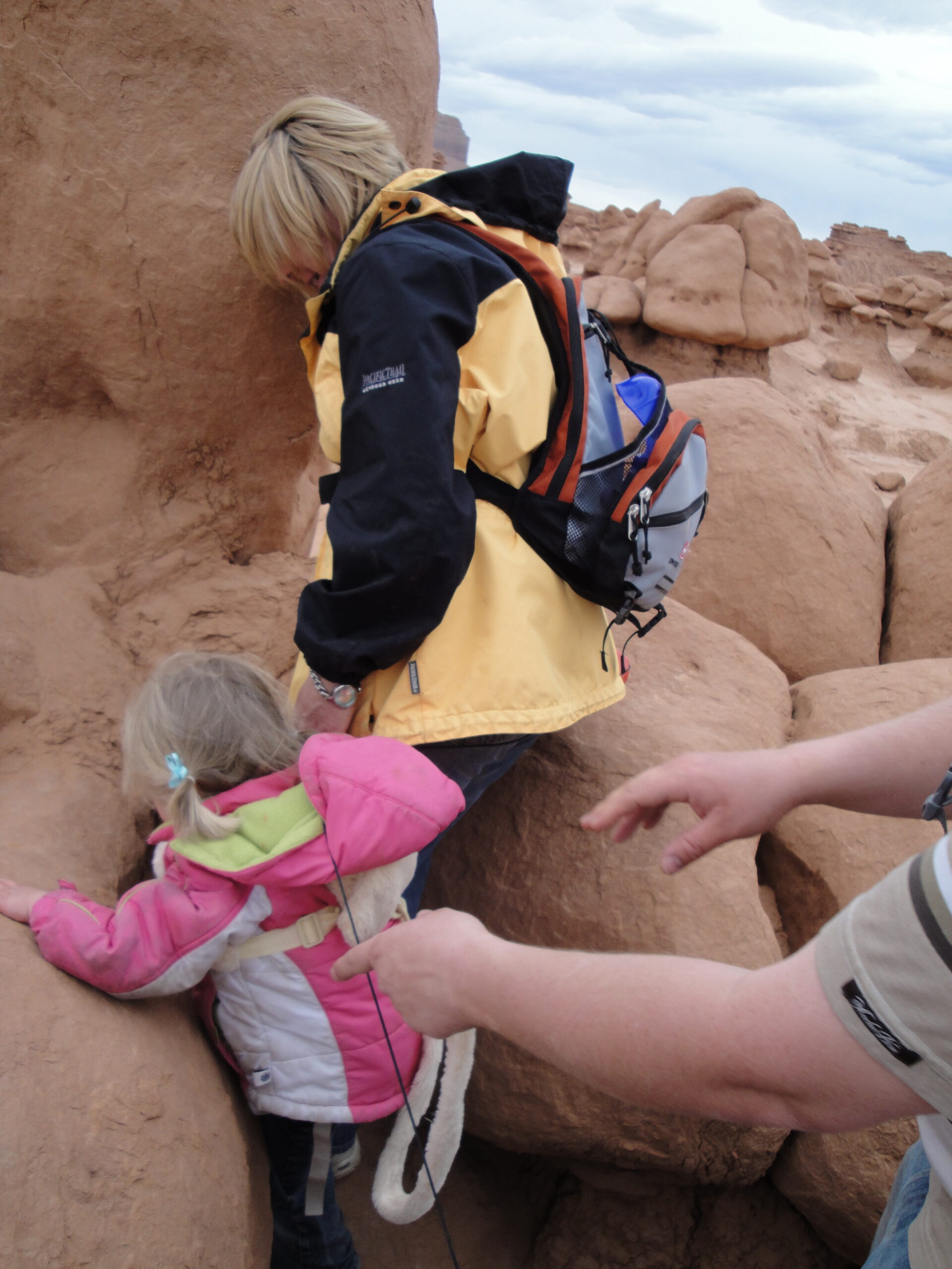
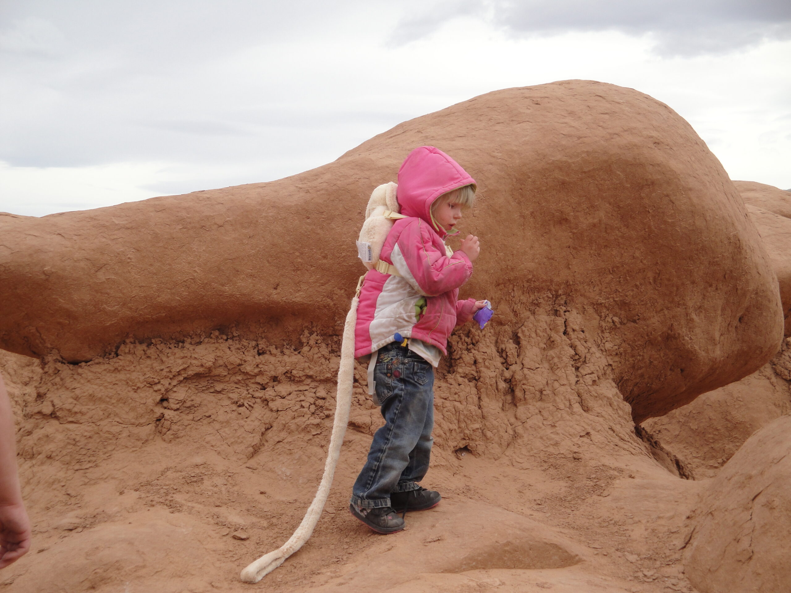
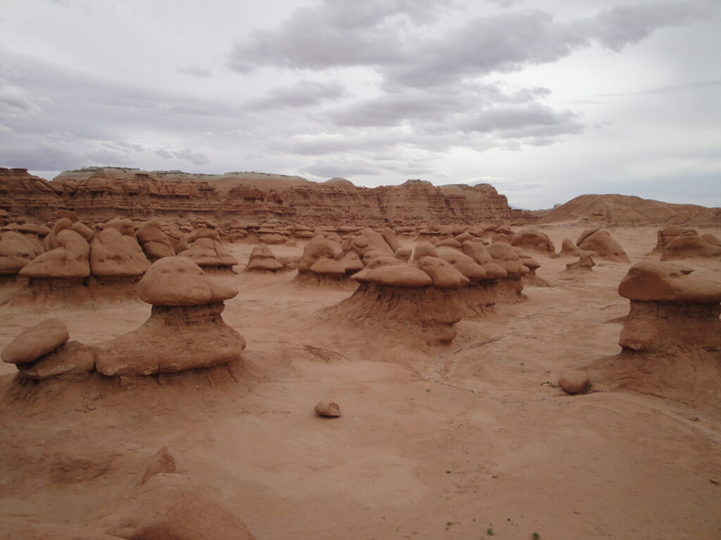
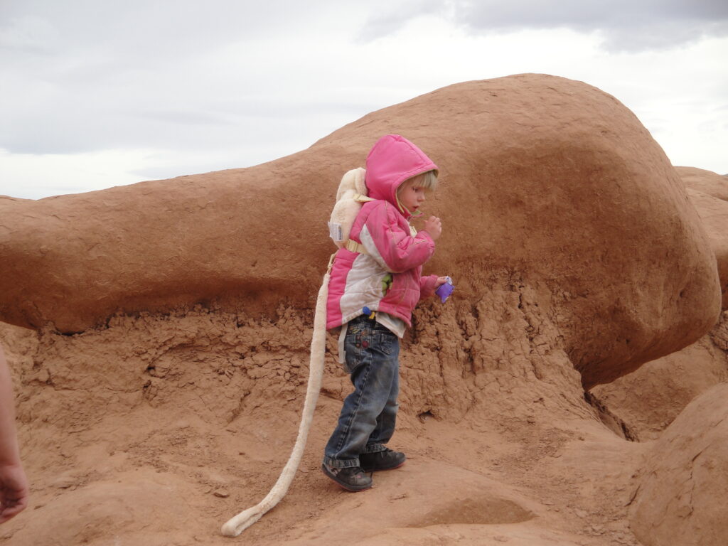
The more exciting stuff though is what we had fun doing during the vacation. We went to Goblin Valley for one of the afternoons and the children ran around and played on the Goblins. We wanted to take showers and when we were done playing on the Goblins we took showers at the state park campground. We got in trouble for that and ended up paying for the use of the showers. I’m still happy that I had taken a shower and felt nice and clean. We could have used the water from the trailer but then we have to worry about how much is the storage tanks and how much water we actually have to use.
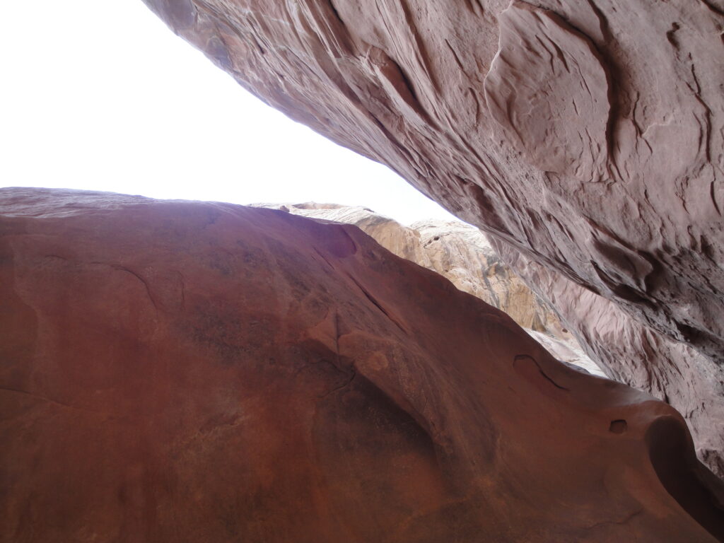
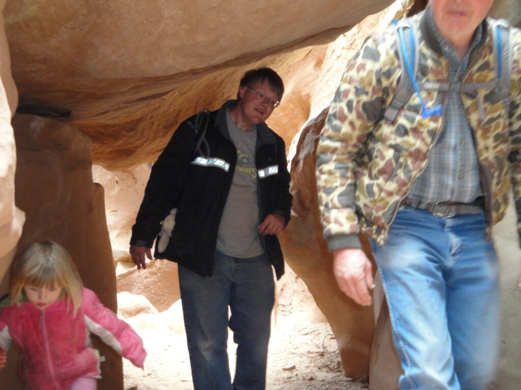
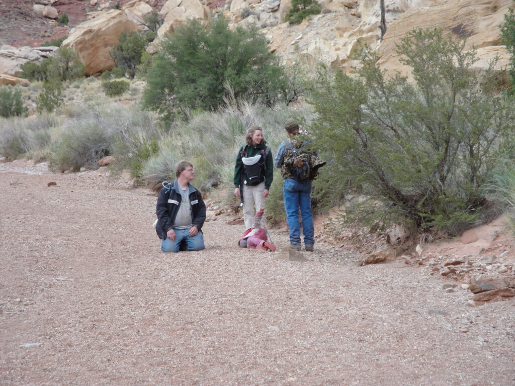
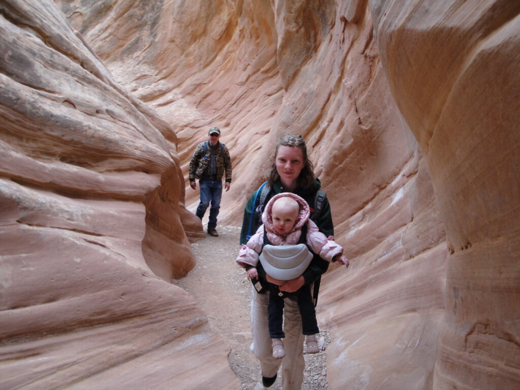
One of the adventures of the vacation was walking the Little Wild Horse trail. Now my sister brought her two young children with and they only barely made it out after much convincing. Now it really isn’t possible to carry a three year old child for five of the eight miles. So the oldest child just simply had to walk the trail. The youngest I help carry out of the canyon which I didn’t mind. An eight mile hike is a very long hike for children and for those who are out of shape.
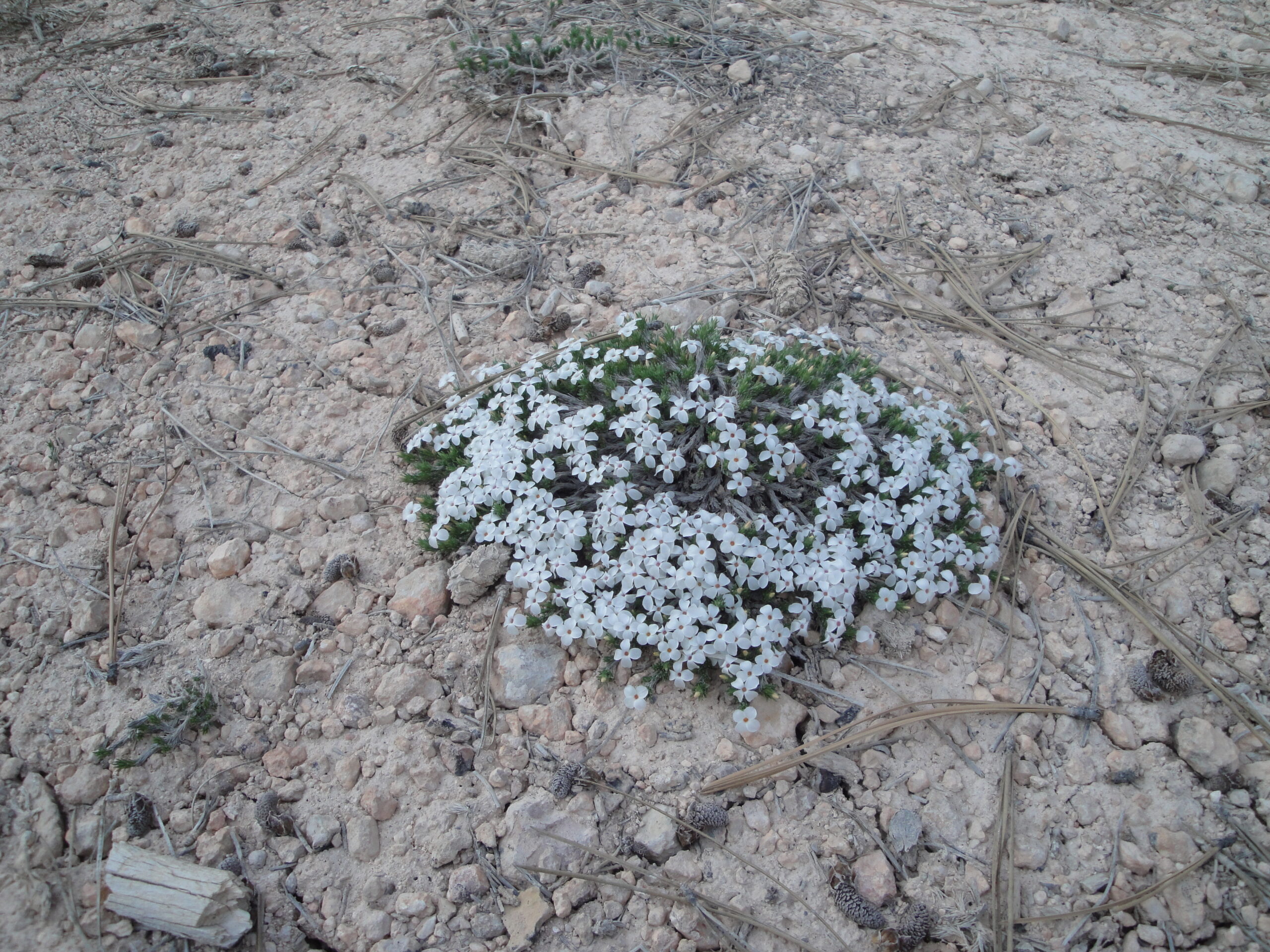
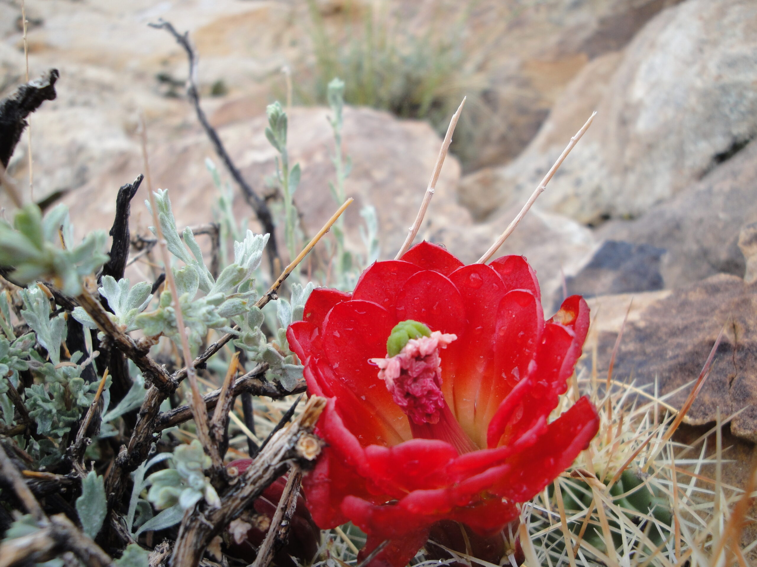
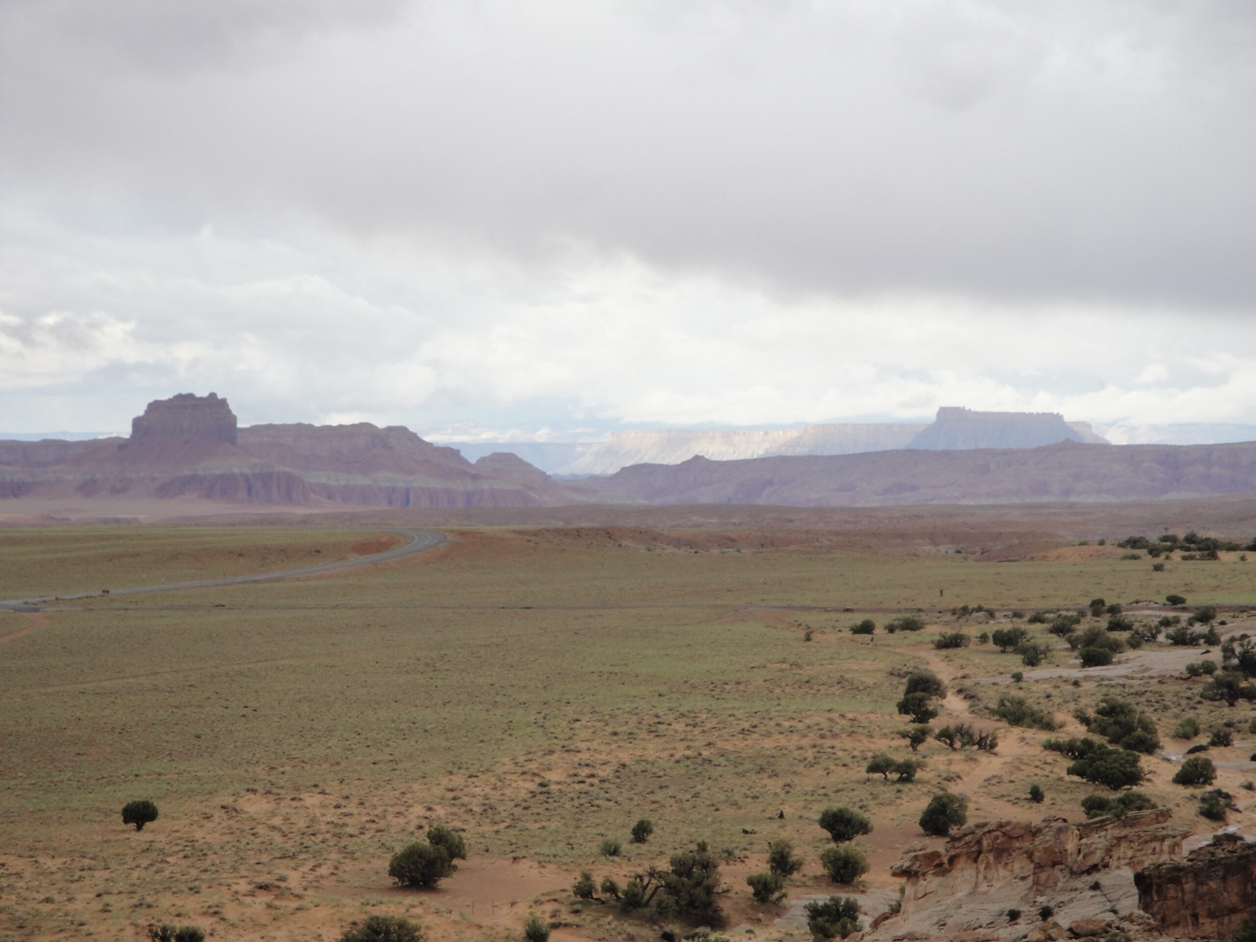
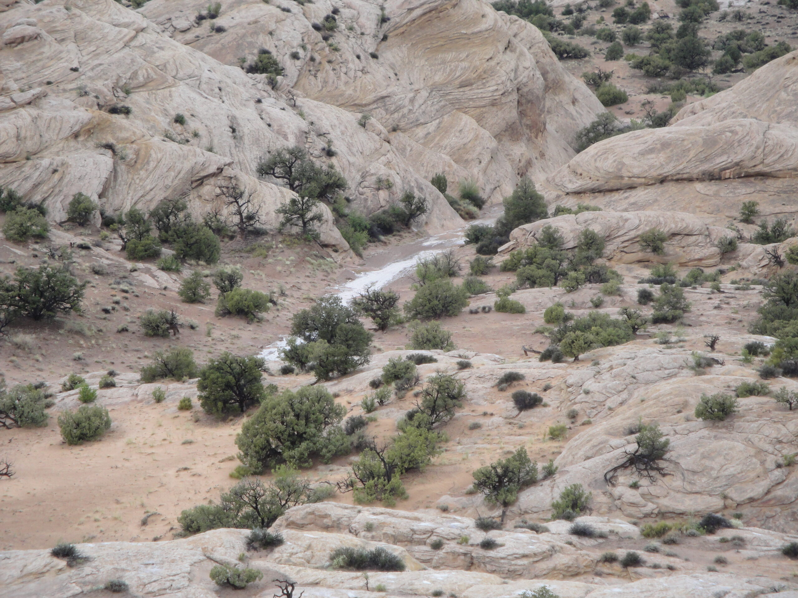
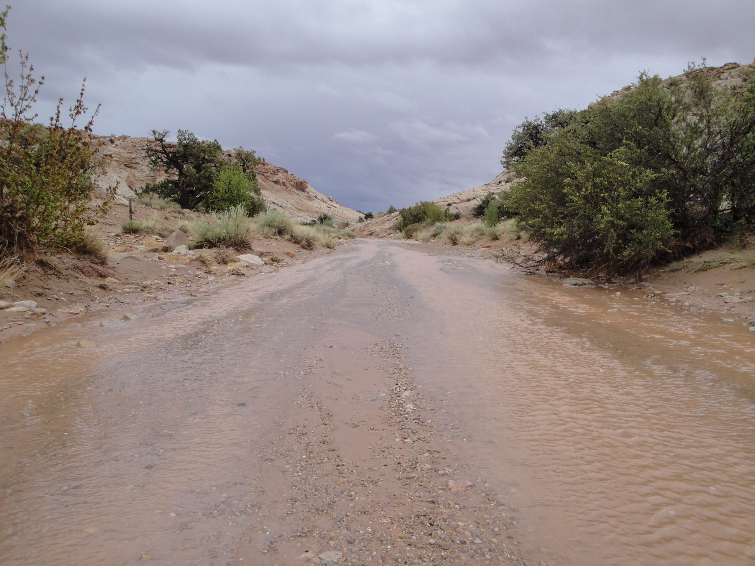
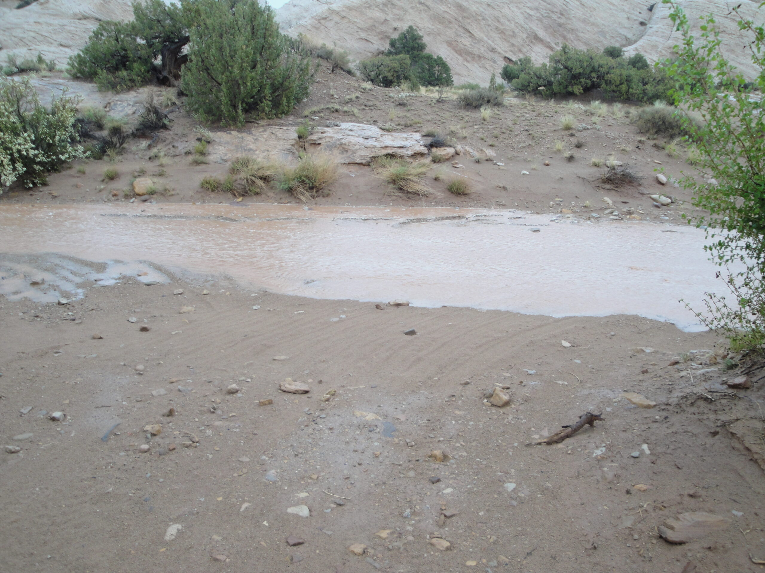
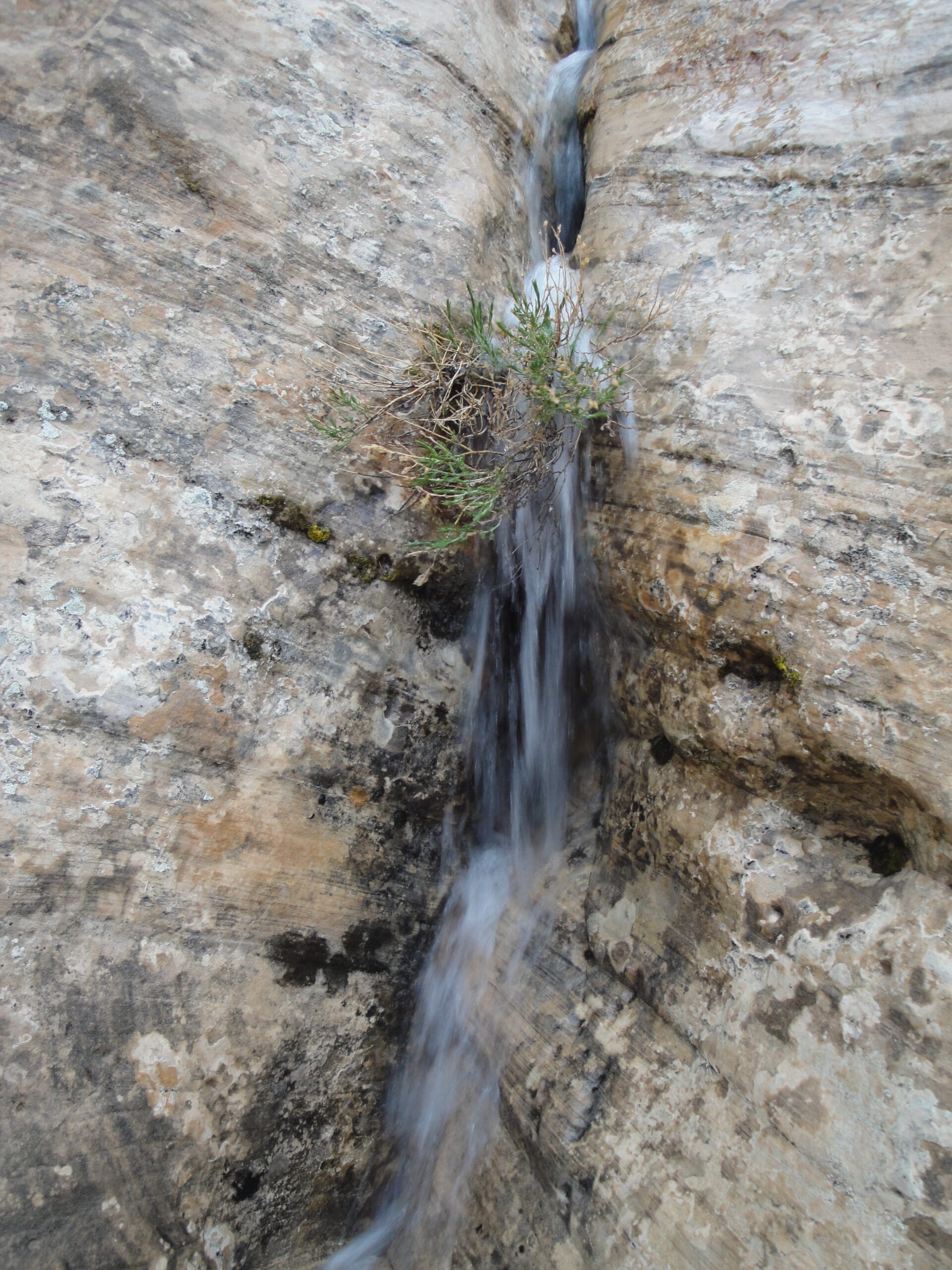
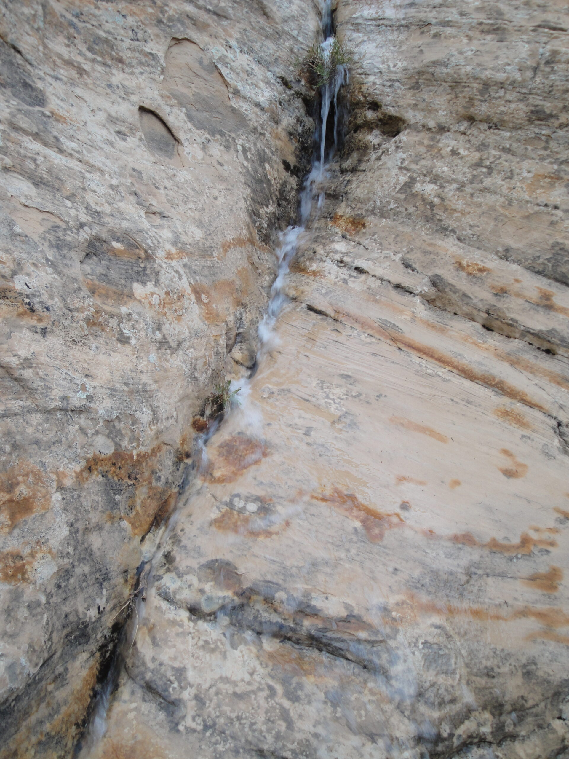
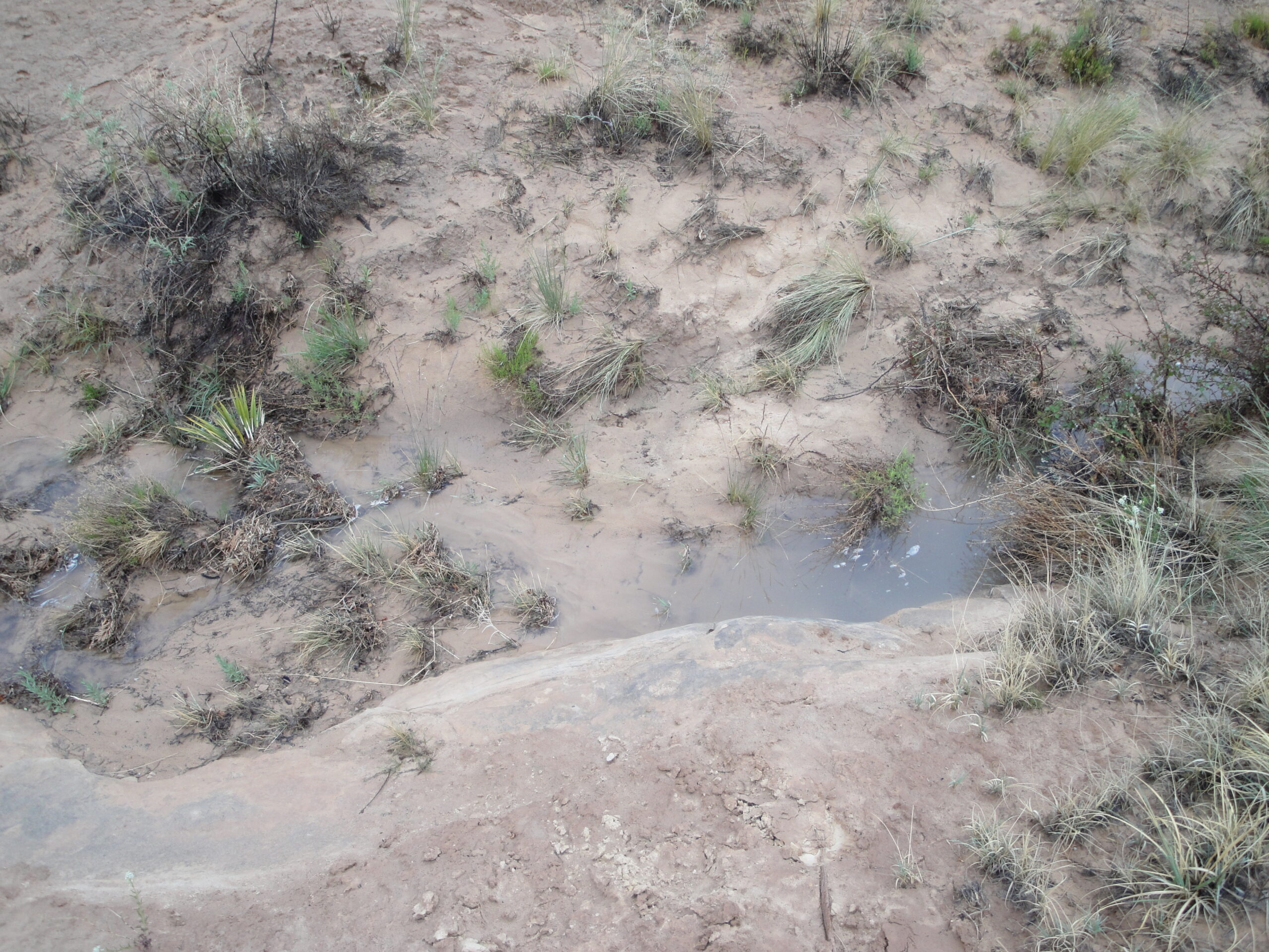
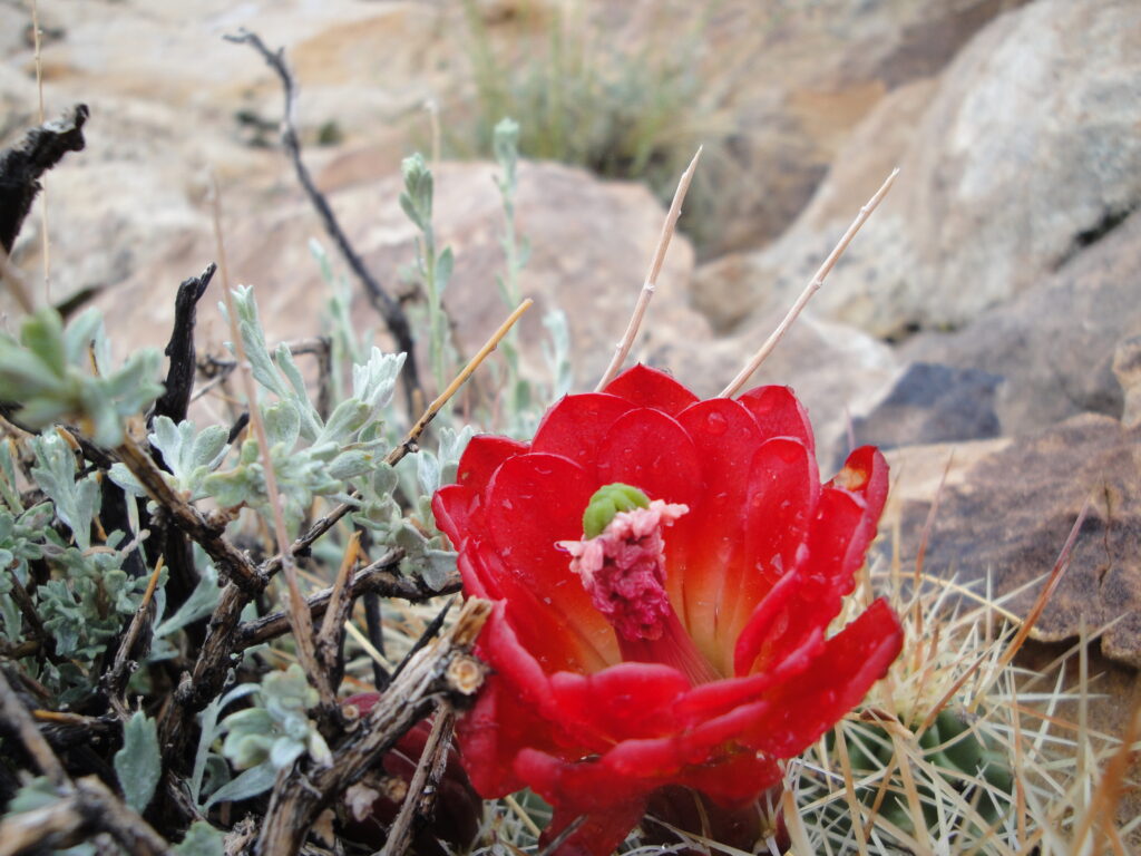
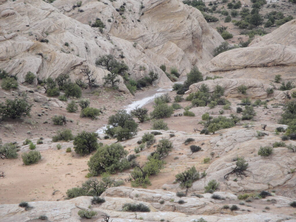
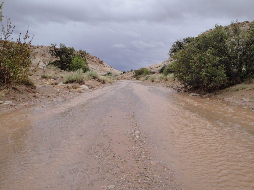
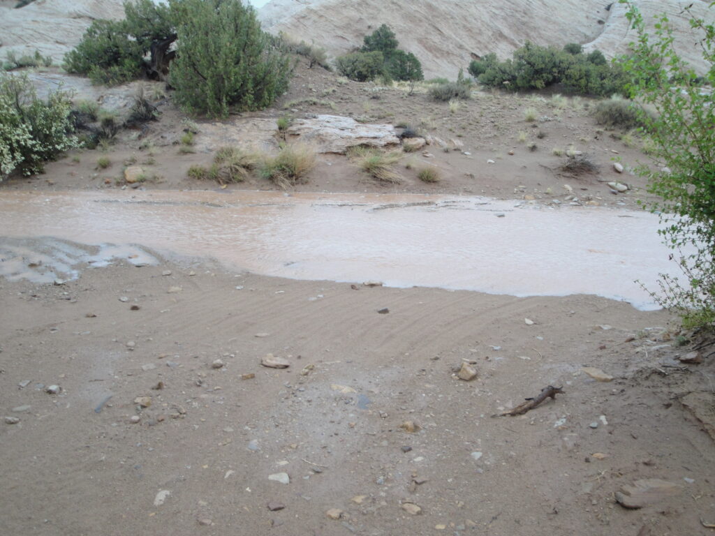
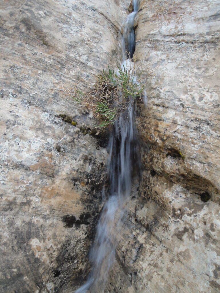
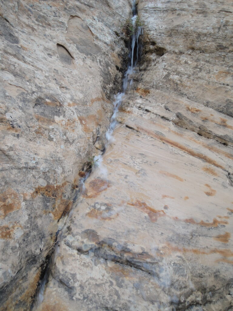
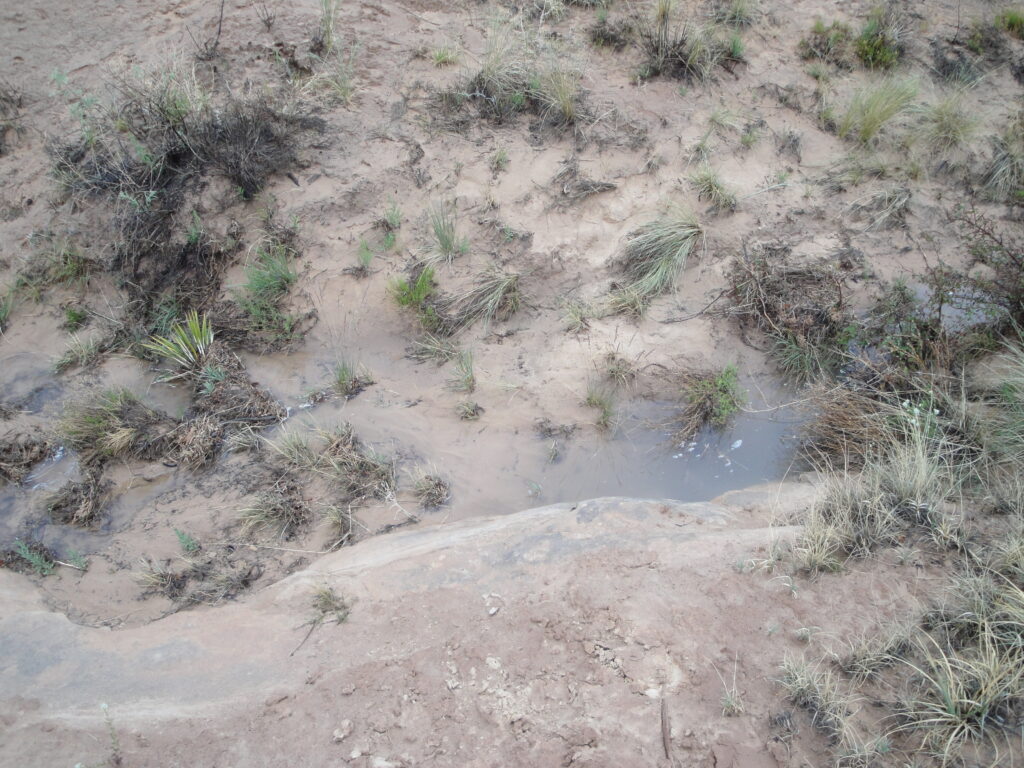
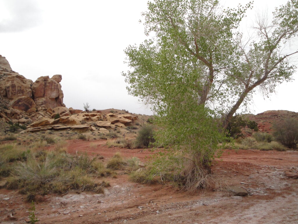
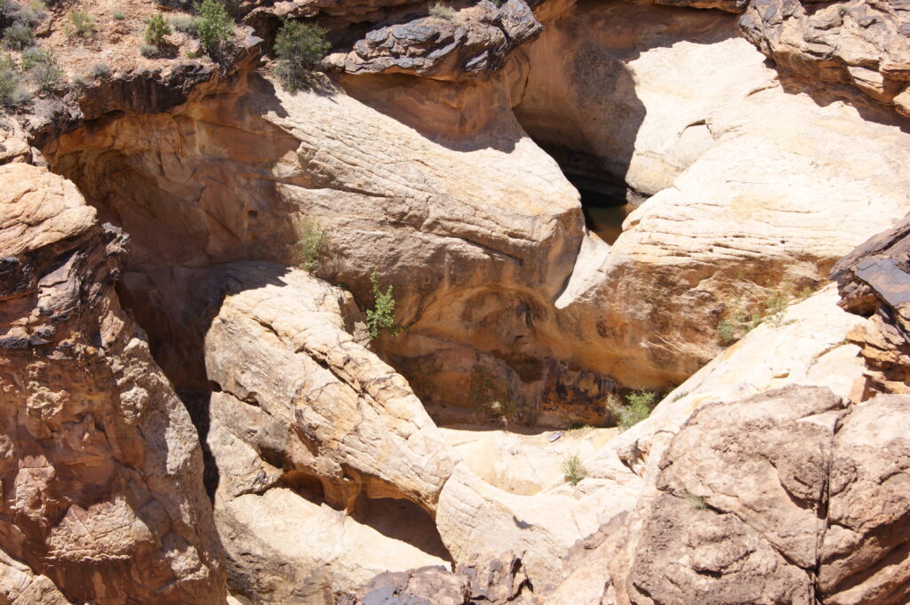
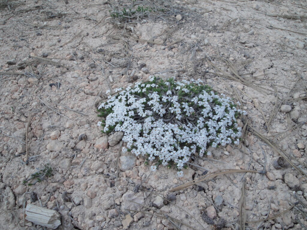
An rather rare event did occur in the desert while we were camped near Temple Mountain. There was a strong storm system that came through on the day that we left and there was enough rain that it filled the washes with water. I thought it was a very cool thing to observe. So since there was so much rain I had to take pictures with the desert in bloom. During the vacation there was either wind or rain the entire time.
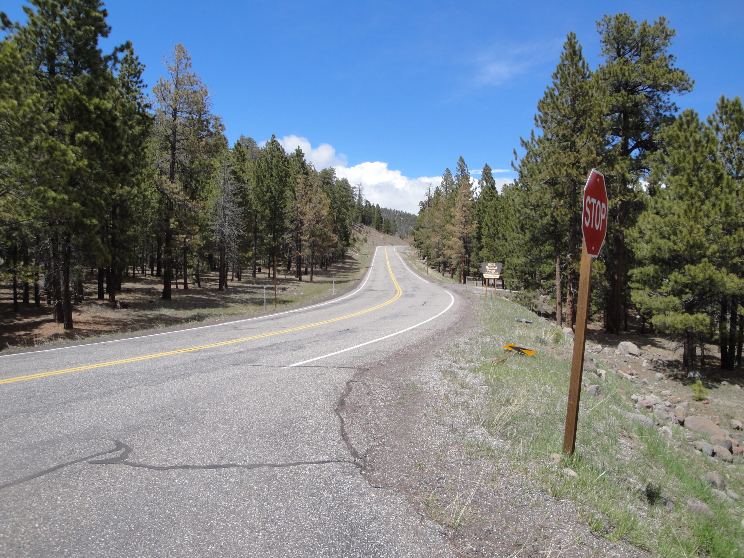
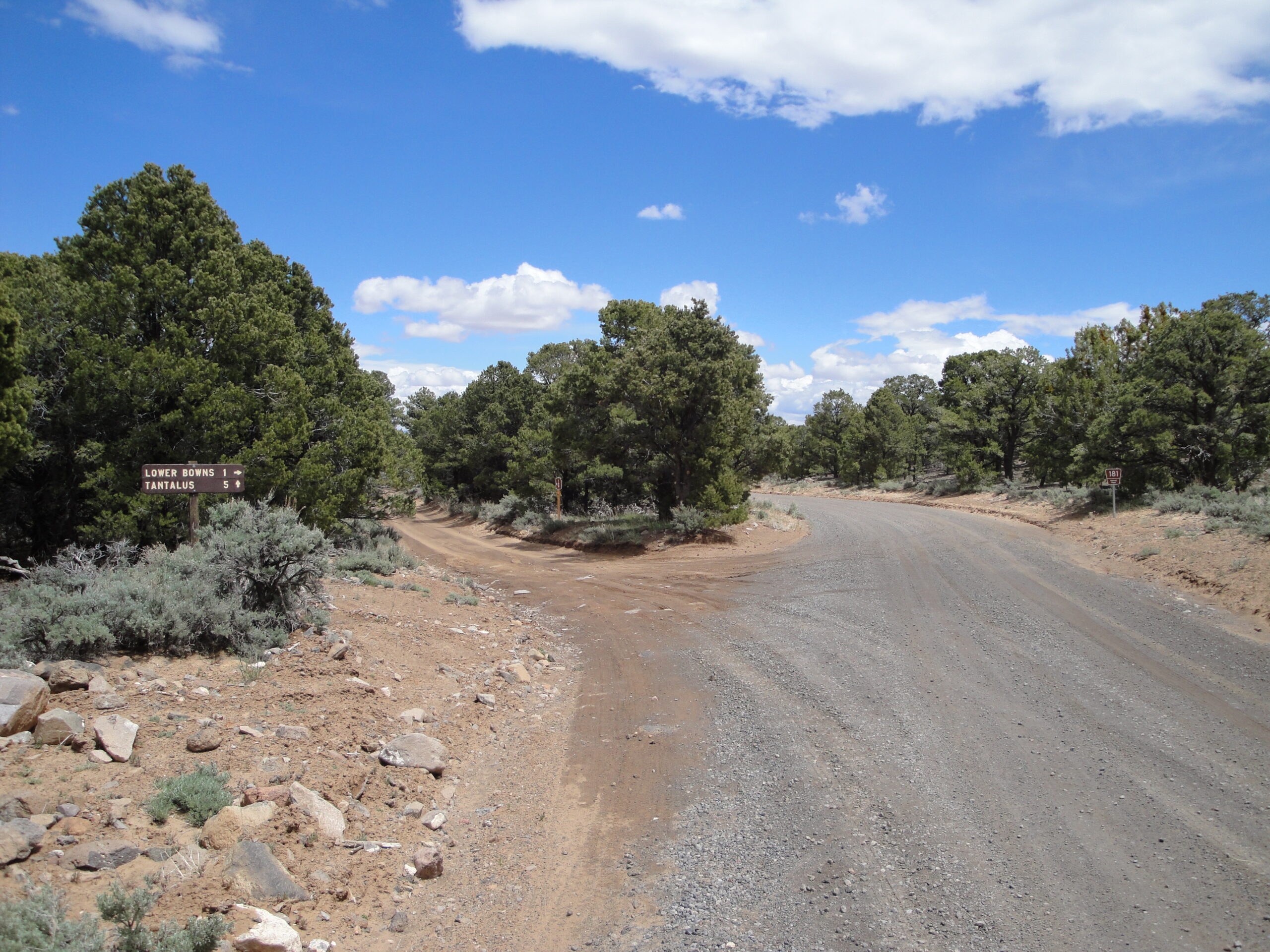
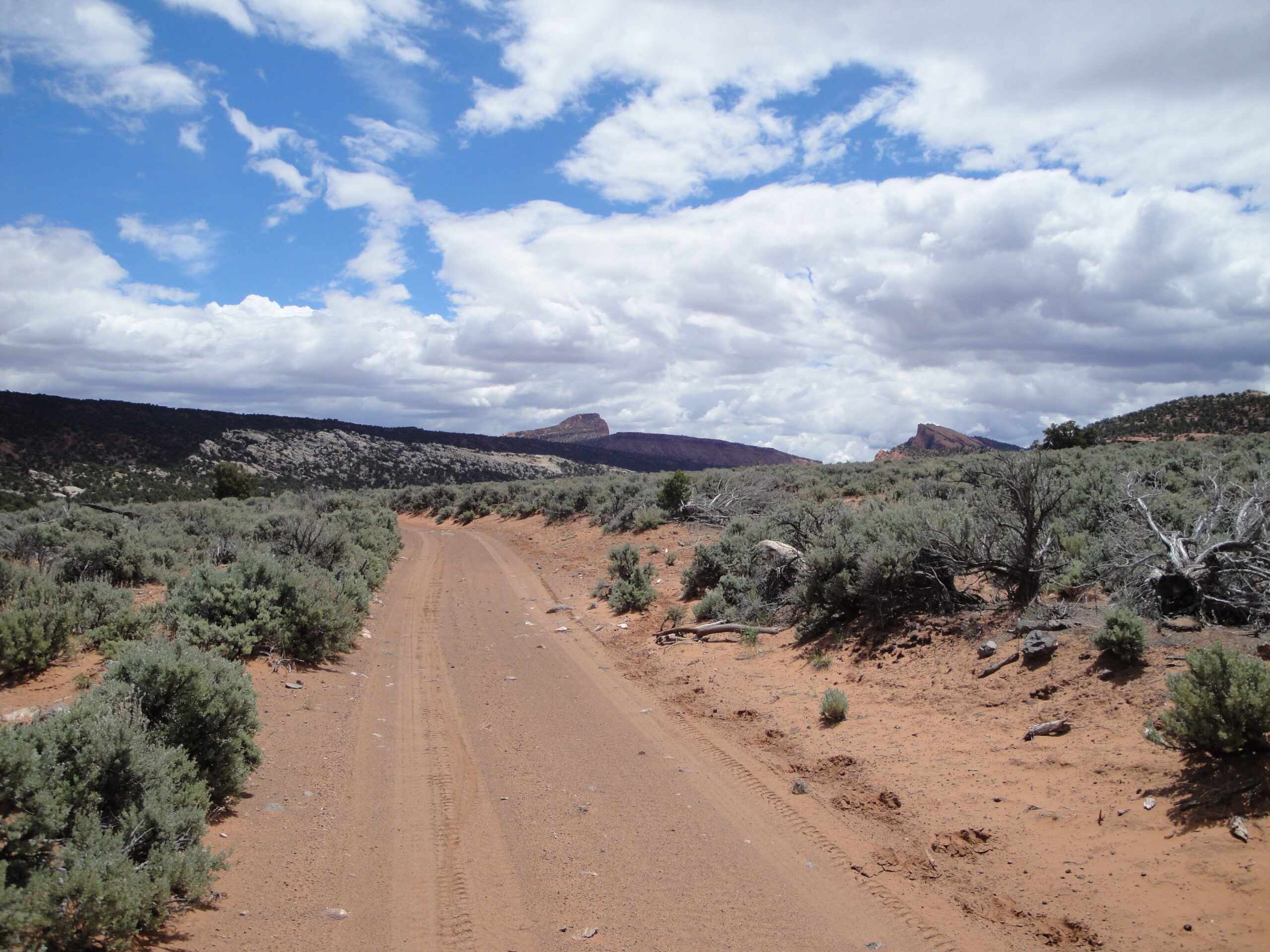
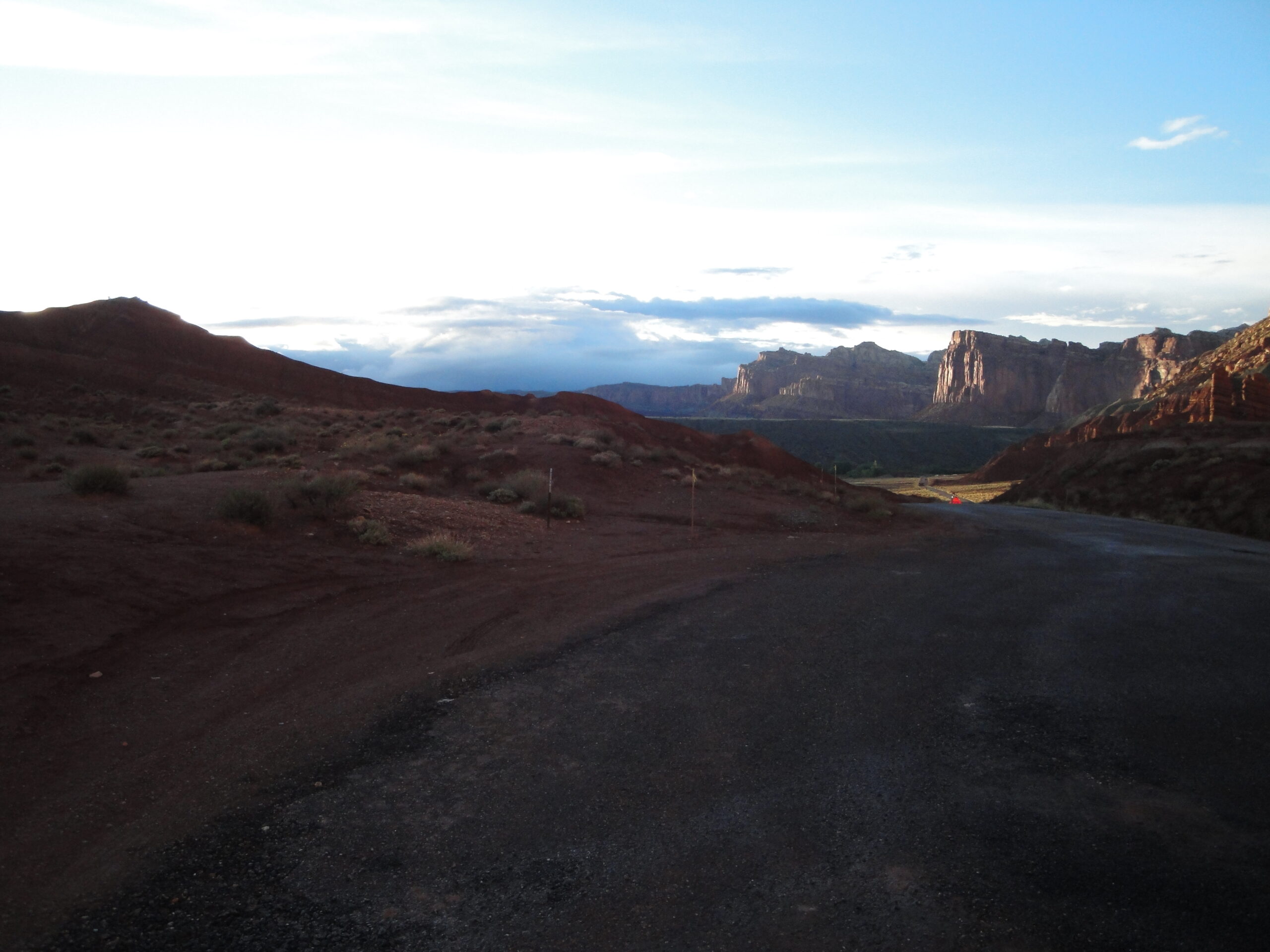
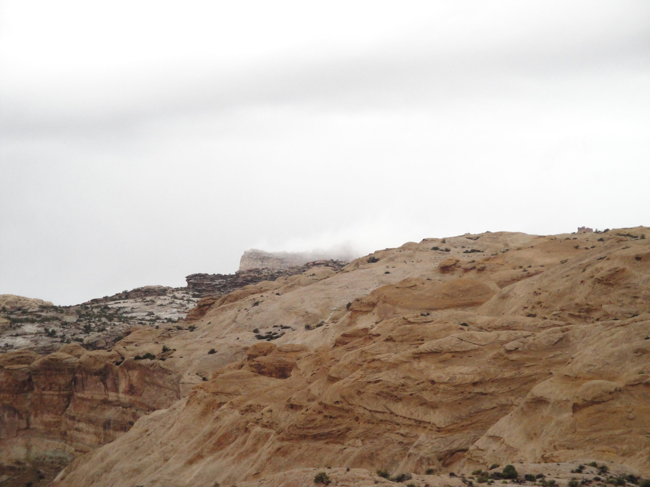
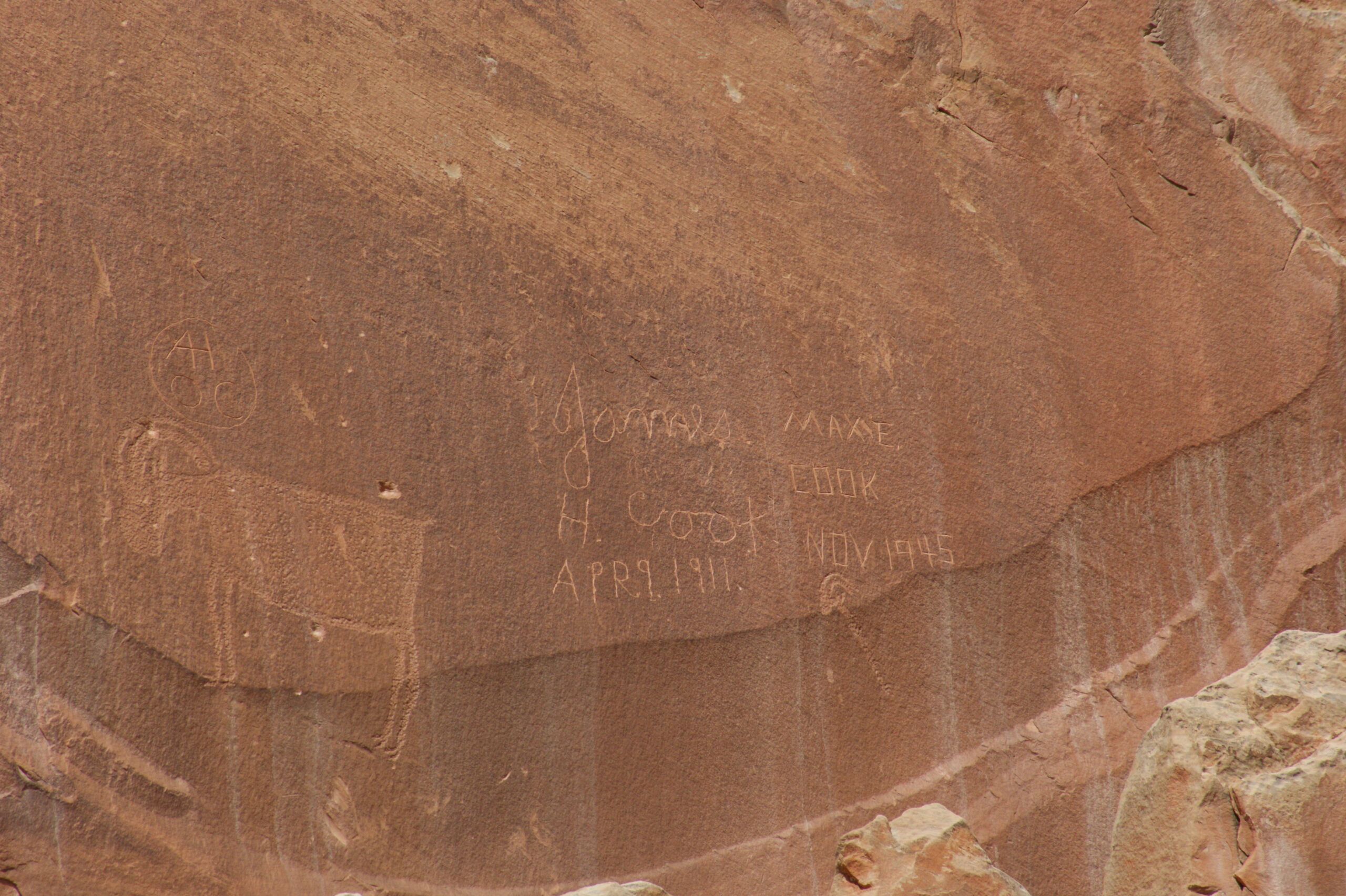
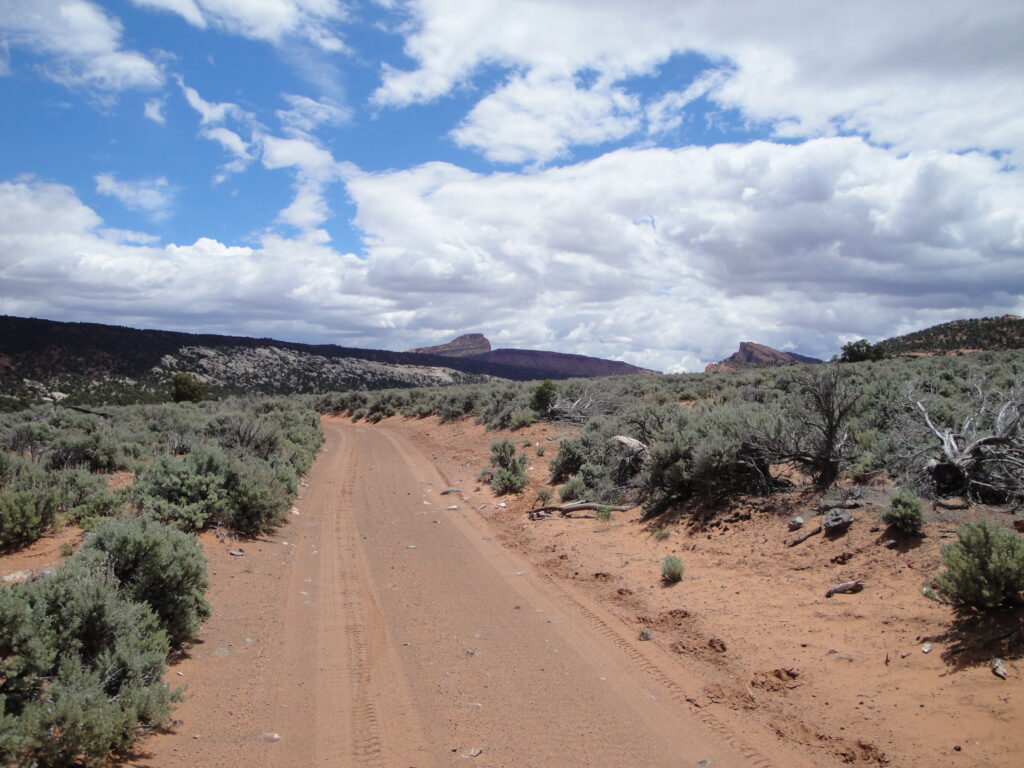
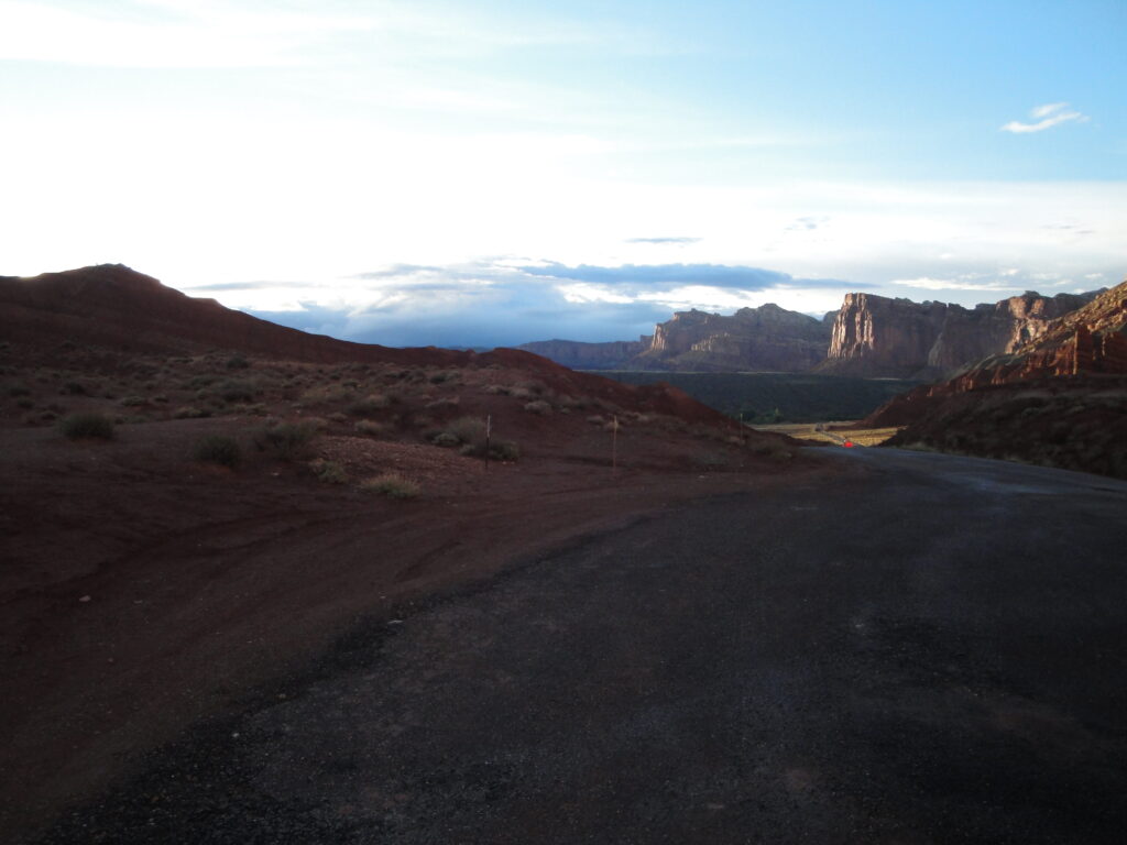
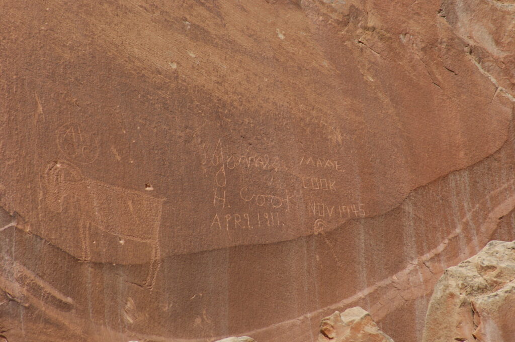
Once we moved down to Capitol Reef National Park the rain and the cool was quite intense for the middle of May. On the mountain there was snow and a lot of snow. Down lower in the park there were periods of heavy rain and consistent coolness. Although the weather was not cooperating with me I still went on my big long bicycle ride in Capitol Reef. The ride took me down through South Draw road. Typical of me I rode it backwards the more difficult direction. If you look at the the recommended direction on the National Park Services website they recommend going down from the Pleasant Creek campground on Boulder Mountain. I started from the park and rode on the dirt road up to the campground and back down the paved road. The ride was 54 miles from my bike computer which is two more miles than what the NPS website says. The ride ended up giving me tendonosis. While I was on the bike ride the others went and checked out the tanks and hyroglyphs.
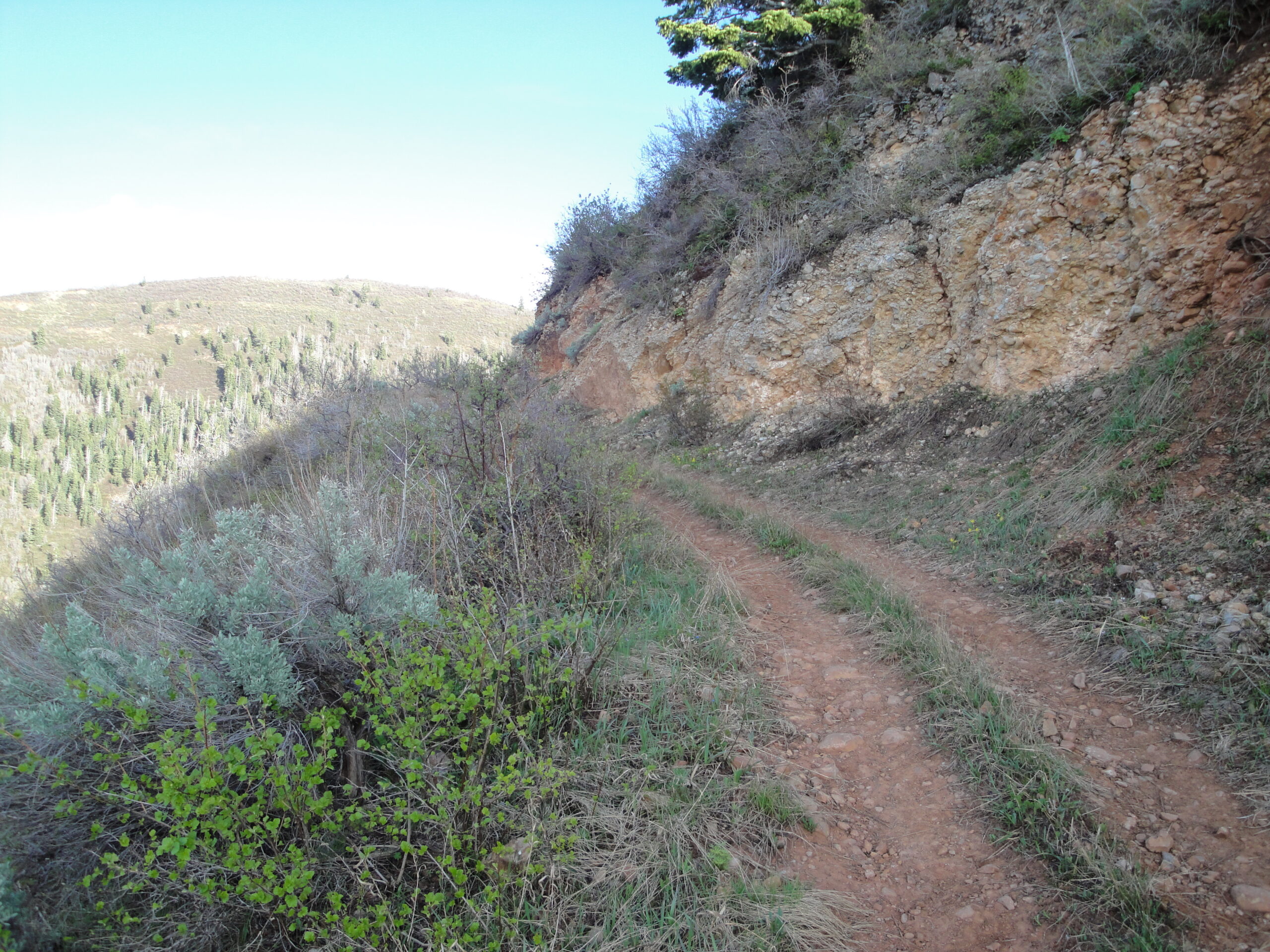
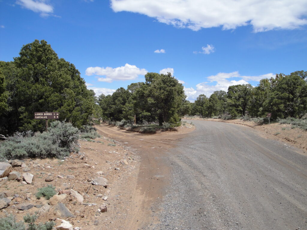
The last ride I went on that was near Pine Lake. The day before I rode this trail I rode to the end of the rode so that I could figure out the trail head and not waste time trying to find the trail. However on Friday when I rode up to what I thought was the trail and I rode down the closed down rode/atv trail that was off to the right of the the end of the road. The first time I rode down I took the left fork which turned into a loop. So when I found out that the trail I went down was a loop I did it again looking much harder for the trail head and came up empty. So in a last ditch effort before I rode back to camp I went to where the road ended and looked carefully at the trail sign. I noticed that the trail sign was angled slightly towards pointing down the hill. Just to the left of the trail sign was the beginning of the trail.
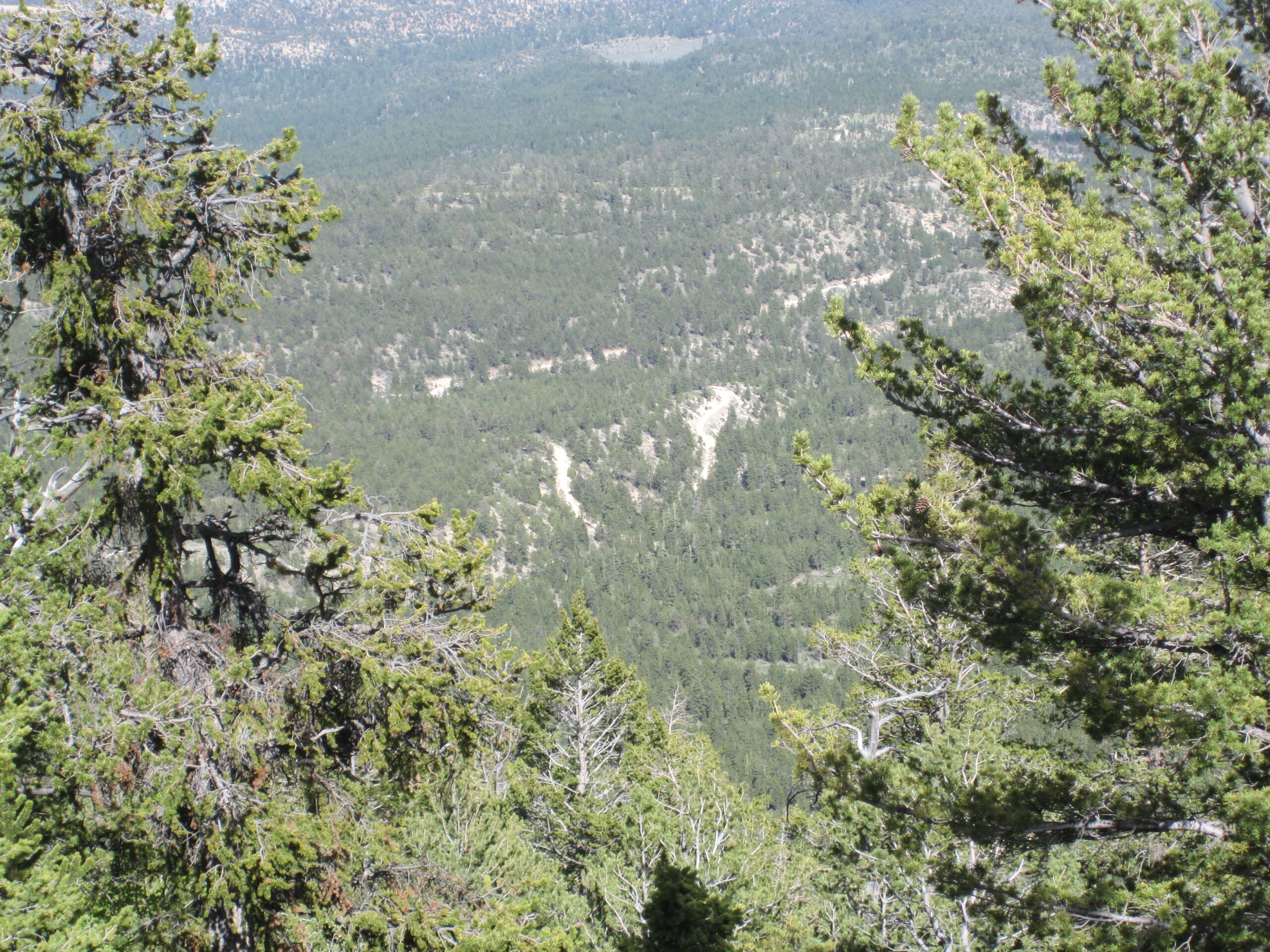
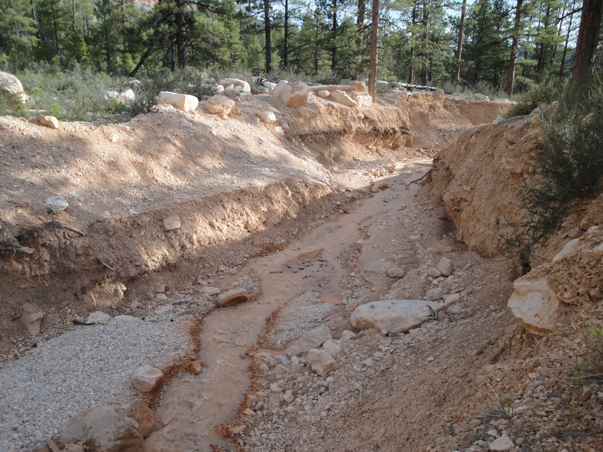
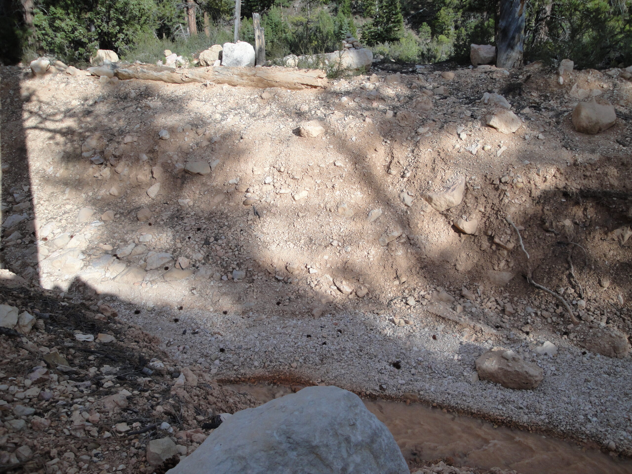
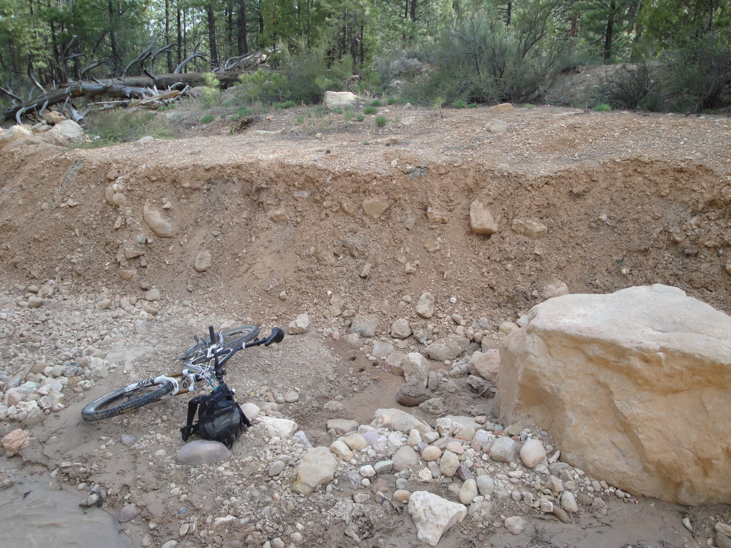
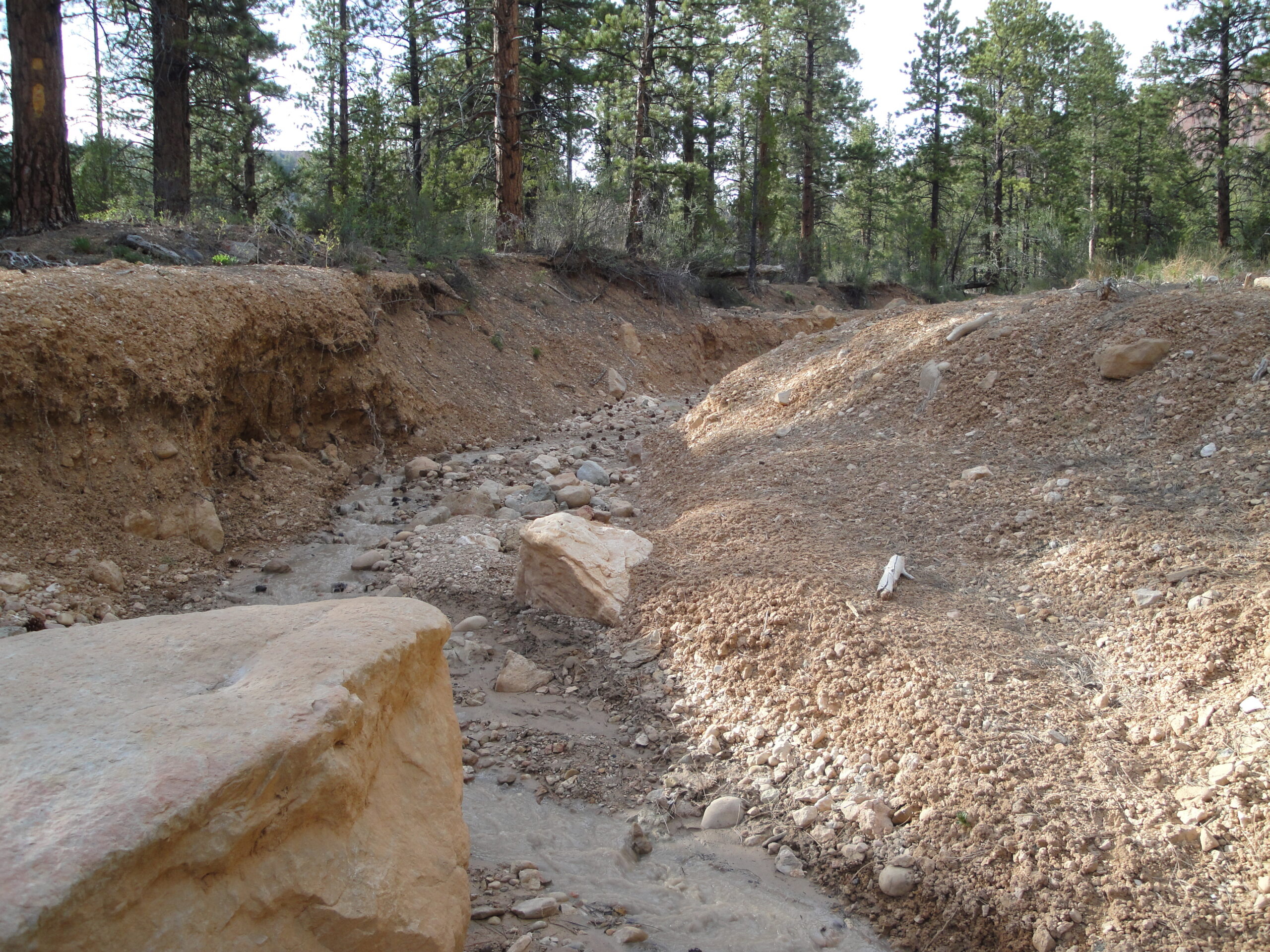
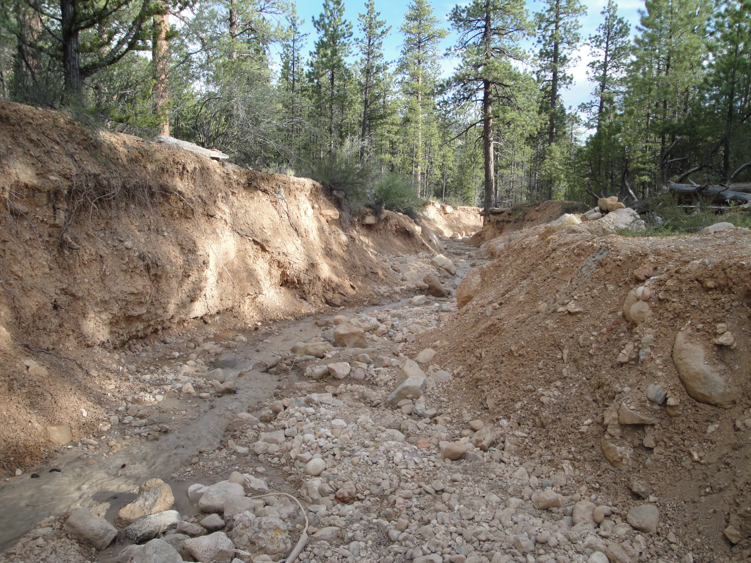
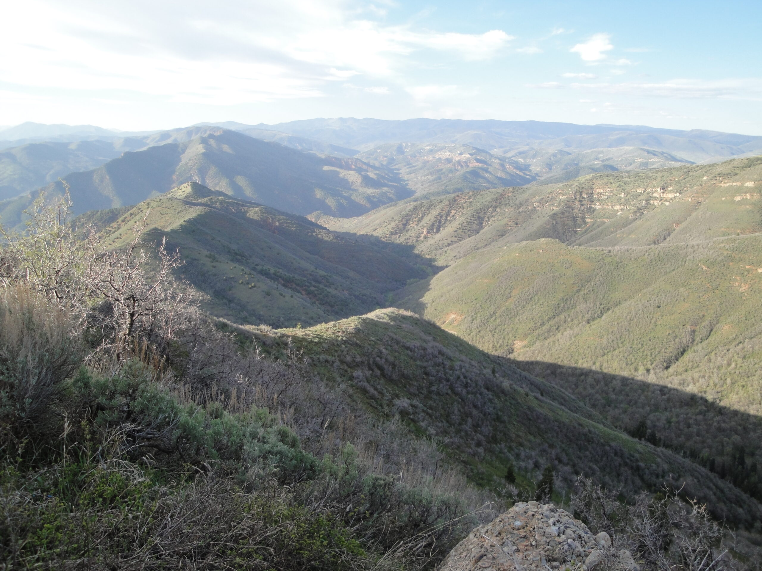
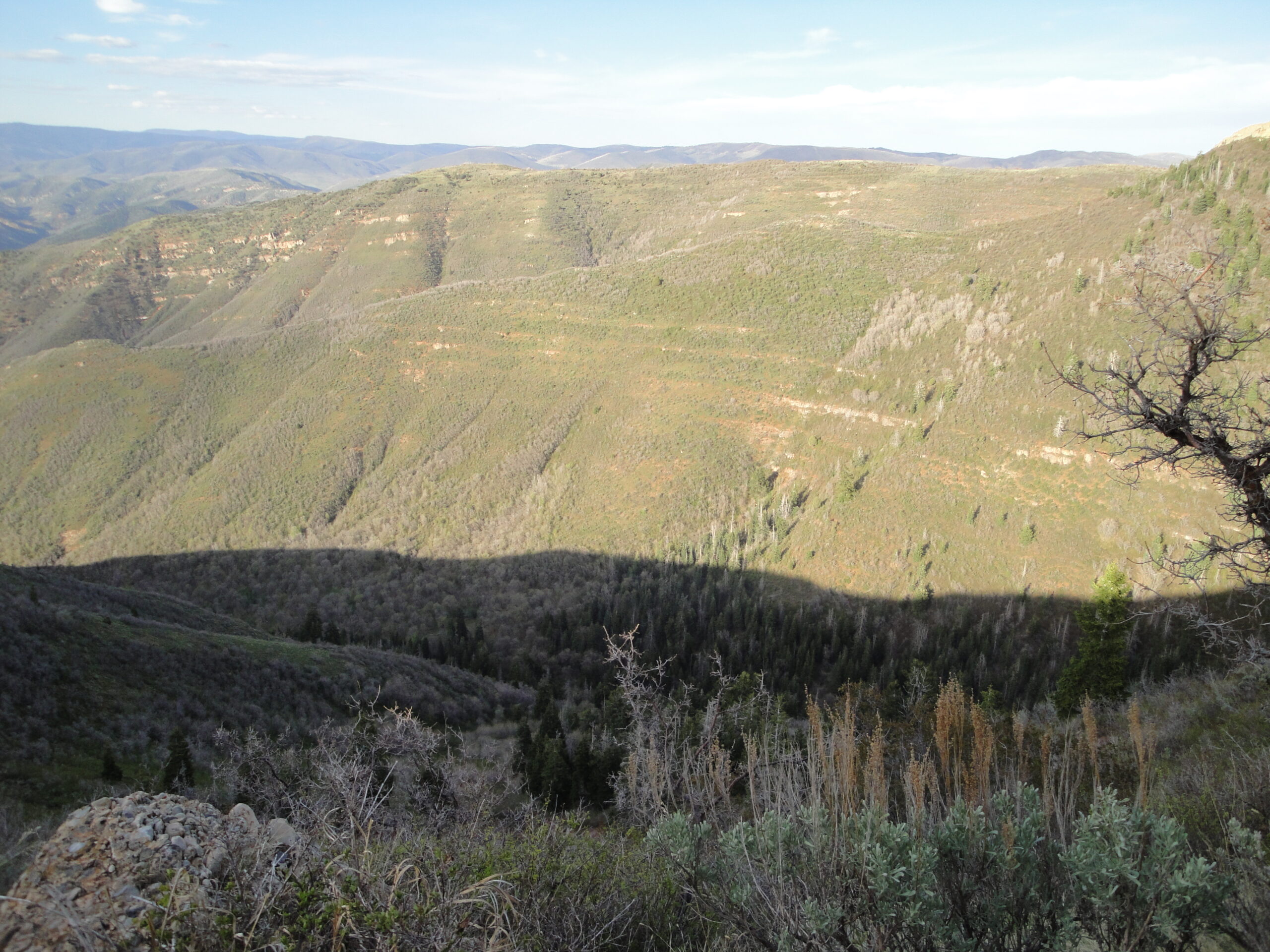
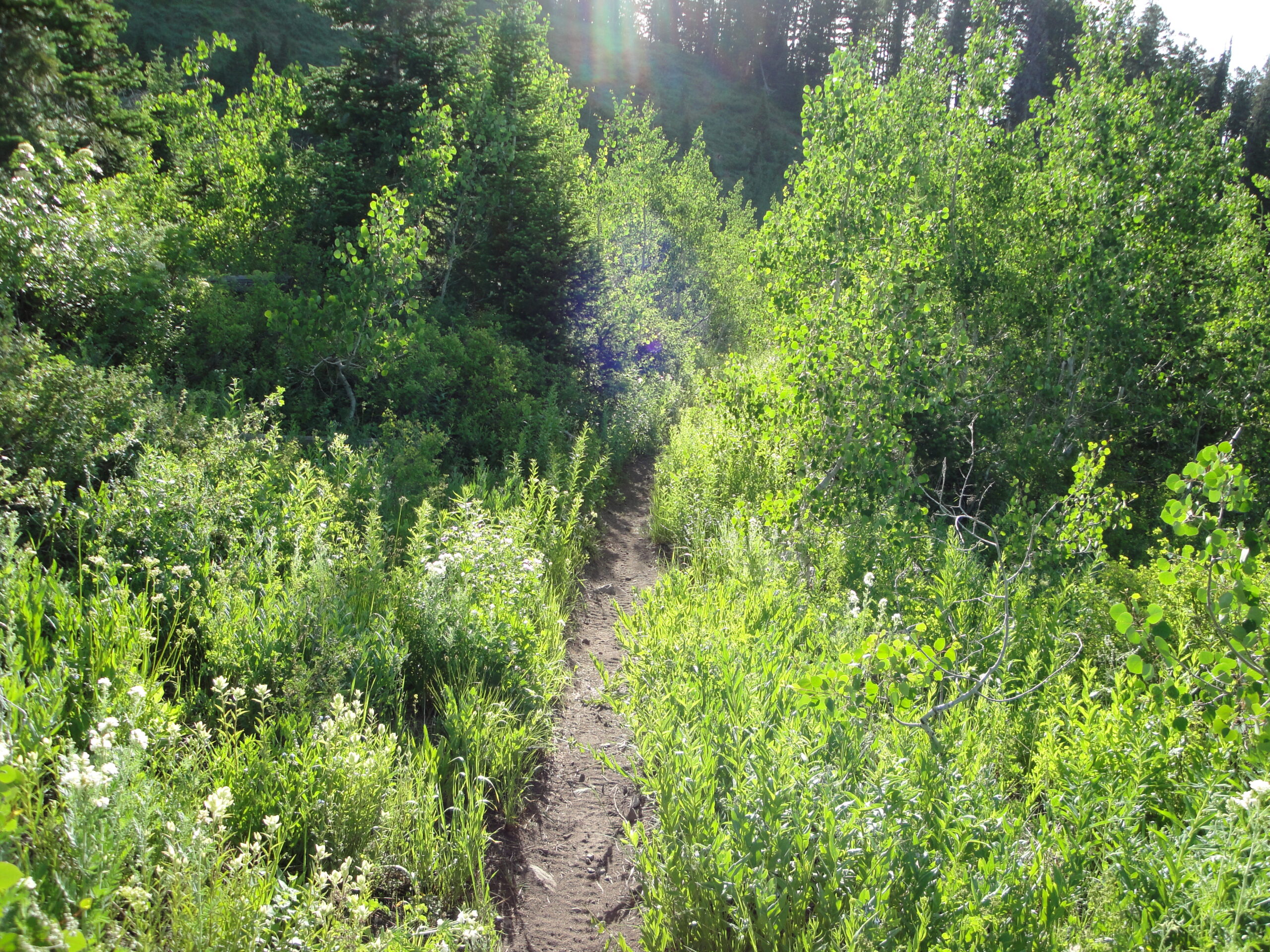
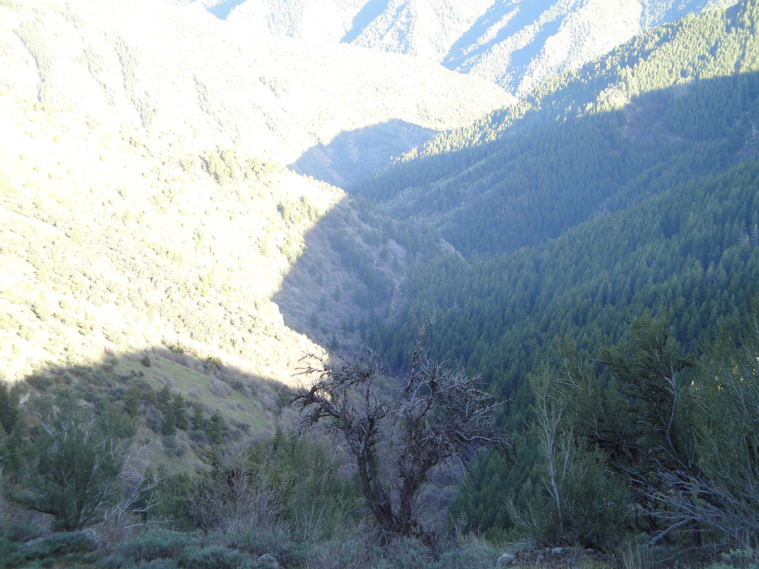
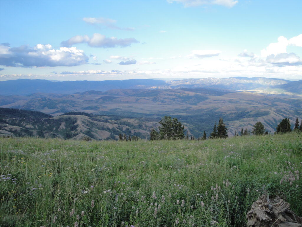
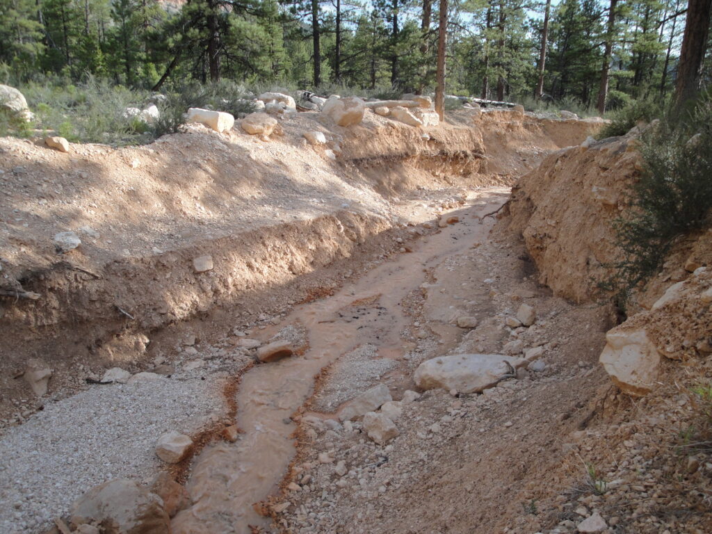
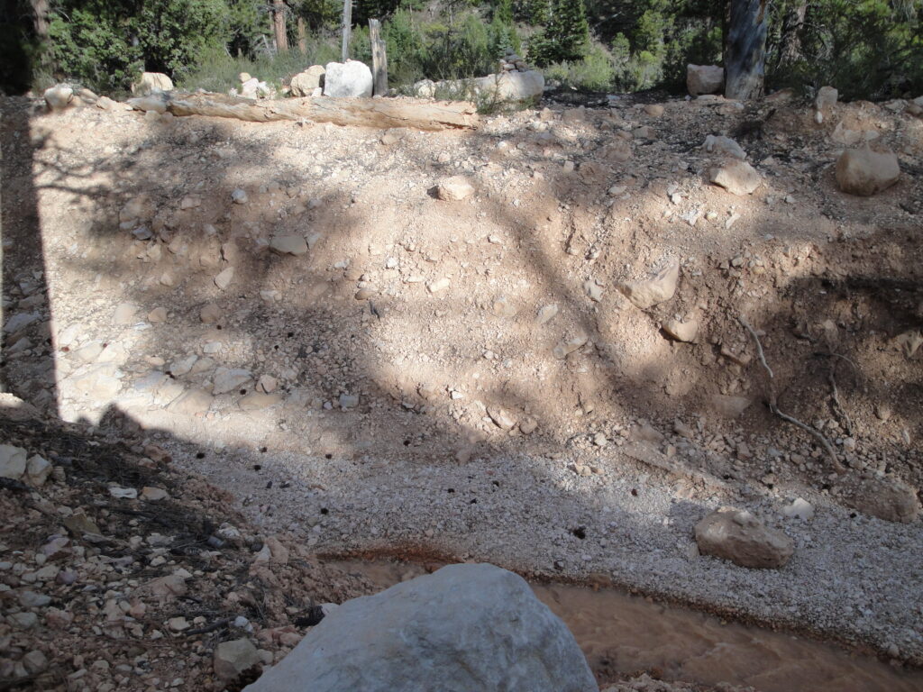
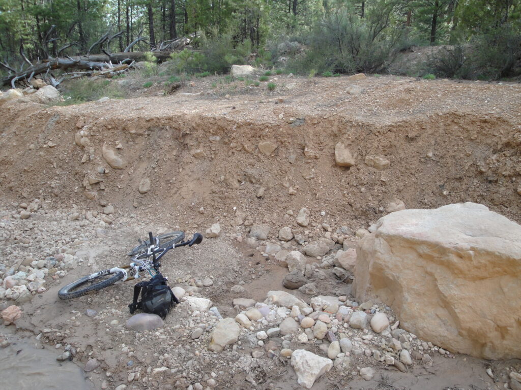
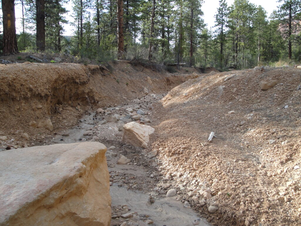
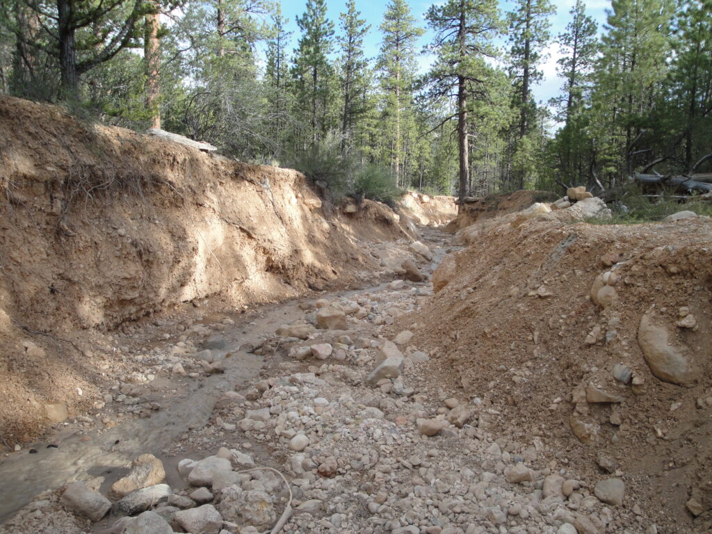
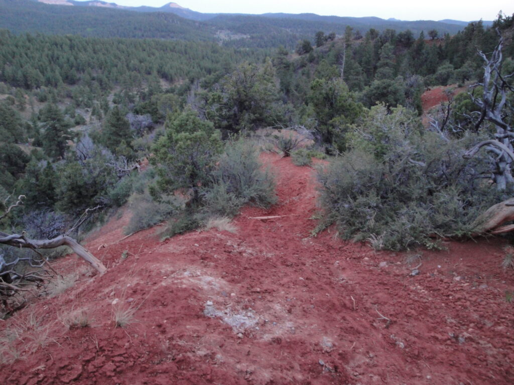
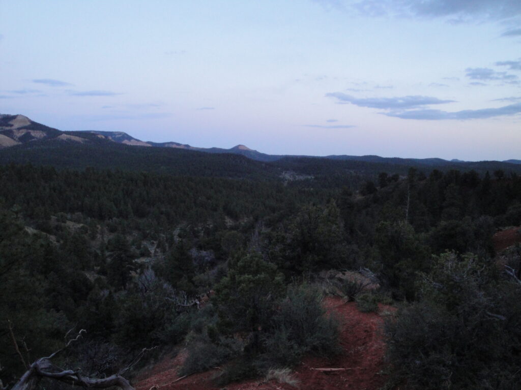
I finally started to ride down the Henderson Canyon trail and it was rather steep with a steep slope to the sides of the trail. The key is not to mess up and fall down the mountain. Once I got to the bottom of the canyon after descending about a thousand feet I had to deal with very deep washes. I am suspecting that the washes were formed last year when there was a record deep snow pack. I found places so that I could climb down and out of the washes. The washes were deeper than 15 feet which made crossing them difficult. Down in the bottom there was a trail sign for the distance to the end of the Below the Point trail and how much further down the canyon I had to ride to get to the fork for going back up the Burro Canyon trail.
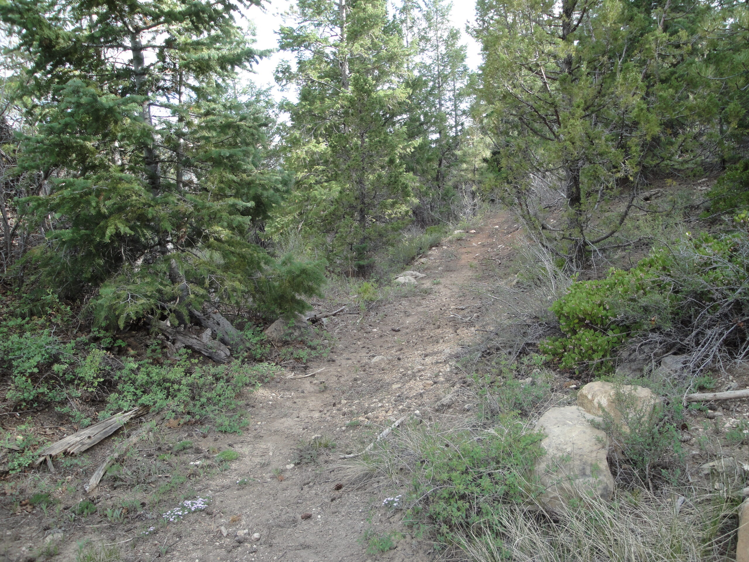
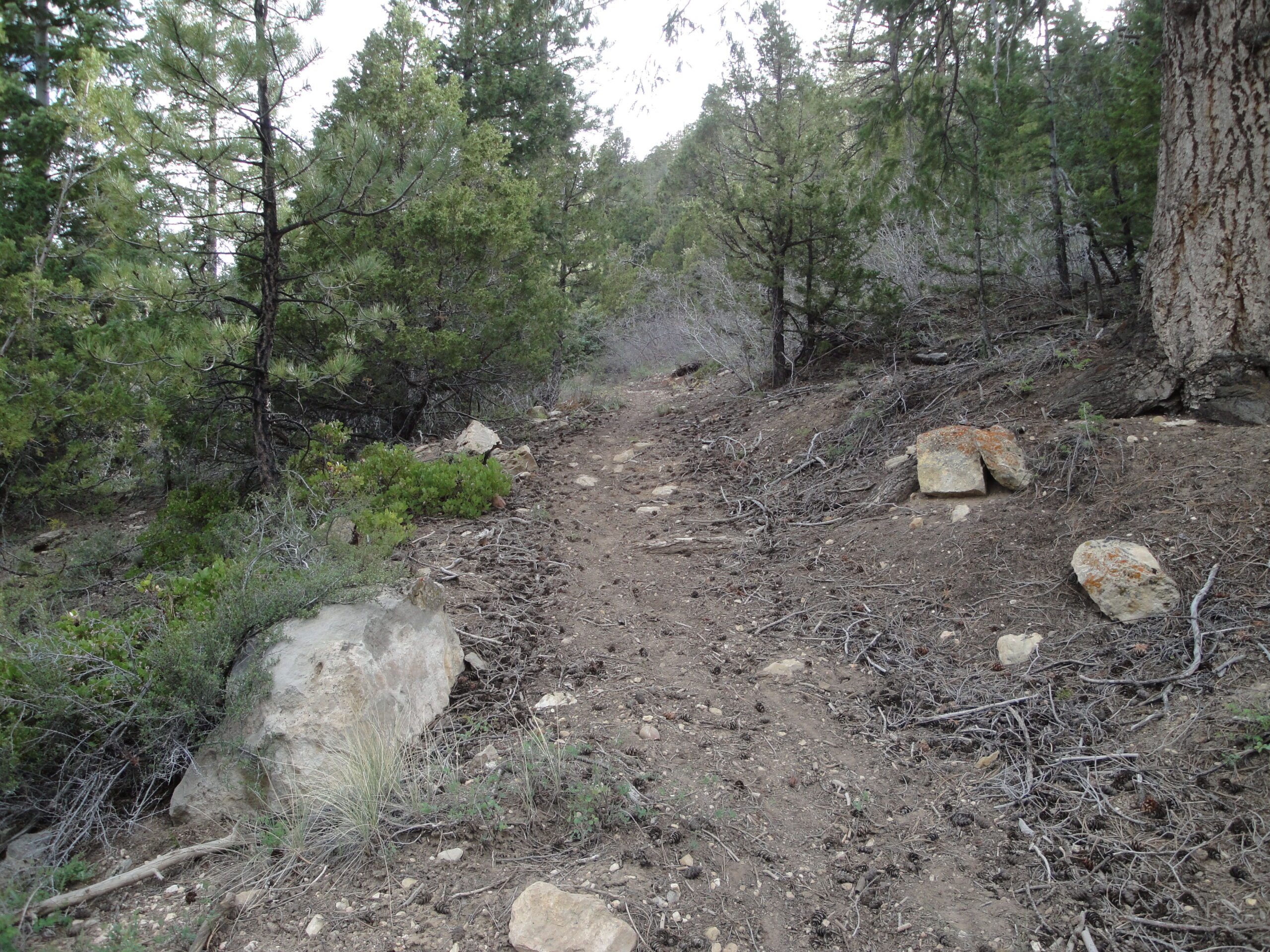
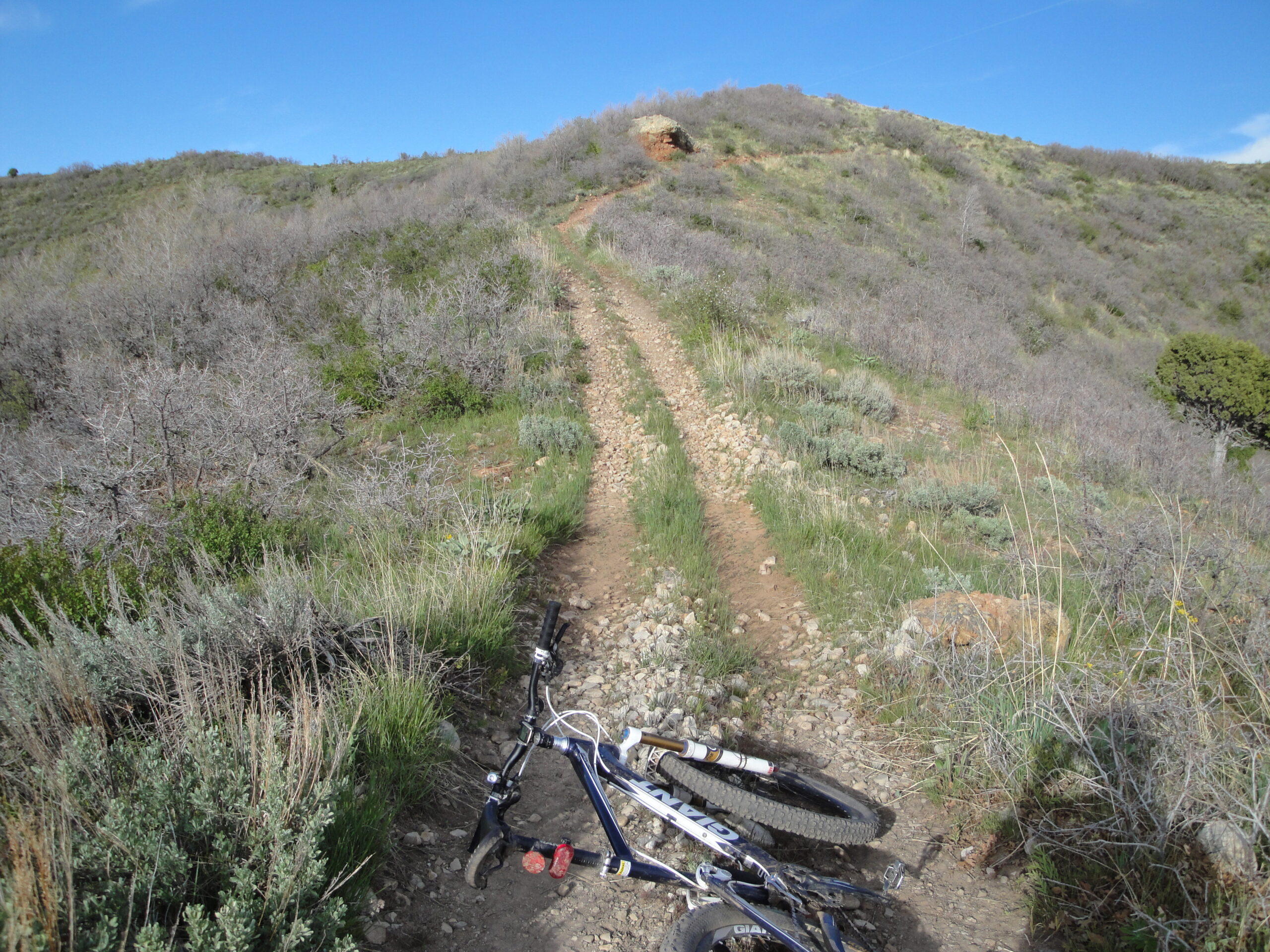
I chose to go on the Below the Point trail. The trail continued through the bottom of the canyon until I reached the other side of the canyon. After I reached the other side I had to ride up the hill and what I thought was a small climb turned into riding up 1,000 feet of steep agressive climbing. The strategy was to sprint through the short extremely steep spots and then slow down to a crawl to recover for the next extreme stint. I was able to ride nearly the entire length of the climb. I ran out of time riding up the trail and so was unable to complete the last mile and a half of trail. Looking at the terrain on Google Earth made me realize that I wouldn’t have lost much elevation by going all the way to the end of the trail at the forest road.
I was running short on day light and so I turned around at 7:30PM to ride back. I arrived back down at the bottom of the canyon where the tail signs were and I could ride back up the steep trail which would take me a while to do because of the steepness or I could ride two more miles down and then take the Burro Canyon trail.
I took the turn to the left which lead down to the Burro Canyon trail thinking that since it was longer I wouldn’t have as steep of a trail. Once I arrived at the trail head for the Burro Canyon I started to ride up and quickly realized that the trail was rather steep. The trail was as steep as it could possibly be without being a cliff. The first mile was only about half ridable until I got up about 500 feet of elevation climbing. The second mile had another three hundred feet before I was back at the elevation of the camp. The last little bit was done on an ATV trail which wasn’t steep. I did stop to put on my bicycle lights once I had ridden two miles up Burro Canyon because the day had passed and was now dark. I made it off of the trail before I completely ran out of daylight which was my goal. I arrived back at camp at about 9:30PM.
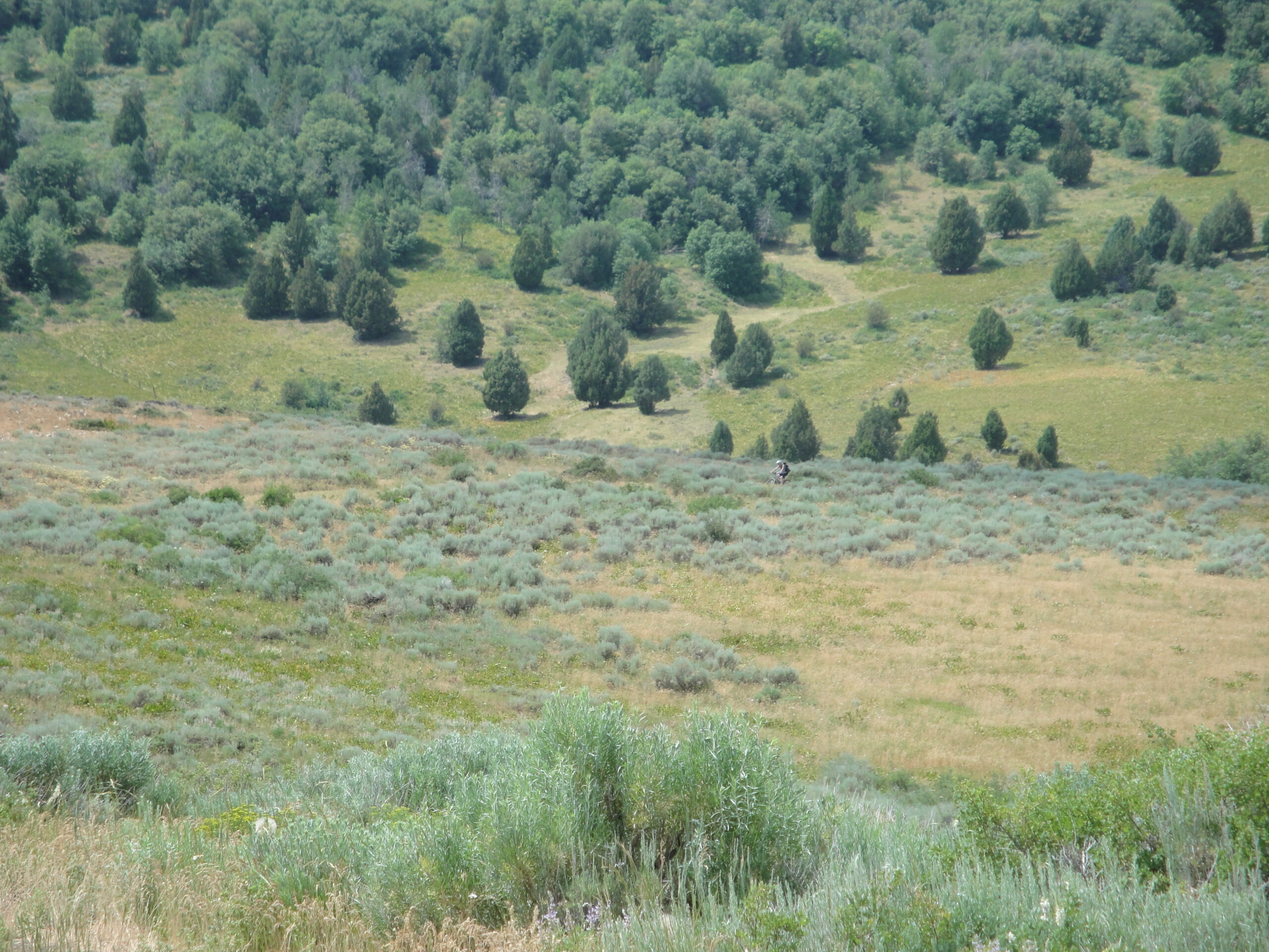
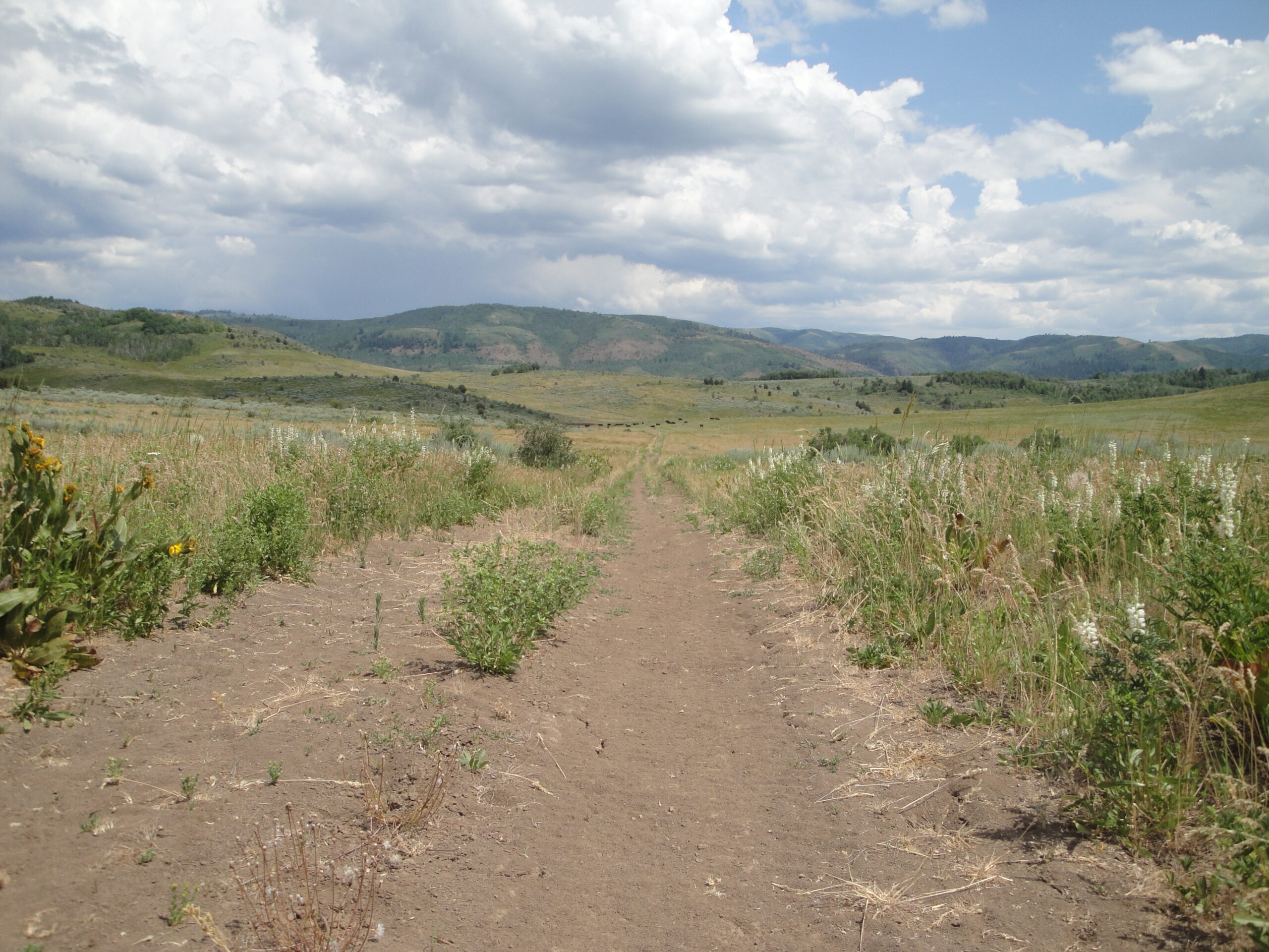
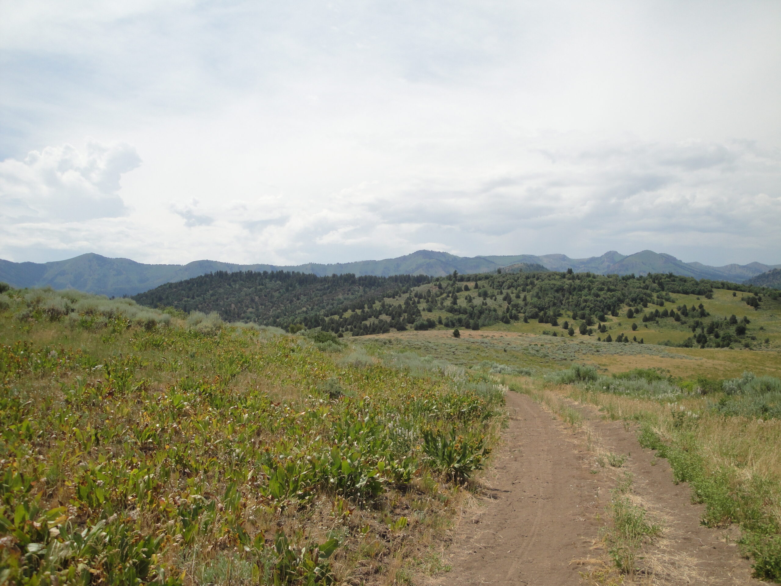
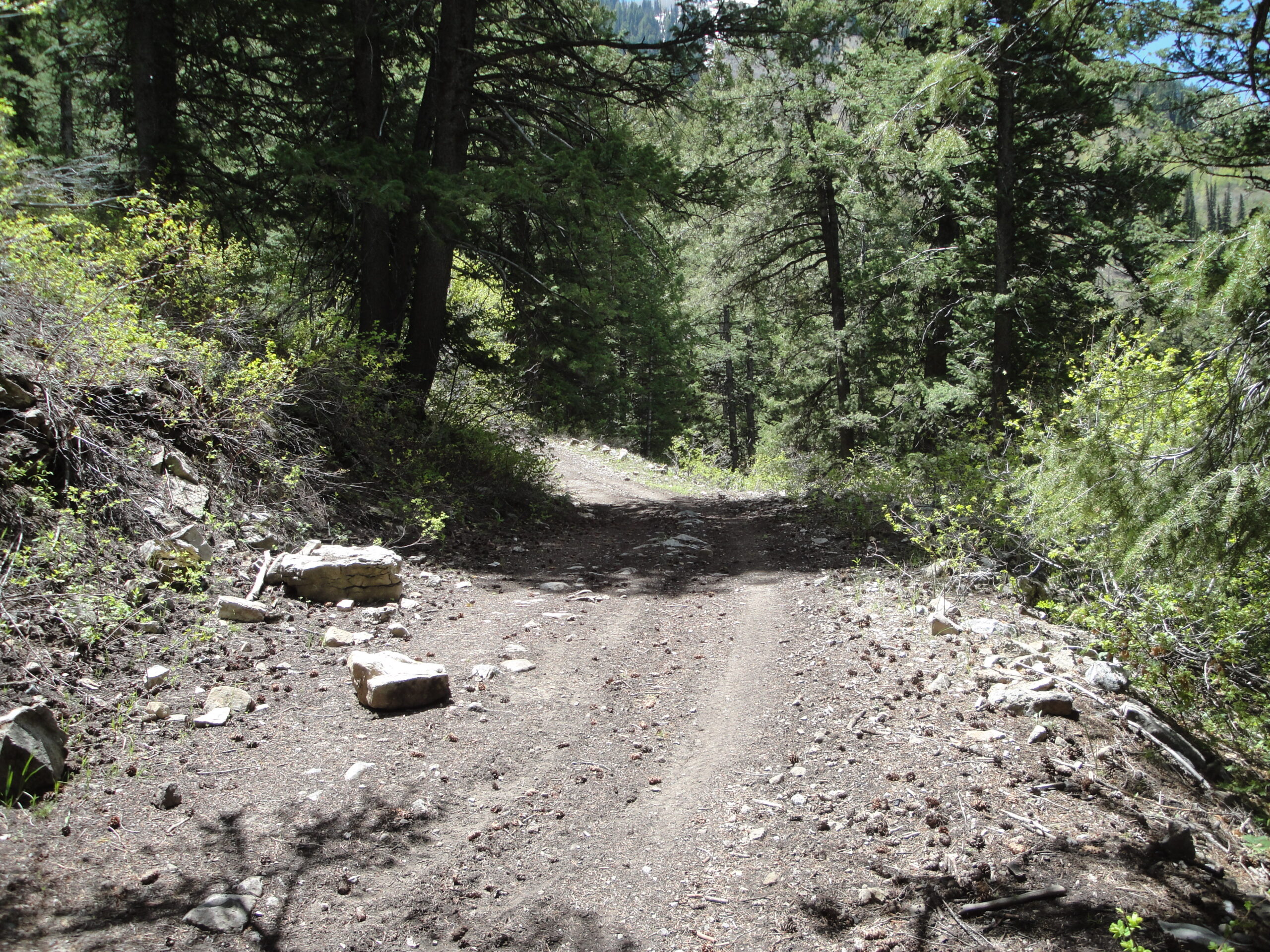
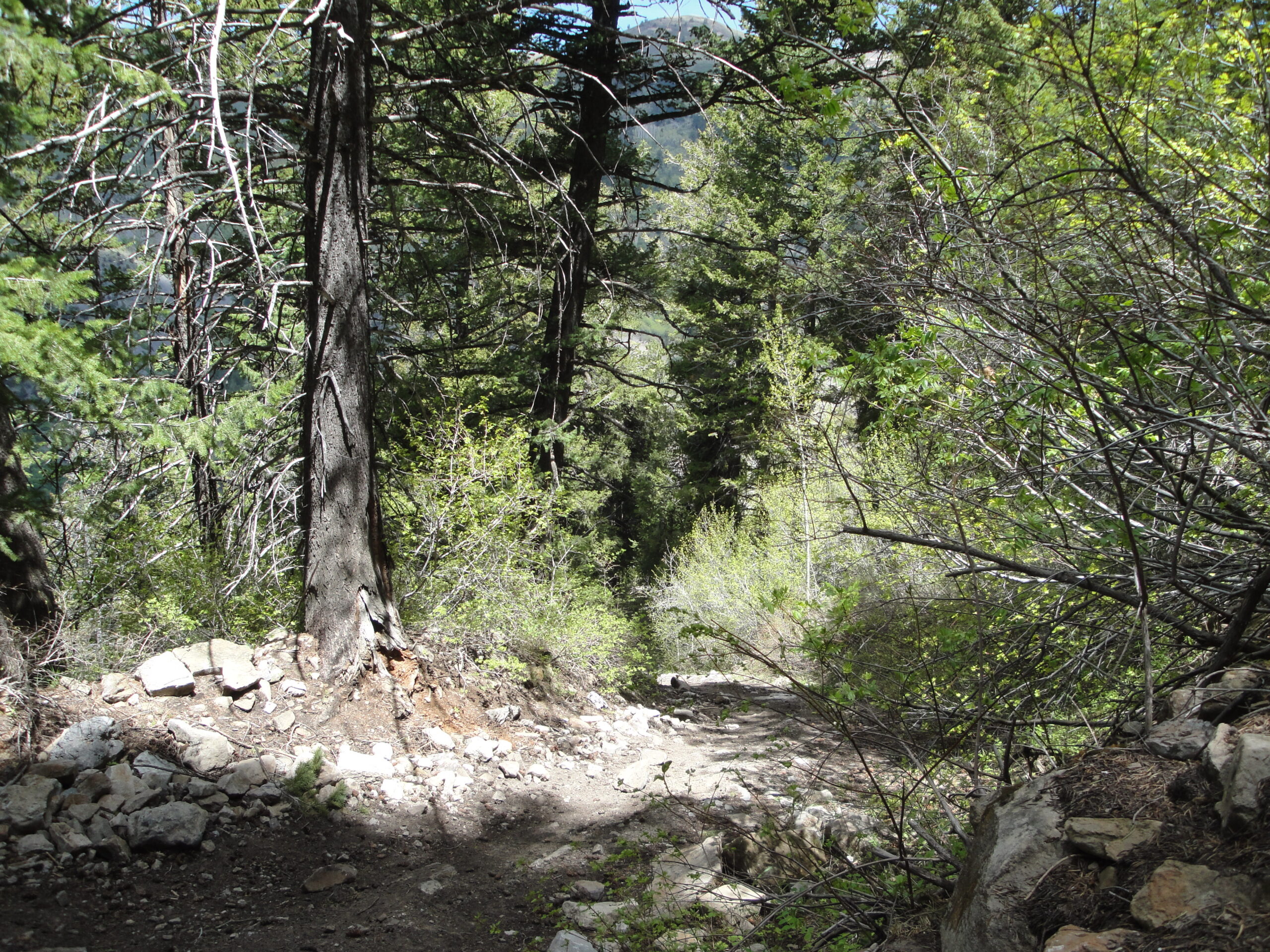
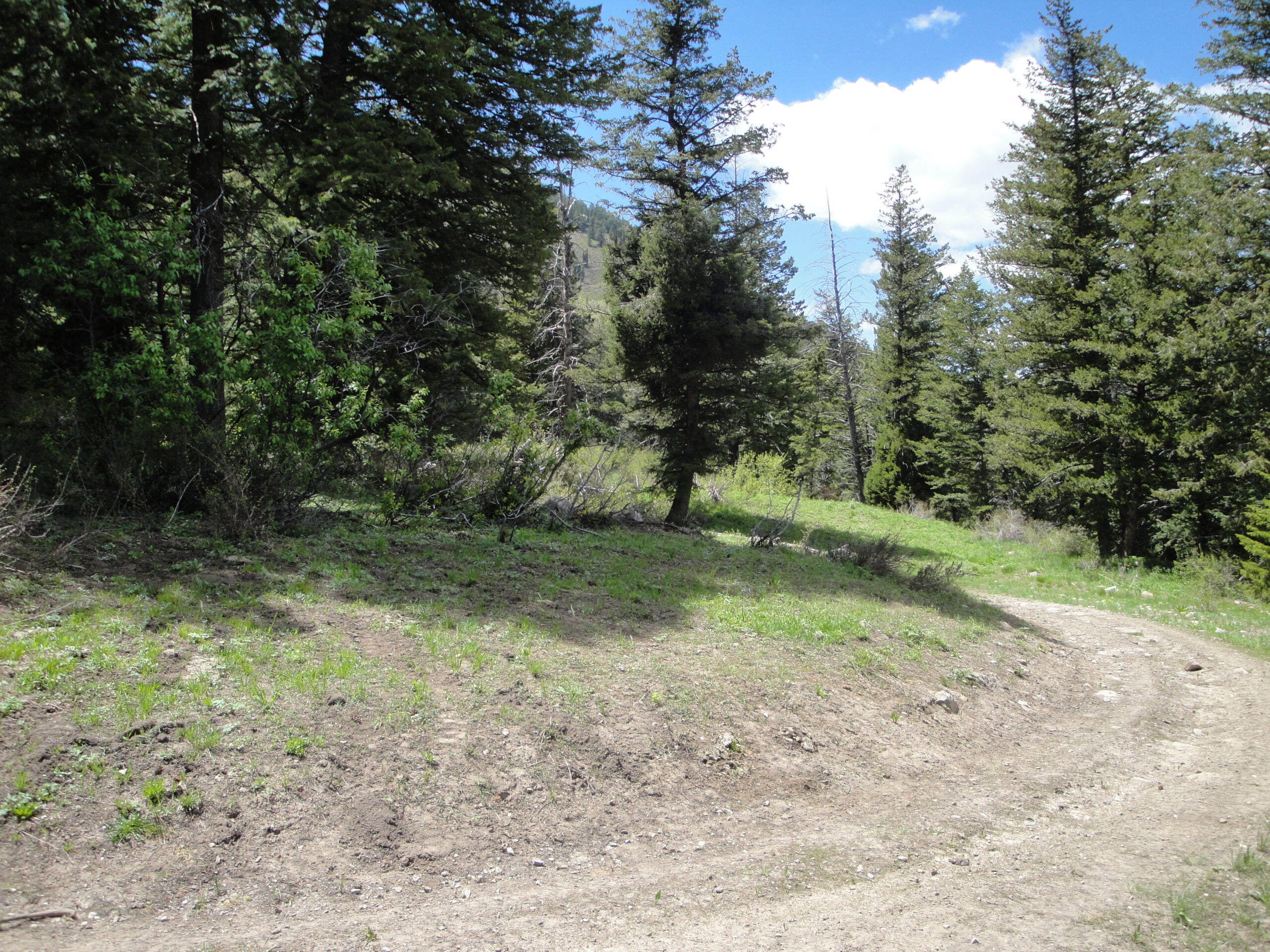
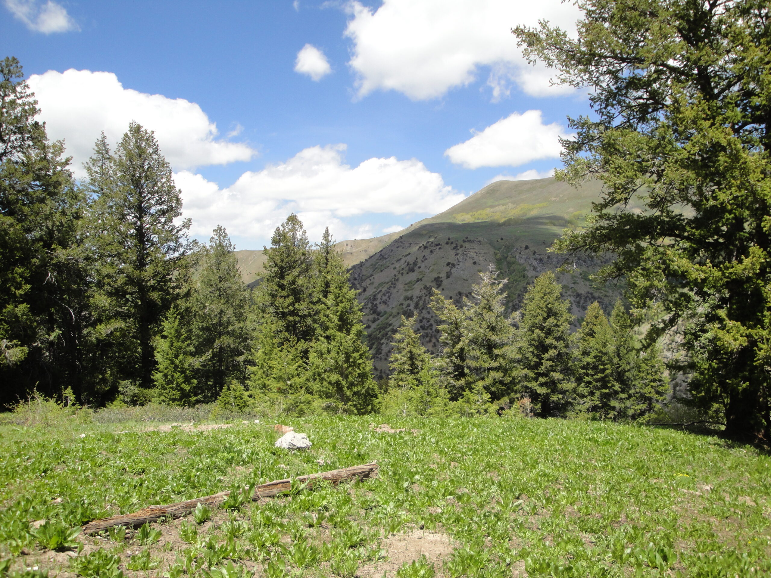
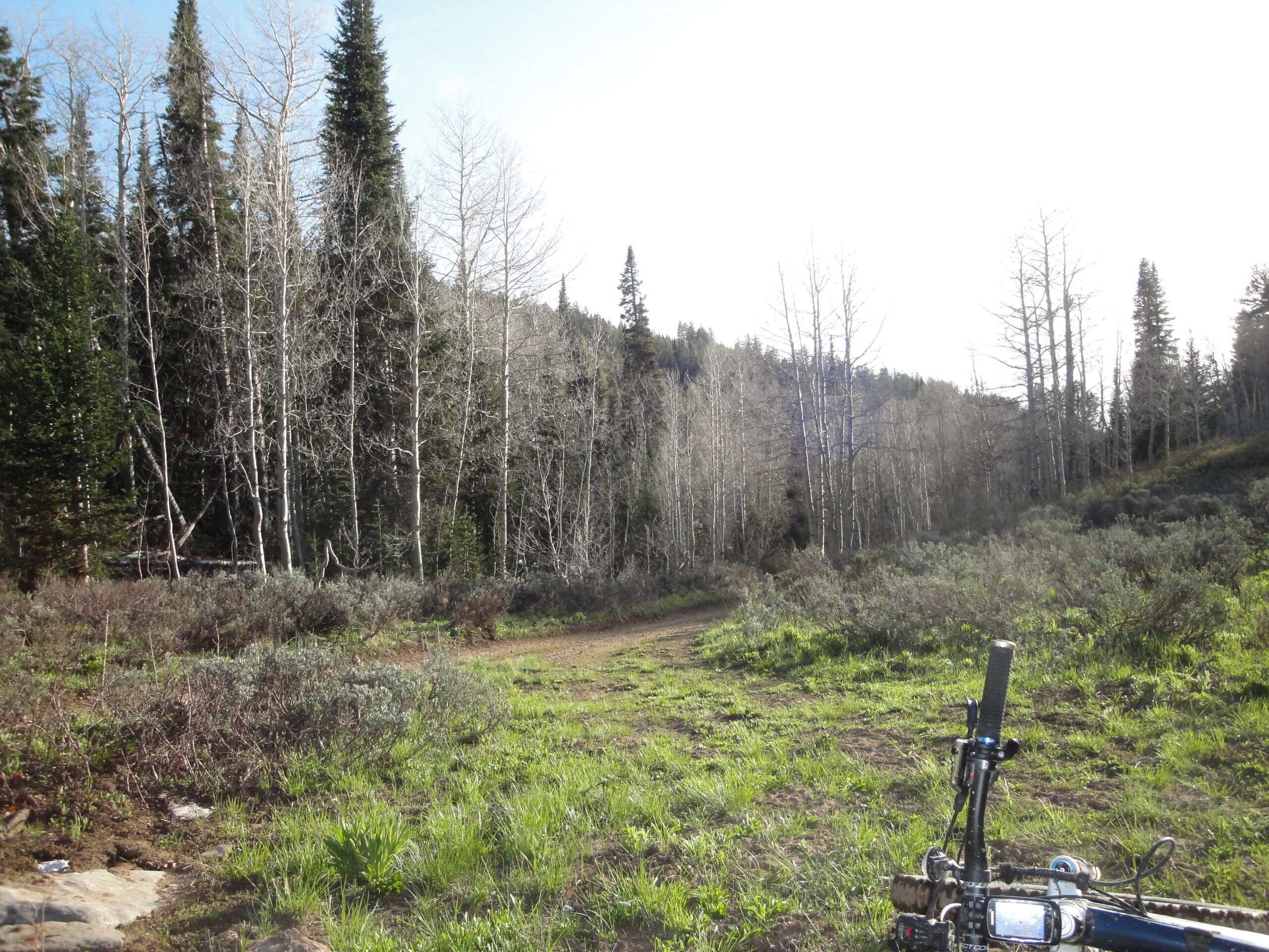
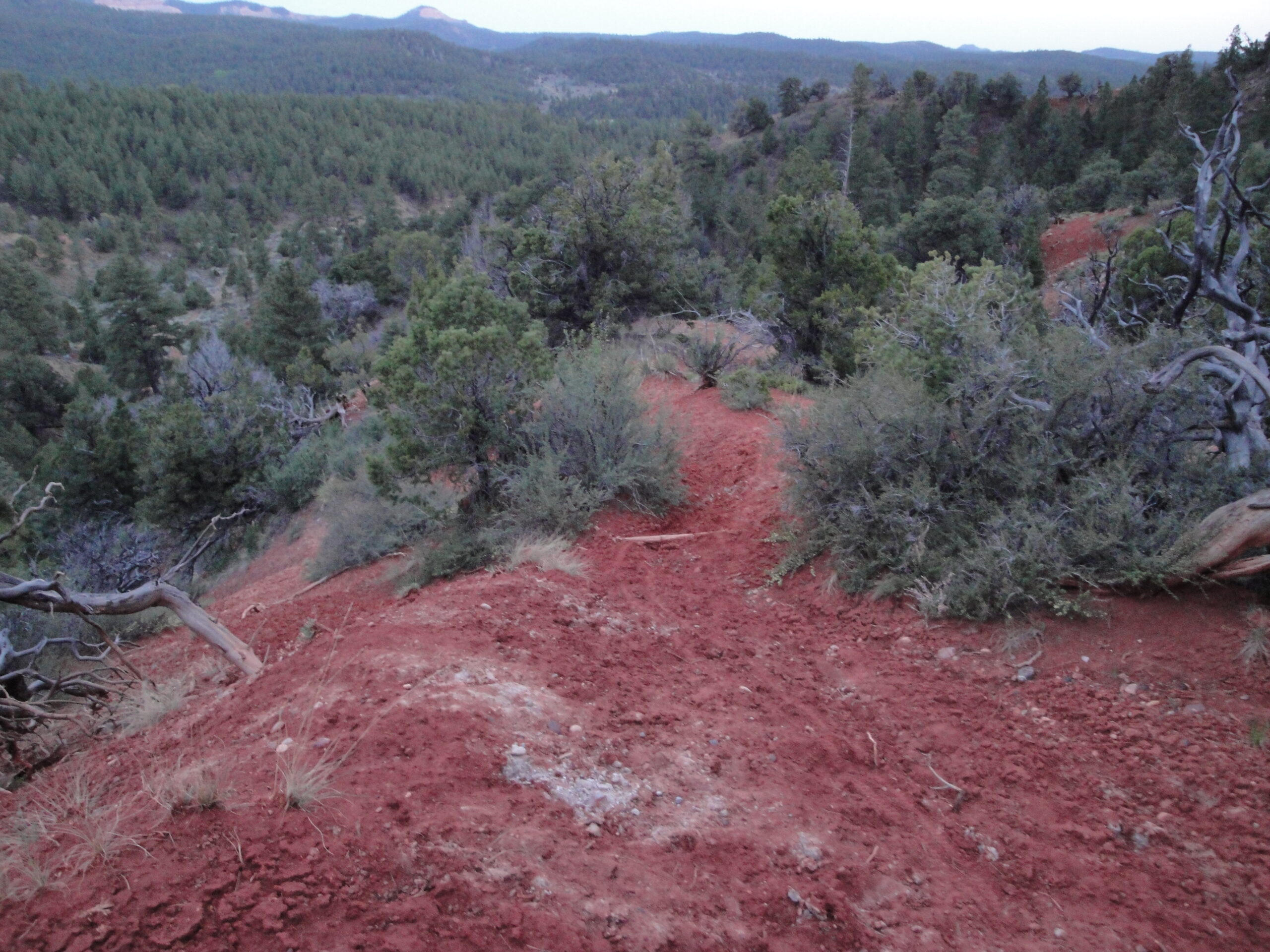
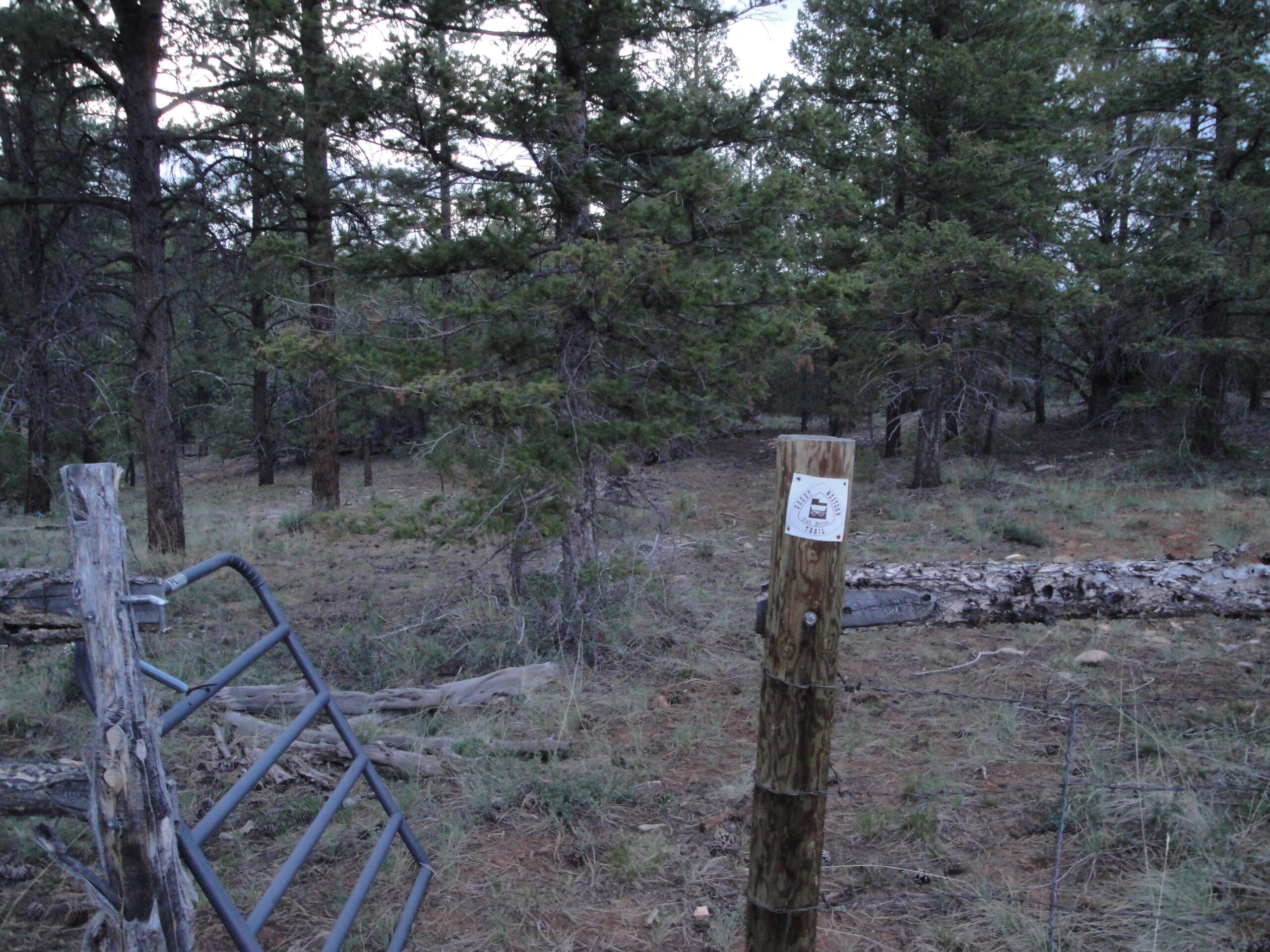
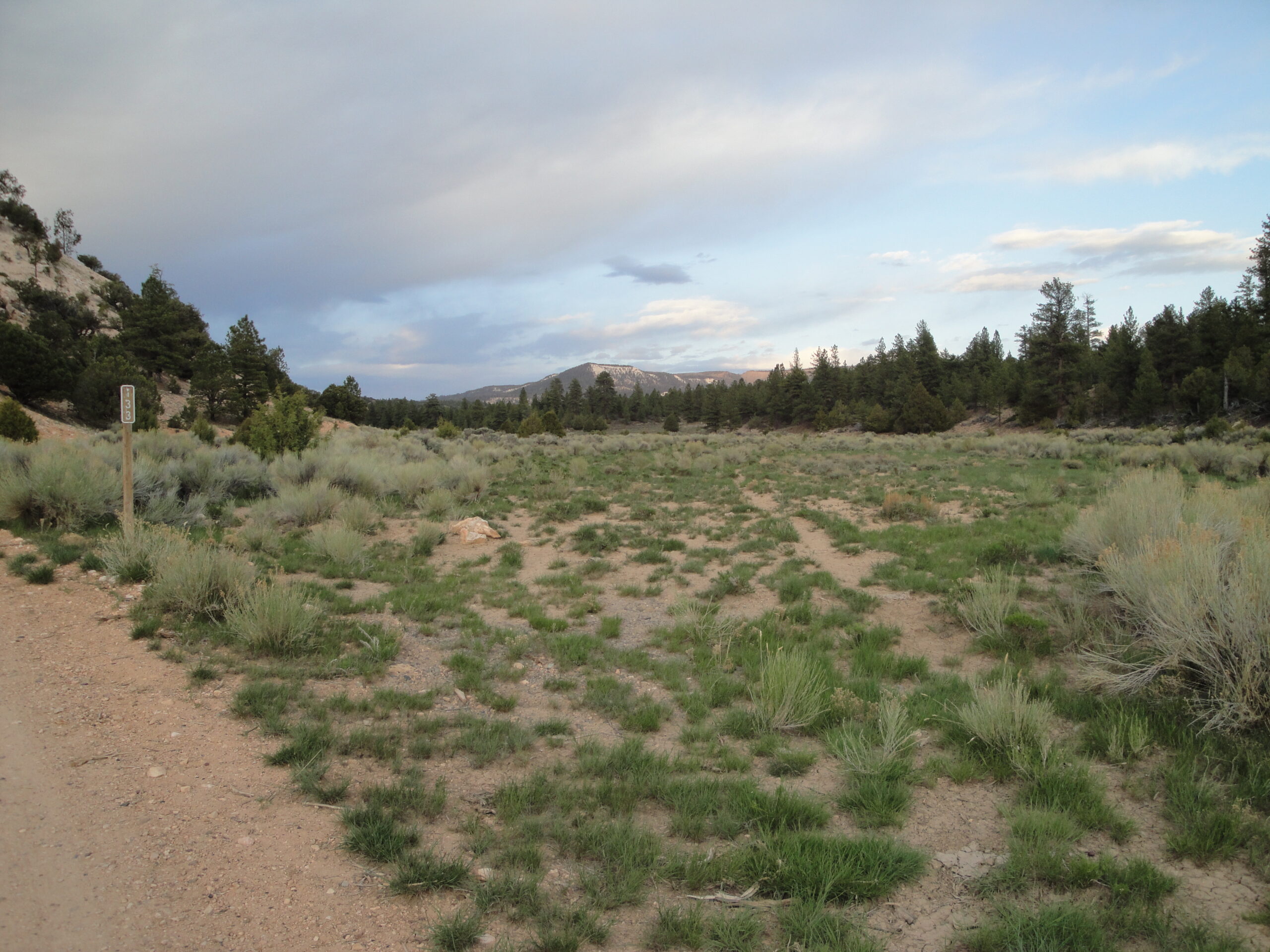
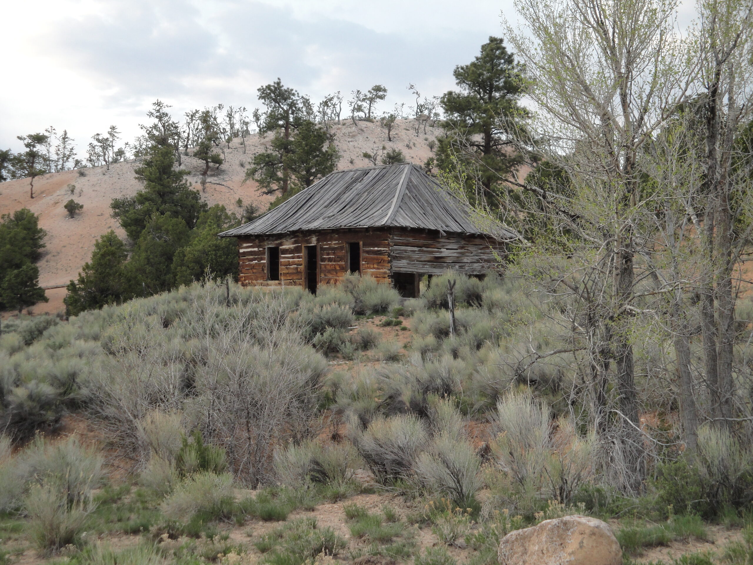
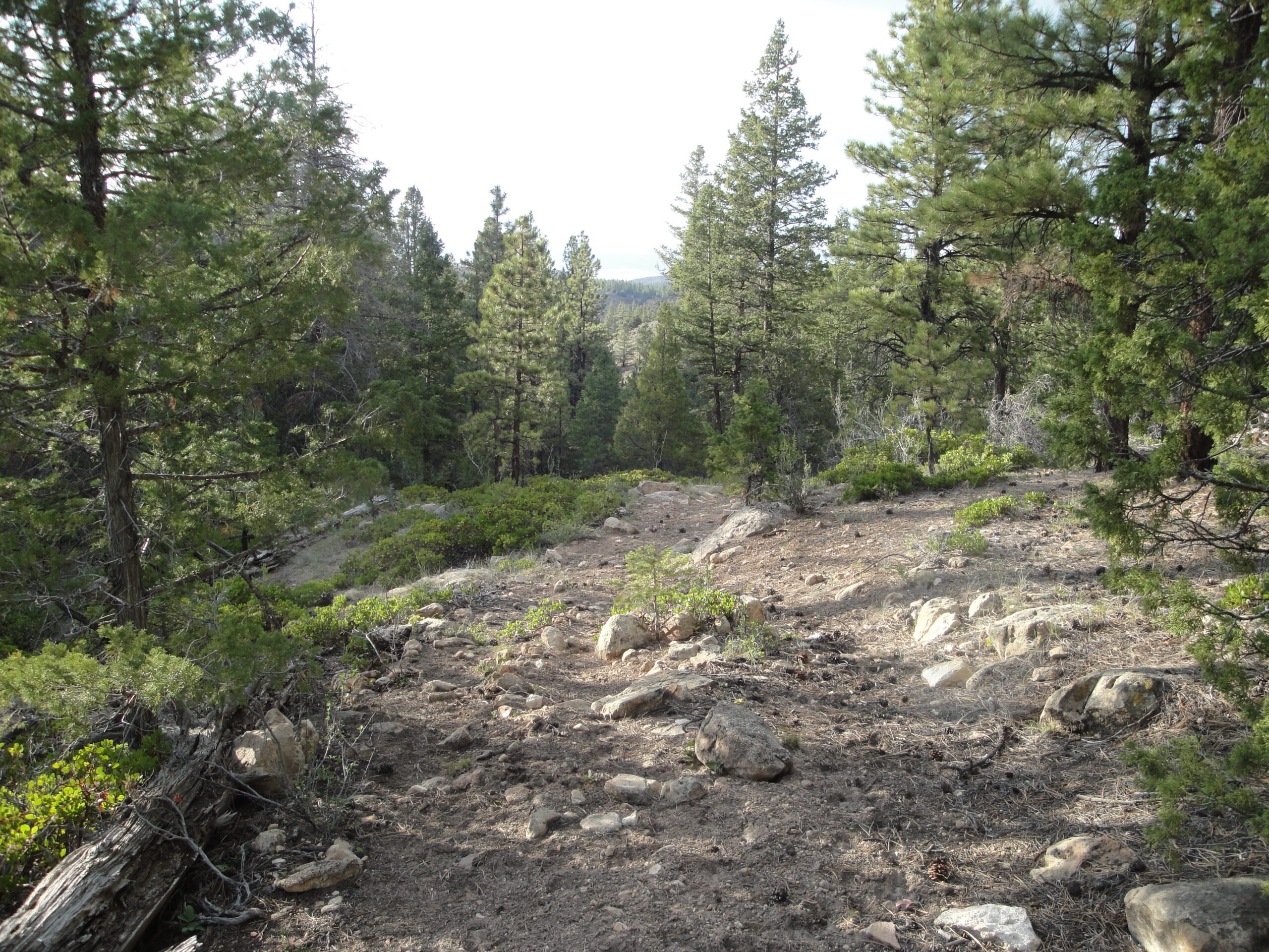
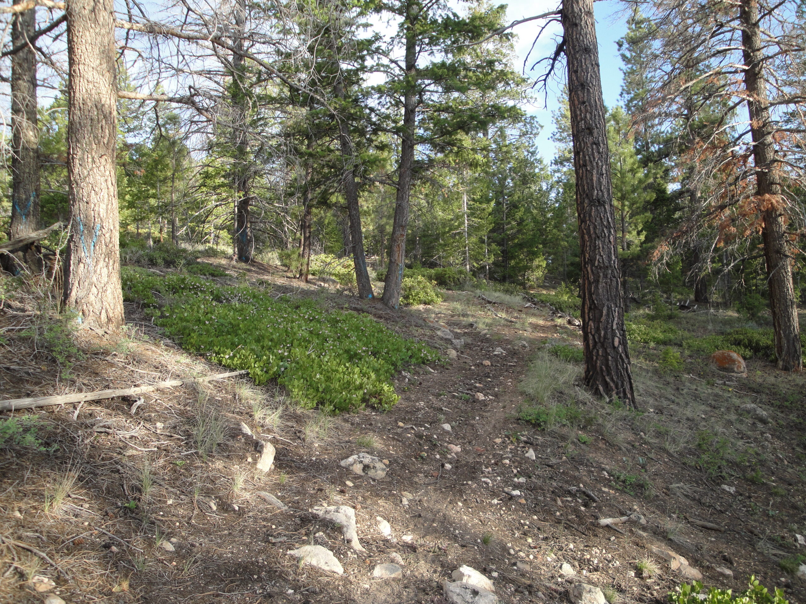
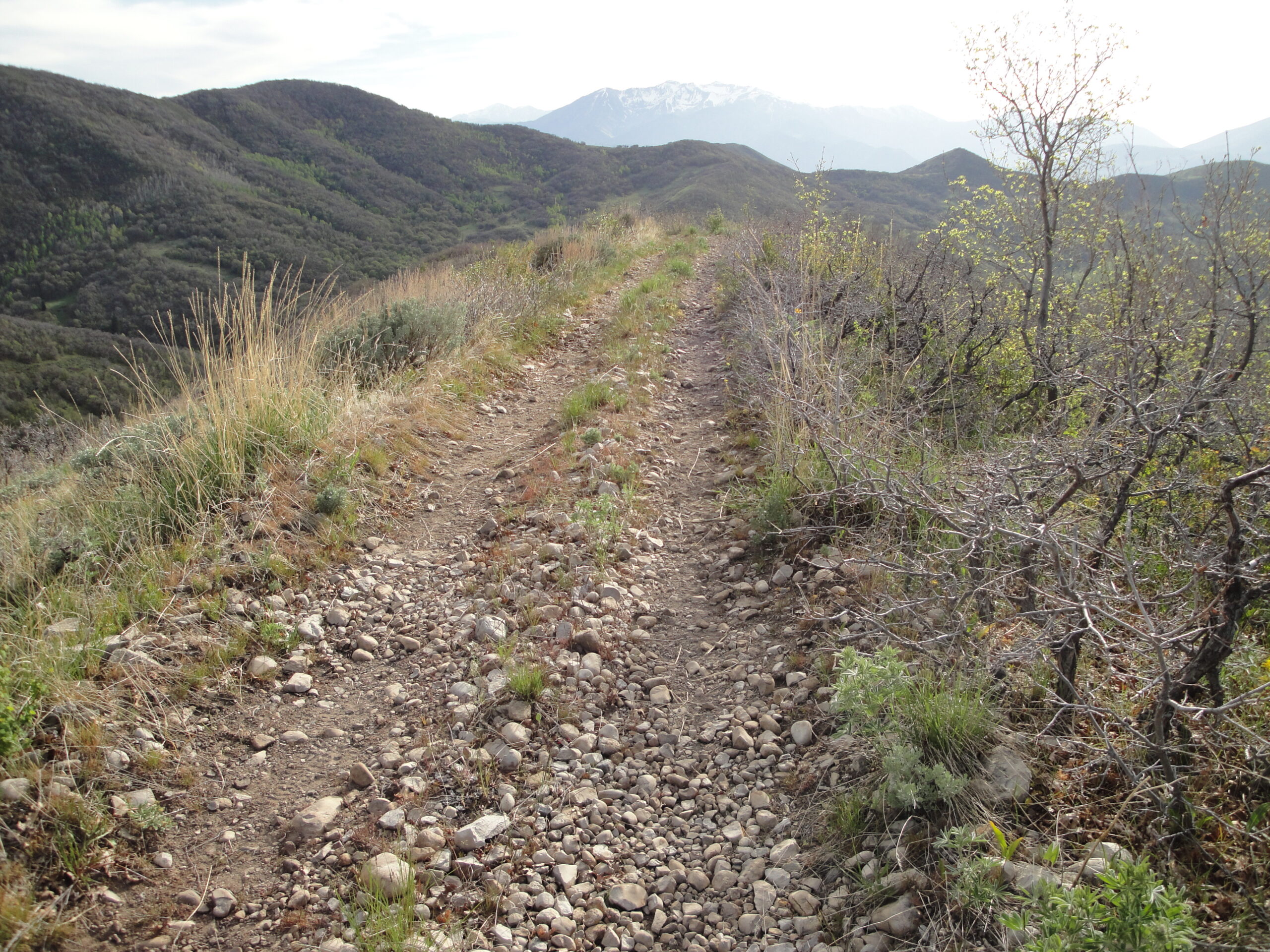
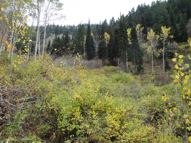
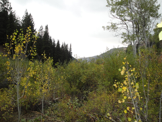
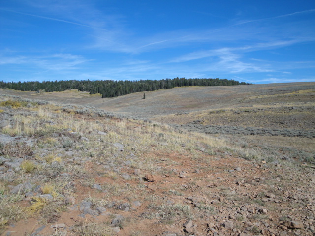
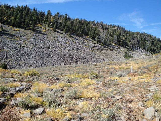
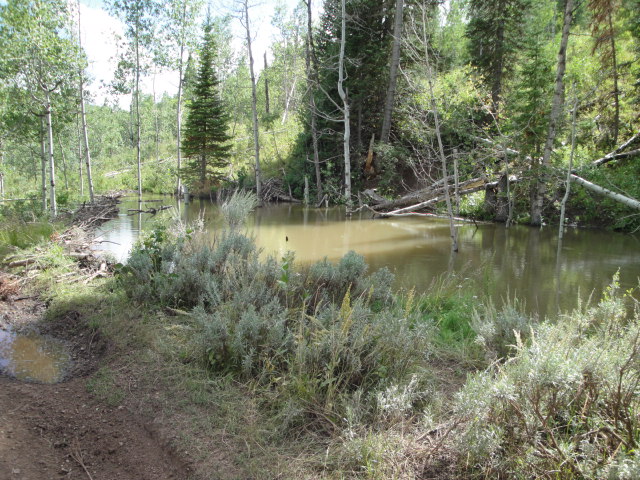
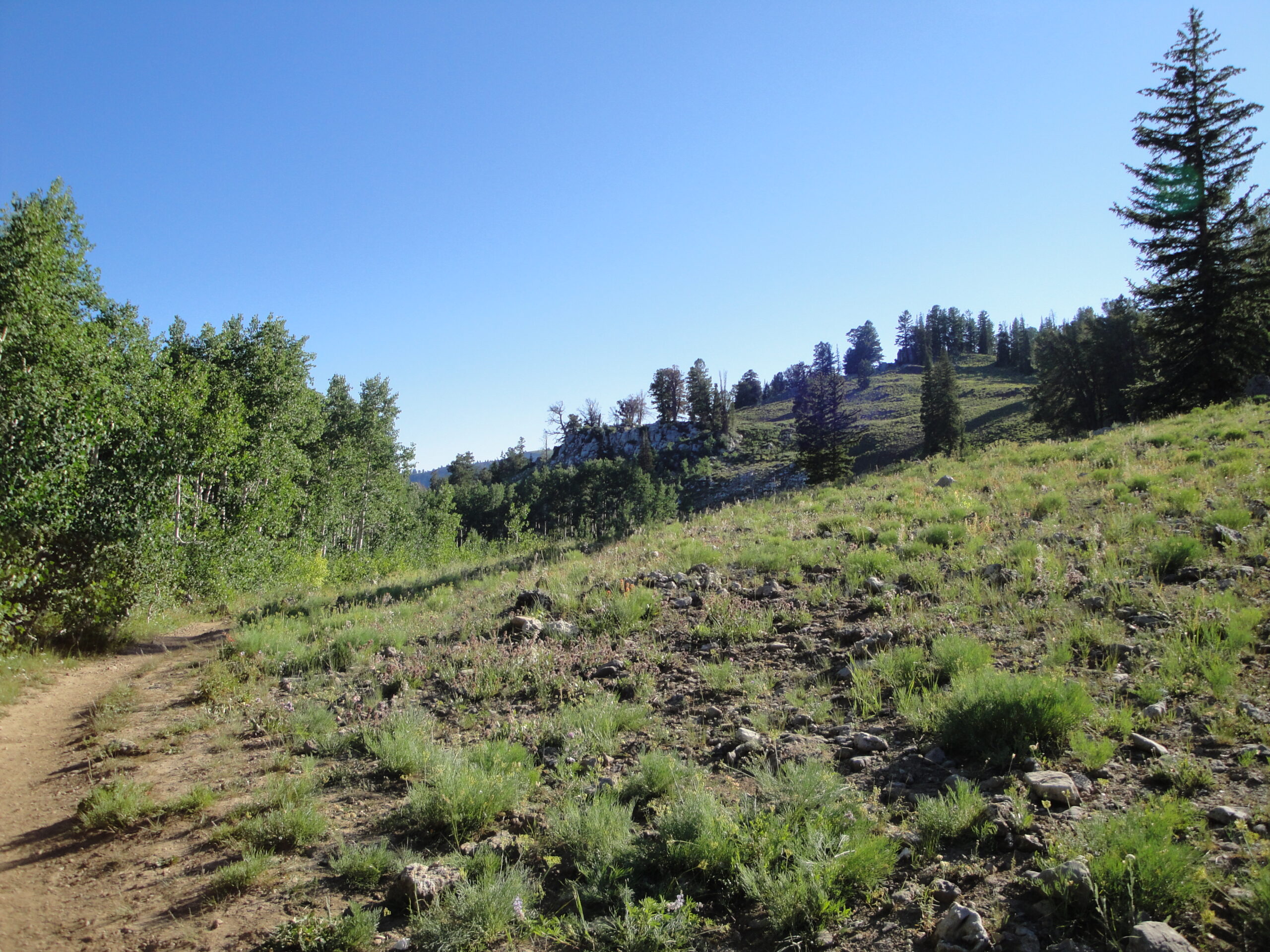
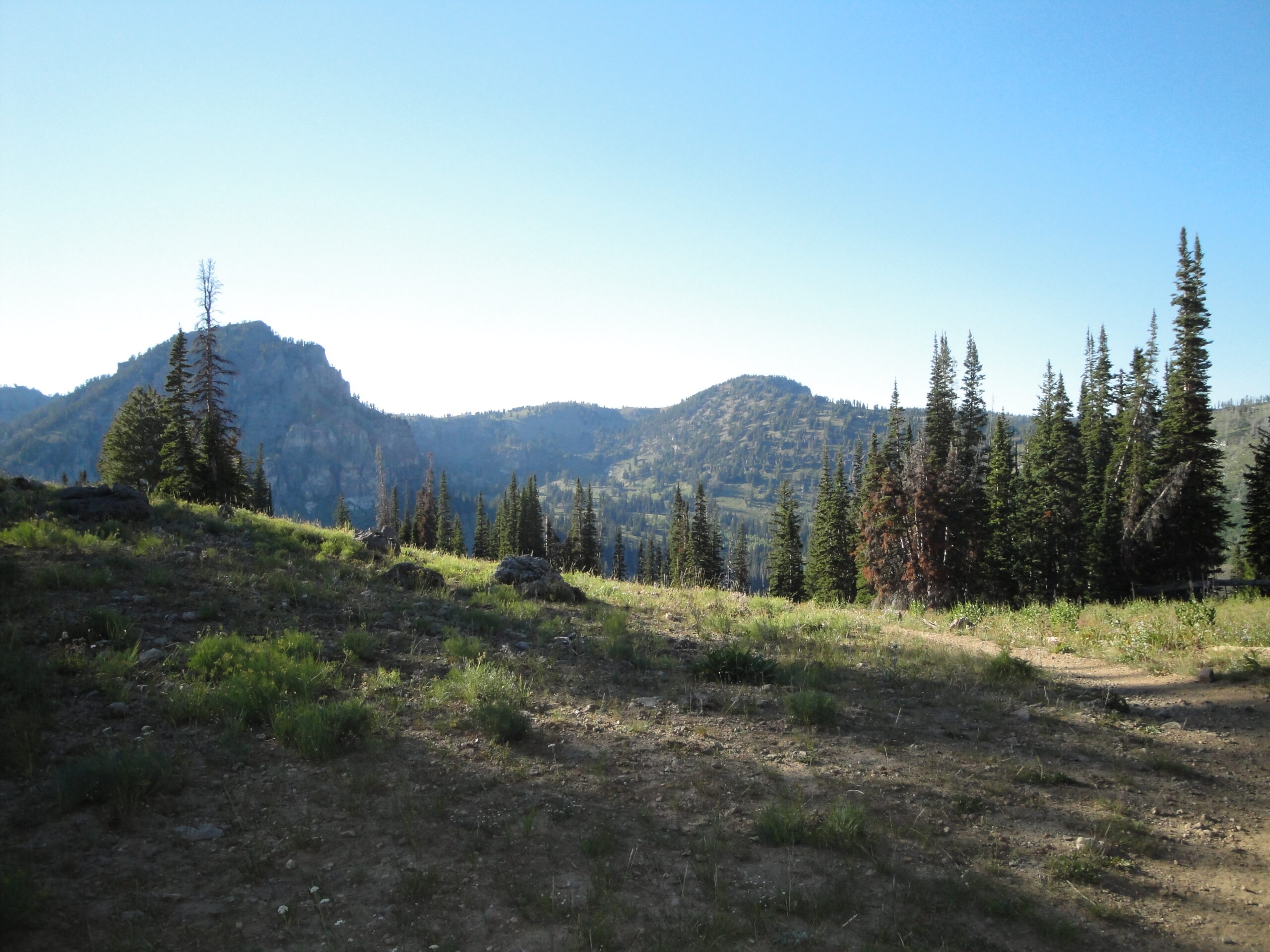
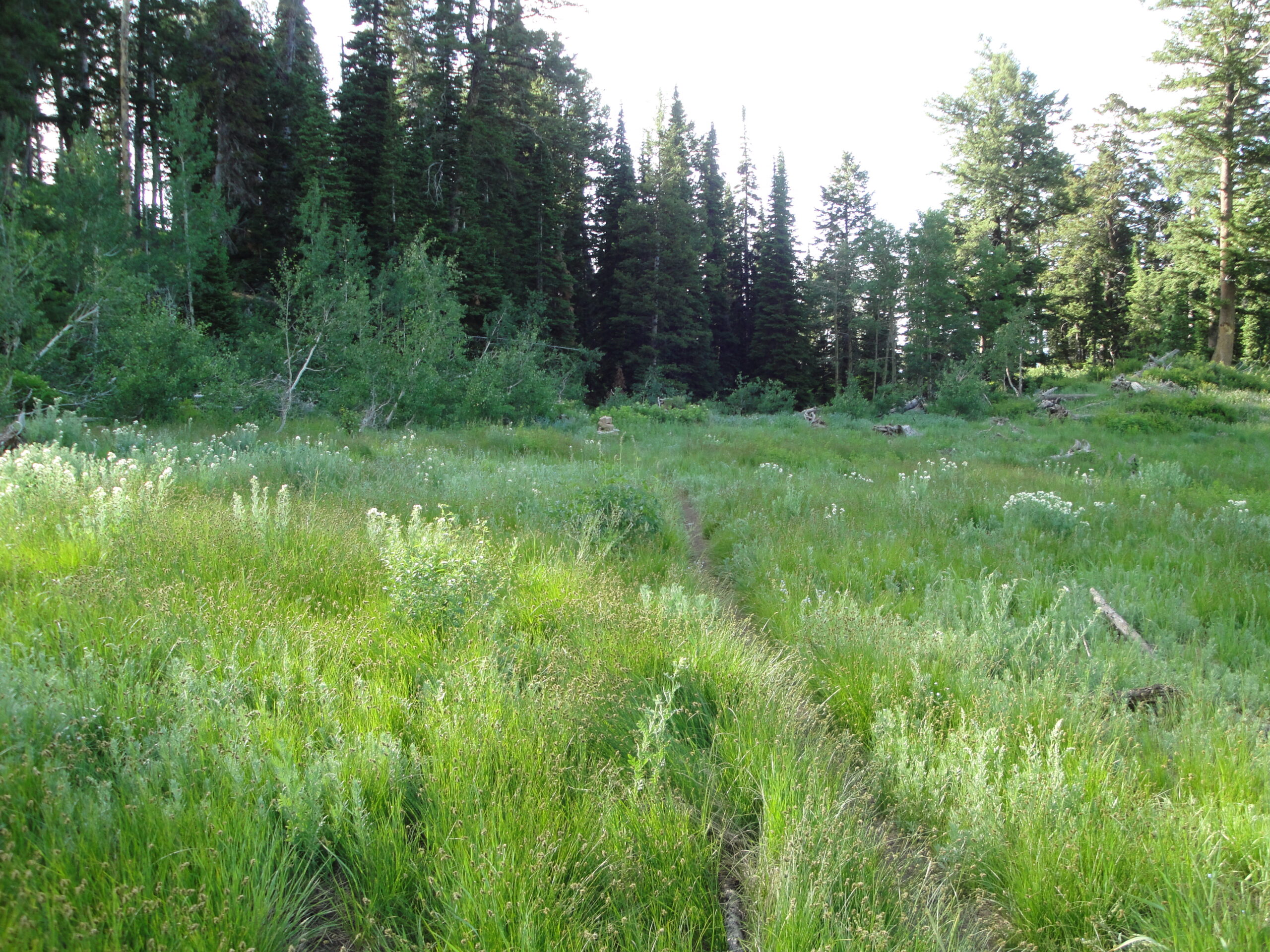
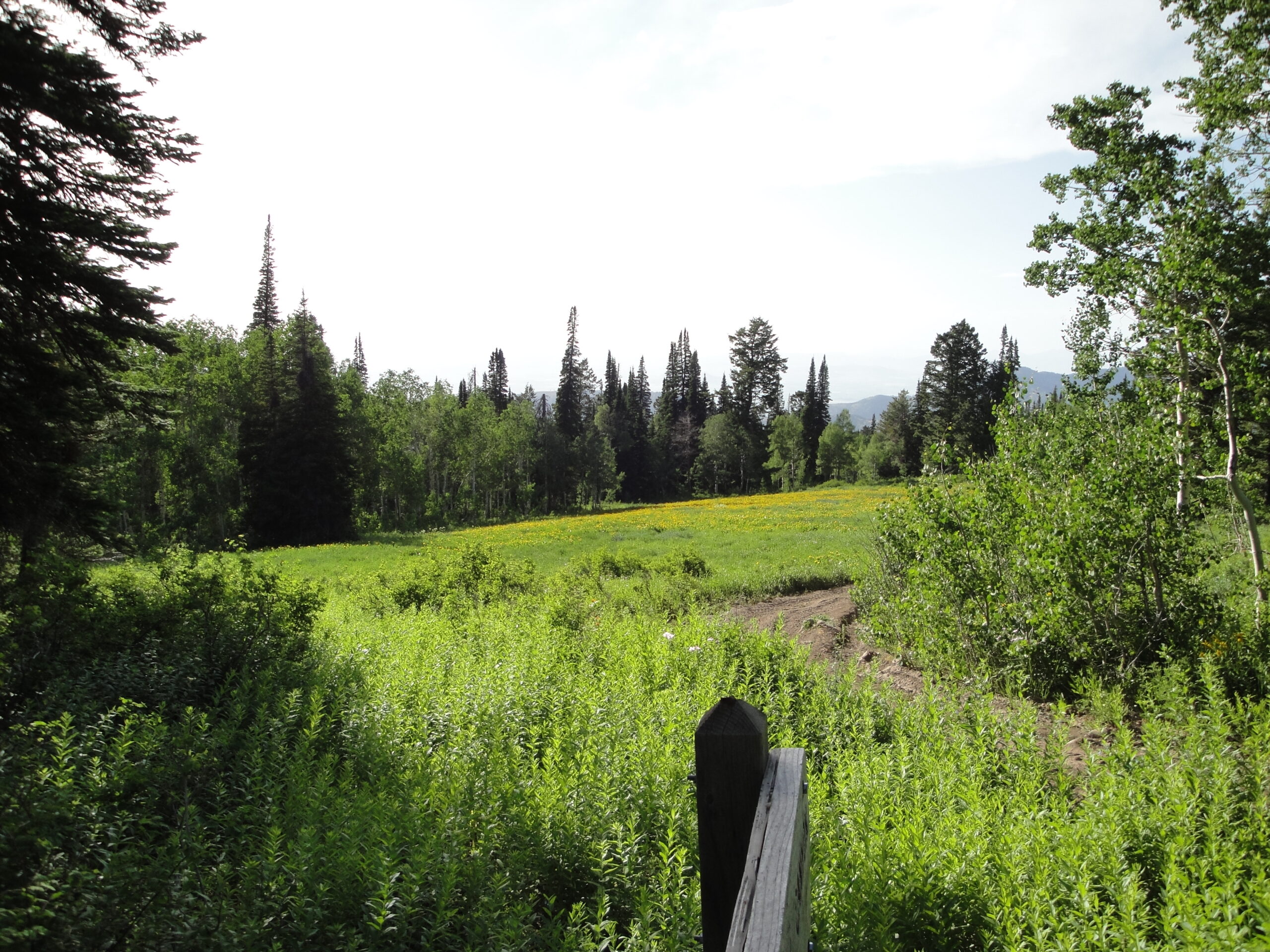
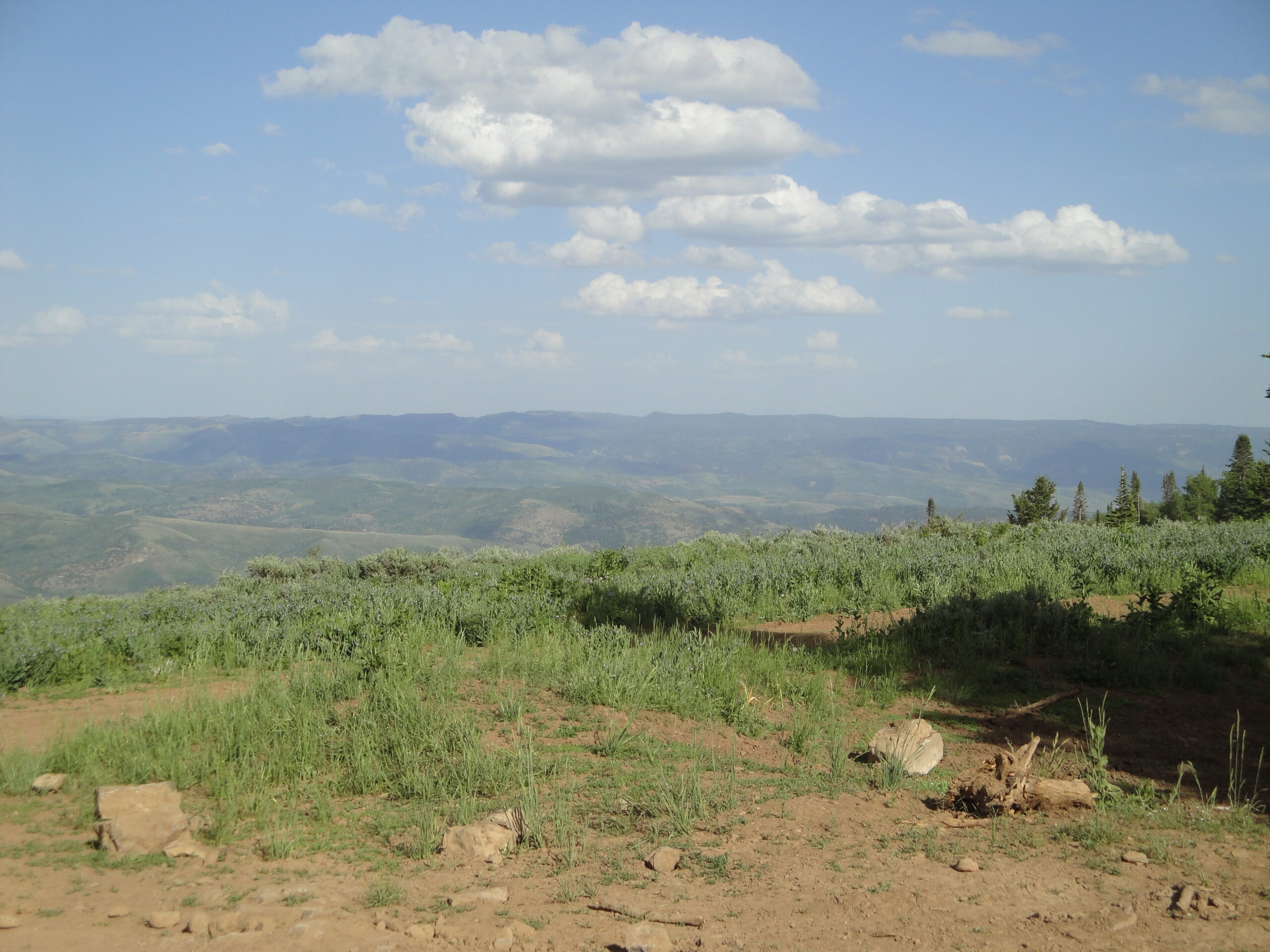
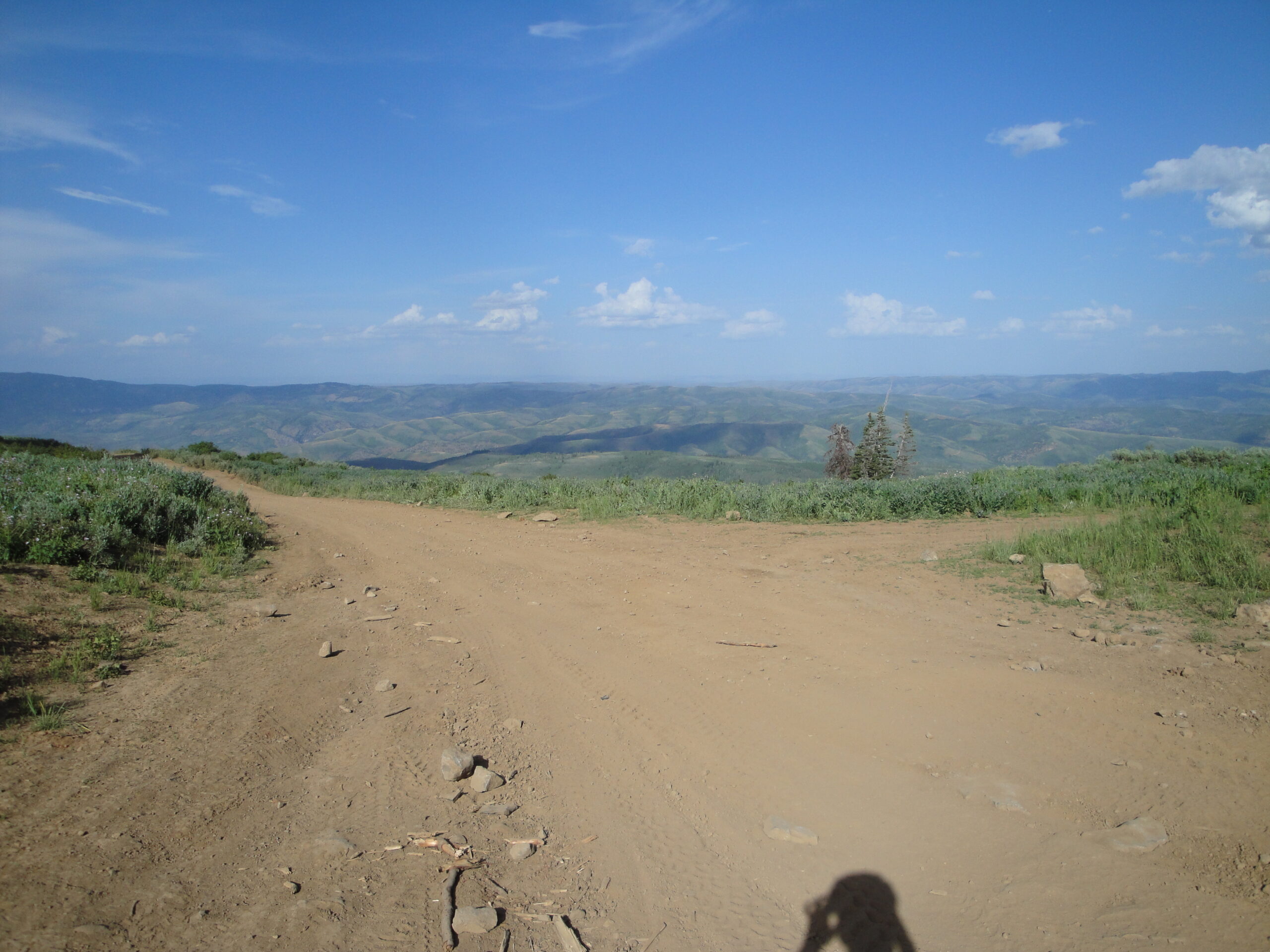
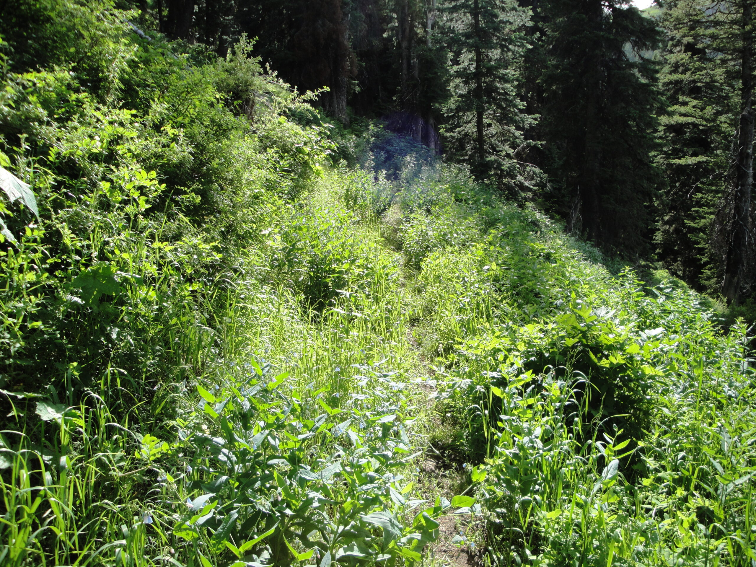
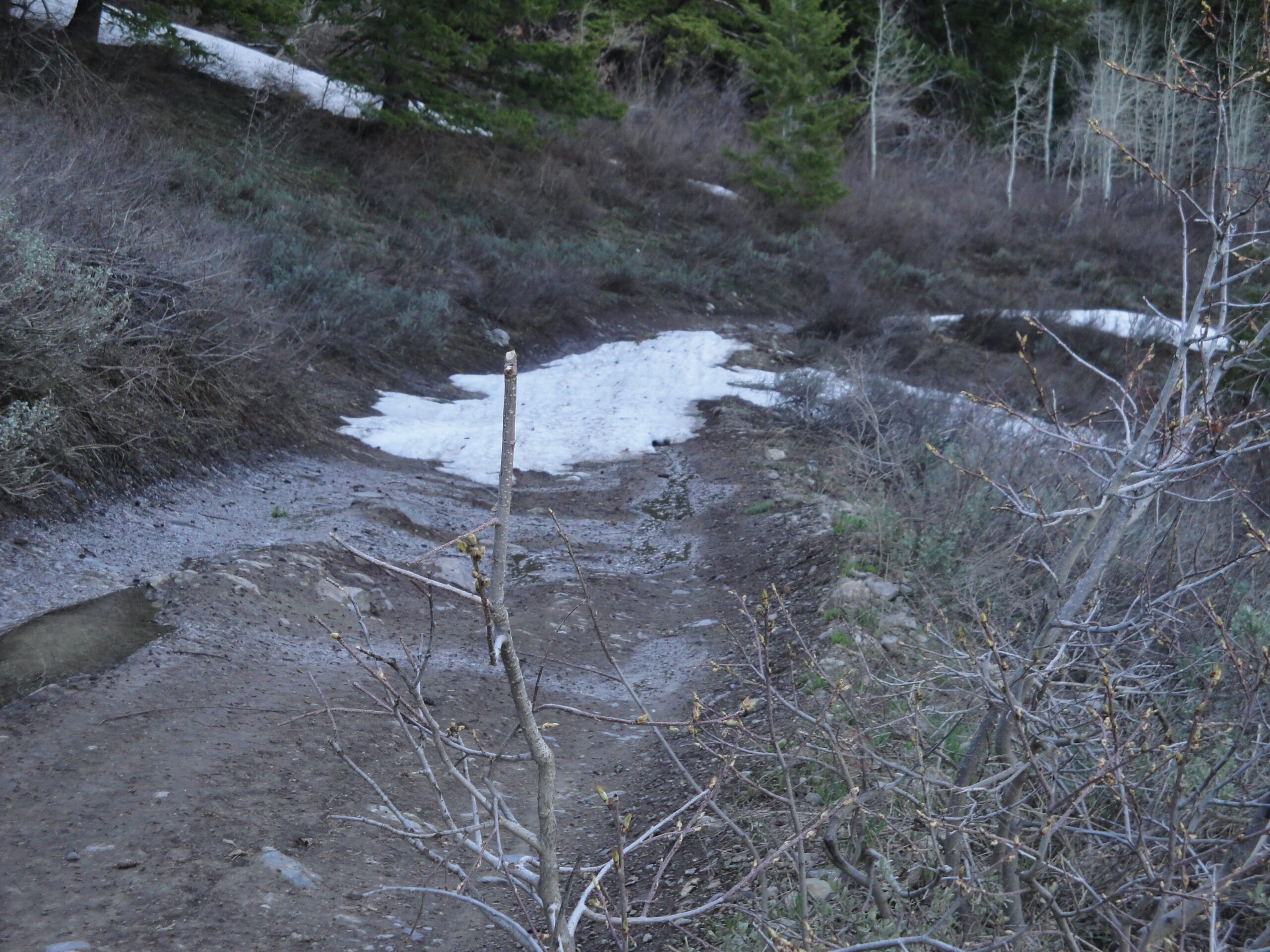
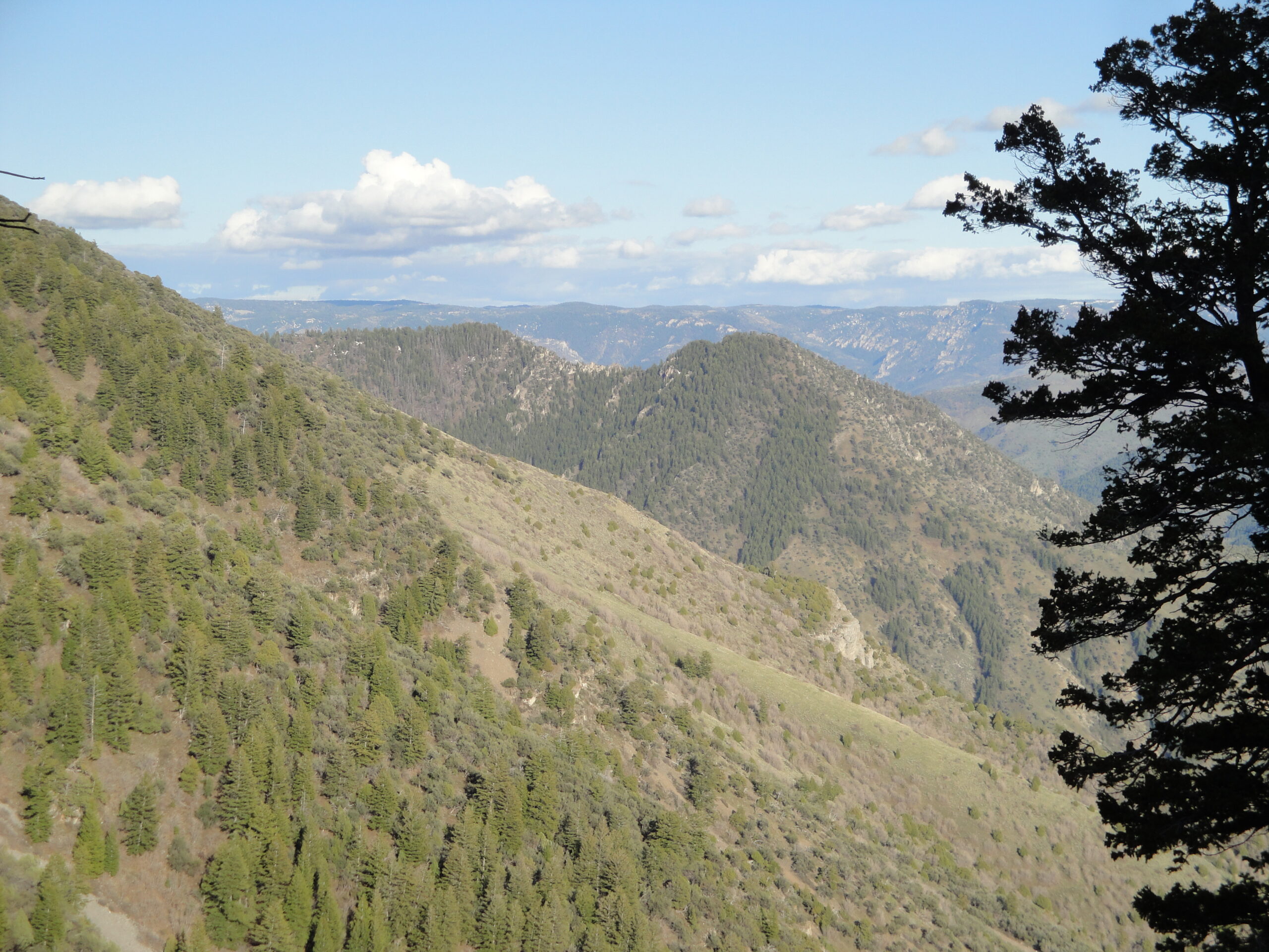
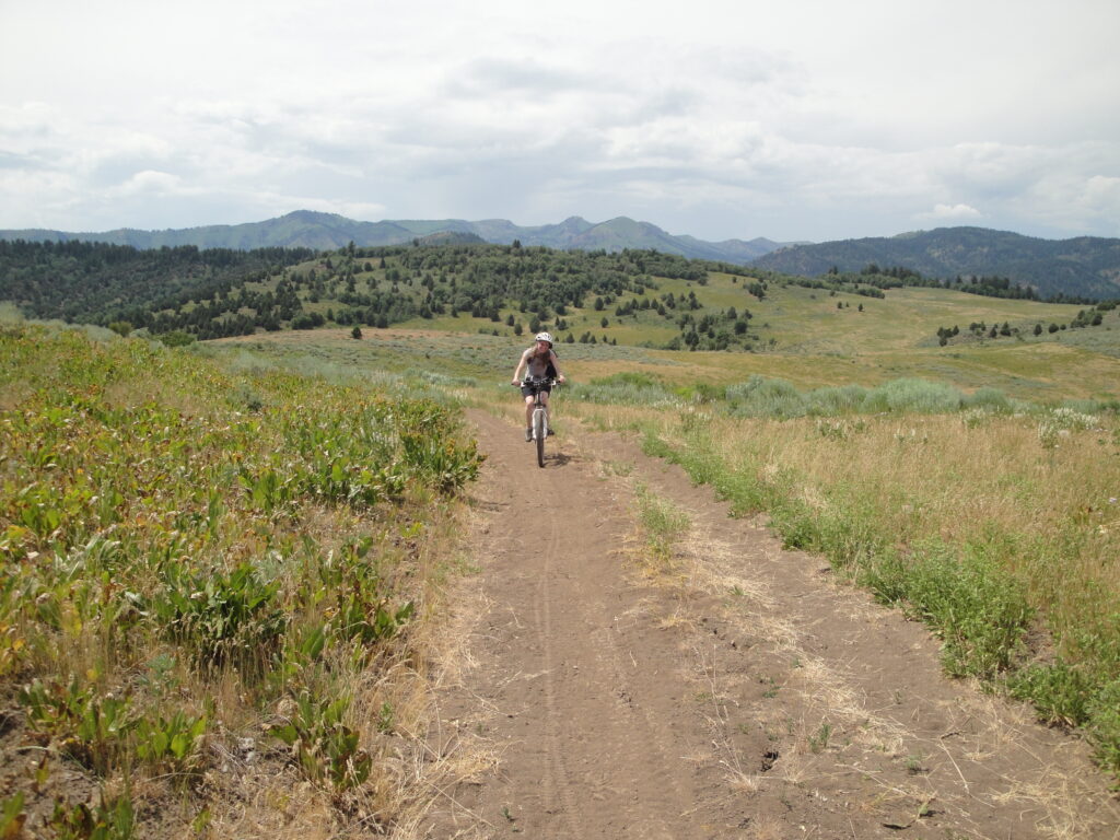
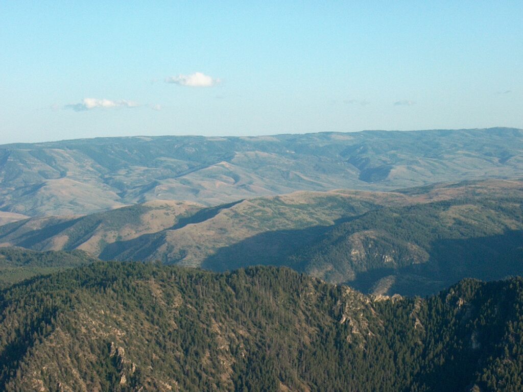
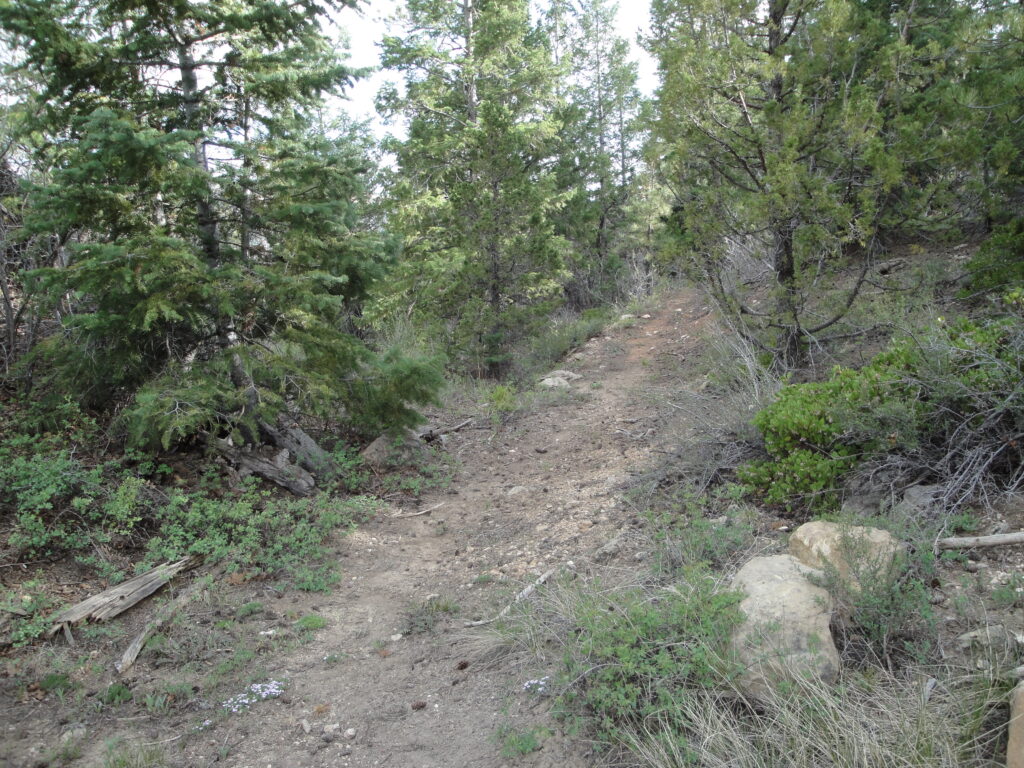
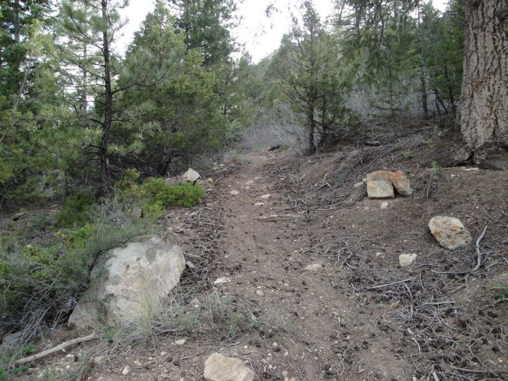
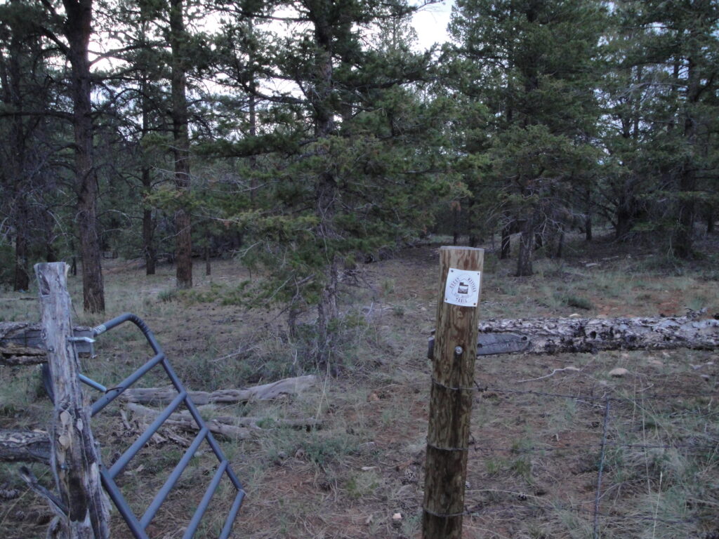
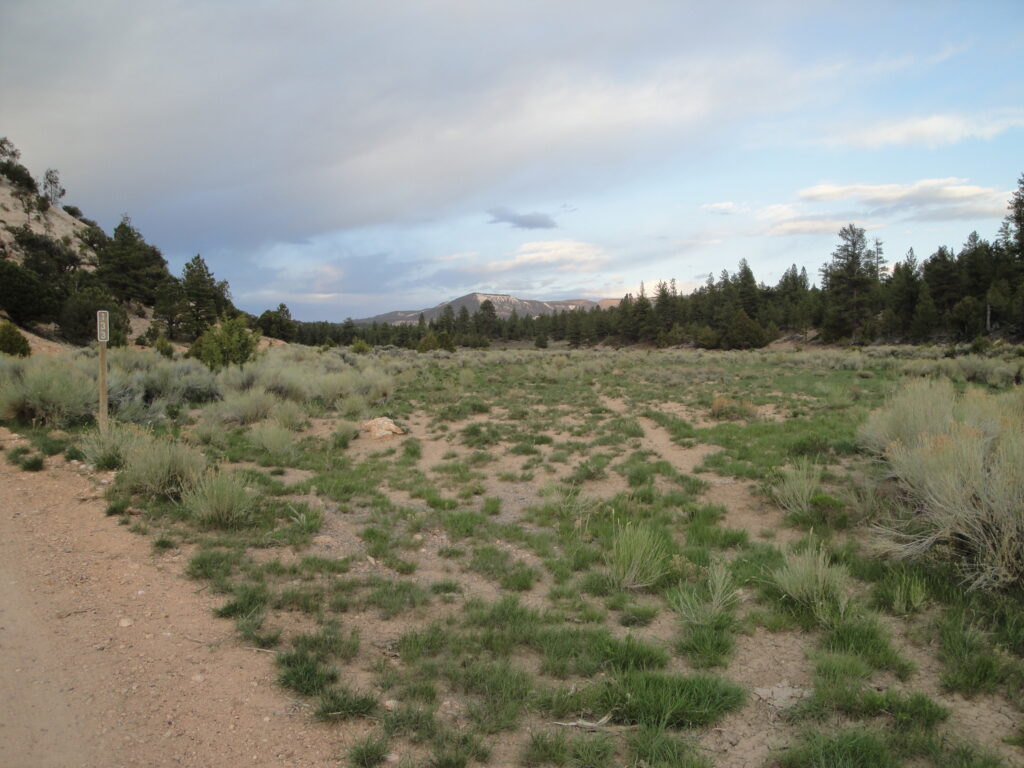
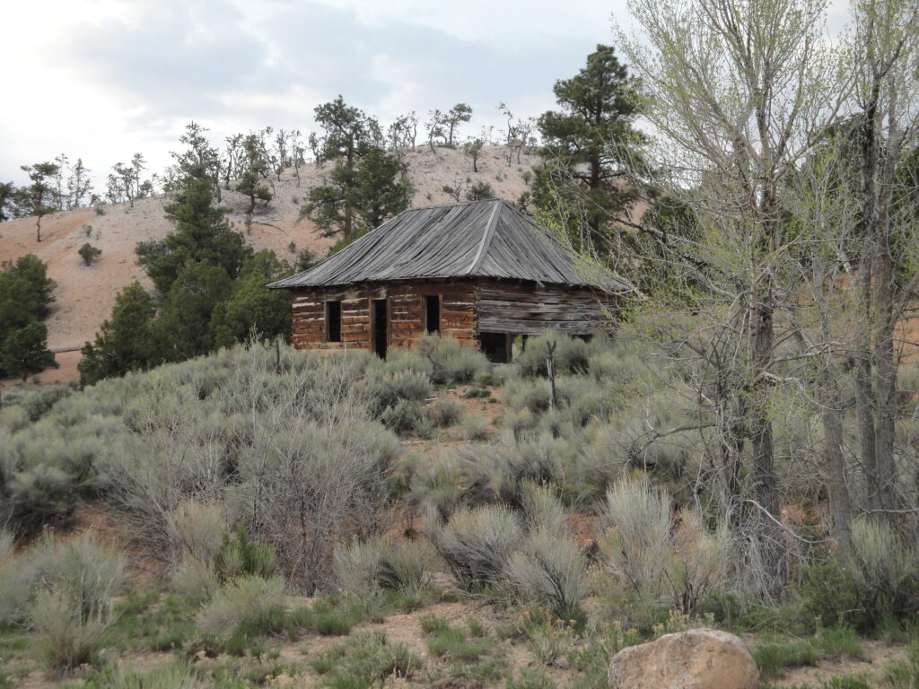
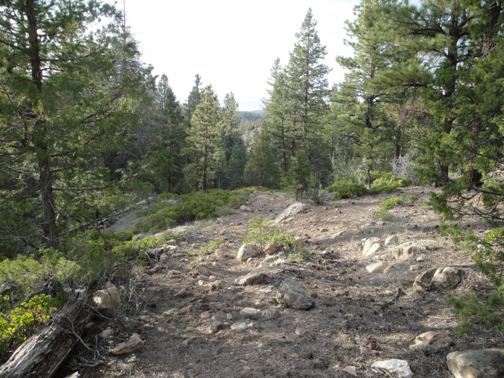
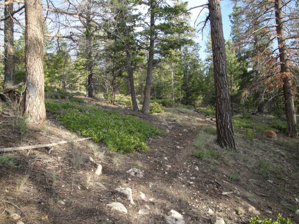
The Great Western Trail is supposed to be a trail that runs from Canada to Mexico through Montana, Idaho, Utah, and Arizona. I rode the a short section of the trail from Pine Lake near Tropic, UT to 10.6 miles north on the trail. The trail was not just a single track trail that was marked on the map but rather followed old roads and ATV trails that have been shutdown. Some of the trail was even on a cow path. Part of the trail took me a moment to find when I went through the gate in the picture. I though for a moment that I had lost the trail and that I would have to turn around earlier. Much of the trail is not really being used enough to keep it open and preventing over growth of the bushes on the trail. I was able to take a picture of an old homestead house towards the end of the trail trail that I rode on forest road 133.
The techinal aspect of the trail is that the majority of the ride was rated at a blue. There was one short section of trail that was steep and I had to walk the bike up which was also very difficult to ride down. The short section was rated as a triple black diamond. The other side of the hill that had to be walked up was difficult to ride up for only a short section but was doable. All other sections or which amounted to about 9 out of 10 miles being moderate but bumpy.